Bell Alders

Wood, Forest in Herefordshire

England

Bell Alders

Arthur's Stone. Sandstone Dolmen above the Golden Valley.
Arthur's Stone. Credit: Richard Webb

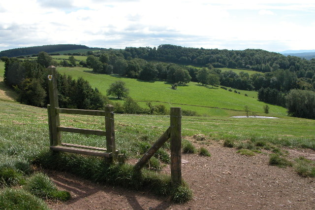
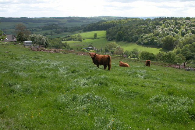
Bell Alders is a picturesque woodland located in Herefordshire, England. Situated in the heart of the county, this forested area covers a vast expanse of approximately 200 acres. The woodland is characterized by its dense growth of alder trees, which lend the area its distinctive name.

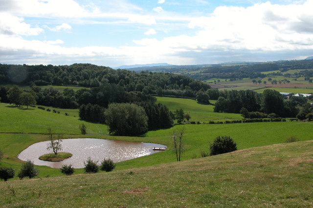
The landscape of Bell Alders is a sight to behold, with its towering trees and lush undergrowth. The alders dominate the canopy, creating a dense and shaded environment below. The forest floor is covered with a rich carpet of ferns, mosses, and wildflowers, adding to the enchanting atmosphere of the woodland.

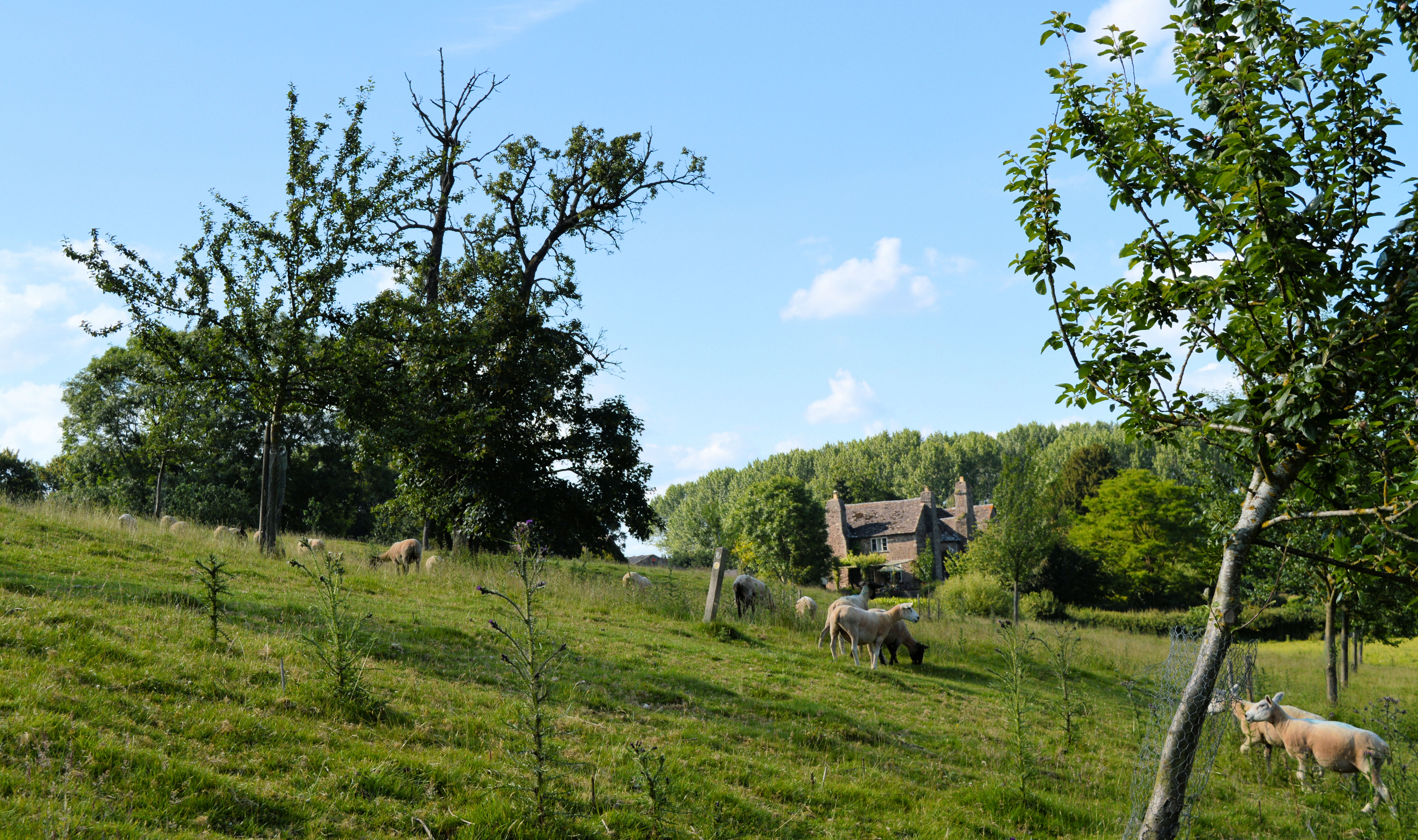
The diversity of wildlife in Bell Alders is remarkable, attracting nature enthusiasts and birdwatchers alike. The forest is home to a variety of bird species, including woodpeckers, owls, and various songbirds. Deer can often be spotted roaming through the woods, adding a touch of wilderness to the area.

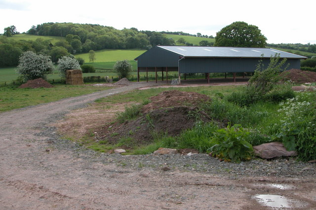
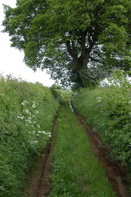
Visitors to Bell Alders can enjoy a range of recreational activities. The forest offers numerous walking trails, allowing visitors to explore the beauty of the woodland at their own pace. These trails wind through the forest, offering glimpses of the surrounding countryside and providing ample opportunities for nature photography.

For those seeking tranquility and a connection with nature, Bell Alders is a hidden gem in Herefordshire. Its serene atmosphere, diverse wildlife, and stunning scenery make it a must-visit destination for anyone looking to immerse themselves in the beauty of the English countryside.

If you have any feedback on the listing, please let us know in the comments section below.
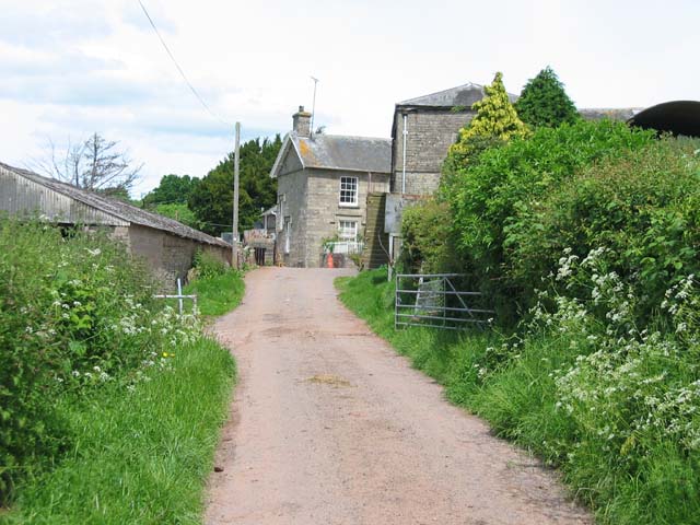
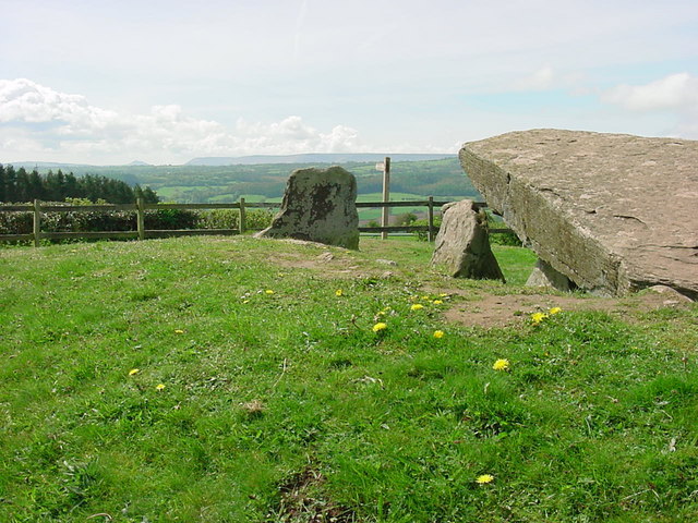
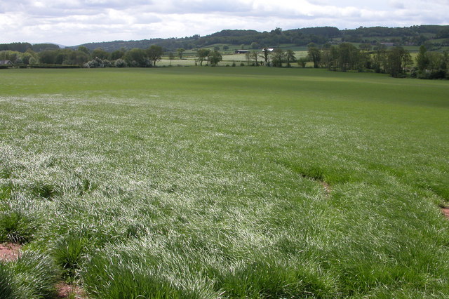
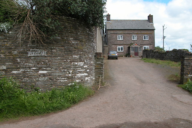
Bell Alders Images

Images are sourced within 2km of 52.075003/-3.0106214 or Grid Reference SO3042. Thanks to Geograph Open Source API. All images are credited.

Arthur's Stone. Sandstone Dolmen above the Golden Valley.
Arthur's Stone.
Sandstone Dolmen above the Golden Valley.
Arthur's Stone The remains of a Neolithic chambered tomb. It is named after King Arthur but it pre-dates this legendary king by thousands of years.  It is thought to date from between 3,700BC and 2,700BC.  It is situated almost 1000ft up on top of a hill between Bredwardine and Dorstone.
Arthur's Stone
The remains of a Neolithic chambered tomb. It is named after King Arthur but it pre-dates this legendary king by thousands of years. It is thought to date from between 3,700BC and 2,700BC. It is situated almost 1000ft up on top of a hill between Bredwardine and Dorstone.
Dorstone Castle This impressive motte and bailey is thought to date from 11th to 12th centuries.
Dorstone Castle
This impressive motte and bailey is thought to date from 11th to 12th centuries.
Hay Bluff and Black Mountains Silage stacked in the corner of a field on the side of Arthur's Stone Lane near Upper Barn above the village of Dorstone in the Golden Valley.  On the horizon is Hay Bluff and the Black Mountains.
Hay Bluff and Black Mountains
Silage stacked in the corner of a field on the side of Arthur's Stone Lane near Upper Barn above the village of Dorstone in the Golden Valley. On the horizon is Hay Bluff and the Black Mountains.
Dorstone Hill Dorstone Hill viewed from the footpath descending from Arthur's Stone to the village of Dorstone
Dorstone Hill
Dorstone Hill viewed from the footpath descending from Arthur's Stone to the village of Dorstone
The Golden Valley View south down the Golden Valley from the footpath which descends from Arthur's Stone to the village of Dorstone
The Golden Valley
View south down the Golden Valley from the footpath which descends from Arthur's Stone to the village of Dorstone
Sundial in the village of Dorstone Sundial on a small village green in Dorstone.
Sundial in the village of Dorstone
Sundial on a small village green in Dorstone.
Dorstone The green in the centre of Dorstone, the disk on top of the pillar is a sundial
Dorstone
The green in the centre of Dorstone, the disk on top of the pillar is a sundial
Llan Farm
Llan Farm
Arthur's Stone A sandstone dolmen on Dorstone Hill looking towards Cussop.
Arthur's Stone
A sandstone dolmen on Dorstone Hill looking towards Cussop.
The Golden Valley, Dorstone The Golden Valley is so named after the River Dore which flows through it. These fields are located to the south-east of Dorstone.
The Golden Valley, Dorstone
The Golden Valley is so named after the River Dore which flows through it. These fields are located to the south-east of Dorstone.
The Pandy Inn, Dorstone Public house in the village of Dorstone in the Golden Valley.
The Pandy Inn, Dorstone
Public house in the village of Dorstone in the Golden Valley.
Lane to the Woodland, Dorstone
Dorstone viewed from Mill Wood In the middle of the picture Dorstone church can be seen.
Dorstone viewed from Mill Wood
In the middle of the picture Dorstone church can be seen.
Little Penlan Farm, Dorstone Farm above the Golden Valley
Little Penlan Farm, Dorstone
Farm above the Golden Valley
Highland cattle in Herefordshire Highland cattle in a field opposite Little Penlan Farm, above Dorstone in the Golden Valley.
Highland cattle in Herefordshire
Highland cattle in a field opposite Little Penlan Farm, above Dorstone in the Golden Valley.
New barn, near Little Bage This is a new barn built alongside the course of the old railway line which used to serve the Golden Valley. The barn is not yet shown on OS maps, it is located by the junction of Spoon Lane with Scar Lane.
New barn, near Little Bage
This is a new barn built alongside the course of the old railway line which used to serve the Golden Valley. The barn is not yet shown on OS maps, it is located by the junction of Spoon Lane with Scar Lane.
Spoon Lane, Dorstone At its northern end Spoon Lane is used as access by the farmer to nearby fields, further on it is used less frequently.
Spoon Lane, Dorstone
At its northern end Spoon Lane is used as access by the farmer to nearby fields, further on it is used less frequently.
Show me another place!

Bell Alders is located at Grid Ref: SO3042 (Lat: 52.075003, Lng: -3.0106214)

Unitary Authority: County of Herefordshire

Police Authority: West Mercia

What 3 Words

///soggy.detect.pebble. Near Dorstone, Herefordshire

Nearby Locations

Bell Alders

Related Wikis

Dorstone

Dorstone is a village within the Golden Valley, Herefordshire, England. There is a church and public house with restaurant. The Golden Valley area offers...
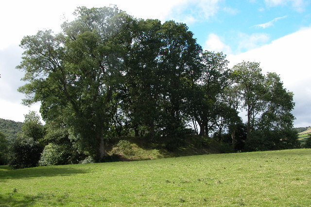
Dorstone Castle

Dorstone Castle was in the village of Dorstone in Herefordshire, England, located 6 miles to the east of Hay-on-Wye. == Motte and bailey == This was a...

Dorstone railway station

Dorstone railway station was a station in Dorstone, Herefordshire, England. The station was opened in 1881, closed to passengers in 1941 and closed completely...

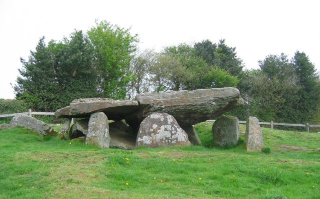
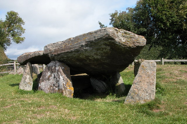
Arthur's Stone, Herefordshire

Arthur's Stone is a Neolithic chambered tomb, or dolmen, in Herefordshire, England. It is situated on the ridge line of a hill overlooking both the Golden...

Snodhill Castle

Snodhill Castle is a ruined motte-and-bailey castle, about 1 mi (1.6 km) south of the village of Dorstone in west Herefordshire, England. It is recognized...

Westbrook railway station (England)

Westbrook railway station was a station to the northwest of Dorstone, Herefordshire, England. The station was opened in 1881, closed to passengers in 1941...

Bredwardine

Bredwardine is a village and civil parish in the west of Herefordshire, England. Significant parish landmarks include a brick bridge over the River Wye...

Bredwardine Castle

Bredwardine Castle was sited in the village of Bredwardine in Herefordshire, England beside the River Wye. Thought to have been built in the second half...

Nearby Amenities

Located within 500m of 52.075003,-3.0106214
Bus Stop
Main Road
Naptan AtcoCode: 2090A19850
Naptan Bearing: SE
Naptan CommonName: Main Road
Naptan Indicator: opp junction
Naptan Landmark: Cross roads
Naptan NaptanCode: herampgp
Naptan Street: B4348
Naptan Verified: no
Source: naptan_import
Lat/Long: 52.0710813/-3.0076636
Power: pole
Source: Bing
Lat/Long: 52.0721652/-3.0090899
Power: pole
Source: Bing
Lat/Long: 52.0720581/-3.0075878
Power: pole
Source: Bing
Lat/Long: 52.0718916/-3.00567
Power: pole
Source: Bing
Lat/Long: 52.0723136/-3.010844
The data included in this document is from www.openstreetmap.org. The data is made available under ODbL.

Have you been to Bell Alders?

Leave your review of Bell Alders below (or comments, questions and feedback).