Bield Coppice
Wood, Forest in Westmorland South Lakeland
England
Bield Coppice
Bield Coppice is a picturesque woodland area located in the county of Westmorland, England. Situated amidst the stunning natural beauty of the Lake District, this well-preserved forest offers visitors an enchanting experience with its rich biodiversity and tranquil surroundings.
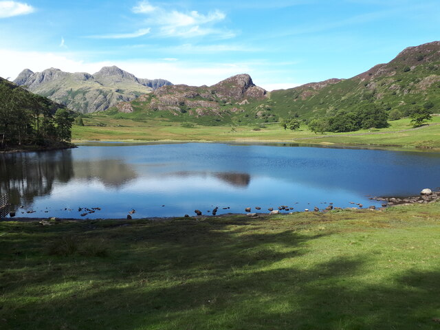
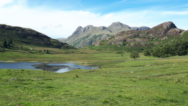
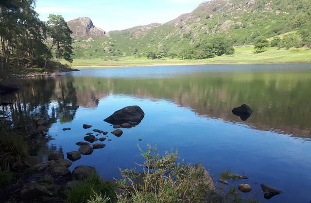
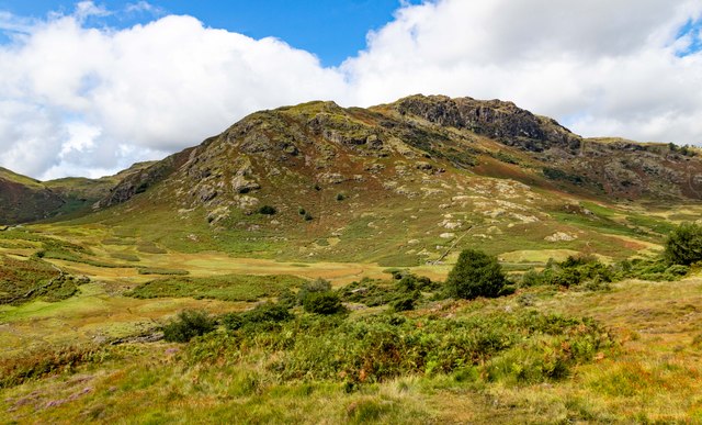
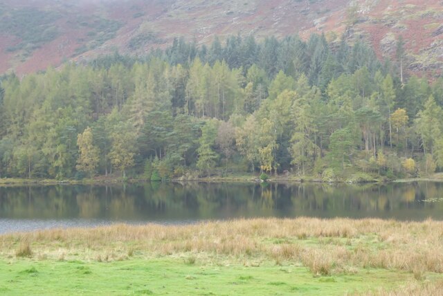
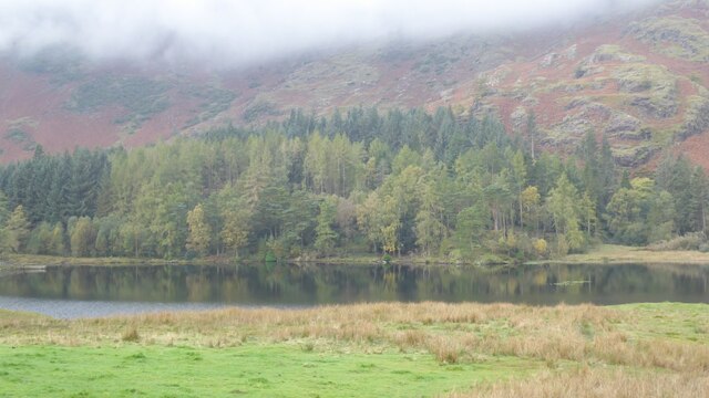
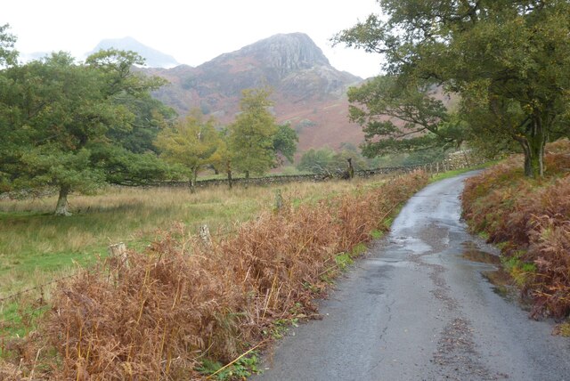
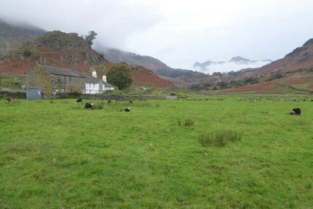
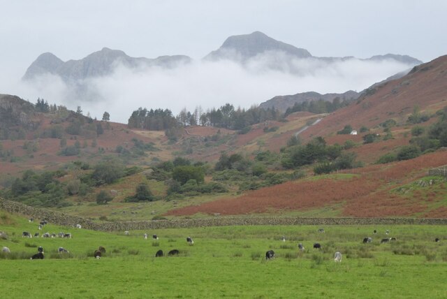
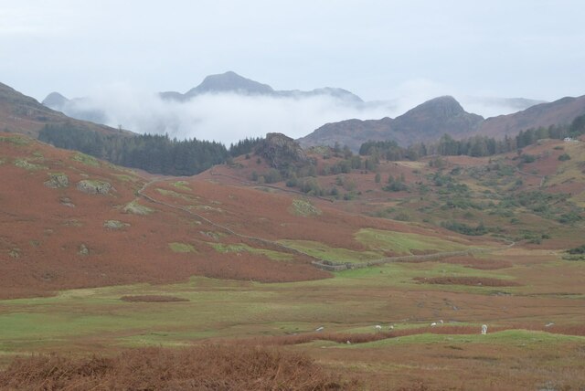
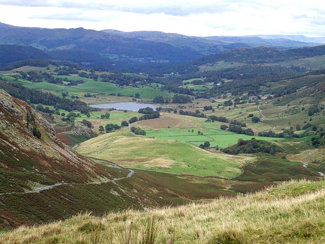
Covering an area of approximately 100 acres, Bield Coppice is characterized by a diverse range of tree species, including oak, beech, birch, and ash. The dense canopy formed by these towering trees provides a cool and shady retreat from the summer heat. The forest floor is adorned with a colorful carpet of wildflowers, creating a vibrant and visually appealing landscape.
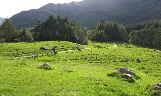
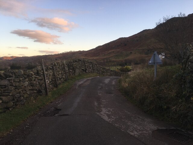
The woodland is intersected by numerous winding paths and trails, making it an ideal destination for walkers, hikers, and nature enthusiasts. These well-maintained routes offer visitors the opportunity to explore the forest's hidden treasures, such as secluded clearings, babbling brooks, and small ponds teeming with aquatic life.
Bield Coppice is home to a variety of wildlife, including deer, squirrels, badgers, and a wide array of bird species. Birdwatchers flock to the area to catch a glimpse of the elusive woodpeckers, owls, and various songbirds that inhabit the forest.
The tranquility and natural beauty of Bield Coppice make it a popular spot for relaxation and meditation. Many visitors take advantage of the peaceful environment to practice yoga, mindfulness, or simply enjoy a picnic amidst the serenity of the woods.
Overall, Bield Coppice offers a delightful escape into nature, providing an opportunity to immerse oneself in the beauty of Westmorland's woodlands and experience the tranquility of the English countryside.
If you have any feedback on the listing, please let us know in the comments section below.
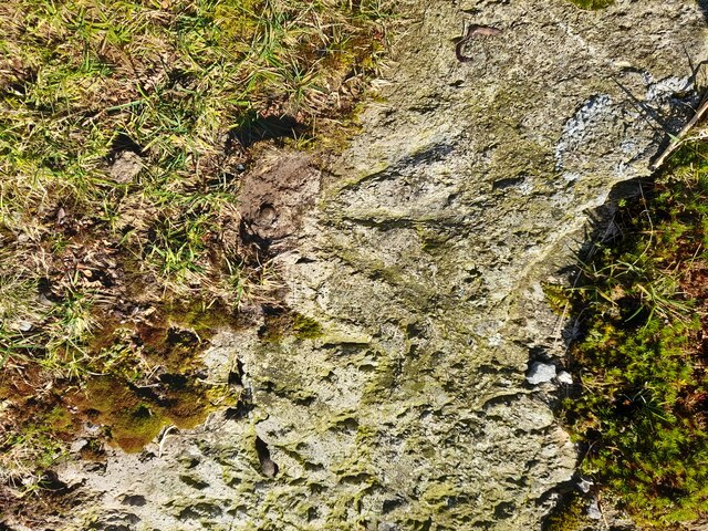
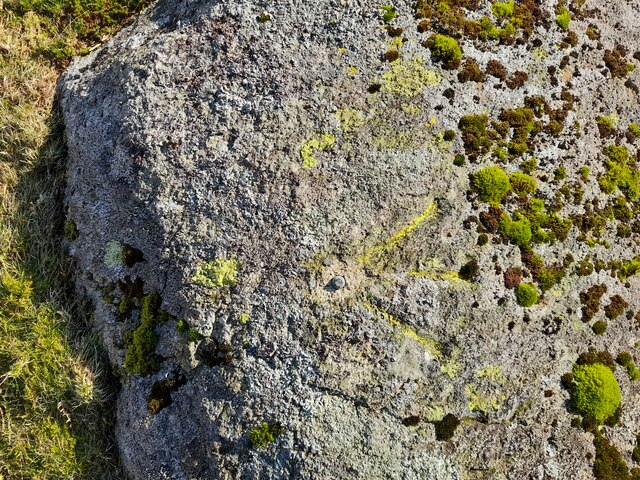
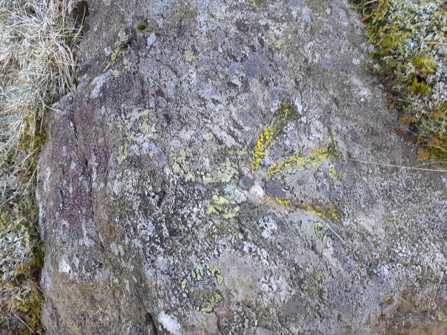
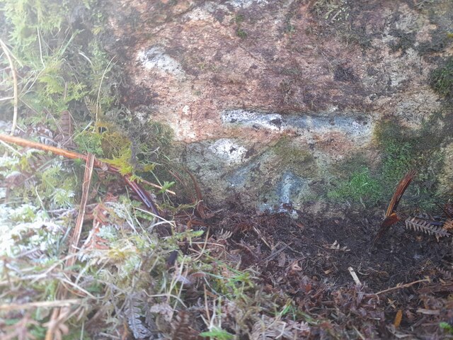
Bield Coppice Images
Images are sourced within 2km of 54.422331/-3.0681027 or Grid Reference NY3003. Thanks to Geograph Open Source API. All images are credited.

Bield Coppice is located at Grid Ref: NY3003 (Lat: 54.422331, Lng: -3.0681027)
Administrative County: Cumbria
District: South Lakeland
Police Authority: Cumbria
What 3 Words
///wiggly.jiggle.fabricate. Near Ambleside, Cumbria
Nearby Locations
Related Wikis

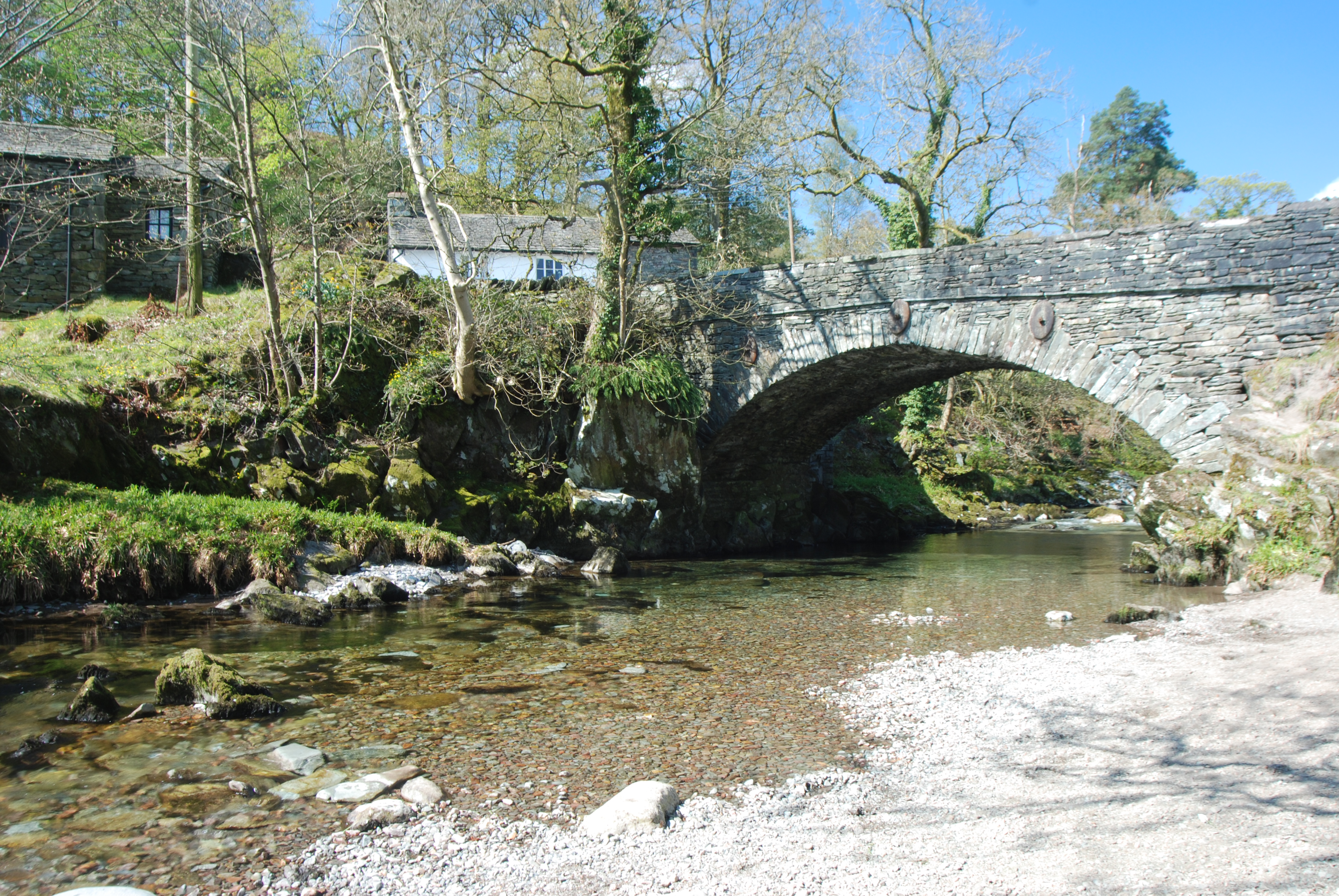
Slater's Bridge
Slater's Bridge is a traditional packhorse bridge in Little Langdale in the English Lake District, standing at National Grid Reference NY3120502996....
Little Langdale
Little Langdale is a valley in the Lake District, England, containing Little Langdale Tarn and a hamlet also called Little Langdale. A second tarn, Blea...

Ting Mound
The Ting Mound or Thing Moot at Fellfoot Farm, Little Langdale, Cumbria, England is an Ancient Monument (a 'nationally important' archaeological site)...

Lingmoor Fell
Lingmoor Fell is a fell in the English Lake District, situated eight kilometres (five miles) west of Ambleside. The fell reaches a height of 469 m (1,540...

Elterwater Bridge
Elterwater Bridge is a Grade II listed single-arch bridge spanning Great Langdale Beck in Elterwater, Cumbria, England. The structure dates to 1702.The...
Elterwater
Elterwater is a village in the English Lake District and the county of Cumbria. The village lies half a mile (800 m) north-west of the lake of Elter Water...

Chapel Stile
Chapel Stile is a village in Cumbria, England, located approximately 5 miles northwest of Ambleside, within the Langdale valley. It contains a school,...
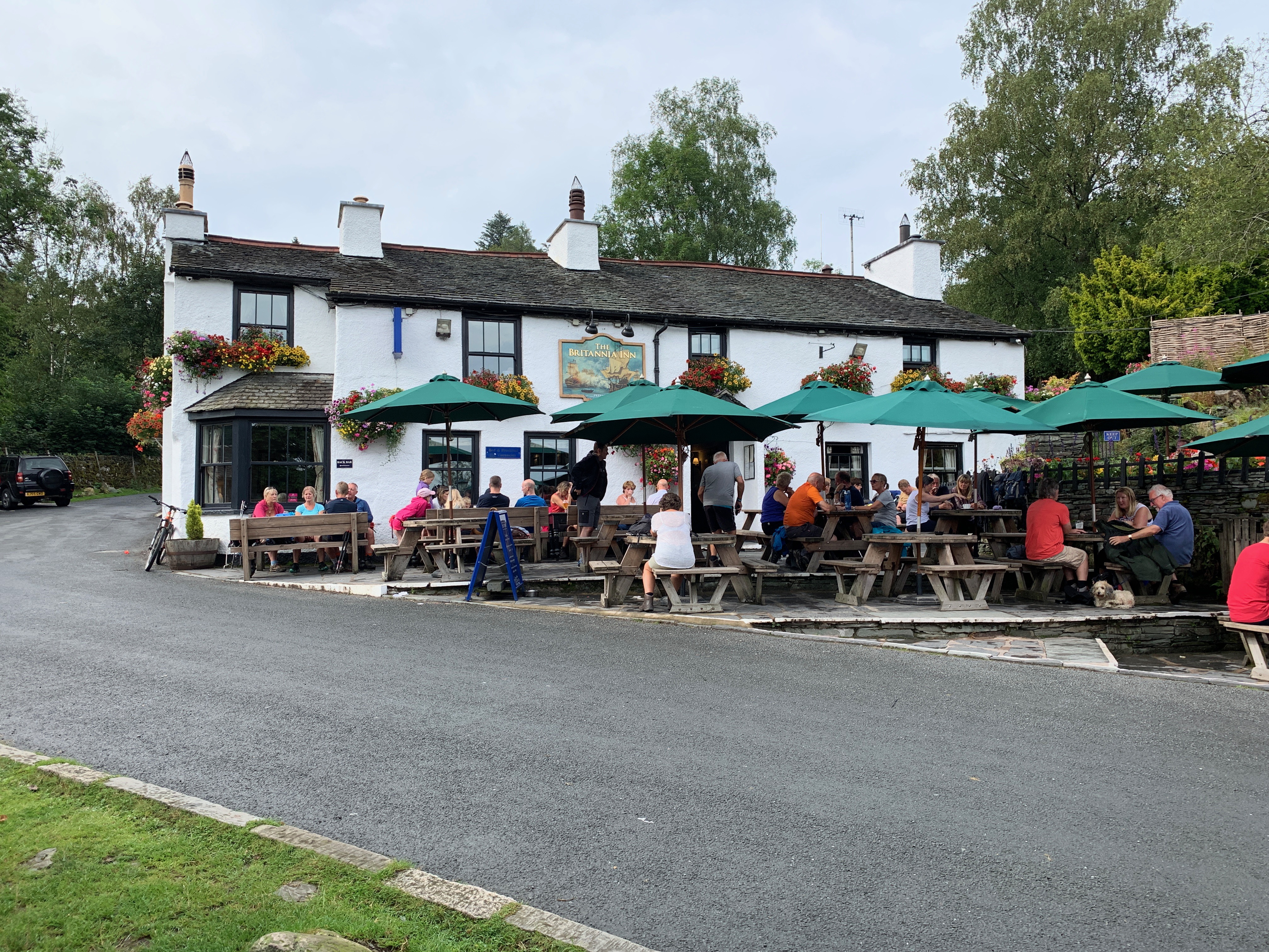
Britannia Inn
The Britannia Inn is a public house and inn in the English village of Elterwater, Cumbria. Dating to the 17th century, it is a Grade II listed building...
Nearby Amenities
Located within 500m of 54.422331,-3.0681027Have you been to Bield Coppice?
Leave your review of Bield Coppice below (or comments, questions and feedback).