Ashen Coppice

Wood, Forest in Herefordshire

England

Ashen Coppice

Rockyfold Farm Viewed from Escley Lane; great name for a farm!
Rockyfold Farm Credit: Jonathan Billinger

Ashen Coppice is a picturesque woodland located in Herefordshire, England. Covering an area of approximately 100 acres, it is a stunning example of the region's natural beauty and rich biodiversity. The woodland is predominantly composed of broadleaf trees, such as oak, ash, and beech, which create a dense canopy, providing shade and shelter for a variety of wildlife.

Visitors to Ashen Coppice can enjoy a tranquil and peaceful environment, perfect for those seeking a break from the hustle and bustle of daily life. The woodland is crisscrossed with well-maintained walking trails, allowing visitors to explore its enchanting nooks and crannies, and discover its hidden treasures.

The forest floor is carpeted with a vibrant array of wildflowers, including bluebells, primroses, and wood anemones, which bloom in spring, creating a breathtaking display of colors. This, in turn, attracts numerous species of butterflies and insects, making Ashen Coppice a haven for nature enthusiasts and photographers.

The woodland is also home to a diverse array of wildlife. Birdwatchers can spot a variety of species, including woodpeckers, owls, and songbirds. Squirrels, foxes, and deer are also commonly sighted, adding to the charm and appeal of the area.

Ashen Coppice is not only a place of natural beauty but also holds historical significance. It has been managed sustainably for centuries, with evidence of charcoal production and woodland management practices dating back to medieval times. This rich history adds an extra layer of fascination for those interested in the cultural heritage of the region.

Overall, Ashen Coppice is a captivating woodland that offers visitors a chance to immerse themselves in nature, explore its diverse ecosystem, and experience the tranquility and beauty of Herefordshire's countryside.

If you have any feedback on the listing, please let us know in the comments section below.

Ashen Coppice Images

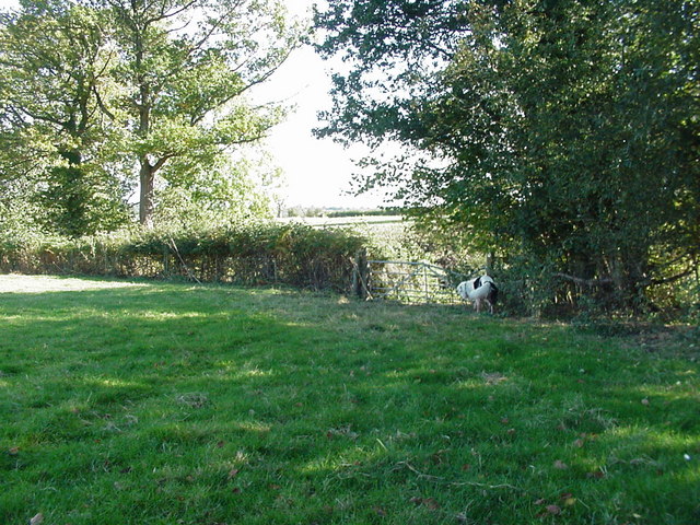
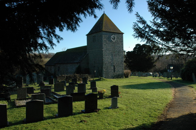
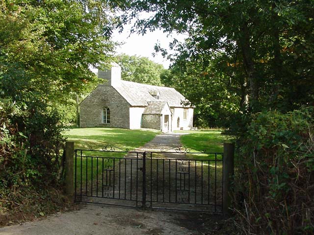
Images are sourced within 2km of 52.003792/-3.015091 or Grid Reference SO3034. Thanks to Geograph Open Source API. All images are credited.

Rockyfold Farm Viewed from Escley Lane; great name for a farm!
Rockyfold Farm
Viewed from Escley Lane; great name for a farm!
Twin entrances Right to Rockyfold Farm, left to a different property.
Twin entrances
Right to Rockyfold Farm, left to a different property.
Camp site and parking at Michaelchurch Escley
52°N 3°W The intersection of the integer latitude and longitude lines is marked by this oak tree in a scene typical of the square.
52°N 3°W
The intersection of the integer latitude and longitude lines is marked by this oak tree in a scene typical of the square.
Church at Michaelchurch Escley
Cefn Ceist Farm, near Michaelchurch Escley The Black Mountains fill the horizon.
Cefn Ceist Farm, near Michaelchurch Escley
The Black Mountains fill the horizon.
Michaelchurch Escley - Cricket Pitch The cricket pitch and pavilion
Michaelchurch Escley - Cricket Pitch
The cricket pitch and pavilion
Michaelchurch Escley - The Bridge Inn There was originally a ford across the Escley Brook at this point, replaced some time ago by the present bridge.
Michaelchurch Escley - The Bridge Inn
There was originally a ford across the Escley Brook at this point, replaced some time ago by the present bridge.
Michaelchurch Escley - Jasmine Cottage Pretty cottage on the lane leading to the Bridge Inn.  Photograph taken looking west, away from the Inn.
Michaelchurch Escley - Jasmine Cottage
Pretty cottage on the lane leading to the Bridge Inn. Photograph taken looking west, away from the Inn.
Buttercup Meadow near Goods Farm Taken from the crossroads NNW of Goods Farm. Looking towards Black Hill - an outlying glaciated ridge to the east of the main ridge used by the Offas Dyke path. The lower slopes of Hay bluff can just be seen to the right of Black Hill.
Buttercup Meadow near Goods Farm
Taken from the crossroads NNW of Goods Farm. Looking towards Black Hill - an outlying glaciated ridge to the east of the main ridge used by the Offas Dyke path. The lower slopes of Hay bluff can just be seen to the right of Black Hill.
Ashen Coppice Looking along the old track through the meadow to the coppice. Close to Michaelchurch Court.
Ashen Coppice
Looking along the old track through the meadow to the coppice. Close to Michaelchurch Court.
Meadow near Annedd Bach The track on the right leads to Annedd Bach which was a ruin for years and was only converted to a private house relatively recently.
Meadow near Annedd Bach
The track on the right leads to Annedd Bach which was a ruin for years and was only converted to a private house relatively recently.
Gateway to hidden lane Near New House Farm in the foothills of the Black Mountains
Gateway to hidden lane
Near New House Farm in the foothills of the Black Mountains
Michaelchurch Escley Church
Michaelchurch Escley Approaching the village and the bridge over the Escley Brook.
Michaelchurch Escley
Approaching the village and the bridge over the Escley Brook.
Michaelchurch Escley Church Michaelchurch Escley Church is dedicated to St Michael.
Michaelchurch Escley Church
Michaelchurch Escley Church is dedicated to St Michael.
Michaelchurch Escley Church Michaelchurch Escley Church is dedicated to St Michael.
Michaelchurch Escley Church
Michaelchurch Escley Church is dedicated to St Michael.
Michaelchurch Escley Church Michaelchurch Escley Church is dedeicated to St Michael.
Michaelchurch Escley Church
Michaelchurch Escley Church is dedeicated to St Michael.
Show me another place!

Ashen Coppice is located at Grid Ref: SO3034 (Lat: 52.003792, Lng: -3.015091)

Unitary Authority: County of Herefordshire

Police Authority: West Mercia

What 3 Words

///chicken.napped.ballpoint. Near Llanveynoe, Herefordshire

Related Wikis

Ewyas Lacy

Ewyas Lacy was an ancient hundred in south-west Herefordshire. It was part of the ancient Welsh region of Ewyas claimed by the de Lacy family following...

Welsh Marches

The Welsh Marches (Welsh: Y Mers) is an imprecisely defined area along the border between England and Wales in the United Kingdom. The precise meaning...

Michaelchurch Escley

Michaelchurch Escley is a village and civil parish 13 miles (21 km) west of Hereford, in the county of Herefordshire, England. In 2011 the parish had a...

Craswall

Craswall (historically also spelt Craswell, Crasswall and Crosswold) is a village and civil parish in Herefordshire, England. It lies in the far west...

Nearby Amenities

Located within 500m of 52.003792,-3.015091
The data included in this document is from www.openstreetmap.org. The data is made available under ODbL.

Have you been to Ashen Coppice?

Leave your review of Ashen Coppice below (or comments, questions and feedback).