Sawpit Wood
Wood, Forest in Herefordshire
England
Sawpit Wood
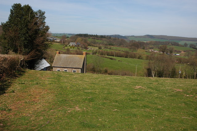
Sawpit Wood is a picturesque forest located in the county of Herefordshire, England. Covering an area of approximately 500 acres, it is known for its diverse range of flora and fauna, making it a popular destination for nature enthusiasts and hikers.
The woodland is predominantly composed of native broadleaf trees such as oak, beech, and ash, creating a rich and varied ecosystem. These trees provide a habitat for numerous species of birds, including woodpeckers, owls, and various songbirds. The forest floor is adorned with a carpet of bluebells and wildflowers during the spring months, adding to its natural beauty.
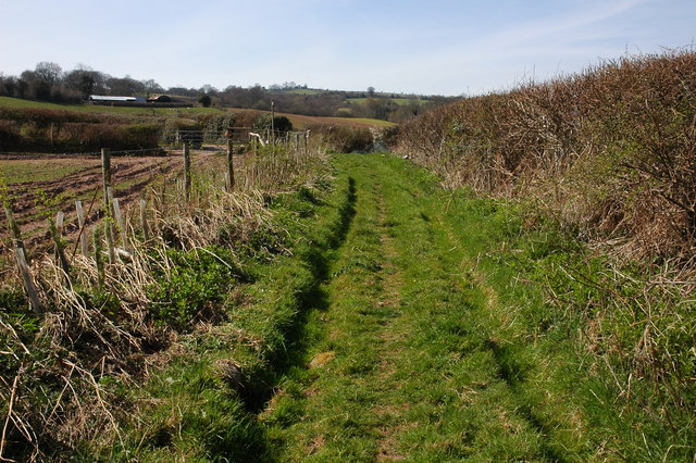
Sawpit Wood offers a network of well-maintained trails, allowing visitors to explore the area on foot or by bicycle. These trails wind through the forest, offering glimpses of enchanting streams, charming meadows, and secluded picnic spots. The wood is also home to a diverse range of wildlife, including deer, badgers, and squirrels, providing nature enthusiasts with ample opportunities for animal sightings.
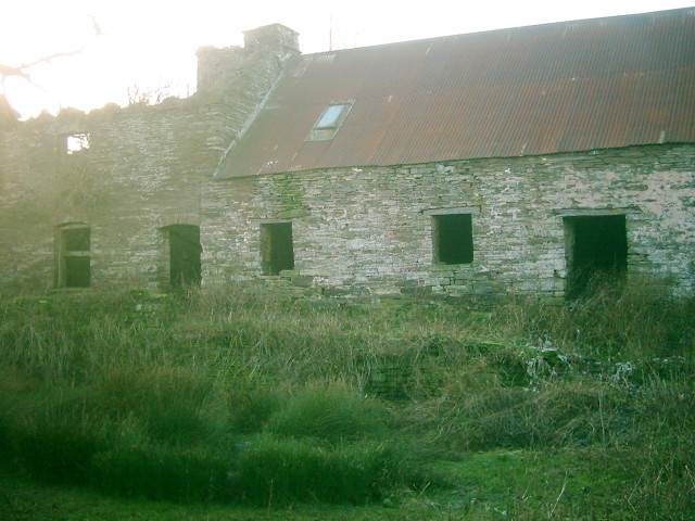
In addition to its natural beauty, Sawpit Wood is also of historical significance. It is believed that the wood was once used as a sawmill, hence the name "Sawpit Wood." Although evidence of the sawmill no longer remains, the surrounding area still retains an air of historical charm.
Overall, Sawpit Wood is a haven for those seeking tranquility and a connection with nature. With its stunning landscapes, abundant wildlife, and rich history, it offers a truly immersive experience for visitors.
If you have any feedback on the listing, please let us know in the comments section below.
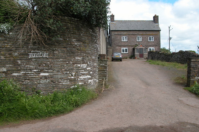
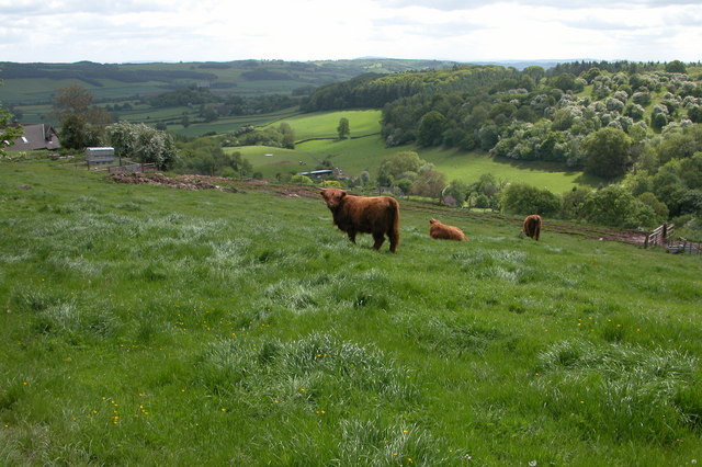
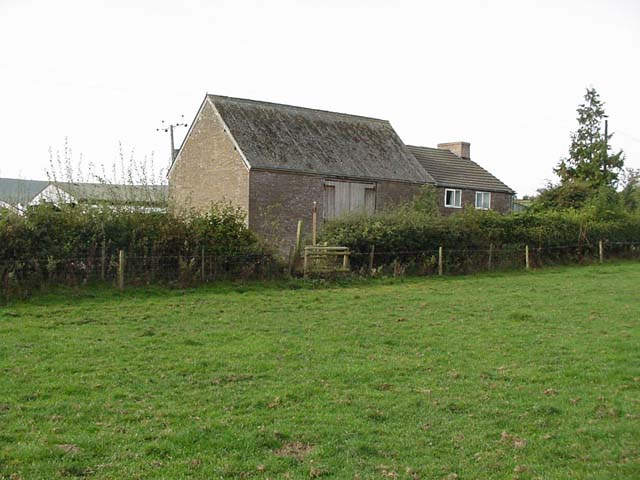
Sawpit Wood Images
Images are sourced within 2km of 52.047006/-3.0189136 or Grid Reference SO3039. Thanks to Geograph Open Source API. All images are credited.


Sawpit Wood is located at Grid Ref: SO3039 (Lat: 52.047006, Lng: -3.0189136)
Unitary Authority: County of Herefordshire
Police Authority: West Mercia
What 3 Words
///deferring.sometimes.scatters. Near Dorstone, Herefordshire
Nearby Locations
Related Wikis

Snodhill Castle
Snodhill Castle is a ruined motte-and-bailey castle, about 1 mi (1.6 km) south of the village of Dorstone in west Herefordshire, England. It is recognized...

Dorstone Castle
Dorstone Castle was in the village of Dorstone in Herefordshire, England, located 6 miles to the east of Hay-on-Wye. == Motte and bailey == This was a...
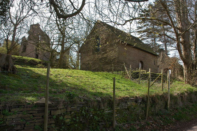
Urishay Castle Chapel
Urishay Castle Chapel is a redundant chapel to the north of Urishay Castle, some 2.5 kilometres (2 mi) west of the village of Peterchurch in Herefordshire...

Urishay Castle
Urishay constitutes the remains of a castle, 16th century chapel and 17th century house located about 2.5 km west of Peterchurch in Herefordshire, England...
Have you been to Sawpit Wood?
Leave your review of Sawpit Wood below (or comments, questions and feedback).