Bank Wood
Wood, Forest in Lancashire South Lakeland
England
Bank Wood

Bank Wood is a dense forest located in the county of Lancashire, England. Spanning an area of approximately 500 acres, it is a significant natural landmark within the region. The forest is situated near the town of Wood, which lends its name to the woodland.
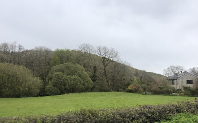
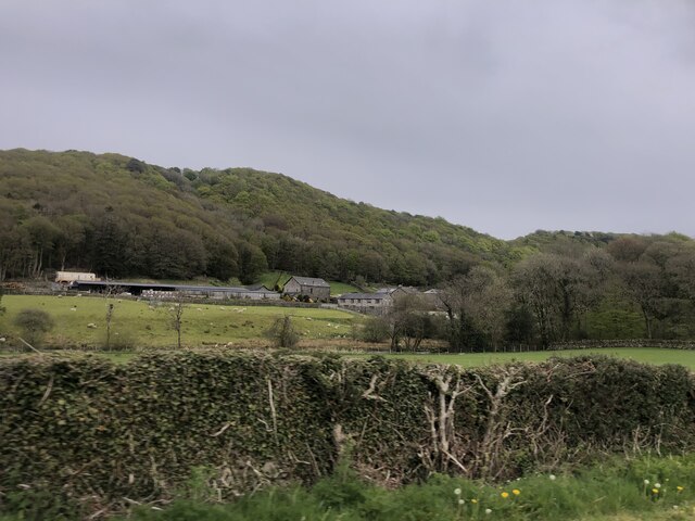
Bank Wood is characterized by its lush greenery and diverse range of flora and fauna. The forest comprises mainly of deciduous trees, such as oak, beech, and birch, which create a stunning canopy overhead. The forest floor is covered with a variety of wildflowers, ferns, and moss, adding to its picturesque beauty. This natural habitat supports a rich biodiversity, making it a haven for wildlife enthusiasts and nature lovers.
The woodland is crisscrossed by numerous walking trails, allowing visitors to explore its enchanting surroundings. These paths are well-maintained and offer stunning views of the forest, making it a popular destination for hikers and nature photographers. Additionally, there are designated picnic areas and benches scattered throughout the woodland, providing visitors with an opportunity to relax and immerse themselves in the tranquility of the surroundings.
Bank Wood is not only a recreational space but also serves as an essential ecological resource. It acts as a natural carbon sink, helping to mitigate the effects of climate change. The forest also plays a crucial role in maintaining the quality of the air and water in the region, making it an invaluable asset for the local ecosystem.
Overall, Bank Wood in Lancashire is a captivating forest that offers a respite from the hustle and bustle of everyday life. With its scenic beauty, abundant wildlife, and ecological significance, it continues to be a cherished destination for both locals and tourists alike.
If you have any feedback on the listing, please let us know in the comments section below.
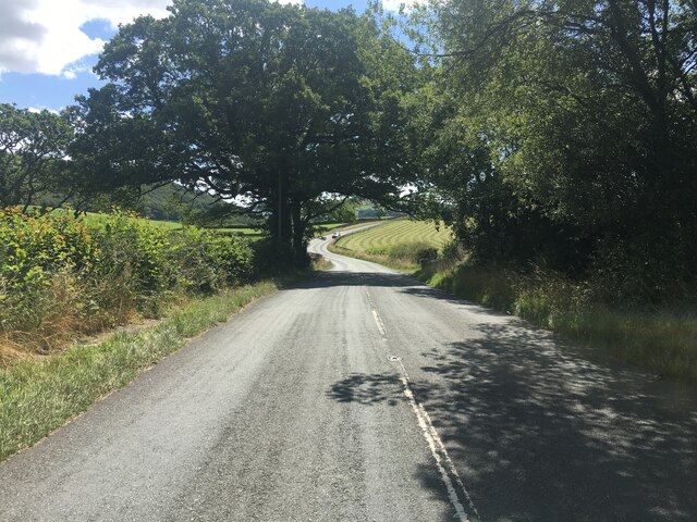
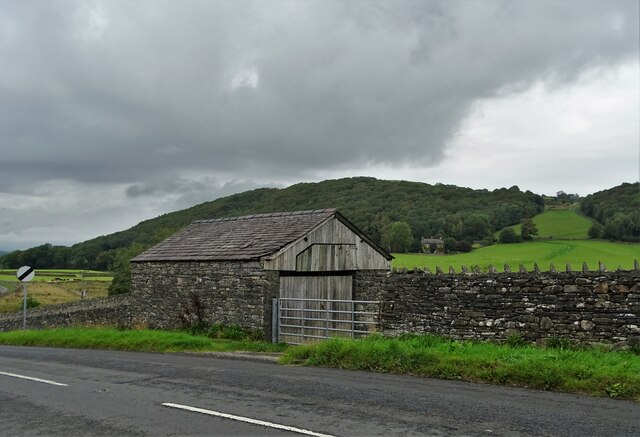
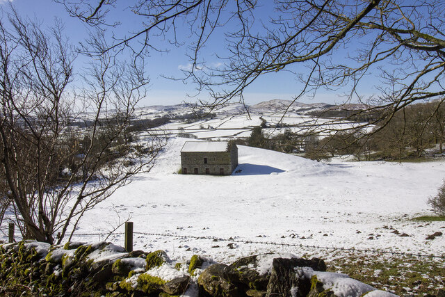
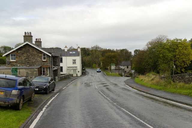
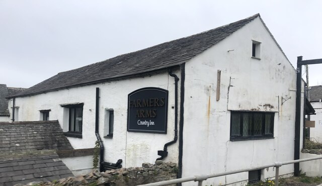
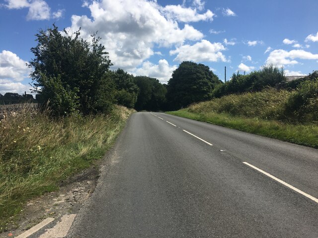
Bank Wood Images
Images are sourced within 2km of 54.272369/-3.0796225 or Grid Reference SD2986. Thanks to Geograph Open Source API. All images are credited.


Bank Wood is located at Grid Ref: SD2986 (Lat: 54.272369, Lng: -3.0796225)
Administrative County: Cumbria
District: South Lakeland
Police Authority: Cumbria
What 3 Words
///yesterday.ourselves.cigar. Near Ulverston, Cumbria
Nearby Locations
Related Wikis

Lowick, Cumbria
Lowick is a village and civil parish in the South Lakeland district of the English county of Cumbria. Prior to 1 April 1974 it was part of Lancashire,...

Furness
Furness ( FUR-niss, fur-NESS) is a peninsula and region of Cumbria, England. Together with the Cartmel Peninsula it forms North Lonsdale, historically...

Bandrake Head
Bandrake Head is a village in Cumbria, England. == External links == Media related to Bandrake Head at Wikimedia Commons

Blawith and Subberthwaite
Blawith and Subberthwaite is a civil parish in the South Lakeland district of Cumbria, England. It is situated in the Lake District National Park, and...

St John the Baptist's Church, Blawith
St John the Baptist's Church is a redundant Anglican church in the settlement of Blawith, Cumbria, England. It is located to the east of the A5084 road...

Colton, Cumbria
Colton is a village and civil parish in the South Lakeland district of Cumbria, England. In the 2001 census the parish had a population of 765, decreasing...

Spark Bridge
Spark Bridge is a former mill village in Cumbria, England, within the Lake District National Park, and within the historic boundaries of Lancashire. The...

Oxen Park
Oxen Park is a hamlet in the English county of Cumbria. Oxen Park lies on the watershed between Rusland and Colton Beck valleys in South Lakeland, and...
Nearby Amenities
Located within 500m of 54.272369,-3.0796225Have you been to Bank Wood?
Leave your review of Bank Wood below (or comments, questions and feedback).