Coed-detton

Wood, Forest in Shropshire

England

Coed-detton

Houses in Church Street, Knighton
Houses in Church Street, Knighton Credit: Andrew Longton

Coed-detton is a small village located in the county of Shropshire, England. Nestled within a picturesque woodland area, it is known for its serene surroundings and lush greenery. The name "Coed-detton" is derived from the Welsh language, with "Coed" meaning wood and "detton" possibly referring to a forest or wooded area.

The village is situated in close proximity to the larger town of Shrewsbury, which is approximately 10 miles away. This allows residents of Coed-detton to enjoy the quiet rural lifestyle while still having easy access to urban amenities. The village is primarily residential, with a small population of around 200 residents.

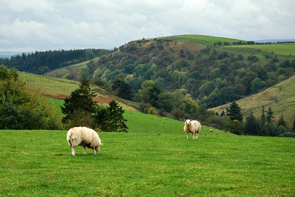
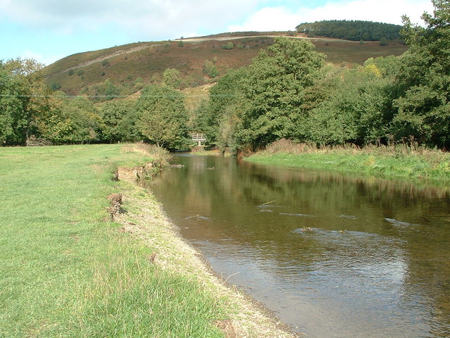
The main attraction of Coed-detton is its beautiful forest, which covers a significant portion of the area. This forest is home to a diverse range of flora and fauna, making it a haven for nature enthusiasts and wildlife lovers. The woodland paths and trails offer opportunities for leisurely walks and exploration.

Coed-detton is also known for its vibrant community spirit. The village hosts various events and activities throughout the year, including festivals, fairs, and sports tournaments. These events bring residents together and foster a strong sense of community pride.

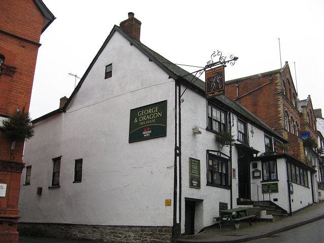
In terms of amenities, Coed-detton has a small village hall and a local pub, providing social gathering spaces for residents. However, for more extensive services such as schools, shops, and healthcare facilities, residents typically rely on neighboring towns and villages.

All in all, Coed-detton is a charming village surrounded by a picturesque forest, offering a tranquil and nature-oriented lifestyle to its residents.

If you have any feedback on the listing, please let us know in the comments section below.
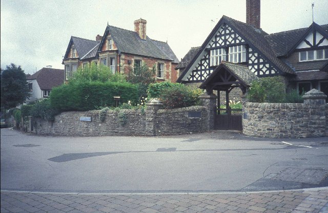
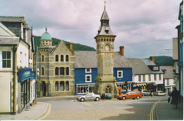
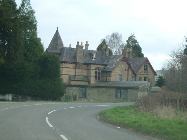
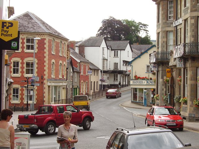
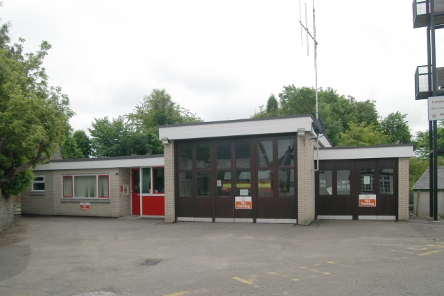
Coed-detton Images

Images are sourced within 2km of 52.356237/-3.0361298 or Grid Reference SO2973. Thanks to Geograph Open Source API. All images are credited.

Houses in Church Street, Knighton
Offa's Dyke path leading down into Knighton One of the most scenic parts of the Offa's Dyke Path.
Offa's Dyke path leading down into Knighton
One of the most scenic parts of the Offa's Dyke Path.
Knighton, Clock Tower. The centre of the small border town. The English-Welsh border is only a few minutes walk away, down the hill behind the clock tower.
Knighton, Clock Tower.
The centre of the small border town. The English-Welsh border is only a few minutes walk away, down the hill behind the clock tower.
Knighton railway station
A house near Knighton known as The Lee
Knighton, (Radnorshire) Of a common place name, this is probably the best known. The town centre.
Knighton, (Radnorshire)
Of a common place name, this is probably the best known. The town centre.
Teme Valley from Nether Skyborry View across to Garth Hill, near Knighton. The river is beyond the first field.
Teme Valley from Nether Skyborry
View across to Garth Hill, near Knighton. The river is beyond the first field.
George and Dragon, Knighton
Stowe Church Viewed from the lych gate, Stowe church is a significant landmark on the hillside north of the Teme valley, a couple of miles below Knighton
Stowe Church
Viewed from the lych gate, Stowe church is a significant landmark on the hillside north of the Teme valley, a couple of miles below Knighton
Field and Forest, Stow Hill View from Stow Hill, with a double helping of Caer Caradoc... The Chapel Lawn hill fort is middle distance (left); the better-known Church Stretton hill is in the far distance (right), some 16 miles to the north-east
Field and Forest, Stow Hill
View from Stow Hill, with a double helping of Caer Caradoc... The Chapel Lawn hill fort is middle distance (left); the better-known Church Stretton hill is in the far distance (right), some 16 miles to the north-east
Sheep in the fields near Five Turnings Sheep graze in the fields near Five Turnings; Panpunton Hill forms the backdrop
Sheep in the fields near Five Turnings
Sheep graze in the fields near Five Turnings; Panpunton Hill forms the backdrop
Clock Tower, Knighton, Powys
Offa's Dyke path through gorse, Panpunton Hill, Knighton
Knighton Fire Station Knighton Fire Station, Plough Road, Knighton is part of the Mid & West Wales Fire & Rescue Service
Knighton Fire Station
Knighton Fire Station, Plough Road, Knighton is part of the Mid & West Wales Fire & Rescue Service
Knighton station Back in the days of good old British Rail, a 2-car diesel multiple unit waits with a departure to Shrewsbury.  The long Central Wales line from Llanelli to Shrewsbury is very scenic.
Knighton station
Back in the days of good old British Rail, a 2-car diesel multiple unit waits with a departure to Shrewsbury. The long Central Wales line from Llanelli to Shrewsbury is very scenic.
River Teme & Panpunton Hill at Knighton Walkers heading north on the Offa's Dyke Path just outside Knighton can get a preview of their next climb from this spot beside the River Teme.  For those coming the other way, you're just minutes away from the facilities of Knighton and the Offa's Dyke Centre!
River Teme & Panpunton Hill at Knighton
Walkers heading north on the Offa's Dyke Path just outside Knighton can get a preview of their next climb from this spot beside the River Teme. For those coming the other way, you're just minutes away from the facilities of Knighton and the Offa's Dyke Centre!
Footpath Near Upper Lurkenhope Farm
Knighton Branch Library
Show me another place!

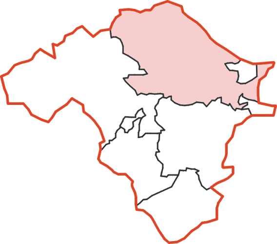
Coed-detton is located at Grid Ref: SO2973 (Lat: 52.356237, Lng: -3.0361298)

Unitary Authority: Shropshire

Police Authority: West Mercia

What 3 Words

///exit.disgraced.bared. Near Knighton, Powys

Nearby Locations

Coed-detton

Related Wikis

Knighton railway station

Knighton railway station serves the border market town of Knighton in Powys, Wales, although the station itself is located in Shropshire, England (the...
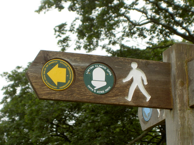
Offa's Dyke Path

Offa's Dyke Path (Welsh: Llwybr Clawdd Offa) is a long-distance footpath loosely following the Wales–England border. Officially opened on 10 July 1971...

Knighton Rural District

Knighton was, from 1894 to 1974, a rural district in the administrative county of Radnorshire, Wales. The district was formed by the Local Government Act...
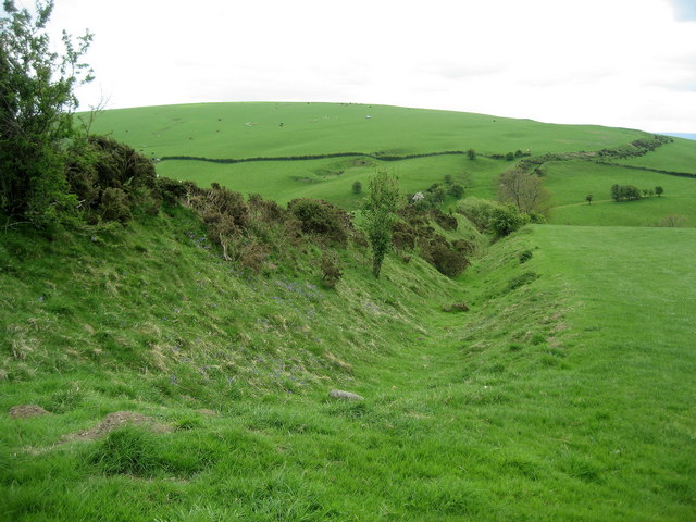
Offa's Dyke

Offa's Dyke (Welsh: Clawdd Offa) is a large linear earthwork that roughly follows the border between England and Wales. The structure is named after Offa...

Stowe, Shropshire

Stowe or Stow is a small village and civil parish in south Shropshire, England. The parish has a border with Wales and the Welsh town of Knighton is less...

Knighton, Powys

Knighton (Welsh: Tref-y-clawdd [trɛvəˈklauð] or Trefyclo) is a market town and community on the River Teme, straddling the border between Powys, Wales...

Knighton Community Centre

Knighton Community Centre is a venue situated in the Powys border town of Knighton. Following an extensive refurbishment in 2017, it has become a hub...

Knighton Hospital

Knighton Hospital (Welsh: Ysbyty Trefyclo) is a health facility in Ffrydd Road, Knighton, Powys, Wales. It is managed by the Powys Teaching Health Board...

Nearby Amenities

Located within 500m of 52.356237,-3.0361298
Coed-Detton
Natural: peak
Lat/Long: 52.3560216/-3.0292589
The data included in this document is from www.openstreetmap.org. The data is made available under ODbL.

Have you been to Coed-detton?

Leave your review of Coed-detton below (or comments, questions and feedback).