Bottom Plantation
Wood, Forest in Lancashire South Lakeland
England
Bottom Plantation

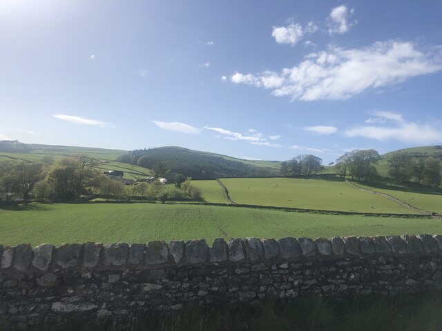
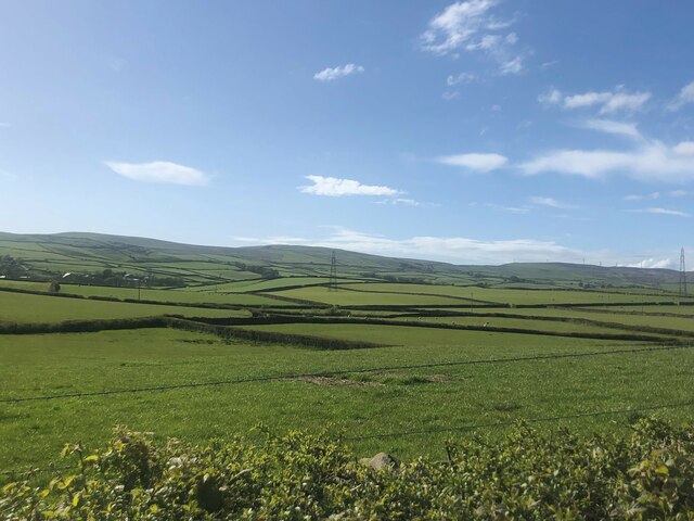
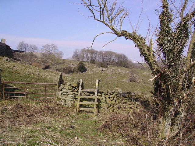
Bottom Plantation is a picturesque woodland area located in Lancashire, England. Situated within the larger forested region, it is characterized by its abundant greenery and tranquil atmosphere. The plantation covers an estimated area of approximately 100 acres, making it a significant natural attraction in the region.
The woodland is primarily composed of a variety of deciduous and coniferous trees, including oak, beech, ash, and pine. These trees create a dense canopy, providing shade and shelter to the diverse flora and fauna that inhabit the area. The forest floor is carpeted with a rich layer of moss and ferns, adding to the enchanting ambiance.
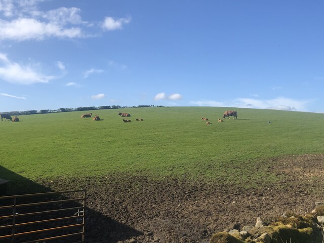
Bottom Plantation is renowned for its well-maintained walking trails, allowing visitors to explore the woodland at their leisure. The paths wind through the trees, offering glimpses of wildlife such as deer, rabbits, and various species of birds. Nature enthusiasts can also spot a variety of wildflowers, including bluebells and primroses, during the spring season.
In addition to its natural beauty, Bottom Plantation boasts several amenities for visitors. The plantation features picnic areas, where families and friends can enjoy a leisurely lunch amidst the peaceful surroundings. There is also a small visitor center that provides information about the local flora and fauna, as well as the history of the plantation.
Overall, Bottom Plantation offers a delightful escape from the hustle and bustle of city life. Its serene ambiance, scenic trails, and abundant wildlife make it a popular destination for nature lovers and those seeking a peaceful retreat in Lancashire.
If you have any feedback on the listing, please let us know in the comments section below.
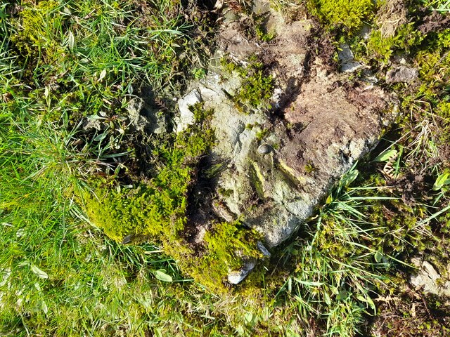
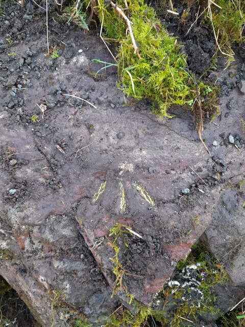
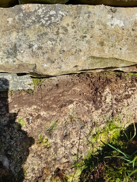
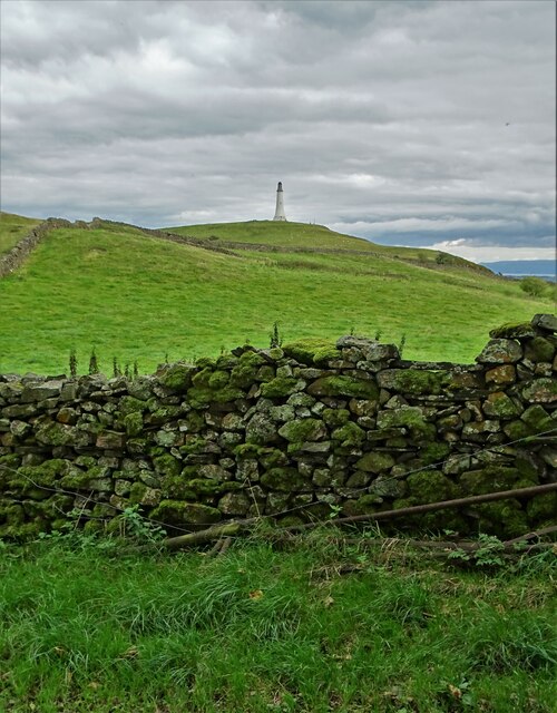
Bottom Plantation Images
Images are sourced within 2km of 54.215303/-3.0859388 or Grid Reference SD2980. Thanks to Geograph Open Source API. All images are credited.


Bottom Plantation is located at Grid Ref: SD2980 (Lat: 54.215303, Lng: -3.0859388)
Administrative County: Cumbria
District: South Lakeland
Police Authority: Cumbria
What 3 Words
///sedated.reconnect.typhoon. Near Ulverston, Cumbria
Nearby Locations
Related Wikis
Mansriggs
Mansriggs is a settlement and civil parish in the South Lakeland district, in the county of Cumbria, England. Because of its small population, in the 2011...

Broughton Beck
Broughton Beck is a village in the South Lakeland district of Cumbria, England. The village has two sections; one part is on the B5281 Ulverston to Gawthwaite...

Hoad Monument
Hoad Monument (officially called the Sir John Barrow Monument) is a 100-foot (30 m) tower at the top of the 436-foot (133 m) Hoad Hill, near Ulverston...
Arrad Foot
Arrad Foot is a hamlet in South Lakeland, Cumbria, England. The hamlet is situated on a minor road just off the A590 road, with the village of Greenodd...

St Mary's Church, Ulverston
Ulverston Parish Church is in Church Walk, Ulverston, Cumbria, England. It is an active Anglican parish church in the deanery of Furness, the archdeaconry...

Furness Fells
The Furness Fells are a multitude of hills and mountains in the Furness region of Cumbria, England. Historically part of Lancashire, the Furness Fells...

St John the Evangelist's Church, Osmotherley
St John the Evangelist's Church is in the village of Osmotherley, Cumbria, England. It is an active Anglican parish church in the deanery of Furness,...

Victoria Road drill hall, Ulverston
The Victoria Road drill hall is a former military installation in Ulverston, Cumbria, England. == History == The building was designed as the headquarters...
Nearby Amenities
Located within 500m of 54.215303,-3.0859388Have you been to Bottom Plantation?
Leave your review of Bottom Plantation below (or comments, questions and feedback).