Bleathwaite Old Wood
Wood, Forest in Lancashire South Lakeland
England
Bleathwaite Old Wood

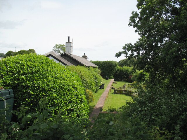
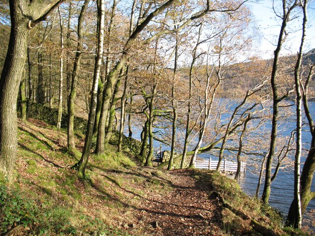
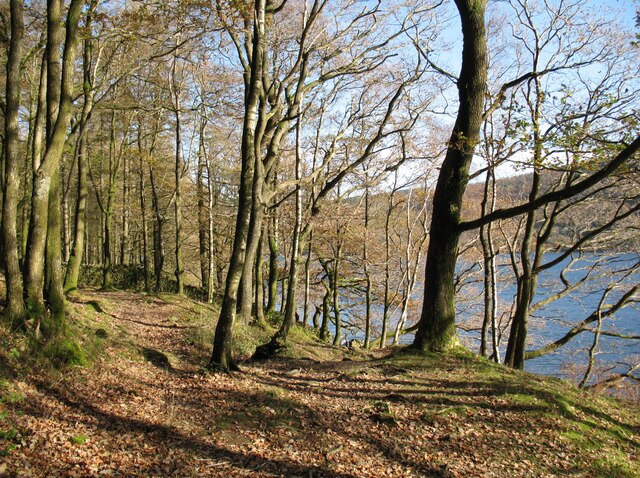
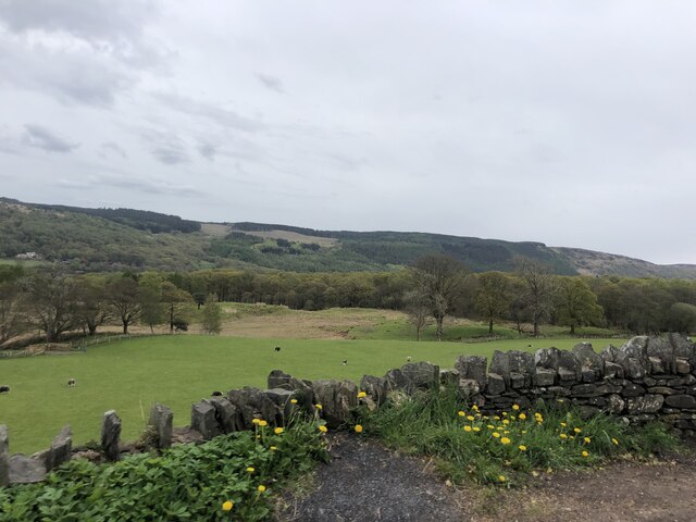
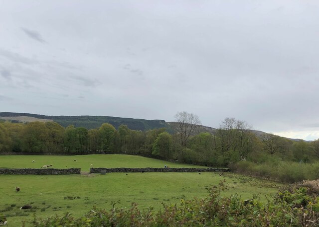
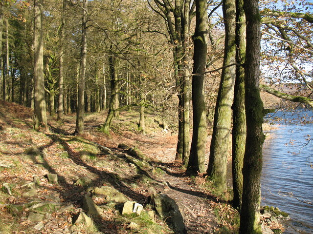
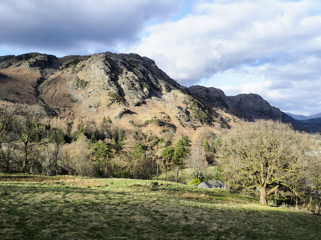
Bleathwaite Old Wood is a picturesque woodland located in Lancashire, England. Covering an area of approximately 50 acres, it is a designated Site of Special Scientific Interest (SSSI) due to its significant ecological value. The wood is situated in a rural setting, surrounded by rolling hills and meadows, making it an idyllic retreat for nature enthusiasts and hikers.
The woodland is predominantly composed of ancient oak trees, some of which are estimated to be over 500 years old. These majestic trees provide a dense canopy that allows limited sunlight to penetrate the forest floor, creating a unique microclimate and supporting a diverse range of flora and fauna. Bluebells, wood anemones, and wild garlic flourish in spring, carpeting the forest floor with vibrant colors.
Bleathwaite Old Wood is also home to a variety of bird species, including woodpeckers, owls, and various songbirds. The tranquil atmosphere and abundance of food sources attract a wide array of birdlife throughout the year, making it a popular spot for birdwatchers.
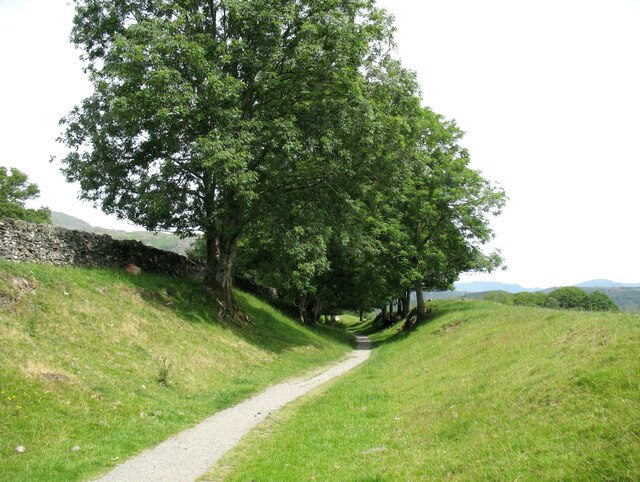
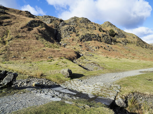
The wood is crisscrossed by a network of footpaths and trails, allowing visitors to explore its natural beauty at their own pace. It is advisable to wear appropriate footwear, as the paths can be uneven and muddy in wet weather.
Managed by the local conservation authority, Bleathwaite Old Wood offers an opportunity for visitors to immerse themselves in a truly ancient and enchanting woodland, providing a haven for wildlife and a place of tranquility for all who visit.
If you have any feedback on the listing, please let us know in the comments section below.
Bleathwaite Old Wood Images
Images are sourced within 2km of 54.354423/-3.0930366 or Grid Reference SD2995. Thanks to Geograph Open Source API. All images are credited.

Bleathwaite Old Wood is located at Grid Ref: SD2995 (Lat: 54.354423, Lng: -3.0930366)
Administrative County: Cumbria
District: South Lakeland
Police Authority: Cumbria
What 3 Words
///modifies.visit.shocking. Near Ambleside, Cumbria
Nearby Locations
Related Wikis

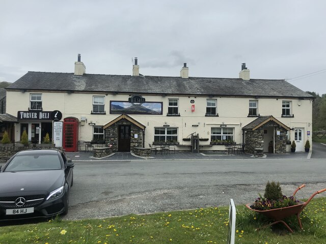
Bowmanstead
Bowmanstead is a village in Cumbria, England. It is situated 1 mile to the south of Coniston and contains a Catholic church and a pub - The Ship Inn, it...

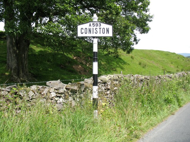
Coniston Hall
Coniston Hall is a former house on the west bank of Coniston Water in the English Lake District. It is recorded in the National Heritage List for England...

Cat Bank
Cat Bank is a hamlet in Cumbria, England. == References ==

Coniston railway station (England)
Coniston railway station was the northern terminus of the Coniston branch line in the village of Coniston, Lancashire, England (now in Cumbria). ��2�...

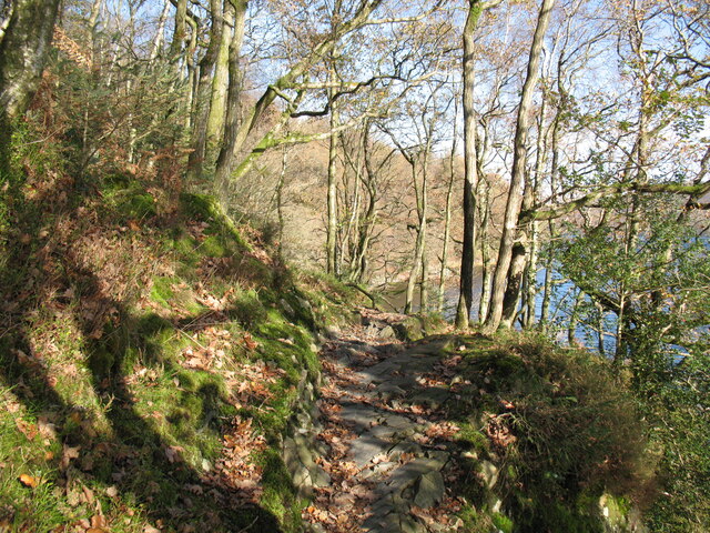
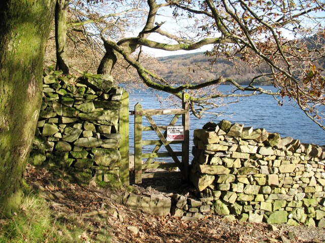
Coniston Water
Coniston Water is a lake in the Lake District in North West England. It is the third largest by volume, after Windermere and Ullswater, and the fifth-largest...

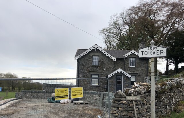
Torver railway station
Torver railway station served the village of Torver, in Lancashire, England (now in Cumbria). It was on the branch line to Coniston. == History == Authorised...

John Ruskin School
John Ruskin School (JRS) is an 11–16 school on Lake Road in Coniston, Cumbria. The school is part of the Rural Academy, a group of nine small schools in...

St Luke's Church, Torver
St Luke's Church is in the village of Torver, Cumbria, England. It is an active Anglican parish church in the deanery of Furness, the archdeaconry of...
Nearby Amenities
Located within 500m of 54.354423,-3.0930366Have you been to Bleathwaite Old Wood?
Leave your review of Bleathwaite Old Wood below (or comments, questions and feedback).