Trill Orchard

Wood, Forest in Devon East Devon

England

Trill Orchard

Musbury, St. Michael's Church: Western aspect The tower was built around 1420.
Musbury, St. Michael's Church: Western aspect Credit: Michael Garlick

Trill Orchard is a charming woodland area located in Devon, England. Situated in the heart of the county, this idyllic forest is a haven for nature lovers and outdoor enthusiasts alike. Covering an expansive area of land, the orchard is known for its diverse range of trees, including oak, beech, and birch.

The woodland is carefully managed to create a harmonious environment for both flora and fauna. It is home to an array of wildlife, such as deer, foxes, and various bird species, making it an excellent spot for birdwatching and wildlife observation. The serene atmosphere and peaceful ambiance of Trill Orchard make it a perfect retreat for those seeking tranquility and relaxation.

Visitors to the orchard have the opportunity to explore its numerous walking trails and paths, which wind through the dense forest. These trails offer breathtaking views of the surrounding countryside, and during the spring and summer months, they are adorned with vibrant wildflowers.

Trill Orchard also boasts a selection of picnic areas and seating spots, allowing visitors to take a break and enjoy a meal amidst the natural beauty of the woodland. Furthermore, the orchard offers educational programs and workshops, providing a valuable learning experience for both children and adults interested in ecology and conservation.

Overall, Trill Orchard in Devon is a magical place where one can immerse themselves in the beauty of nature. Whether it's a leisurely walk, wildlife spotting, or simply unwinding amidst the tranquility of the forest, this enchanting woodland is sure to captivate visitors of all ages.

If you have any feedback on the listing, please let us know in the comments section below.

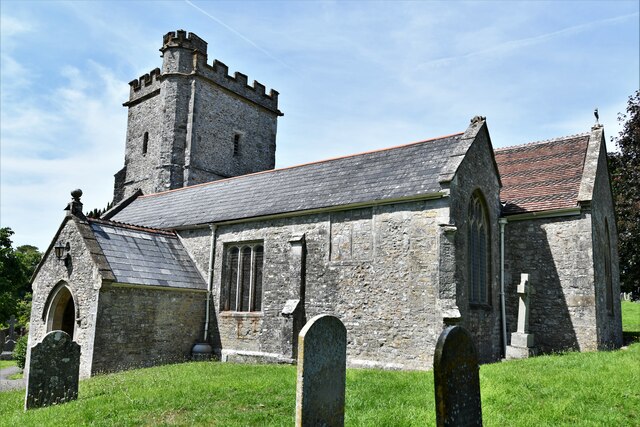
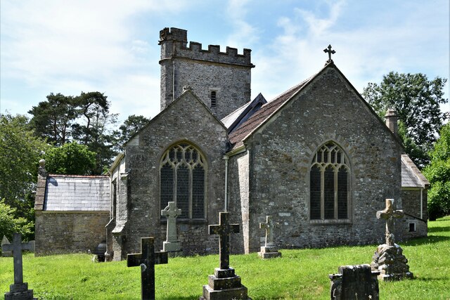
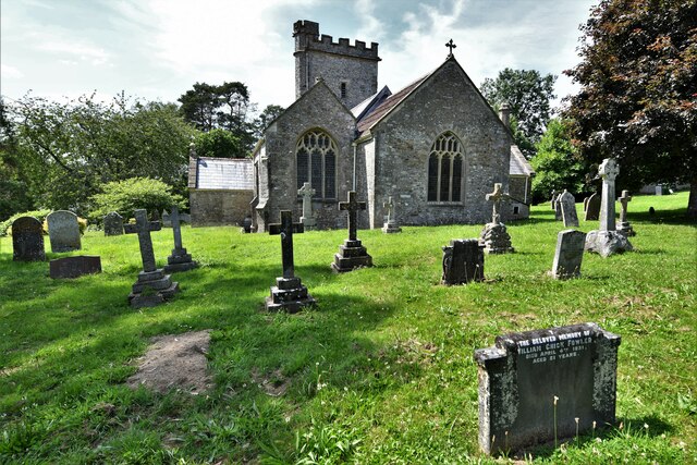
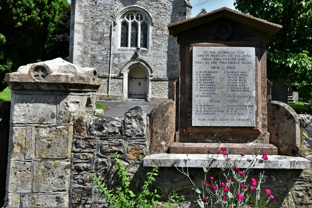
Trill Orchard Images

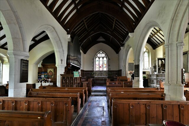
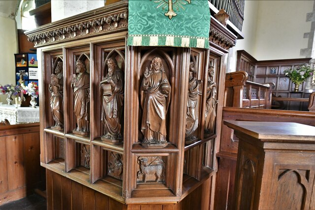
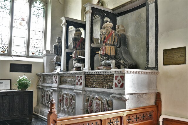
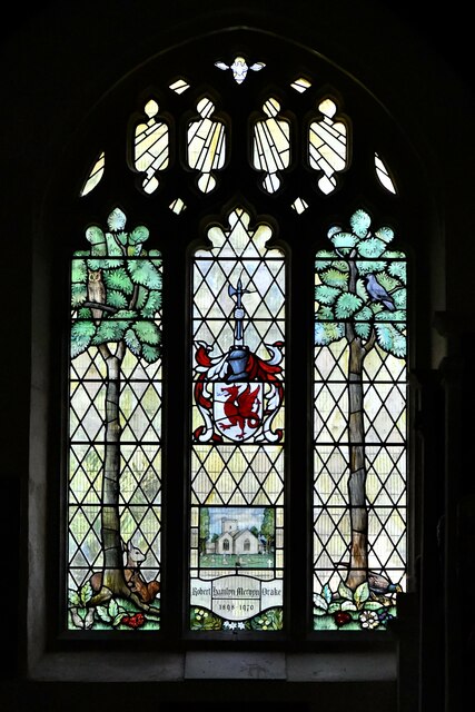
Images are sourced within 2km of 50.755593/-3.0148627 or Grid Reference SY2895. Thanks to Geograph Open Source API. All images are credited.

Musbury, St. Michael's Church: Western aspect The tower was built around 1420.
Musbury, St. Michael's Church: Western aspect
The tower was built around 1420.
Musbury, St. Michael's Church: South eastern aspect
Musbury, St. Michael's Church: Eastern aspect
Musbury, St. Michael's Church: War memorial
Musbury, St. Michael's Church: The nave
Musbury, St. Michael's Church: The pulpit
Musbury, St. Michael's Church: The Drake family monument, begun 1611, enlarged 1646 1
Musbury, St. Michael's Church: The Drake family monument, begun 1611, enlarged 1646 2
Musbury, St. Michael's Church: The Drake family monument, begun 1611, enlarged 1646 3
Musbury, St. Michael's Church: The Drake family monument, begun 1611, enlarged 1646 4
Musbury, St. Michael's Church: The Drake family monument, begun 1611, enlarged 1646 5
Musbury, St. Michael's Church: The Drake family monument, begun 1611, enlarged 1646 6
Musbury, St. Michael's Church: The Drake family monument, begun 1611, enlarged 1646 7
Musbury, St. Michael's Church: Robert Drake memorial window
Musbury, St. Michael's Church: Faded Royal Coat of Arms
Musbury, St. Michael's Church: The font
Show me another place!

Trill Orchard is located at Grid Ref: SY2895 (Lat: 50.755593, Lng: -3.0148627)

Administrative County: Devon

District: East Devon

Police Authority: Devon and Cornwall

What 3 Words

///grazed.heave.finishers. Near Axminster, Devon

Related Wikis

Abbey Gate, Devon

Abbey Gate is a hamlet just south of Axminster in Devon, England. Abbey Gate is at the junction between the A35 and A358 main roads, just west of Wyke...

Musbury

Musbury is a village and civil parish in the East Devon district of Devon, England. It lies approximately 2 miles (3 km) away from Colyton and 2+1⁄2 miles...

Musbury Castle

Musbury Castle is an Iron Age Hill fort situated above the Village of Musbury in Devon. The fort occupies a commanding hill top approx 175 Metres above...

River Yarty

The River Yarty is a river in east Devon, England, near the boundary with Somerset and Dorset. == Course == The river is about 26 kilometres (16 mi) long...

Nearby Amenities

Located within 500m of 50.755593,-3.0148627
Barrier: stile
Lat/Long: 50.7519833/-3.0130945
Power: pole
Source: bing
Lat/Long: 50.7544922/-3.008599
Power: pole
Source: bing
Lat/Long: 50.7546221/-3.0106107
Power: pole
Source: bing
Lat/Long: 50.7546925/-3.0116581
Power: pole
Source: bing
Lat/Long: 50.7550022/-3.0142692
Power: pole
Source: bing
Lat/Long: 50.7539518/-3.0158584
Power: pole
Source: bing
Lat/Long: 50.7545381/-3.0146541
Power: pole
Source: bing
Lat/Long: 50.754617/-3.0131078
Power: pole
Source: bing
Lat/Long: 50.7520529/-3.0111632
Power: pole
Source: bing
Lat/Long: 50.7531101/-3.0108735
Power: pole
Source: bing
Lat/Long: 50.757494/-3.0090308
Power: pole
Source: bing
Lat/Long: 50.7536387/-3.0107555
Poles: bipole
Power: pole
Source: bing
Lat/Long: 50.75713/-3.0097792
Power: pole
Source: bing
Transformer: distribution
Lat/Long: 50.7540324/-3.0212
Power: pole
Source: bing
Lat/Long: 50.7531644/-3.019875
Power: pole
Source: bing
Lat/Long: 50.7532662/-3.018491
Power: pole
Source: bing
Lat/Long: 50.7533621/-3.0170707
Power: pole
Source: bing
Transformer: distribution
Lat/Long: 50.7555036/-3.0138722
Power: pole
Source: bing
Lat/Long: 50.7545873/-3.0100715
Power: pole
Source: bing
Lat/Long: 50.7547697/-3.010447
Power: pole
Source: bing
Lat/Long: 50.7558642/-3.0101359
Pudleylake
Place: locality
Lat/Long: 50.7583586/-3.0119052
The data included in this document is from www.openstreetmap.org. The data is made available under ODbL.

Have you been to Trill Orchard?

Leave your review of Trill Orchard below (or comments, questions and feedback).