Brynspeard Wood
Wood, Forest in Herefordshire
England
Brynspeard Wood
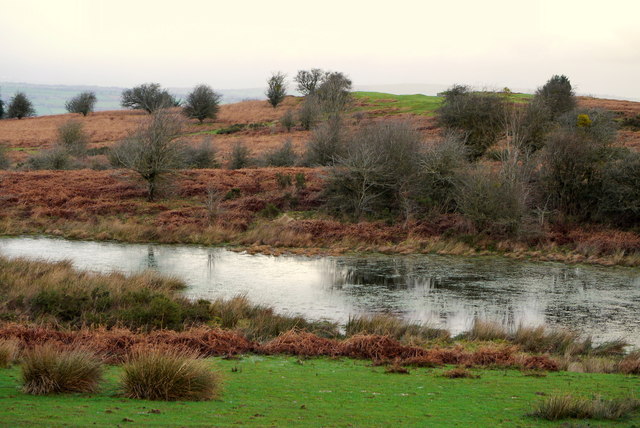
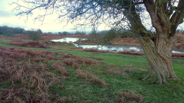
Brynspeard Wood is a picturesque forest located in Herefordshire, England. This natural gem covers an area of approximately 100 hectares and is known for its diverse range of flora and fauna. The wood is situated on the western slopes of the beautiful Golden Valley, offering visitors breathtaking panoramic views of the surrounding countryside.
The woodland is predominantly made up of broad-leaved trees, including oak, ash, beech, and birch, creating a rich and vibrant canopy. The forest floor is adorned with a carpet of bluebells and wildflowers during the spring months, adding to its enchanting appeal.
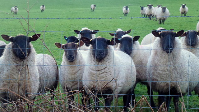
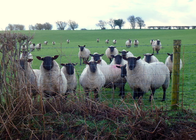
Brynspeard Wood is a haven for wildlife enthusiasts, as it provides a habitat for a wide variety of animals. Visitors may spot red deer, badgers, foxes, and a multitude of bird species, including woodpeckers, owls, and nuthatches. The wood is also home to several rare butterfly species, adding to its ecological significance.
Surrounded by rolling hills and meandering streams, the wood offers numerous walking trails and paths for visitors to explore. Nature lovers can immerse themselves in the tranquil surroundings, enjoying the soothing sounds of birdsong and the rustling of leaves.
Managed by the Forestry Commission, Brynspeard Wood is a designated Site of Special Scientific Interest (SSSI) due to its ecological importance. The commission ensures the preservation and conservation of the woodland, allowing future generations to appreciate its beauty and biodiversity.
Overall, Brynspeard Wood is a hidden treasure in Herefordshire, offering a peaceful retreat for nature enthusiasts, hikers, and those seeking solace in the great outdoors.
If you have any feedback on the listing, please let us know in the comments section below.
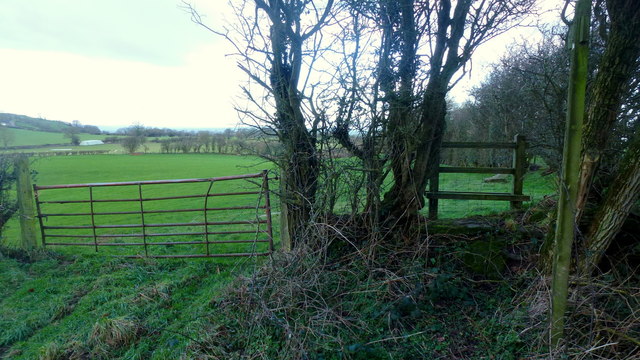
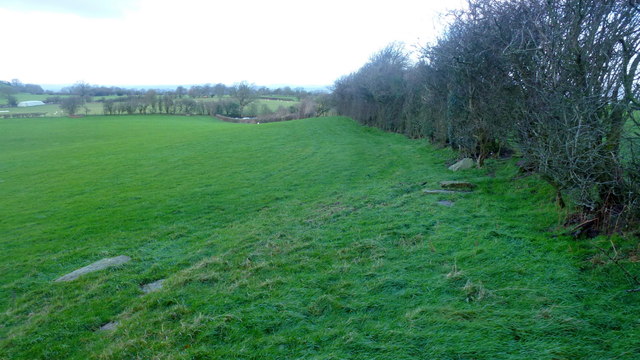
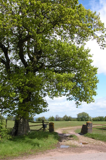
Brynspeard Wood Images
Images are sourced within 2km of 52.070153/-3.0451181 or Grid Reference SO2841. Thanks to Geograph Open Source API. All images are credited.
Brynspeard Wood is located at Grid Ref: SO2841 (Lat: 52.070153, Lng: -3.0451181)
Unitary Authority: County of Herefordshire
Police Authority: West Mercia
What 3 Words
///campfires.vocals.regarding. Near Dorstone, Herefordshire
Nearby Locations
Related Wikis

Westbrook railway station (England)
Westbrook railway station was a station to the northwest of Dorstone, Herefordshire, England. The station was opened in 1881, closed to passengers in 1941...

Dorstone Castle
Dorstone Castle was in the village of Dorstone in Herefordshire, England, located 6 miles to the east of Hay-on-Wye. == Motte and bailey == This was a...

Dorstone
Dorstone is a village within the Golden Valley, Herefordshire, England. There is a church and public house with restaurant. The Golden Valley area offers...
Greens Siding railway station
Greens Siding railway station was a station to the east of Clifford, Herefordshire, England. The station was opened in 1903, closed to passengers in 1941...
Nearby Amenities
Located within 500m of 52.070153,-3.0451181Have you been to Brynspeard Wood?
Leave your review of Brynspeard Wood below (or comments, questions and feedback).