Bletherstile Wood

Wood, Forest in Lancashire South Lakeland

England

Bletherstile Wood

Cattle grazing, Low Flan Farm
Cattle grazing, Low Flan Farm Credit: Eirian Evans

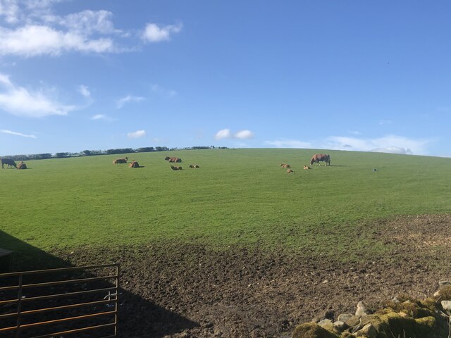
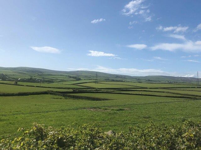
Bletherstile Wood is a charming woodland located in Lancashire, England. Spanning an area of approximately 50 hectares, the wood is nestled within the picturesque countryside of the Ribble Valley. It is a popular destination for nature enthusiasts, walkers, and birdwatchers alike.

The wood is primarily composed of ancient and semi-natural broadleaf trees, including oak, birch, and beech. These majestic trees create a dense canopy, allowing only dappled sunlight to filter through to the forest floor. This creates a unique and enchanting atmosphere that draws visitors in.

The woodland boasts an array of flora and fauna, making it a haven for biodiversity. Wildflowers such as bluebells, primroses, and wood anemones carpet the forest floor in spring, creating a vibrant display of colors. The wood is also home to a variety of bird species, including woodpeckers, tawny owls, and nuthatches, which can be spotted and heard throughout the year.

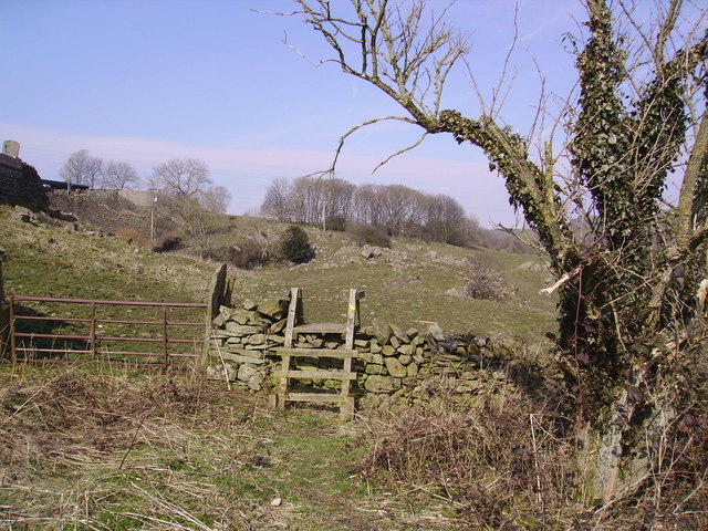
Several well-maintained footpaths wind their way through the wood, providing visitors with an opportunity to explore the area. These paths are suitable for all ages and abilities, making Bletherstile Wood a family-friendly destination. Along the trails, visitors may also come across small streams and bridges, adding to the natural beauty of the wood.

Bletherstile Wood offers a tranquil retreat from the hustle and bustle of daily life, allowing visitors to immerse themselves in the beauty of nature. Whether it is for a leisurely stroll, birdwatching, or simply enjoying the serene surroundings, Bletherstile Wood is a must-visit destination for nature lovers in Lancashire.

If you have any feedback on the listing, please let us know in the comments section below.

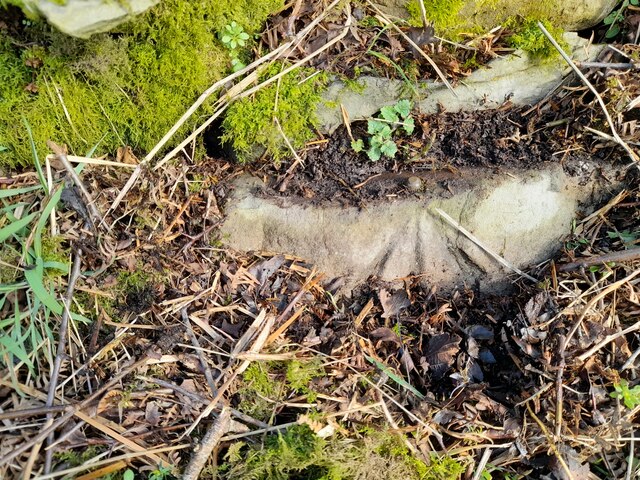
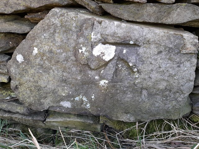
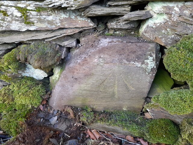
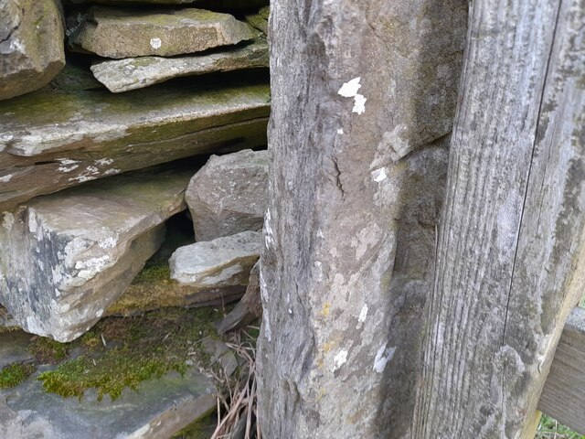
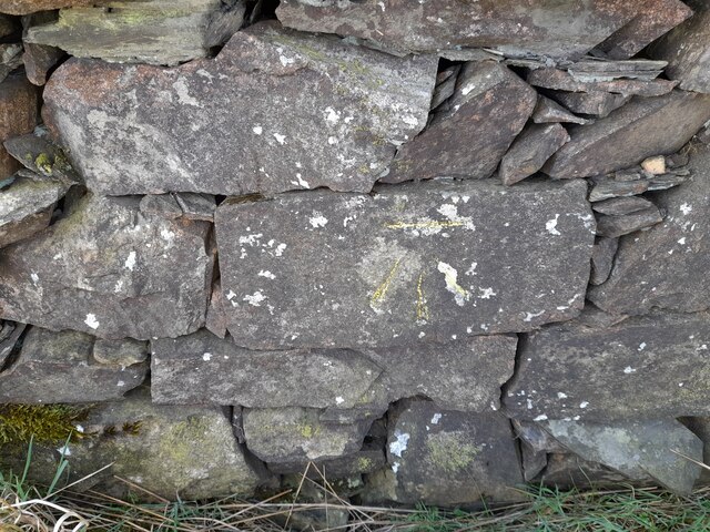
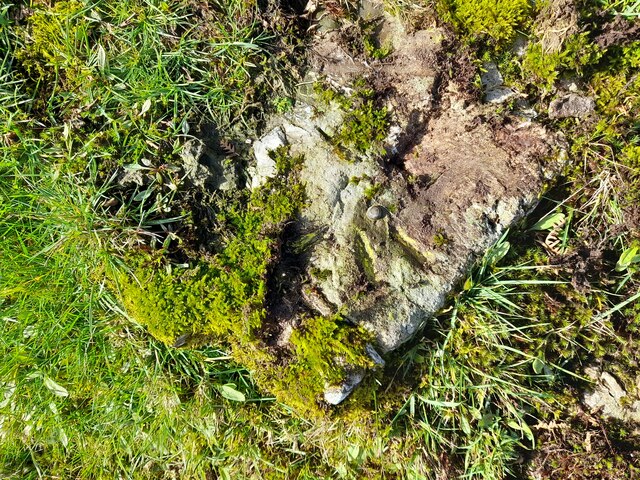
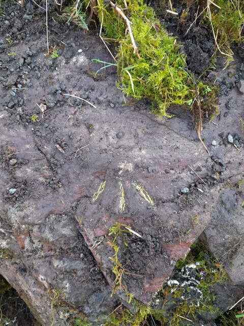
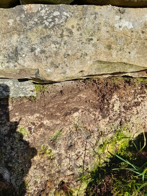
Bletherstile Wood Images

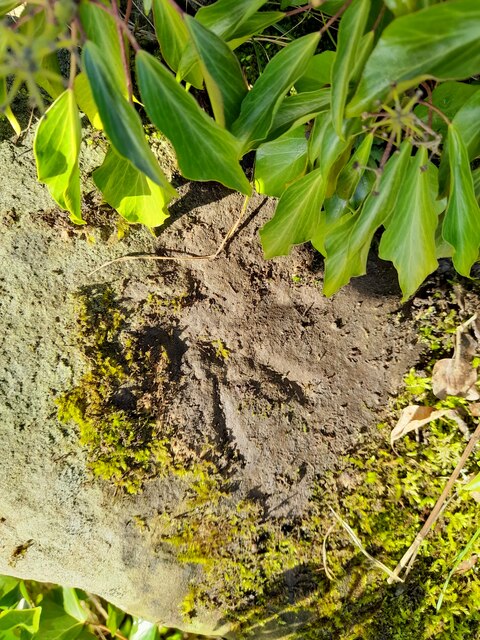
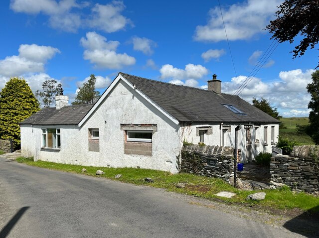
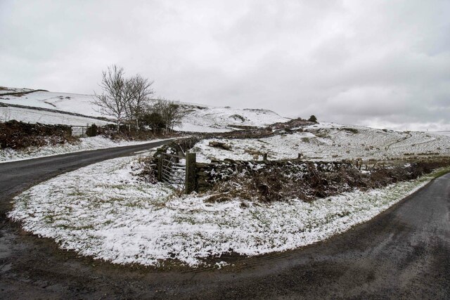
Images are sourced within 2km of 54.220945/-3.103004 or Grid Reference SD2881. Thanks to Geograph Open Source API. All images are credited.

Cattle grazing, Low Flan Farm
Cumbrian landscape A patchwork of grassy fields and low hills in the distance
Cumbrian landscape
A patchwork of grassy fields and low hills in the distance
Mansriggs Farm
Mansriggs Farm
Ordnance Survey Cut Mark This OS cut mark can be found on School Cottage, Netherhouses Road. It marks a point 118.625m above mean sea level.
Ordnance Survey Cut Mark
This OS cut mark can be found on School Cottage, Netherhouses Road. It marks a point 118.625m above mean sea level.
Ordnance Survey Rivet This OS rivet can be found on the wall NE side of Netherhouses Road. It marks a point 123.328m above mean sea level.
Ordnance Survey Rivet
This OS rivet can be found on the wall NE side of Netherhouses Road. It marks a point 123.328m above mean sea level.
Ordnance Survey Cut Mark This OS cut mark can be found on the wall SE side of the road. It marks a point 229.277m above mean sea level.
Ordnance Survey Cut Mark
This OS cut mark can be found on the wall SE side of the road. It marks a point 229.277m above mean sea level.
Ordnance Survey Cut Mark This OS cut mark can be found on the wall SE side of the road. It marks a point 241.234m above mean sea level.
Ordnance Survey Cut Mark
This OS cut mark can be found on the wall SE side of the road. It marks a point 241.234m above mean sea level.
Ordnance Survey Cut Mark This OS cut mark can be found on the gatepost NE side of the road. It marks a point 216.951m above mean sea level.
Ordnance Survey Cut Mark
This OS cut mark can be found on the gatepost NE side of the road. It marks a point 216.951m above mean sea level.
Ordnance Survey Cut Mark This OS cut mark can be found on the wall SW side of the road. It marks a point 202.604m above mean sea level.
Ordnance Survey Cut Mark
This OS cut mark can be found on the wall SW side of the road. It marks a point 202.604m above mean sea level.
Ordnance Survey Rivet This OS rivet can be found on a rock in the field, east side of the road. It marks a point 173.937m above mean sea level.
Ordnance Survey Rivet
This OS rivet can be found on a rock in the field, east side of the road. It marks a point 173.937m above mean sea level.
Ordnance Survey Rivet This OS rivet can be found on the rock south side of the road. It marks a point 164.080m above mean sea level.
Ordnance Survey Rivet
This OS rivet can be found on the rock south side of the road. It marks a point 164.080m above mean sea level.
Ordnance Survey Rivet This OS rivet can be found on the wall north side of the road. It marks a point 84.302m above mean sea level.
Ordnance Survey Rivet
This OS rivet can be found on the wall north side of the road. It marks a point 84.302m above mean sea level.
Ordnance Survey Rivet This damaged OS rivet can be found on the NE parapet of the bridge. It marks a point 112.682m above mean sea level.
Ordnance Survey Rivet
This damaged OS rivet can be found on the NE parapet of the bridge. It marks a point 112.682m above mean sea level.
Benchmark, Osmotherley, School Cottage Detail of an Ordnance Survey cut benchmark on the west angle, north west face of School Cottage beside The Cumbria Way. The datum line is concealed by render. The benchmark marks a height of 118.6251m above mean sea level (Ordnance Datum Newlyn) last verified in 1968 (location photograph <a href="https://www.geograph.org.uk/photo/7216151">SD2782 : School Cottage, Osmotherley</a>).
Benchmark, Osmotherley, School Cottage
Detail of an Ordnance Survey cut benchmark on the west angle, north west face of School Cottage beside The Cumbria Way. The datum line is concealed by render. The benchmark marks a height of 118.6251m above mean sea level (Ordnance Datum Newlyn) last verified in 1968 (location photograph SD2782 : School Cottage, Osmotherley).
School Cottage, Osmotherley Undergoing extensive renovation, this cottage beside The Cumbria Way is the former Osmotherley School which closed in 1927.
There is an Ordnance Survey cut benchmark visible in a rectangular gap in the render near the west corner of the building (detail photograph <a href="https://www.geograph.org.uk/photo/7216103">SD2782 : Benchmark, Osmotherley, School Cottage</a>).
School Cottage, Osmotherley
Undergoing extensive renovation, this cottage beside The Cumbria Way is the former Osmotherley School which closed in 1927. There is an Ordnance Survey cut benchmark visible in a rectangular gap in the render near the west corner of the building (detail photograph SD2782 : Benchmark, Osmotherley, School Cottage).
Gateway to field Gateway to field near Rake Farm
Gateway to field
Gateway to field near Rake Farm
Barn and Gate  Small Barn on the road to Ulverston near Horrace Hill
Barn and Gate
Small Barn on the road to Ulverston near Horrace Hill
Farmland Ulverston Just out of Ulverston on the road towards Broughton beck looking north
Farmland Ulverston
Just out of Ulverston on the road towards Broughton beck looking north
Show me another place!

Bletherstile Wood is located at Grid Ref: SD2881 (Lat: 54.220945, Lng: -3.103004)

Administrative County: Cumbria

District: South Lakeland

Police Authority: Cumbria

What 3 Words

///knots.steam.undivided. Near Ulverston, Cumbria

Related Wikis

Broughton Beck

Broughton Beck is a village in the South Lakeland district of Cumbria, England. The village has two sections; one part is on the B5281 Ulverston to Gawthwaite...

Furness Fells

The Furness Fells are a multitude of hills and mountains in the Furness region of Cumbria, England. Historically part of Lancashire, the Furness Fells...

St John the Evangelist's Church, Osmotherley

St John the Evangelist's Church is in the village of Osmotherley, Cumbria, England. It is an active Anglican parish church in the deanery of Furness,...

Mansriggs

Mansriggs is a settlement and civil parish in the South Lakeland district, in the county of Cumbria, England. Because of its small population, in the 2011...

Nearby Amenities

Located within 500m of 54.220945,-3.103004
Power: pole
Lat/Long: 54.2184146/-3.1070922
Power: pole
Lat/Long: 54.2191761/-3.1075537
Power: pole
Lat/Long: 54.2182734/-3.1085835
Power: pole
Lat/Long: 54.217716/-3.1078004
Power: pole
Lat/Long: 54.2241088/-3.1077267
Power: pole
Lat/Long: 54.2235835/-3.1069462
Power: pole
Lat/Long: 54.2220804/-3.1061389
Power: pole
Lat/Long: 54.2249077/-3.1065801
Power: pole
Lat/Long: 54.2237771/-3.1062153
Power: pole
Lat/Long: 54.2228018/-3.1059229
Power: pole
Lat/Long: 54.2216108/-3.1055394
Power: pole
Lat/Long: 54.2211207/-3.1053892
Power: pole
Lat/Long: 54.2204323/-3.1061402
Power: pole
Lat/Long: 54.2197815/-3.1069234
Power: pole
Lat/Long: 54.2251743/-3.100419
Power: pole
Lat/Long: 54.2243307/-3.1009501
Power: pole
Lat/Long: 54.2233475/-3.1019774
Power: pole
Lat/Long: 54.2225195/-3.1028344
Power: pole
Lat/Long: 54.2216523/-3.1037691
Power: pole
Lat/Long: 54.2208494/-3.1045966
Power: pole
Lat/Long: 54.2199101/-3.1055971
Power: pole
Lat/Long: 54.21926/-3.1062475
Power: pole
Lat/Long: 54.2224651/-3.0964253
Power: pole
Lat/Long: 54.2210741/-3.0986904
Power: pole
Lat/Long: 54.2217717/-3.0975567
The data included in this document is from www.openstreetmap.org. The data is made available under ODbL.

Have you been to Bletherstile Wood?

Leave your review of Bletherstile Wood below (or comments, questions and feedback).