Clough

Settlement in Lancashire

England

Clough

Sladen Hill and Longley Hey seen from Halifax Road
Sladen Hill and Longley Hey seen from Halifax Road Credit: Colin Pyle

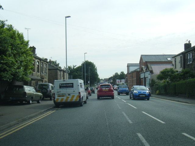
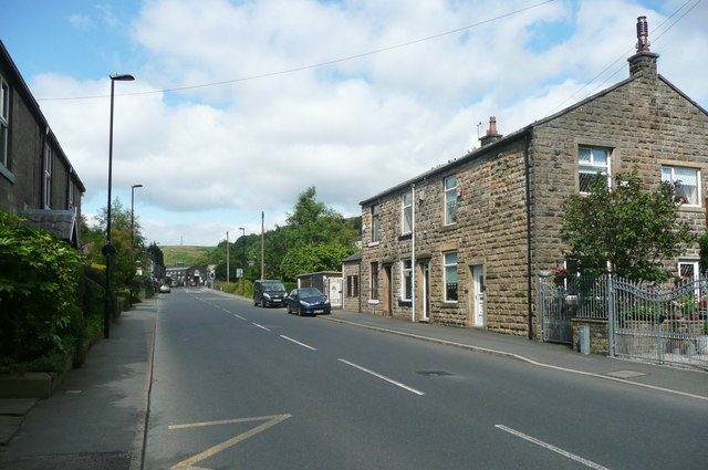
Clough is a small village located in the county of Lancashire, England. Situated in the picturesque Rossendale Valley, Clough is part of the larger civil parish of Rossendale. The village is nestled amidst rolling hills and is surrounded by the stunning landscapes of the Pennines.

With a population of around 1,000 residents, Clough has a close-knit community feel. The village is primarily residential, with a mix of traditional stone-built houses and more modern properties. The architecture reflects the area's industrial heritage, with remnants of former mills and factories still visible.

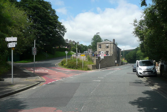
Clough benefits from its natural surroundings, making it an attractive destination for outdoor enthusiasts. The village is surrounded by lush green fields and woodland, offering numerous walking and hiking opportunities. The nearby Irwell Sculpture Trail provides a scenic route for cyclists and walkers, with various artworks dotted along the way.

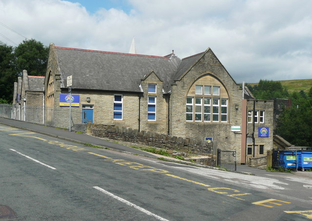
Despite its small size, Clough is well-served by amenities. The village has a local primary school and a community center that hosts various events and activities. For shopping and leisure, residents can easily access nearby towns such as Rawtenstall and Ramsbottom, which offer a wider range of facilities including supermarkets, restaurants, and leisure centers.

Transport links in Clough are convenient, with regular bus services connecting the village to surrounding areas. The M66 motorway is also easily accessible, providing connections to larger cities such as Manchester and Preston.

Overall, Clough offers a peaceful and picturesque setting for residents, with its beautiful natural surroundings and strong sense of community.

If you have any feedback on the listing, please let us know in the comments section below.
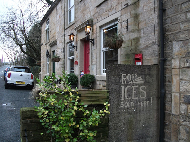
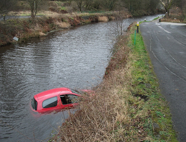
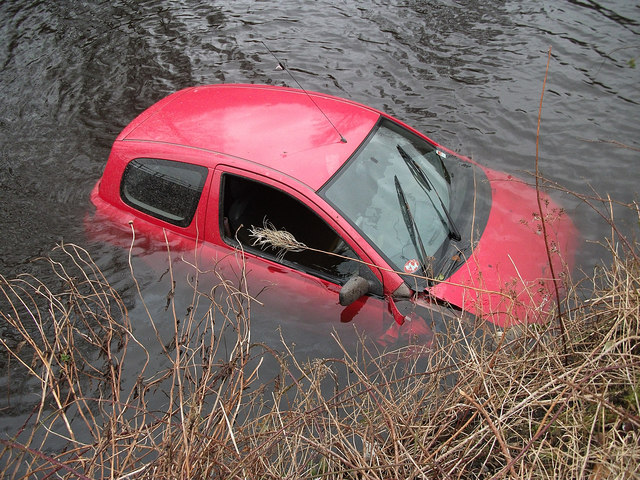
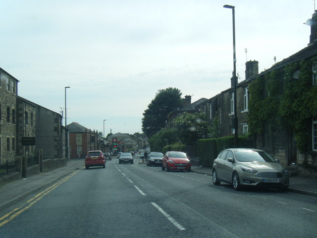
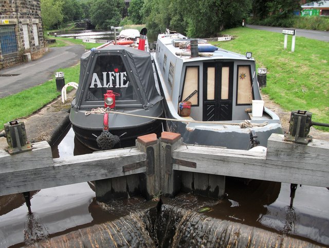
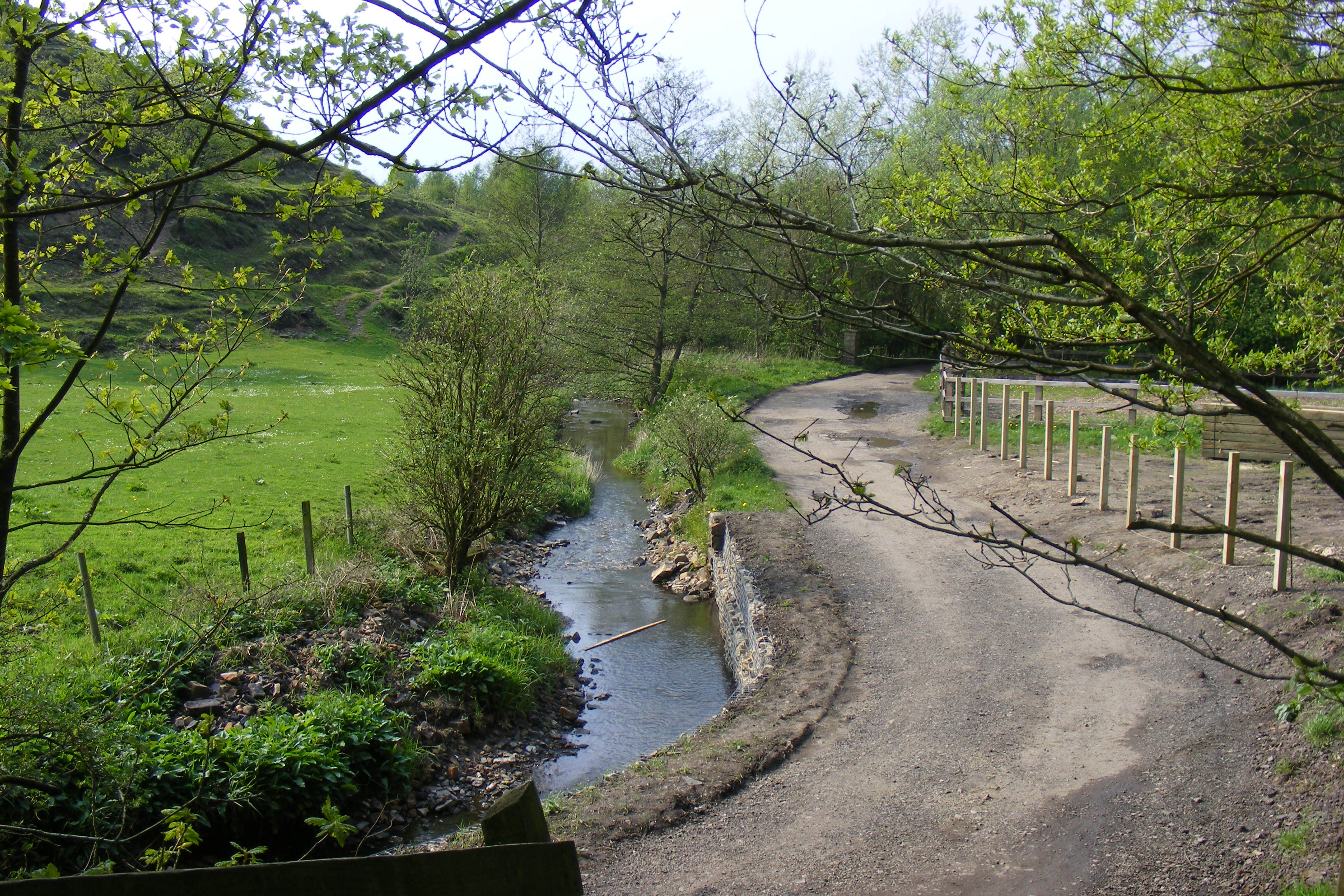
Clough Images

Images are sourced within 2km of 53.653499/-2.102095 or Grid Reference SD9317. Thanks to Geograph Open Source API. All images are credited.

Sladen Hill and Longley Hey seen from Halifax Road
Ross Ices - old ice cream sign
Car in the Rochdale Canal Just below Sladen Lock. Makes a change from seeing supermarket trolleys.
Car in the Rochdale Canal
Just below Sladen Lock. Makes a change from seeing supermarket trolleys.
Red car in Rochdale Canal Just below Sladen Lock (between Summit and Littleborough) on a very windy day.
Red car in Rochdale Canal
Just below Sladen Lock (between Summit and Littleborough) on a very windy day.
Shore Moor Crook Hill Wind Farm on Shore Moor.
Shore Moor
Crook Hill Wind Farm on Shore Moor.
A58 Church Street, Littleborough
A58 New road, Dearnley
Watergrove History Wall, lesser (southern) part The Watergrove History Wall, situated on the east side of Watergrove Reservoir at the southern end of the reservoir, includes several date stones from Watergrove village buildings and surrounding farmsteads that were demolished during the construction of Rochdale Corporation's Watergrove Reservoir in the 1930s.

The image is a composite of 6 photographs produced using Microsoft's ICE (Image Composite Editor) software.

The wall is approximately 170 ft long; this image is the southern 60 ft part.  The wall is divided by adjacent fencing.

The 110 ft greater (northern) part of the wall is illustrated in the Geograph:

       <a title="https://www.geograph.org.uk/photo/5163240" href="https://www.geograph.org.uk/photo/5163240">Link</a>
Watergrove History Wall, lesser (southern) part
The Watergrove History Wall, situated on the east side of Watergrove Reservoir at the southern end of the reservoir, includes several date stones from Watergrove village buildings and surrounding farmsteads that were demolished during the construction of Rochdale Corporation's Watergrove Reservoir in the 1930s. The image is a composite of 6 photographs produced using Microsoft's ICE (Image Composite Editor) software. The wall is approximately 170 ft long; this image is the southern 60 ft part. The wall is divided by adjacent fencing. The 110 ft greater (northern) part of the wall is illustrated in the Geograph: Link
Todmorden Road, Summit, with quarry in the distance The Pennine Bridleway goes left just before the pub. Summit Quarry is a big gash on the far hillside. It started as clay pits for a brickworks.
Todmorden Road, Summit, with quarry in the distance
The Pennine Bridleway goes left just before the pub. Summit Quarry is a big gash on the far hillside. It started as clay pits for a brickworks.
Lock on the Rochdale Canal at Chelburn Bridge, Summit The sign states that this is the West Summit Lock, No.37.
Lock on the Rochdale Canal at Chelburn Bridge, Summit
The sign states that this is the West Summit Lock, No.37.
Entrance to Summit Quarry This started as a clay pit for a brickworks, but there is rock-climbing on gritstone cliffs, so evidently stone has been quarried here. There is also woodland (A 'Woodland Welcome' wood).
Entrance to Summit Quarry
This started as a clay pit for a brickworks, but there is rock-climbing on gritstone cliffs, so evidently stone has been quarried here. There is also woodland (A 'Woodland Welcome' wood).
The junction of Barnes Meadows with Todmorden Road, Calderbrook The road name looks modern, and a look at the 1:2500 map on 1893 shows only a track. The 1910 edition shows the road, without a name, only as far as the newly built school. Calderbrook Terrace also appears on that map.
The junction of Barnes Meadows with Todmorden Road, Calderbrook
The road name looks modern, and a look at the 1:2500 map on 1893 shows only a track. The 1910 edition shows the road, without a name, only as far as the newly built school. Calderbrook Terrace also appears on that map.
Church of England primary School. Calderbrook. Littleborough This first appears on the 1910 edition of the 1:2500 map.
Church of England primary School. Calderbrook. Littleborough
This first appears on the 1910 edition of the 1:2500 map.
Todmorden Road (A6033) Summit, Littleborough
The Summit Inn, Summit, Littleborough
Recreation Ground, Calderbrook
Railway tunnel portal, Summit, Littleborough The 'sugar loaf' hill over the tunnel must surely be a spoil heap.
Railway tunnel portal, Summit, Littleborough
The 'sugar loaf' hill over the tunnel must surely be a spoil heap.
Rochdale Canal,Lock 44 This is Sladen Lock between Littleborough and Summit. Two narrow boats sharing the water as they climb the flight of locks towards the summit pound.
Rochdale Canal,Lock 44
This is Sladen Lock between Littleborough and Summit. Two narrow boats sharing the water as they climb the flight of locks towards the summit pound.
Show me another place!

Clough is located at Grid Ref: SD9317 (Lat: 53.653499, Lng: -2.102095)

Unitary Authority: Rochdale

Police Authority: Greater Manchester

What 3 Words

///tens.idea.corn. Near Littleborough, Manchester

Related Wikis

Greenvale Brook

Greenvale Brook is a watercourse in Greater Manchester and a tributary of the River Roch. == Tributaries == Lydgate Brook Castle Brook Red Brook Lead Mine...

Town House Brook

Town House Brook is a watercourse in Greater Manchester and a tributary of the River Roch. == Tributaries == Long Clough Brook Turn Slack Brook Blue Pot...

Littleborough, Greater Manchester

Littleborough ( LIT-əl-bər-ə) is a town in the Metropolitan Borough of Rochdale, Greater Manchester, England, in the upper Roch Valley by the foothills...

Ealees Brook

Ealees Brook is a water course in Greater Manchester named after the Ealees area of Littleborough. It flows northwards from the Ealees Valley to the River...

Nearby Amenities

Located within 500m of 53.653499,-2.102095
Clough
Is In: Littleborough, Rochdale, Greater Manchester, UK
Place: suburb
Source: npe
Lat/Long: 53.6537346/-2.1019377
Power: tower
Lat/Long: 53.6574224/-2.1012937
Bus Stop
Calderbrook Road/Whalley Avenue
Bus: yes
Naptan AtcoCode: 1800NE24411
Naptan Bearing: N
Naptan CommonName: Calderbrook Road/Whalley Avenue
Naptan Indicator: O/s House 51
Naptan Landmark: HOUSE 51
Naptan NaptanCode: mangamdg
Naptan PlusbusZoneRef: MNCRPIC
Naptan ShortCommonName: Whalley Avenue
Naptan Street: Calderbrook Road
Naptan Verified: no
Network: TfGM
Public Transport: platform
Source: naptan_import
Lat/Long: 53.6491811/-2.1003487
Bus Stop
Calderbrook Road/Whalley Avenue
Bus: yes
Naptan AtcoCode: 1800NE24421
Naptan Bearing: S
Naptan CommonName: Calderbrook Road/Whalley Avenue
Naptan Indicator: School
Naptan Landmark: SCHOOL
Naptan NaptanCode: mangamdj
Naptan PlusbusZoneRef: MNCRPIC
Naptan ShortCommonName: Whalley Avenue
Naptan Street: Calderbrook Road
Naptan Verified: no
Network: TfGM
Public Transport: platform
Source: naptan_import
Lat/Long: 53.6493431/-2.1001373
Bus Stop
Calderbrook Road/Clough Road
Bus: yes
Naptan AtcoCode: 1800NE24431
Naptan Bearing: S
Naptan CommonName: Calderbrook Road/Clough Road
Naptan Indicator: Opp House 121
Naptan Landmark: HOUSE 119
Naptan NaptanCode: mangamdp
Naptan PlusbusZoneRef: MNCRPIC
Naptan ShortCommonName: Clough Road
Naptan Street: Calderbrook Road
Naptan Verified: no
Network: TfGM
Public Transport: platform
Source: naptan_import
Lat/Long: 53.6516526/-2.1007177
Bus Stop
Calderbrook Road/Clough Road
Bus: yes
Naptan AtcoCode: 1800NE07341
Naptan Bearing: N
Naptan CommonName: Calderbrook Road/Clough Road
Naptan Indicator: Opp House 121
Naptan Landmark: OPP HOUSE 121
Naptan NaptanCode: mantgtgp
Naptan PlusbusZoneRef: MNCRPIC
Naptan ShortCommonName: Clough Road
Naptan Street: Calderbrook Road
Naptan Verified: no
Network: TfGM
Public Transport: platform
Source: naptan_import
Lat/Long: 53.6516166/-2.1008538
Bus Stop
Higher Newgate
Bus: yes
Naptan AtcoCode: 1800NE10101
Naptan Bearing: NE
Naptan CommonName: Higher Newgate
Naptan Indicator: at
Naptan Landmark: HOUSE 2
Naptan NaptanCode: MANTWAGJ
Naptan Street: CALDERBROOK Road
Naptan Verified: no
Network: TfGM
Public Transport: platform
Source: naptan;bing;naptan_compare_tool
Lat/Long: 53.6552613/-2.0980984
The data included in this document is from www.openstreetmap.org. The data is made available under ODbL.

Have you been to Clough?

Leave your review of Clough below (or comments, questions and feedback).