Kingsfield Copse
Wood, Forest in Devon East Devon
England
Kingsfield Copse
The requested URL returned error: 429 Too Many Requests
If you have any feedback on the listing, please let us know in the comments section below.
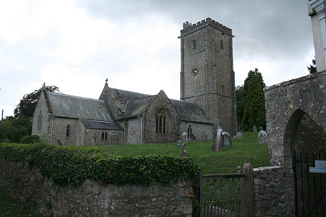
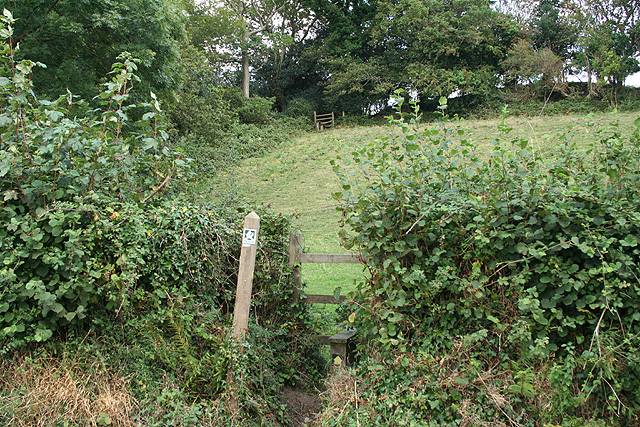
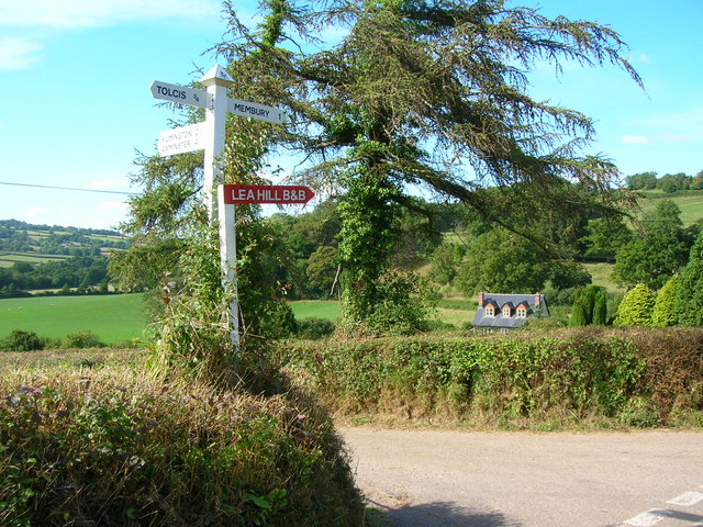
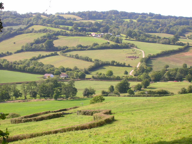
Kingsfield Copse Images
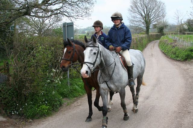
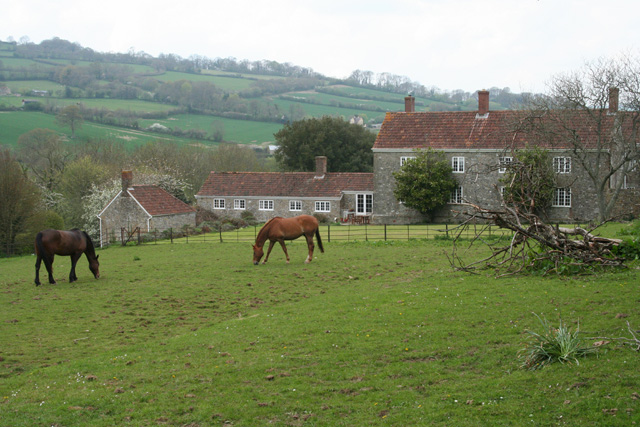
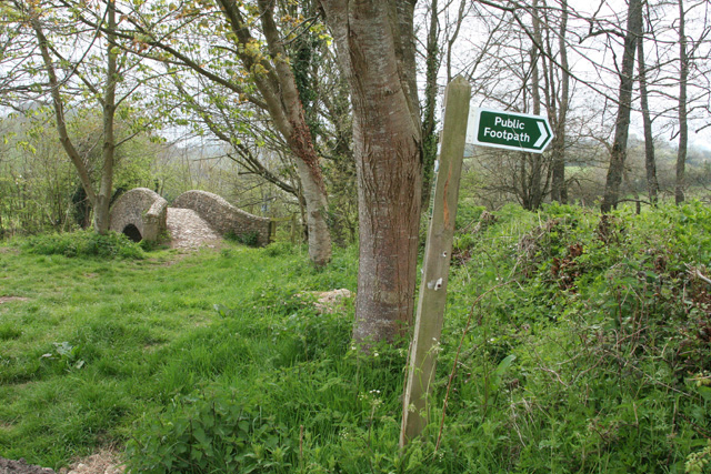
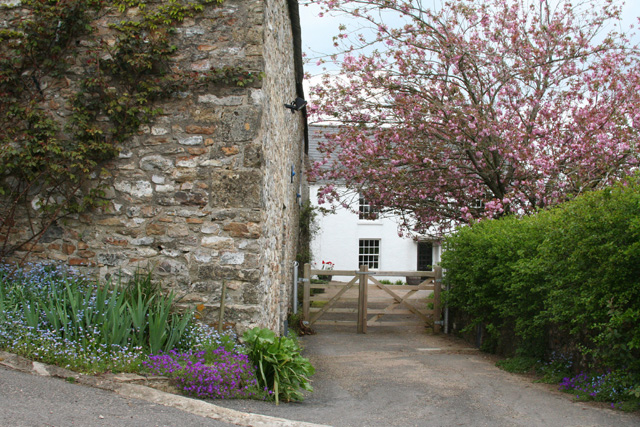
Images are sourced within 2km of 50.823497/-3.0414924 or Grid Reference ST2603. Thanks to Geograph Open Source API. All images are credited.
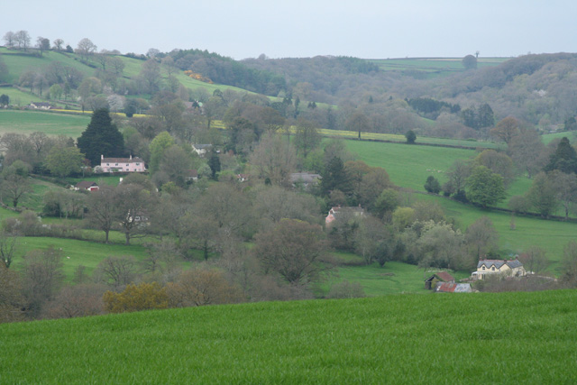
![Membury: nearing Waterhouse Farm On the public footpath from Case Bridge. Looking south-south-east. The farmhouse dates from the 16th century, according to W G Hoskins [W G Hoskins, Devon, Devon Books, 1992]](https://s3.geograph.org.uk/photos/16/15/161519_4574f6ed.jpg)

Kingsfield Copse is located at Grid Ref: ST2603 (Lat: 50.823497, Lng: -3.0414924)
Administrative County: Devon
District: East Devon
Police Authority: Devon and Cornwall
What 3 Words
///mural.dives.dissolve. Near Axminster, Devon
Nearby Locations
Related Wikis
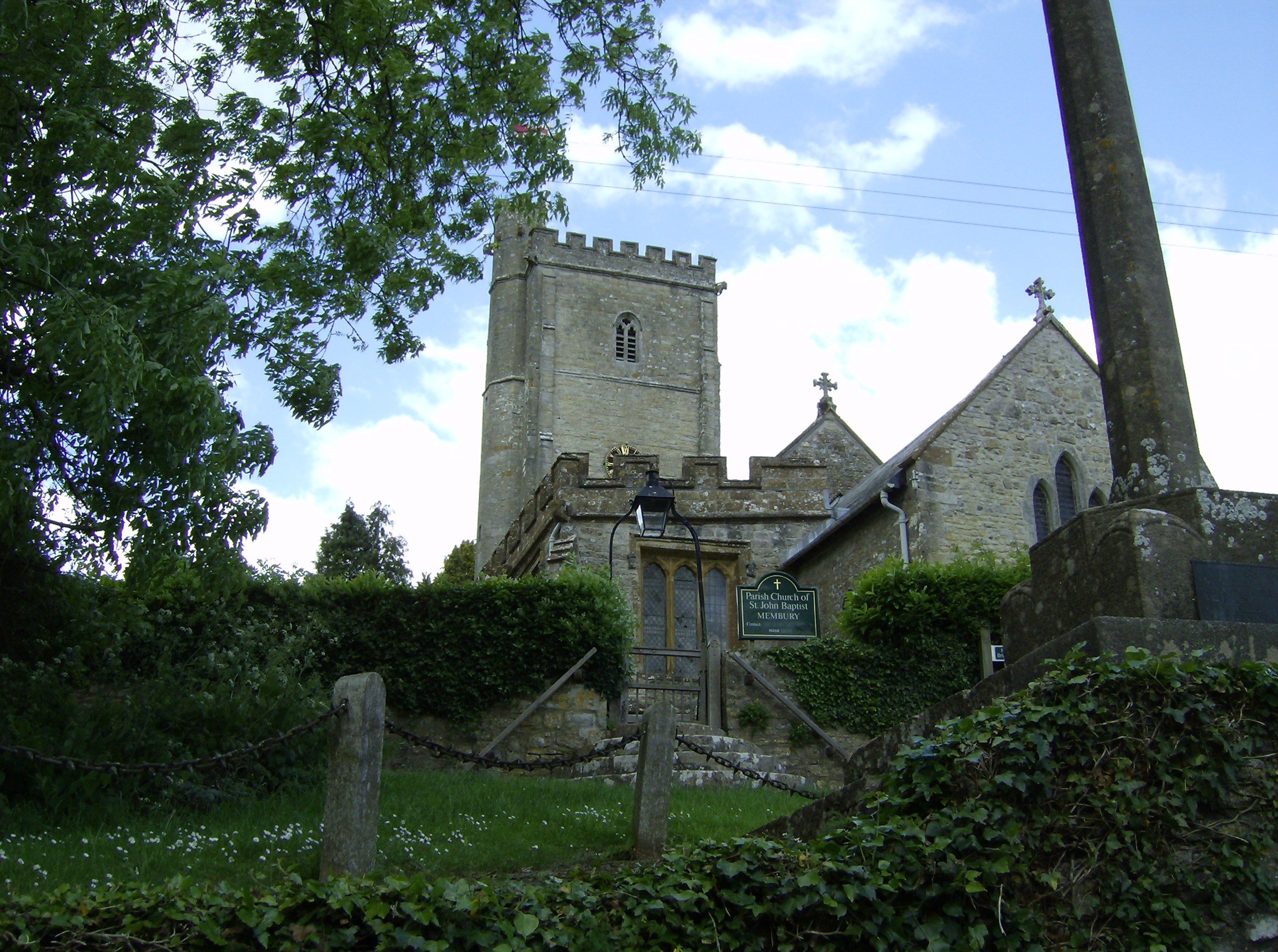
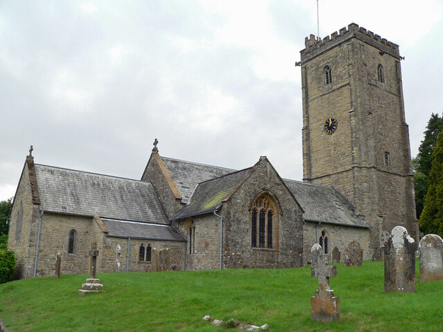
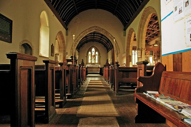
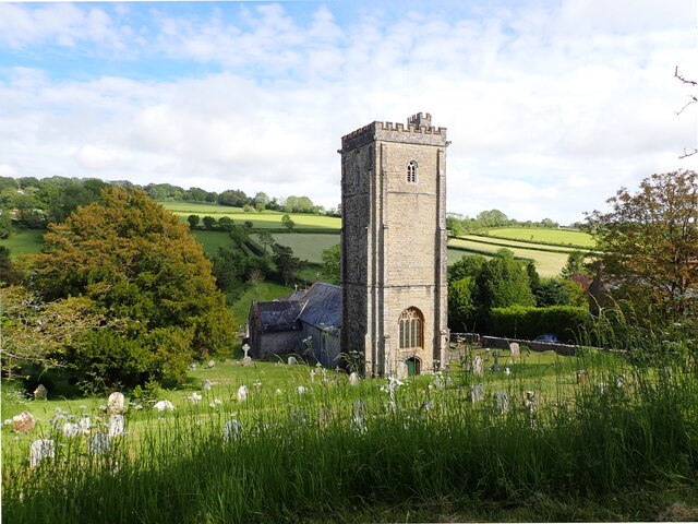
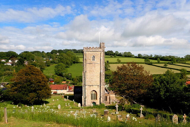
Membury, Devon
Membury is a village three miles north west of Axminster in East Devon district. The population at the 2011 Census was 501.The village has a 13th-century...

Membury Castle
Membury Castle is an Iron Age hillfort situated above the village of Membury in Devon. The fort occupies a commanding hilltop position some 204 metres...
Stockland, Devon
Stockland is a village and civil parish in Devon, close to the Somerset boundary. The parish is surrounded clockwise from the north by the parishes of...

Dalwood
Dalwood is a village and county parish in the East Devon district of the English county of Devon. It is approximately 3 miles (4.8 km) away from the nearest...
Nearby Amenities
Located within 500m of 50.823497,-3.0414924Have you been to Kingsfield Copse?
Leave your review of Kingsfield Copse below (or comments, questions and feedback).