Birch Copse

Wood, Forest in Devon East Devon

England

Birch Copse

Membury: approaching Case Bridge Case Bridge, out of shot, is a crossing of the river Yarty. Ahead the lane leads to Membury village. Looking north west
Membury: approaching Case Bridge Credit: Martin Bodman

Birch Copse, located in Devon, is a picturesque woodland area known for its abundance of birch trees. Stretching over a vast expanse, the copse is a haven for nature enthusiasts and those seeking a tranquil escape from the bustling city life.

The copse is characterized by its dense vegetation, comprising mainly of birch trees, which dominate the landscape with their slender trunks and delicate branches. The trees create a cool, shady environment beneath their canopy, providing a welcoming respite from the summer heat. The copse is particularly enchanting during the autumn months when the leaves of the birch trees transform into a vibrant palette of red, orange, and yellow, offering a stunning display of nature's beauty.

The forest floor is covered in a thick layer of moss and fallen leaves, providing a soft carpet for visitors to tread upon. This natural carpet is home to an array of wildlife, including squirrels, rabbits, and various bird species. It is not uncommon to spot a red fox darting through the undergrowth or to hear the melodic songs of woodland birds echoing through the trees.

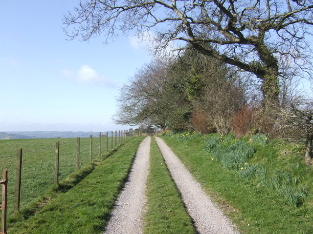
Tranquil pathways wind their way through Birch Copse, allowing visitors to explore the woodland at their own pace. These paths take visitors past babbling brooks, bubbling streams, and small ponds, adding to the serenity of the experience. Many visitors find solace in the copse, using it as a space for meditation, birdwatching, or simply to reconnect with nature.

Overall, Birch Copse in Devon offers a serene and picturesque escape into nature, providing a respite from the hustle and bustle of everyday life. It is a place where one can immerse themselves in the beauty of the natural world and find peace amongst the birch trees.

If you have any feedback on the listing, please let us know in the comments section below.
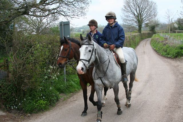
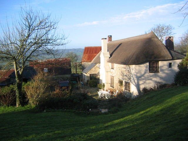
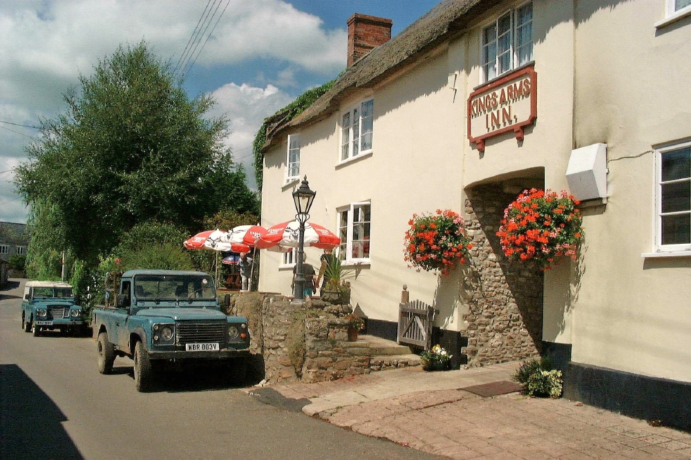
Birch Copse Images

Images are sourced within 2km of 50.843286/-3.0480689 or Grid Reference ST2605. Thanks to Geograph Open Source API. All images are credited.

Membury: approaching Case Bridge Case Bridge, out of shot, is a crossing of the river Yarty. Ahead the lane leads to Membury village. Looking north west
Membury: approaching Case Bridge
Case Bridge, out of shot, is a crossing of the river Yarty. Ahead the lane leads to Membury village. Looking north west
Stockland: the Yarty valley Looking east-south-east near Trimshayes Farm
Stockland: the Yarty valley
Looking east-south-east near Trimshayes Farm
Yarcombe: Chaffhay Farm The slate roof perhaps indicates an extension to the original building. Looking south-south-east
Yarcombe: Chaffhay Farm
The slate roof perhaps indicates an extension to the original building. Looking south-south-east
Wambrook: entrance to Deerhams Farm Looking south west on Money Pit Lane
Wambrook: entrance to Deerhams Farm
Looking south west on Money Pit Lane
Membury: former inn at Long Bridge Now a private house, this was formerly the Longbridge Inn and the sign still stands across the road. It was listed as a pub by CAMRA in 1993 when it featured a restaurant and two skittle alleys. There are now two bridges nearby: one over the Yarty and a second over another watercourse, possibly an old leat or tail race or flood channel
Membury: former inn at Long Bridge
Now a private house, this was formerly the Longbridge Inn and the sign still stands across the road. It was listed as a pub by CAMRA in 1993 when it featured a restaurant and two skittle alleys. There are now two bridges nearby: one over the Yarty and a second over another watercourse, possibly an old leat or tail race or flood channel
Membury: sign on Long Bridge Membury is now a Devon parish but was clearly in Dorset during the reign of George IV. The cast-iron sign on the crossing of the Yarty has survived from that period. Looking north
Membury: sign on Long Bridge
Membury is now a Devon parish but was clearly in Dorset during the reign of George IV. The cast-iron sign on the crossing of the Yarty has survived from that period. Looking north
Membury: the Yarty valley Looking west across the valley, a little south of Stockland village
Membury: the Yarty valley
Looking west across the valley, a little south of Stockland village
Membury: the Yarty valley Looking south west in the direction of Beacon Hill
Membury: the Yarty valley
Looking south west in the direction of Beacon Hill
Membury: Osmore Farm Looking north west
Membury: Osmore Farm
Looking north west
Membury: Osmore Farm Looking west to the Yarty valley by the farm entrance
Membury: Osmore Farm
Looking west to the Yarty valley by the farm entrance
Membury: Goodlands, Furley Thatch and hedge near Hook Cross, looking east-south-east. In the valley of a Yarty tributary
Membury: Goodlands, Furley
Thatch and hedge near Hook Cross, looking east-south-east. In the valley of a Yarty tributary
Membury: telephone box at Furley By Hook Cross, looking north east
Membury: telephone box at Furley
By Hook Cross, looking north east
Osmore Farm Photograph taken from the walled garden just above the farmhouse. The building is Grade II listed and originally dates back to the 14th century
Osmore Farm
Photograph taken from the walled garden just above the farmhouse. The building is Grade II listed and originally dates back to the 14th century
Osmore Farm Photograph taken from field above the farm buildings, looking North West across the Yarty valley.
Osmore Farm
Photograph taken from field above the farm buildings, looking North West across the Yarty valley.
Lane and stream North of Ford house in a lovely secluded valley in east Devon.
Lane and stream
North of Ford house in a lovely secluded valley in east Devon.
Godworthy Farm Perched on top of a hill in east Devon; the farm is reached from the south by this scenic lane starting at <a href="https://www.geograph.org.uk/photo/366544">ST2705 : Lane and stream</a>.
Godworthy Farm
Perched on top of a hill in east Devon; the farm is reached from the south by this scenic lane starting at ST2705 : Lane and stream.
Rolling Devon countryside The track to Trebblehayes Farm, and the farm itself can be seen between the trees. The dome of the Blackdown Hills form the backdrop to this country scene straight out of a butter advert!
Rolling Devon countryside
The track to Trebblehayes Farm, and the farm itself can be seen between the trees. The dome of the Blackdown Hills form the backdrop to this country scene straight out of a butter advert!
Road to Selah
Road to Selah
Show me another place!

Birch Copse is located at Grid Ref: ST2605 (Lat: 50.843286, Lng: -3.0480689)

Administrative County: Devon

District: East Devon

Police Authority: Devon and Cornwall

What 3 Words

///conned.amounting.amends. Near Chard, Somerset

Related Wikis

Stockland, Devon

Stockland is a village and civil parish in Devon, close to the Somerset boundary. The parish is surrounded clockwise from the north by the parishes of...
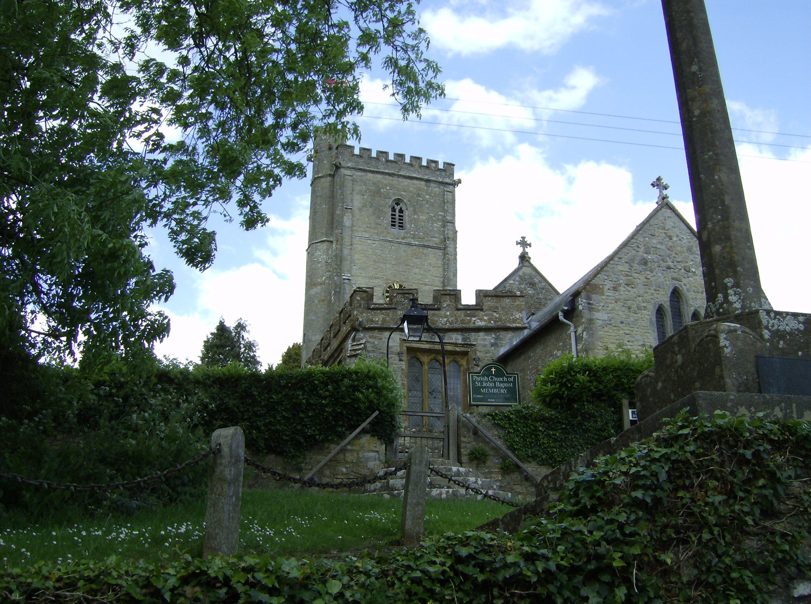
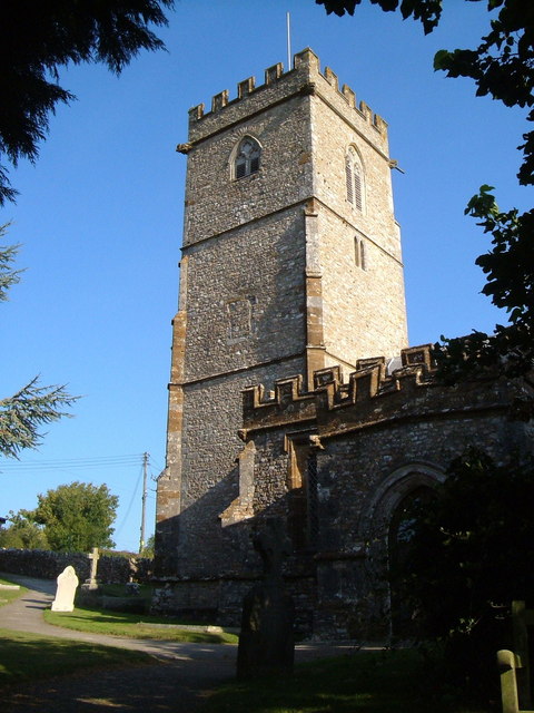
Membury, Devon

Membury is a village three miles north west of Axminster in East Devon district. The population at the 2011 Census was 501. The village has a 13th-century...

Membury Castle

Membury Castle is an Iron Age hillfort situated above the village of Membury in Devon. The fort occupies a commanding hilltop position some 204 metres...

Yarcombe

Yarcombe is a village and civil parish in the county of Devon, England, situated in the East Devon administrative district on the A30 road near the towns...

Nearby Amenities

Located within 500m of 50.843286,-3.0480689
Generator Method: photovoltaic
Generator Output Electricity: yes
Generator Source: solar
Generator Type: solar_photovoltaic_panel
Location: roof
Power: generator
Source: Bing
Lat/Long: 50.8443738/-3.0504522
Generator Method: photovoltaic
Generator Output Electricity: yes
Generator Source: solar
Generator Type: solar_photovoltaic_panel
Location: roof
Power: generator
Source: Bing
Lat/Long: 50.8404825/-3.0521138
Generator Method: photovoltaic
Generator Output Electricity: yes
Generator Source: solar
Generator Type: solar_photovoltaic_panel
Location: roof
Power: generator
Source: Bing
Lat/Long: 50.8405012/-3.0521996
Power: pole
Source: bing
Transformer: distribution
Lat/Long: 50.8471716/-3.0508961
Power: pole
Source: bing
Lat/Long: 50.8460674/-3.0519207
Power: pole
Source: bing
Lat/Long: 50.8468176/-3.0509484
Power: pole
Source: bing
Lat/Long: 50.8454611/-3.0529949
Power: pole
Source: bing
Lat/Long: 50.8450953/-3.0520883
Power: pole
Source: bing
Transformer: distribution
Lat/Long: 50.844754/-3.0512206
Power: pole
Source: bing
Lat/Long: 50.8414869/-3.0532457
Power: pole
Source: bing
Lat/Long: 50.8423821/-3.0536735
Power: pole
Source: bing
Lat/Long: 50.844804/-3.053982
Power: pole
Source: bing
Lat/Long: 50.8439199/-3.0544111
Power: pole
Source: bing
Lat/Long: 50.8431087/-3.0540195
Power: pole
Source: bing
Transformer: distribution
Lat/Long: 50.8409009/-3.0517463
Power: pole
Source: bing
Lat/Long: 50.840889/-3.052956
Power: pole
Source: bing
Lat/Long: 50.8411169/-3.0539605
The data included in this document is from www.openstreetmap.org. The data is made available under ODbL.

Have you been to Birch Copse?

Leave your review of Birch Copse below (or comments, questions and feedback).