Alexhays Copse
Wood, Forest in Somerset South Somerset
England
Alexhays Copse
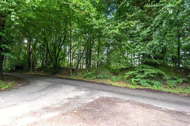
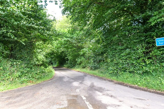
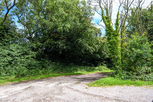
Alexhays Copse is a picturesque woodland located in Somerset, England. Covering an area of approximately 20 acres, it is situated in the heart of the county, near the charming village of Bishops Lydeard. The copse is known for its tranquil ambiance and stunning natural beauty, making it a popular spot for nature enthusiasts and hikers.
The woodland is predominantly composed of broadleaf trees, including oak, beech, and ash. These towering trees create a dense canopy, providing shade and shelter for a diverse range of flora and fauna. Bluebells, primroses, and wild garlic carpet the forest floor during the spring months, creating a vibrant and colorful display.
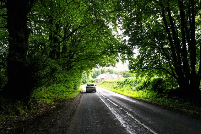
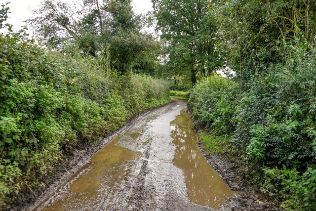
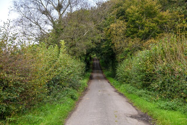
Several well-maintained footpaths meander through the copse, offering visitors the opportunity to explore its hidden corners and discover its hidden treasures. Along these paths, one can stumble upon a babbling brook that winds its way through the woods, adding to the area's serene atmosphere.
Alexhays Copse is home to a variety of bird species, including woodpeckers, nuthatches, and tawny owls. The dense foliage provides an ideal habitat for these birds, making it a great spot for birdwatching. Additionally, the copse is also inhabited by small mammals like squirrels, badgers, and foxes.
The woodland is managed by a local conservation group, ensuring the preservation of its natural beauty and biodiversity. Visitors are encouraged to respect the area's wildlife and adhere to the designated trails to minimize human impact on the delicate ecosystem.
Overall, Alexhays Copse in Somerset offers a peaceful retreat from the hustle and bustle of everyday life, providing visitors with a chance to immerse themselves in the wonders of nature.
If you have any feedback on the listing, please let us know in the comments section below.
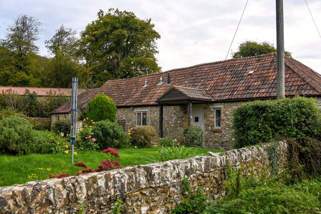
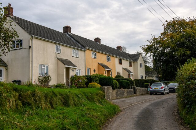
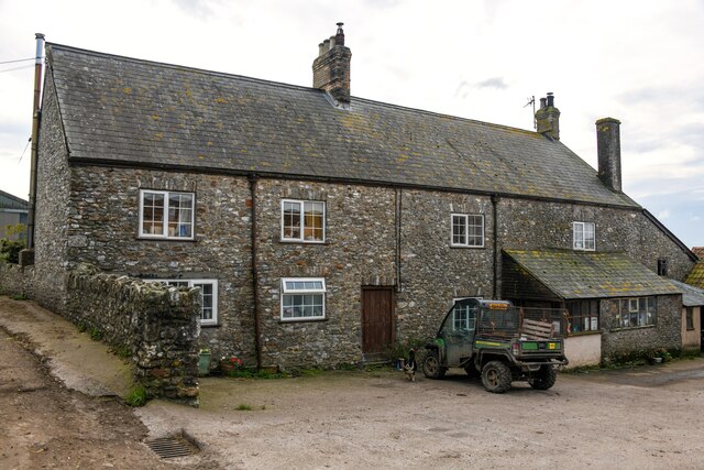
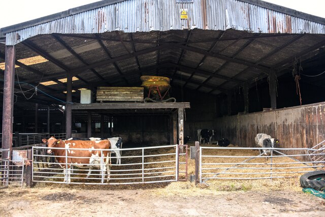
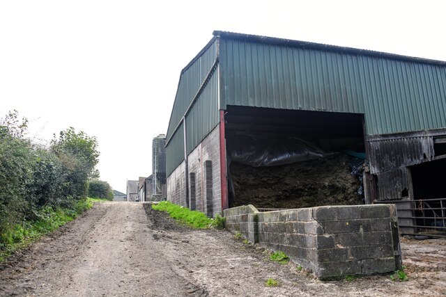
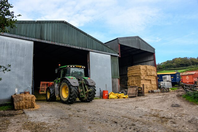
Alexhays Copse Images
Images are sourced within 2km of 50.913863/-3.0497961 or Grid Reference ST2613. Thanks to Geograph Open Source API. All images are credited.


Alexhays Copse is located at Grid Ref: ST2613 (Lat: 50.913863, Lng: -3.0497961)
Administrative County: Somerset
District: South Somerset
Police Authority: Avon and Somerset
What 3 Words
///hems.stopwatch.migrants. Near Chard, Somerset
Nearby Locations
Related Wikis
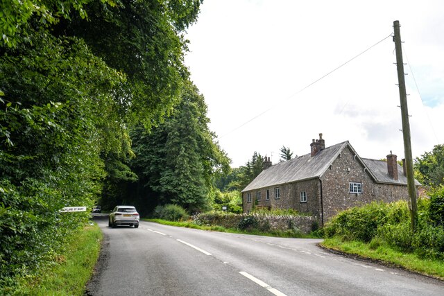
Buckland St Mary
Buckland St Mary is a village and parish in Somerset, England, situated 6 miles (9.7 km) to the west of Ilminster and 8 miles (12.9 km) south of Taunton...

Church of St Mary, Buckland St Mary
The Anglican Church of St Mary in Buckland St Mary, Somerset, England was built in 1853-1863. It is a Grade II* listed building. == History == The church...

Bishopswood Meadows
Bishopswood Meadows is a nature reserve situated within the Blackdown Hills Area of Outstanding Natural Beauty in the county of Somerset, England. The...
Long Lye
Long Lye (grid reference ST265122) is an 11.7 hectare (29.0 acre) biological Site of Special Scientific Interest at Buckland St Mary in the Blackdown Hills...
Long Lye Meadow
Long Lye Meadow (grid reference ST267119) is a 3.3 hectare biological Site of Special Scientific Interest at Buckland St Mary in the Blackdown Hills, Somerset...

Freshmoor
Freshmoor (grid reference ST280125) is an 11.2 hectare (27.7 acre) biological Site of Special Scientific Interest in Somerset, notified in 1989. Freshmoor...

Robin Hood's Butts
Robin Hood's Butts are a group of nine Bronze Age barrows near Otterford on the Blackdown Hills in Somerset, England. They have been scheduled as ancient...

Castle Neroche
Castle Neroche is a Norman motte-and-bailey castle on the site of an earlier hill fort in the parish of Curland, near Staple Fitzpaine, Somerset, England...
Nearby Amenities
Located within 500m of 50.913863,-3.0497961Have you been to Alexhays Copse?
Leave your review of Alexhays Copse below (or comments, questions and feedback).