Cloford Common

Settlement in Somerset Mendip

England

Cloford Common

Macmillan Way in Trudoxhill The LDP follows the main village street north-westwards. This was taken a little further up the road from <a href="https://www.geograph.org.uk/photo/4158016">ST7443 : Village Street, Trudoxhill</a>.
Macmillan Way in Trudoxhill Credit: Derek Harper

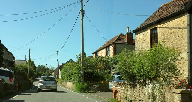
Cloford Common is a picturesque and idyllic rural area located in the county of Somerset, England. Situated about 2 miles southeast of Frome, this small village is surrounded by beautiful rolling hills and countryside, offering a peaceful and tranquil setting.

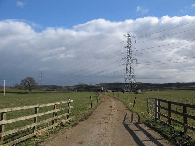
The common itself is a vast expanse of open grassland, covering roughly 100 acres. It is characterized by its gently undulating terrain and scattered copses of trees, creating a charming and natural landscape. The common is mainly used for agricultural purposes, with local farmers utilizing the land for grazing livestock and cultivating crops.

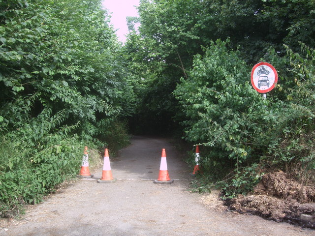
Cloford Common is a popular spot for outdoor enthusiasts and nature lovers. The expansive grassy areas provide ample opportunities for leisurely walks, picnics, and even kite flying. The stunning views of the surrounding countryside also make it a favored spot for photographers and artists seeking inspiration.

The common is home to various species of wildlife, including rabbits, hares, and a variety of bird species, making it a haven for nature enthusiasts and birdwatchers. The area is also rich in flora, with wildflowers such as buttercups and daisies adorning the landscape during the summer months.

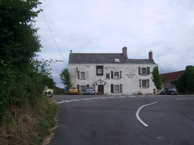
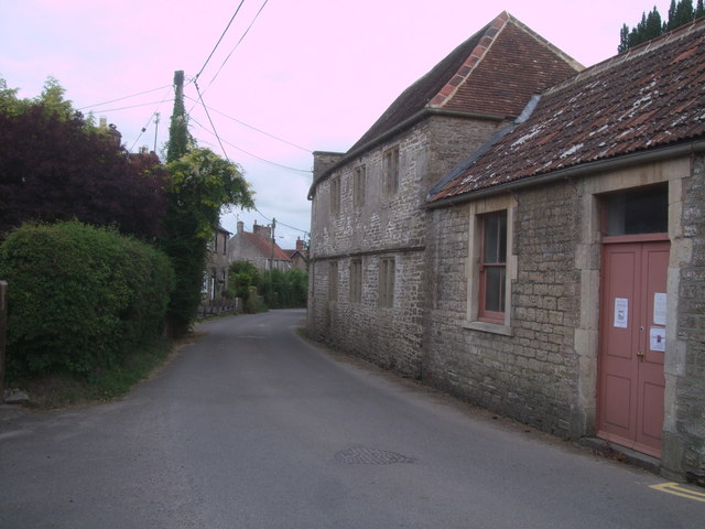
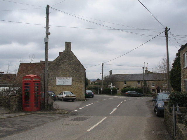
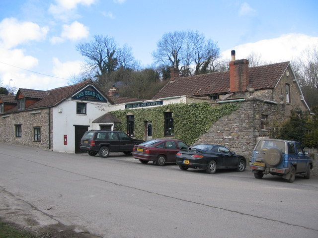
Despite its rural charm, Cloford Common is conveniently located near several amenities. The nearby village of Cloford offers a local pub and a primary school, while the larger town of Frome provides a wider range of shops, restaurants, and services.

In summary, Cloford Common is a picturesque and serene area in Somerset, offering a beautiful natural landscape, abundant wildlife, and a peaceful environment for visitors to enjoy.

If you have any feedback on the listing, please let us know in the comments section below.

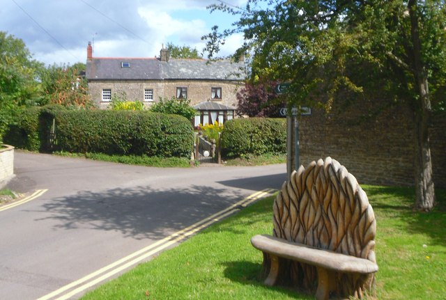
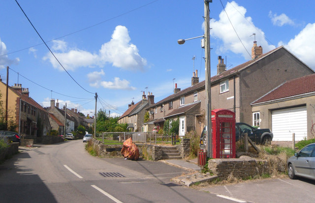
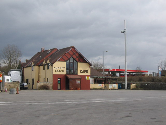
Cloford Common Images

Images are sourced within 2km of 51.18967/-2.386182 or Grid Reference ST7343. Thanks to Geograph Open Source API. All images are credited.

Macmillan Way in Trudoxhill The LDP follows the main village street north-westwards. This was taken a little further up the road from <a href="https://www.geograph.org.uk/photo/4158016">ST7443 : Village Street, Trudoxhill</a>.
Macmillan Way in Trudoxhill
The LDP follows the main village street north-westwards. This was taken a little further up the road from ST7443 : Village Street, Trudoxhill.
Marston Road, Nunney At the junction of the road from Trudoxhill with the A361 Marston Road. The brown sign pointing towards the camera advertises "Trudoxhill Macmillan Way" and both OS maps and the LWDA map show the Way crossing the main road at this junction. But I can't see any route for it on the other side of this junction, nor any waymark. Surely it should follow the lane shown in <a href="https://www.geograph.org.uk/photo/4068831">ST7444 : Disused road, near Nunney Catch</a> which passes safely beneath the main road? However, no waymarking is visible on Streetview where this lane leaves the road from Trudoxhill.
Marston Road, Nunney
At the junction of the road from Trudoxhill with the A361 Marston Road. The brown sign pointing towards the camera advertises "Trudoxhill Macmillan Way" and both OS maps and the LWDA map show the Way crossing the main road at this junction. But I can't see any route for it on the other side of this junction, nor any waymark. Surely it should follow the lane shown in ST7444 : Disused road, near Nunney Catch which passes safely beneath the main road? However, no waymarking is visible on Streetview where this lane leaves the road from Trudoxhill.
A361 approaching Nunney Catch Looking left from <a href="https://www.geograph.org.uk/photo/7189486">ST7444 : Marston Road, Nunney</a> along Marston Road; the Nunney Catch roundabout can be glimpsed ahead. On the left is Braeside Farm.
A361 approaching Nunney Catch
Looking left from ST7444 : Marston Road, Nunney along Marston Road; the Nunney Catch roundabout can be glimpsed ahead. On the left is Braeside Farm.
Splitter island, Nunney Catch Roundabout Turning left away from the roundabout is the A361 to Shepton Mallet. I'd have thought there should be a roadsign on the island confirming thus.
Splitter island, Nunney Catch Roundabout
Turning left away from the roundabout is the A361 to Shepton Mallet. I'd have thought there should be a roadsign on the island confirming thus.
The Theobald Arms, Nunney Catch The Theobald Arms, Nunney Catch, looking even worse for wear than in 2009, see 
<a href="https://www.geograph.org.uk/photo/1323590">ST7344 : The Theobald Arms, Nunney Catch</a>.
The Theobald Arms, Nunney Catch
The Theobald Arms, Nunney Catch, looking even worse for wear than in 2009, see ST7344 : The Theobald Arms, Nunney Catch.
Disused road, near Nunney Catch This lane goes underneath the busy A 361 Marston Road and links to the road to Trudoxhill. Though disused, it is still walkable.
Disused road, near Nunney Catch
This lane goes underneath the busy A 361 Marston Road and links to the road to Trudoxhill. Though disused, it is still walkable.
Congregational chapel, Foghamshire Lane, Trudoxhill Grade II* Listed meeting-house, converted from house. <span class="nowrap"><a title="http://www.britishlistedbuildings.co.uk/en-266840-congregational-chapel-trudoxhill-somerse" rel="nofollow ugc noopener" href="http://www.britishlistedbuildings.co.uk/en-266840-congregational-chapel-trudoxhill-somerse">Link</a><img style="margin-left:2px;" alt="External link" title="External link - shift click to open in new window" src="https://s1.geograph.org.uk/img/external.png" width="10" height="10"/></span> Dated 1699, converted 1717, with 19th century alterations. It has a two-storey façade with a four-bay north front with stone mullioned windows with leaded panes. A single-storey schoolroom was added on the right in 1898 with a sash window and panelled double-doors. The chapel is still in use.
Congregational chapel, Foghamshire Lane, Trudoxhill
Grade II* Listed meeting-house, converted from house. LinkExternal link Dated 1699, converted 1717, with 19th century alterations. It has a two-storey façade with a four-bay north front with stone mullioned windows with leaded panes. A single-storey schoolroom was added on the right in 1898 with a sash window and panelled double-doors. The chapel is still in use.
An Old Chapel Looking a bit more overgrown than in this image from 2006 <a href="https://www.geograph.org.uk/photo/136261">ST7444 : Old chapel at Knoll Hill</a> and the footpath sign has gone.
An Old Chapel
Looking a bit more overgrown than in this image from 2006 ST7444 : Old chapel at Knoll Hill and the footpath sign has gone.
Carved Bench, Trudoxhill This elaborately carved seat is on a small green near the White Hart pub.
Carved Bench, Trudoxhill
This elaborately carved seat is on a small green near the White Hart pub.
Village Street, Trudoxhill
Cloford: church Dedicated to Mary the Virgin. Nearby Wanstrow and Batcombe churches share the same dedication; all three churches align 5 degrees north of east along their long axis, ie their nave and chancel. Probably just coincidence. Very few Somerset churches align exactly east, however; some bear as much as 18 degrees north of east or south of east.
Cloford: church
Dedicated to Mary the Virgin. Nearby Wanstrow and Batcombe churches share the same dedication; all three churches align 5 degrees north of east along their long axis, ie their nave and chancel. Probably just coincidence. Very few Somerset churches align exactly east, however; some bear as much as 18 degrees north of east or south of east.
Nunney  Catch Cafe A view looking east across the truck parking area at the Nunney Catch service area on the A350.
Nunney Catch Cafe
A view looking east across the truck parking area at the Nunney Catch service area on the A350.
Road to Landmarks Farm A view looking southeast along the access road to Landmarks Farm from the A359.
Road to Landmarks Farm
A view looking southeast along the access road to Landmarks Farm from the A359.
Trudoxhill A view looking southeast at the centre of the village of Trudoxhill. The White Hart Inn public house is at left.
Trudoxhill
A view looking southeast at the centre of the village of Trudoxhill. The White Hart Inn public house is at left.
Old chapel at Knoll Hill This former chapel at Knoll Hill now appears to be in use as a private residence. View looking northeast across the lane from Nunney to Trudoxhill.
Old chapel at Knoll Hill
This former chapel at Knoll Hill now appears to be in use as a private residence. View looking northeast across the lane from Nunney to Trudoxhill.
Holwell A view looking northwest across a local access road towards the Bear Inn at Holwell. This road was once the main A361 before a new bridge was built over the brook and the road re-aligned with a crawler lane up Holwell Hill to avoid congestion with the many heavy vehicles carrying stone from the local quarries.
Holwell
A view looking northwest across a local access road towards the Bear Inn at Holwell. This road was once the main A361 before a new bridge was built over the brook and the road re-aligned with a crawler lane up Holwell Hill to avoid congestion with the many heavy vehicles carrying stone from the local quarries.
The Bear Inn, Holwell A view looking east along the old A361, now relegated to a local access road. The Bear Inn is at left with the old bridge over the Nunney Brook at right.
The Bear Inn, Holwell
A view looking east along the old A361, now relegated to a local access road. The Bear Inn is at left with the old bridge over the Nunney Brook at right.
The Theobald Arms At Nunney Catch, this inn was on the main coach road but has been bypassed in recent years and the building itself has seen better days.
The Theobald Arms
At Nunney Catch, this inn was on the main coach road but has been bypassed in recent years and the building itself has seen better days.
Show me another place!

Cloford Common is located at Grid Ref: ST7343 (Lat: 51.18967, Lng: -2.386182)

Administrative County: Somerset

District: Mendip

Police Authority: Avon and Somerset

What 3 Words

///decide.modules.newsreel. Near Frome, Somerset

Related Wikis

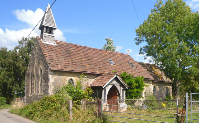
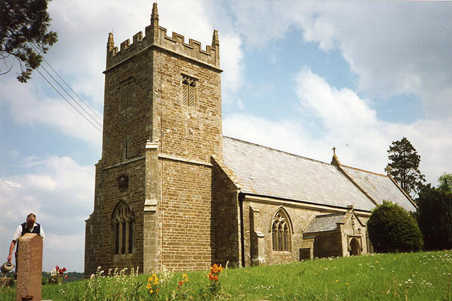
Church of St Mary, Cloford

The Church of St Mary in Cloford, Wanstrow, Somerset, England was built in the 15th century. It is a Grade II* listed building. == History == The church...

Postlebury Wood

Postlebury Wood (grid reference ST740430) is an 87 hectare biological Site of Special Scientific Interest south of Trudoxhill in Somerset, notified in...

Trudoxhill

Trudoxhill is a village and civil parish near Nunney in Somerset, England. == History == The name Trudoxhill comes from the Old English treow meaning tree...

Cloford Quarry

Cloford Quarry (grid reference ST718444) is a 39.92-hectare (98.6-acre) geological Site of Special Scientific Interest to the south of the A361 approximately...

Holwell Quarries

Holwell Quarries (grid reference ST726450) is a 1.3-hectare (3.2-acre) geological Site of Special Scientific Interest at Holwell near Nunney on the Mendip...

Colemans Quarry

Colemans Quarry, grid reference ST726452 is a limestone quarry at Holwell, near Nunney on the Mendip Hills, Somerset, England. The Colemans Quarry complex...

Nunney

Nunney is a village and civil parish in the English county of Somerset. It is located 3 miles (5 km) south-west of Frome and the parish includes the hamlet...

Church of All Saints, Nunney

The Church of All Saints at Nunney, Somerset, England, is a Grade I listed building dating from the 12th century.It was probably built on the site of an...

Nearby Amenities

Located within 500m of 51.18967,-2.386182
Power: pole
Lat/Long: 51.189533/-2.3869166
Power: pole
Lat/Long: 51.1904122/-2.388086
Power: pole
Lat/Long: 51.1933506/-2.3835316
Power: pole
Lat/Long: 51.192532/-2.3852831
Power: pole
Lat/Long: 51.1924092/-2.390846
Power: pole
Lat/Long: 51.1918209/-2.3899502
Power: pole
Lat/Long: 51.1910863/-2.3890731
Power: pole
Lat/Long: 51.1917537/-2.3868871
Power: pole
Lat/Long: 51.1909535/-2.38855
Power: pole
Lat/Long: 51.1902609/-2.3898375
Power: pole
Lat/Long: 51.1893431/-2.3914951
Power: pole
Lat/Long: 51.188474/-2.3930991
Cloford Common
Place: hamlet
Lat/Long: 51.1897493/-2.3859752
The data included in this document is from www.openstreetmap.org. The data is made available under ODbL.

Have you been to Cloford Common?

Leave your review of Cloford Common below (or comments, questions and feedback).