Bower Wood

Wood, Forest in Lancashire South Lakeland

England

Bower Wood

Stone Column
Stone Column Credit: Peter McDermott

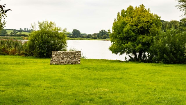
Bower Wood is a picturesque woodland located in the county of Lancashire, England. Situated near the town of Chorley, it covers an area of approximately 200 acres, making it a significant natural feature in the region. The wood is part of the larger Bowerham Estate, which has been owned by the same family for generations.

The woodland is predominantly composed of broadleaf trees, including oak, beech, and birch, which create a beautiful and diverse ecosystem. Due to its rich biodiversity, Bower Wood has been designated as a Site of Special Scientific Interest (SSSI), recognizing its importance for conservation and research purposes.

Visitors to Bower Wood can enjoy a variety of activities, such as walking, wildlife spotting, and photography. The well-maintained footpaths and trails make it easy to explore the wood and discover its hidden treasures. The wood is home to a wide range of wildlife, including deer, foxes, rabbits, and a plethora of bird species, making it a haven for nature enthusiasts.

The tranquil and peaceful atmosphere of Bower Wood also makes it a popular spot for relaxation and mindfulness. The sound of rustling leaves, chirping birds, and the gentle flow of a nearby stream all contribute to the serene ambiance of the wood.

Overall, Bower Wood in Lancashire is a captivating destination for those seeking a connection with nature. Its natural beauty, diverse wildlife, and accessibility make it an ideal location for a peaceful and enjoyable woodland experience.

If you have any feedback on the listing, please let us know in the comments section below.
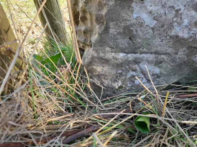
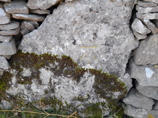
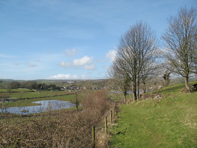
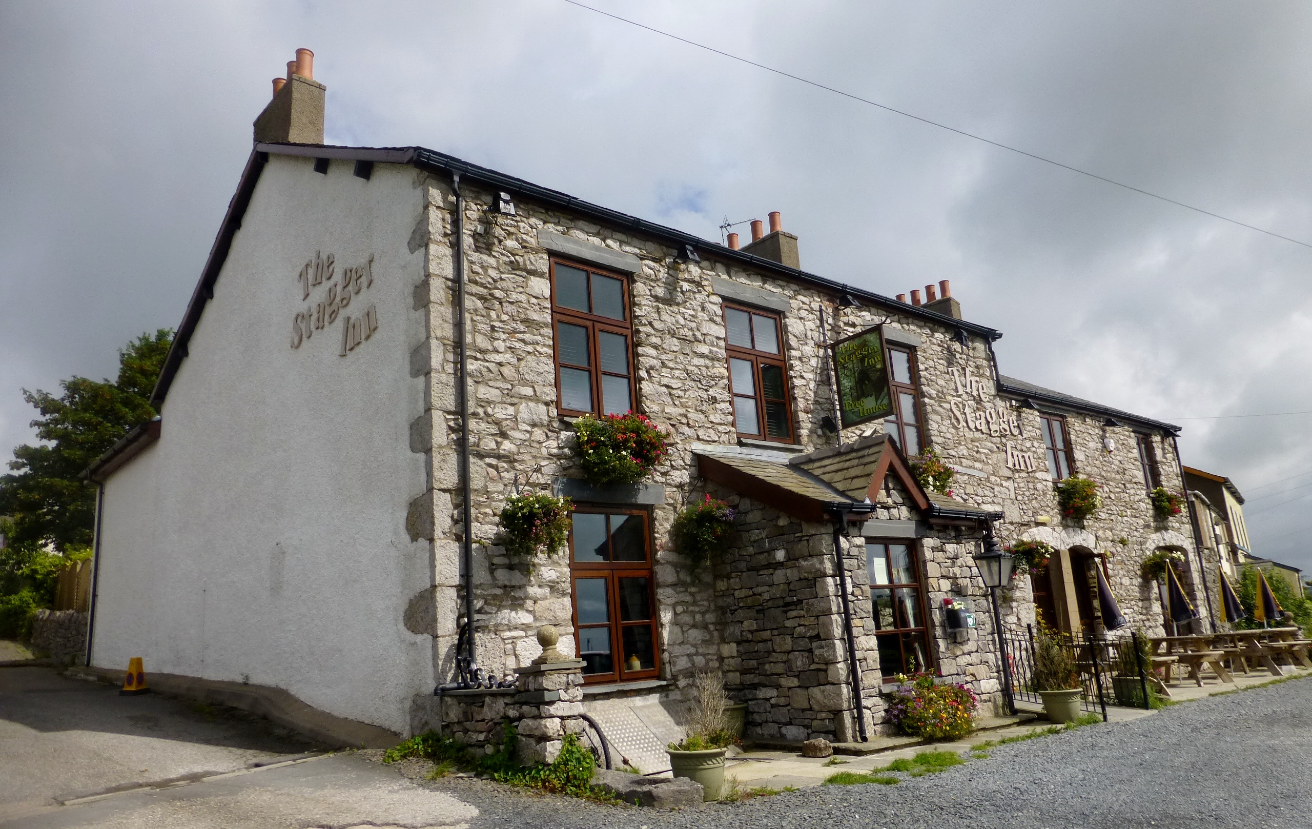
Bower Wood Images

Images are sourced within 2km of 54.158767/-3.1329431 or Grid Reference SD2674. Thanks to Geograph Open Source API. All images are credited.

Stone Column
Stone Column
Urswick Tarn
Urswick Tarn
Great Urswick What was the Derby Arms public house in Great Urswick.
Great Urswick
What was the Derby Arms public house in Great Urswick.
Hill Farm
Hill Farm
Limestone outcrop near Green Slacks A cluster of wind shaped trees have gained a foothold in the grikes in the outcropping limestone. 
Part of the outcrop was incorporated into defensive wall around what is probably an Iron Age farmstead; some of the earthworks are discernible to the right of the trees.
Limestone outcrop near Green Slacks
A cluster of wind shaped trees have gained a foothold in the grikes in the outcropping limestone. Part of the outcrop was incorporated into defensive wall around what is probably an Iron Age farmstead; some of the earthworks are discernible to the right of the trees.
Lane behind Greenbank Gardens This lane takes a public footpath to the east of Little Urswick village.  The houses to the left are on Greenbank Gardens.
Lane behind Greenbank Gardens
This lane takes a public footpath to the east of Little Urswick village. The houses to the left are on Greenbank Gardens.
Arrow mark, Lowfield Bridge This carved arrow is at the bottom of the abutment of Lowfield Bridge on the north east side.  It is not an Ordnance Survey benchmark.
The bridge has been rebuilt twice due to mining subsidence and the original arch is long gone, but this part of the abutment is original. More recent brickwork from the mid-1960s rebuilding is evident to the left of the photograph.
Arrow mark, Lowfield Bridge
This carved arrow is at the bottom of the abutment of Lowfield Bridge on the north east side. It is not an Ordnance Survey benchmark. The bridge has been rebuilt twice due to mining subsidence and the original arch is long gone, but this part of the abutment is original. More recent brickwork from the mid-1960s rebuilding is evident to the left of the photograph.
Ordnance Survey Cut Mark This OS cut mark can be found on the NW angle of St Peter's Church. It marks a point 73.786m above mean sea level.
Ordnance Survey Cut Mark
This OS cut mark can be found on the NW angle of St Peter's Church. It marks a point 73.786m above mean sea level.
Ordnance Survey Cut Mark This OS cut mark can be found on the gatepost east side of the road. It marks a point 83.558m above mean sea level.
Ordnance Survey Cut Mark
This OS cut mark can be found on the gatepost east side of the road. It marks a point 83.558m above mean sea level.
Ordnance Survey Cut Mark This OS cut mark can be found on the wall west side of the road. It marks a point 88.401m above mean sea level.
Ordnance Survey Cut Mark
This OS cut mark can be found on the wall west side of the road. It marks a point 88.401m above mean sea level.
Ordnance Survey Cut Mark This OS cut mark can be found on the NW angle of St Mary's Church. It marks a point 39.935m above mean sea level.
Ordnance Survey Cut Mark
This OS cut mark can be found on the NW angle of St Mary's Church. It marks a point 39.935m above mean sea level.
Ordnance Survey Cut Mark This OS cut mark can be found on the stone column north side of the road. It marks a point 75.920m above mean sea level.
Ordnance Survey Cut Mark
This OS cut mark can be found on the stone column north side of the road. It marks a point 75.920m above mean sea level.
Houses in Little Urswick
Church of Saint Mary and Saint Michael, Great Urswick
Book of Condolences in Great Urswick Church To remember Her Majesty Queen Elizabeth II (1926-2022) on the weekend before her funeral service in London.
Book of Condolences in Great Urswick Church
To remember Her Majesty Queen Elizabeth II (1926-2022) on the weekend before her funeral service in London.
Holme Bank Great Urswick is in the background.
The public footpath from Green Slacks to Holme Bank follows the fence.
Holme Bank
Great Urswick is in the background. The public footpath from Green Slacks to Holme Bank follows the fence.
Old Boundary Marker on the A590 Ulverston Road Municipal Boundary Marker in Lindal in Furness, against a short length of stone wall beside No.45, on the northeast side of the A590 Ulverston Road. The inscriptions are reported to be DALTON / IN / FURNESS / UDC and LOW / FURNESS on adjacent faces, and BOUNDARY on the bevelled top face.

Old OS maps don't show a boundary here until 1935. It is possible that the stone was moved from SD2523175891. Dalton in Furness UDC, consisting of Dalton in Furness parish, was created in 1894 and the neighbouring local government unit would have been Pennington parish in Ulverston Rural District. Dalton in Furness parish was abolished in 1974. The current boundary is between Lindal and Marton and Pennington parish. Lindal and Marton was created in 1987 along with two other parishes from the former area of Dalton in Furness. 

Milestone Society National ID: LA_LABA39pb
Old Boundary Marker on the A590 Ulverston Road
Municipal Boundary Marker in Lindal in Furness, against a short length of stone wall beside No.45, on the northeast side of the A590 Ulverston Road. The inscriptions are reported to be DALTON / IN / FURNESS / UDC and LOW / FURNESS on adjacent faces, and BOUNDARY on the bevelled top face. Old OS maps don't show a boundary here until 1935. It is possible that the stone was moved from SD2523175891. Dalton in Furness UDC, consisting of Dalton in Furness parish, was created in 1894 and the neighbouring local government unit would have been Pennington parish in Ulverston Rural District. Dalton in Furness parish was abolished in 1974. The current boundary is between Lindal and Marton and Pennington parish. Lindal and Marton was created in 1987 along with two other parishes from the former area of Dalton in Furness. Milestone Society National ID: LA_LABA39pb
Colony Candle Factory This building houses a candle factory, shop and cafe
Colony Candle Factory
This building houses a candle factory, shop and cafe
Show me another place!

Bower Wood is located at Grid Ref: SD2674 (Lat: 54.158767, Lng: -3.1329431)

Administrative County: Cumbria

District: South Lakeland

Police Authority: Cumbria

What 3 Words

///fearfully.frames.reheat. Near Dalton in Furness, Cumbria

Related Wikis

Urswick

Urswick is a civil parish that includes the villages of Great Urswick and Little Urswick. It is located in the Furness area of Cumbria, England. The villages...

St Mary and St Michael's Church, Great Urswick

St Mary and St Michael's Church is in the village of Great Urswick, Cumbria, England. It is an active Anglican parish church in the deanery of Furness...

Heaning Wood Bone Cave

Heaning Wood Bone Cave is a cave of archaeological importance in Great Urswick, Cumbria, England.The cave was first excavated by Holland in 1958, when...

Urswick Grammar School

Urswick Grammar School was located in Little Urswick, Cumbria, England. The school was founded in 1585 as the result of a royal charter granted by Queen...

Lindal railway station

Lindal railway station served Lindal-in-Furness in the Furness area of Lancashire, England (now part of Cumbria). == Context == Lindal station was situated...

Lindal-in-Furness

Lindal-in-Furness is a village on the Furness peninsula, in the Westmorland and Furness district of Cumbria, England. Historically in Lancashire, it lies...

Scales, Aldingham

Scales is a small village in Westmorland and Furness, Cumbria, England. The town of Ulverston is around 3.5 miles south of the village. The name Scales...

Stainton with Adgarley

Stainton with Adgarley is a small village in Cumbria, England. It is situated about 5 miles from Dalton-in-Furness. It is a small farming community and...

Nearby Amenities

Located within 500m of 54.158767,-3.1329431
Barrier: stile
Lat/Long: 54.1581957/-3.1332529
Barrier: stile
Foot: yes
Lat/Long: 54.1547699/-3.1343846
Barrier: stile
Foot: yes
Lat/Long: 54.1548152/-3.136061
Access: no
Barrier: stile
Foot: yes
Lat/Long: 54.1611657/-3.1283438
Barrier: stile
Lat/Long: 54.1618257/-3.1314915
Access: no
Barrier: stile
Foot: yes
Lat/Long: 54.1597106/-3.1308585
Power: pole
Lat/Long: 54.1617163/-3.1347285
Power: pole
Lat/Long: 54.1628046/-3.1354259
Power: pole
Lat/Long: 54.1623719/-3.1363057
Power: pole
Lat/Long: 54.1620217/-3.1370124
Power: pole
Lat/Long: 54.1611266/-3.1388672
Barrier: stile
Lat/Long: 54.158847/-3.1368488
Access: no
Barrier: stile
Foot: yes
Lat/Long: 54.1586289/-3.1313204
Barrier: stile
Lat/Long: 54.1576494/-3.1314525
Access: no
Barrier: stile
Foot: yes
Lat/Long: 54.1580904/-3.1323709
Access: no
Barrier: stile
Foot: yes
Lat/Long: 54.1585877/-3.1314097
Generator Method: photovoltaic
Generator Output Electricity: yes
Generator Source: solar
Generator Type: solar_photovoltaic_panel
Power: generator
Lat/Long: 54.1609426/-3.1372284
Access: no
Barrier: stile
Foot: yes
Lat/Long: 54.1553919/-3.136729
Power: pole
Lat/Long: 54.1611667/-3.1333687
Power: pole
Lat/Long: 54.1606098/-3.1320613
Power: pole
Lat/Long: 54.1600671/-3.1307792
Power: pole
Lat/Long: 54.1595282/-3.1294807
Power: pole
Lat/Long: 54.1590666/-3.1284042
Power: pole
Lat/Long: 54.1585766/-3.1273948
Power: pole
Lat/Long: 54.1579341/-3.1261007
Power: pole
Lat/Long: 54.1574609/-3.1259973
The data included in this document is from www.openstreetmap.org. The data is made available under ODbL.

Have you been to Bower Wood?

Leave your review of Bower Wood below (or comments, questions and feedback).