Britty Common

Wood, Forest in Somerset Somerset West and Taunton

England

Britty Common

Start of Loop Walk, Staple Hill The signs have changed since <a href="https://www.geograph.org.uk/photo/4778373">ST2415 : Viewpoint walk on Staple Hill</a> was taken at the eastern corner of the car park. And it may have changed from midwinter to June, but it's steadily drizzling.
Start of Loop Walk, Staple Hill Credit: Derek Harper

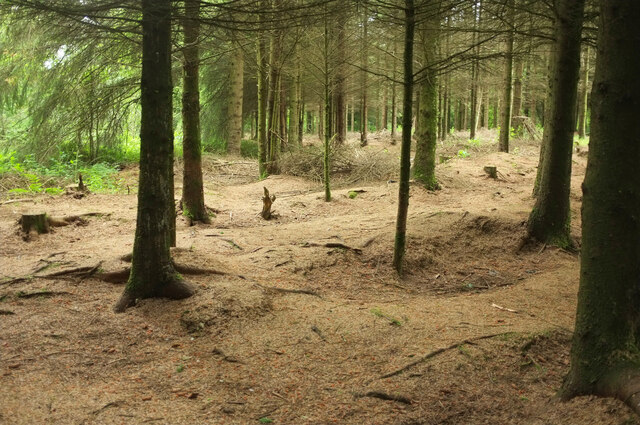
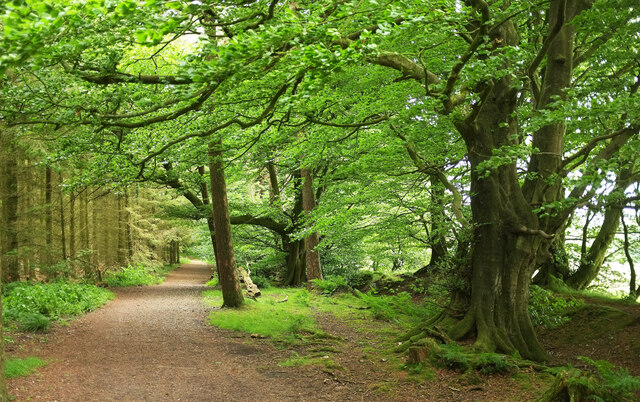
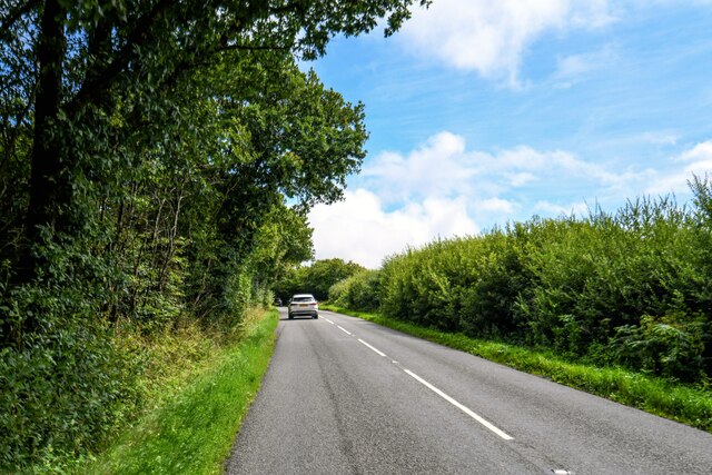
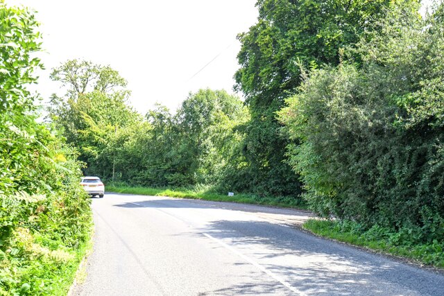
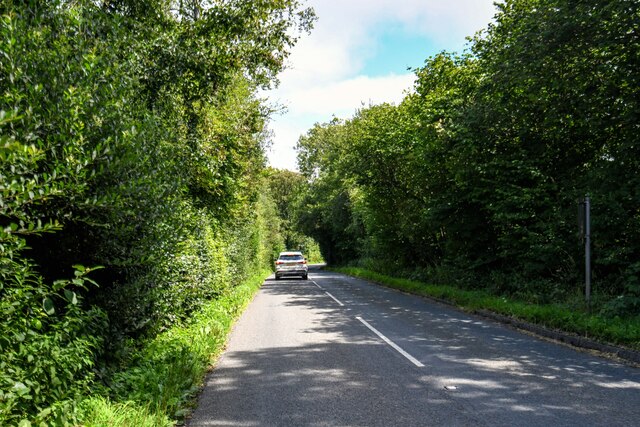
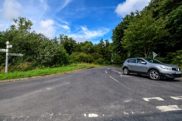
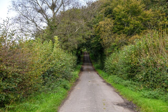
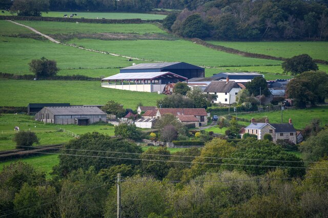
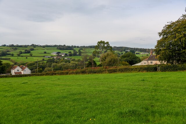
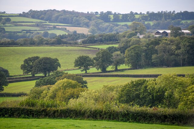
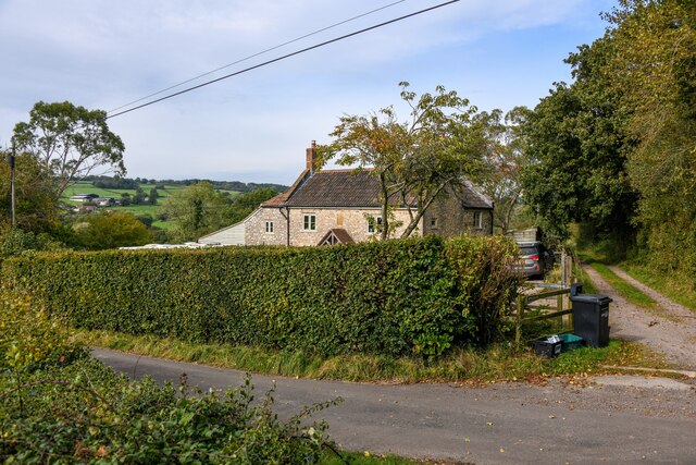
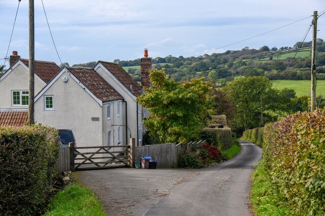
Britty Common is a picturesque woodland area located in Somerset, England. Covering an area of approximately 100 hectares, it is situated near the village of Britty, making it easily accessible to both locals and tourists. The common is characterized by its dense forest, filled with a variety of trees, including oak, beech, and birch.

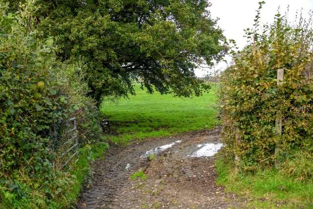
Walking through Britty Common, visitors are greeted by a serene atmosphere and an abundance of natural beauty. The woodland floor is covered with a thick carpet of moss and ferns, creating a lush green landscape. The tranquil setting makes it a popular spot for nature lovers, hikers, and photographers.

The common is also home to a diverse range of wildlife, providing a haven for various species. Birdwatchers can spot a variety of birds, including woodpeckers, owls, and songbirds. Squirrels, badgers, and deer are also commonly seen roaming the area.

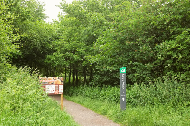
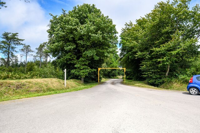
In addition to its natural beauty, Britty Common offers several amenities for visitors to enjoy. There are well-maintained footpaths and trails, allowing visitors to explore the woodland at their own pace. Picnic areas and benches are scattered throughout the common, providing opportunities for relaxation and enjoying the scenery.

Overall, Britty Common is a charming woodland area in Somerset that offers a tranquil escape from the hustle and bustle of daily life. With its diverse flora and fauna, it is a haven for nature enthusiasts and a must-visit destination for those seeking a peaceful retreat.

If you have any feedback on the listing, please let us know in the comments section below.

Britty Common Images

Images are sourced within 2km of 50.934882/-3.0564316 or Grid Reference ST2515. Thanks to Geograph Open Source API. All images are credited.

Start of Loop Walk, Staple Hill The signs have changed since <a href="https://www.geograph.org.uk/photo/4778373">ST2415 : Viewpoint walk on Staple Hill</a> was taken at the eastern corner of the car park. And it may have changed from midwinter to June, but it's steadily drizzling.
Start of Loop Walk, Staple Hill
The signs have changed since ST2415 : Viewpoint walk on Staple Hill was taken at the eastern corner of the car park. And it may have changed from midwinter to June, but it's steadily drizzling.
Conifers, Staple Hill Beside the Loop Walk at the Forestry England site.
Conifers, Staple Hill
Beside the Loop Walk at the Forestry England site.
Path, Staple Hill Broadleaves have been retained along the edge of the conifer plantation.
Path, Staple Hill
Broadleaves have been retained along the edge of the conifer plantation.
Staple Fitzpaine : Neroche Road Looking along Neroche Road.
Staple Fitzpaine : Neroche Road
Looking along Neroche Road.
Staple Fitzpaine : Neroche Road Looking along Neroche Road.
Staple Fitzpaine : Neroche Road
Looking along Neroche Road.
Staple Fitzpaine : Car Park Entrance Looking towards the entrance to the car park.
Staple Fitzpaine : Car Park Entrance
Looking towards the entrance to the car park.
Staple Fitpaine : Castlemain Looking along the road.
Staple Fitpaine : Castlemain
Looking along the road.
Staple Fitpaine : Castlemain Looking along Castlemain.
Staple Fitpaine : Castlemain
Looking along Castlemain.
Curland : Road A road off Castlemain.
Curland : Road
A road off Castlemain.
Buckland St Mary : Pound Lane Looking along Pound Lane.
Buckland St Mary : Pound Lane
Looking along Pound Lane.
Buckland St Mary : Field Entrance Entry to the field and right of way off Pound Lane.
Buckland St Mary : Field Entrance
Entry to the field and right of way off Pound Lane.
Buckland St Mary : Countryside Scenery Looking towards Higher Blindmoor Farm.
Buckland St Mary : Countryside Scenery
Looking towards Higher Blindmoor Farm.
Buckland St Mary : Grassy Field A field with a right of way through it.
Buckland St Mary : Grassy Field
A field with a right of way through it.
Buckland St Mary : Countryside Scenery Looking out across the countryside.
Buckland St Mary : Countryside Scenery
Looking out across the countryside.
Buckland St Mary : Pound Lane Pound Lane with Little Thatch in view.
Buckland St Mary : Pound Lane
Pound Lane with Little Thatch in view.
Buckland St Mary : Pound Lane Pound Lane passing Paddock Cottage.
Buckland St Mary : Pound Lane
Pound Lane passing Paddock Cottage.
Buckland St Mary : Pound Lane Looking along Pound Lane.
Buckland St Mary : Pound Lane
Looking along Pound Lane.
Buckland St Mary : Pound Lane Passing Stonebyres and Rowsell Cottage.
Buckland St Mary : Pound Lane
Passing Stonebyres and Rowsell Cottage.
Show me another place!

Britty Common is located at Grid Ref: ST2515 (Lat: 50.934882, Lng: -3.0564316)

Administrative County: Somerset

District: Somerset West and Taunton

Police Authority: Avon and Somerset

What 3 Words

///shifters.topics.march. Near Taunton, Somerset

Nearby Locations

Britty Common

Related Wikis

Ruttersleigh

Ruttersleigh (grid reference ST250165) is a 97 hectares (240 acres) biological Site of Special Scientific Interest between Buckland St Mary and Staple...

Castle Neroche

Castle Neroche is a Norman motte-and-bailey castle on the site of an earlier hill fort in the parish of Curland, near Staple Fitzpaine, Somerset, England...

All Saints Church, Curland

All Saints Church is a former Church of England parish church in Curland, Somerset, England. Designed by Benjamin Ferrey, it was built in 1855–56 to replace...

Staple Hill (Somerset)

Staple Hill is a hill in the English county of Somerset, the highest point in the Blackdown Hills. It is classed as both a Marilyn and a Hardy.This is...

Deadman SSSI, Somerset

Deadman (grid reference ST234156) is a 28.8 hectare (71.2 acre) biological Site of Special Scientific Interest on the edge of the Blackdown Hills, near...

Church of St Mary, Buckland St Mary

The Anglican Church of St Mary in Buckland St Mary, Somerset, England was built in 1853-1863. It is a Grade II* listed building. == History == The church...

Buckland St Mary

Buckland St Mary is a village and parish in Somerset, England, situated 6 miles (9.7 km) to the west of Ilminster and 8 miles (12.9 km) south of Taunton...

Curland

Curland is a village and civil parish in Somerset, England, situated 6 miles (9.7 km) south of Taunton. The village has a population of 225. The parish...

Nearby Amenities

Located within 500m of 50.934882,-3.0564316
Give Way
Lat/Long: 50.9327433/-3.0525393
Give Way
Lat/Long: 50.932849/-3.0578444
Power: pole
Source: bing
Lat/Long: 50.9313753/-3.0528769
Power: pole
Source: bing
Lat/Long: 50.9312232/-3.0539538
Power: pole
Source: bing
Lat/Long: 50.9314683/-3.055248
Power: pole
Source: bing
Transformer: distribution
Lat/Long: 50.9319399/-3.0577236
Power: pole
Source: bing
Lat/Long: 50.9317075/-3.0565032
Power: pole
Source: bing
Transformer: distribution
Lat/Long: 50.933507/-3.0627903
The data included in this document is from www.openstreetmap.org. The data is made available under ODbL.

Have you been to Britty Common?

Leave your review of Britty Common below (or comments, questions and feedback).