Ashcombe Copse
Wood, Forest in Devon East Devon
England
Ashcombe Copse

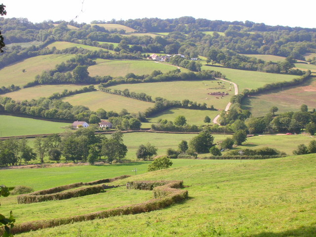
Ashcombe Copse is a picturesque woodland located in the county of Devon, England. Spanning an area of approximately 50 acres, this enchanting copse is known for its diverse ecosystem and tranquil atmosphere. It is situated near the village of Ashcombe, just a few miles away from the bustling town of Dawlish.
The copse is predominantly composed of deciduous trees, such as oak, beech, and ash, which create a rich and vibrant canopy during the warmer months. These trees provide a habitat for a wide range of wildlife, including songbirds, squirrels, and various species of insects. Additionally, the copse is home to a small stream that meanders through the woodland, adding to its natural beauty and attracting an array of aquatic creatures.
Visitors to Ashcombe Copse can enjoy a network of well-maintained footpaths that wind through the woodland, allowing for peaceful walks and nature exploration. The copse is particularly popular in the spring, when the forest floor becomes adorned with a carpet of bluebells, creating a breathtaking sight.
The management of Ashcombe Copse is overseen by the local conservation authority, who ensure the preservation of its natural beauty and biodiversity. They also organize educational activities and guided tours, providing visitors with an opportunity to learn more about the copse's unique ecosystem and the importance of woodland conservation.
Overall, Ashcombe Copse is a captivating woodland that offers a haven of tranquility and natural beauty. Its diverse wildlife, scenic trails, and vibrant flora make it a must-visit destination for nature enthusiasts and those seeking solace in the great outdoors.
If you have any feedback on the listing, please let us know in the comments section below.
Ashcombe Copse Images
Images are sourced within 2km of 50.807138/-3.0566977 or Grid Reference ST2501. Thanks to Geograph Open Source API. All images are credited.


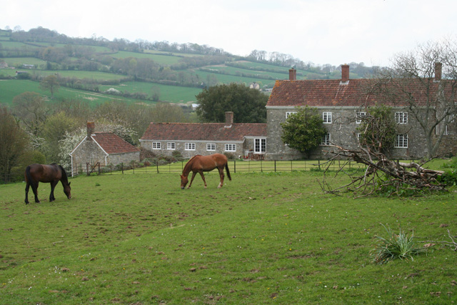
![Membury: nearing Waterhouse Farm On the public footpath from Case Bridge. Looking south-south-east. The farmhouse dates from the 16th century, according to W G Hoskins [W G Hoskins, Devon, Devon Books, 1992]](https://s3.geograph.org.uk/photos/16/15/161519_4574f6ed.jpg)


Ashcombe Copse is located at Grid Ref: ST2501 (Lat: 50.807138, Lng: -3.0566977)
Administrative County: Devon
District: East Devon
Police Authority: Devon and Cornwall
What 3 Words
///cherubs.relishes.audio. Near Axminster, Devon
Nearby Locations
Related Wikis

Dalwood
Dalwood is a village and county parish in the East Devon district of the English county of Devon. It is approximately 3 miles (4.8 km) away from the nearest...

Loughwood Meeting House
Loughwood Meeting House is a historic Baptist chapel, 1 mile (1.6 km) south of the village of Dalwood, Devon in England. There was a meeting house on...
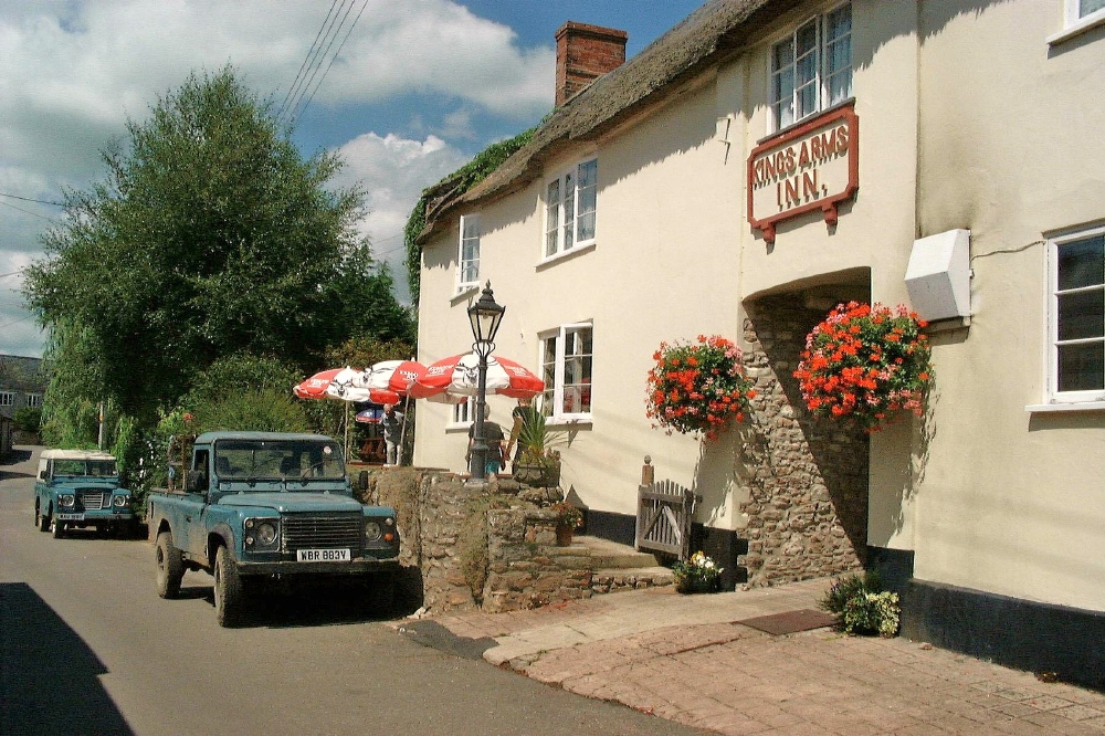
Membury, Devon
Membury is a village three miles north west of Axminster in East Devon district. The population at the 2011 Census was 501.The village has a 13th-century...

Membury Castle
Membury Castle is an Iron Age hillfort situated above the village of Membury in Devon. The fort occupies a commanding hilltop position some 204 metres...
Stockland Castle
Stockland Castle is the name given to two Iron Age hill forts on Stockland Hill close to Stockland in Devon, England. Stockland Great Castle (50.8178°N...
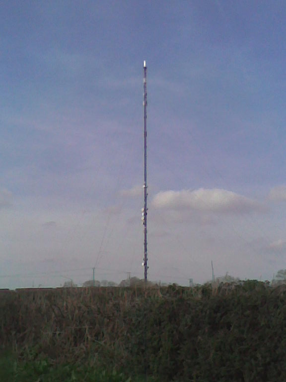
Stockland Hill transmitting station
The Stockland Hill transmitting station is a transmitting facility of FM Radio and UHF television located near Honiton, Devon, England. This transmitter...
Stockland, Devon
Stockland is a village and civil parish in Devon, close to the Somerset boundary. The parish is surrounded clockwise from the north by the parishes of...

Wilmington, Devon
Wilmington is a village between Axminster and Honiton in East Devon on the A35 road.The entire village is now in the parish of Widworthy, although this...
Nearby Amenities
Located within 500m of 50.807138,-3.0566977Have you been to Ashcombe Copse?
Leave your review of Ashcombe Copse below (or comments, questions and feedback).