Beadon's Copse
Wood, Forest in Somerset Somerset West and Taunton
England
Beadon's Copse

Beadon's Copse is a charming woodland located in Somerset, England. Spanning an area of approximately 20 acres, this ancient forest is a haven for nature enthusiasts and those seeking a tranquil escape from the bustling city life.
The copse is characterized by its diverse range of tree species, including oak, beech, and ash, which create a lush and vibrant canopy overhead. The forest floor is adorned with an array of wildflowers, ferns, and mosses, adding to the enchanting atmosphere of the wood.
Beadon's Copse is home to a variety of wildlife, providing a sanctuary for numerous species. Visitors may be fortunate enough to spot deer, foxes, badgers, and a plethora of bird species, including woodpeckers and owls. The copse also houses a small pond, which attracts amphibians and insects, further enriching the biodiversity of the area.
For outdoor enthusiasts, the copse offers various walking trails, allowing visitors to explore the natural beauty of the forest at their own pace. The serenity of the surroundings provides an ideal setting for nature walks, picnics, and photography.
Due to its historical significance, Beadon's Copse is protected as a Site of Special Scientific Interest. It is believed that the copse has existed for centuries, with records dating back to the Domesday Book in the 11th century. The ancient woodland is highly valued for its ecological importance and natural beauty, attracting visitors from far and wide.
If you have any feedback on the listing, please let us know in the comments section below.
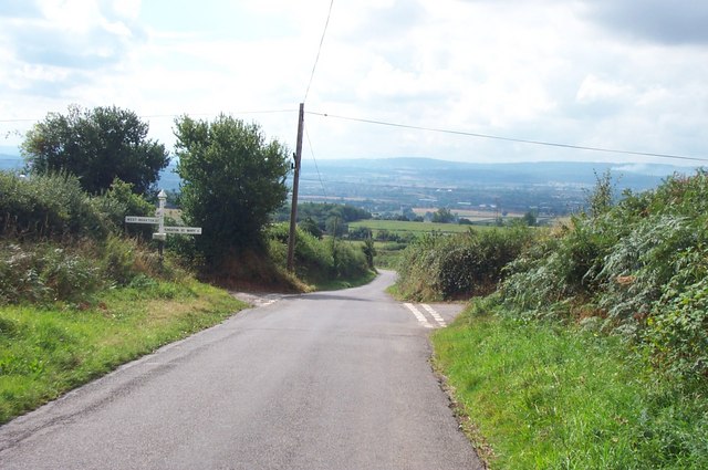
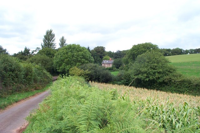
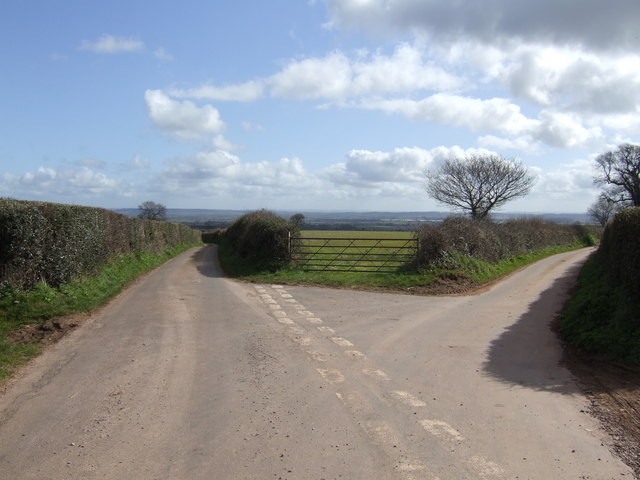
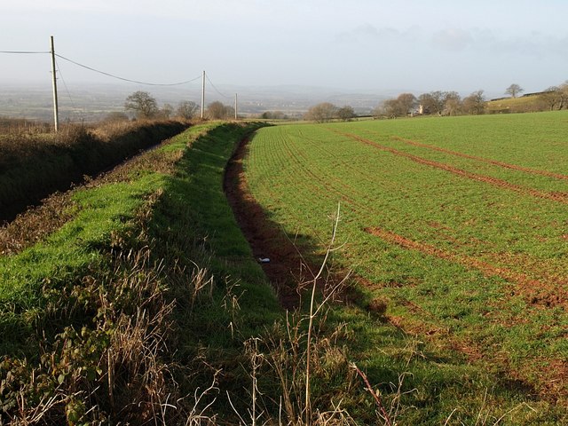
Beadon's Copse Images
Images are sourced within 2km of 51.058401/-3.0705992 or Grid Reference ST2529. Thanks to Geograph Open Source API. All images are credited.


Beadon's Copse is located at Grid Ref: ST2529 (Lat: 51.058401, Lng: -3.0705992)
Administrative County: Somerset
District: Somerset West and Taunton
Police Authority: Avon and Somerset
What 3 Words
///fluctuate.suspended.orchestra. Near Creech St Michael, Somerset
Nearby Locations
Related Wikis

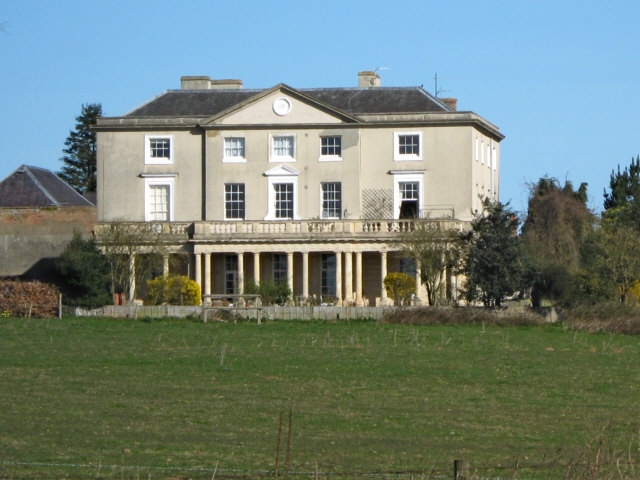
Hestercombe House
Hestercombe House is a historic country house in the parish of West Monkton in the Quantock Hills, near Taunton in Somerset, England. The house is a Grade...
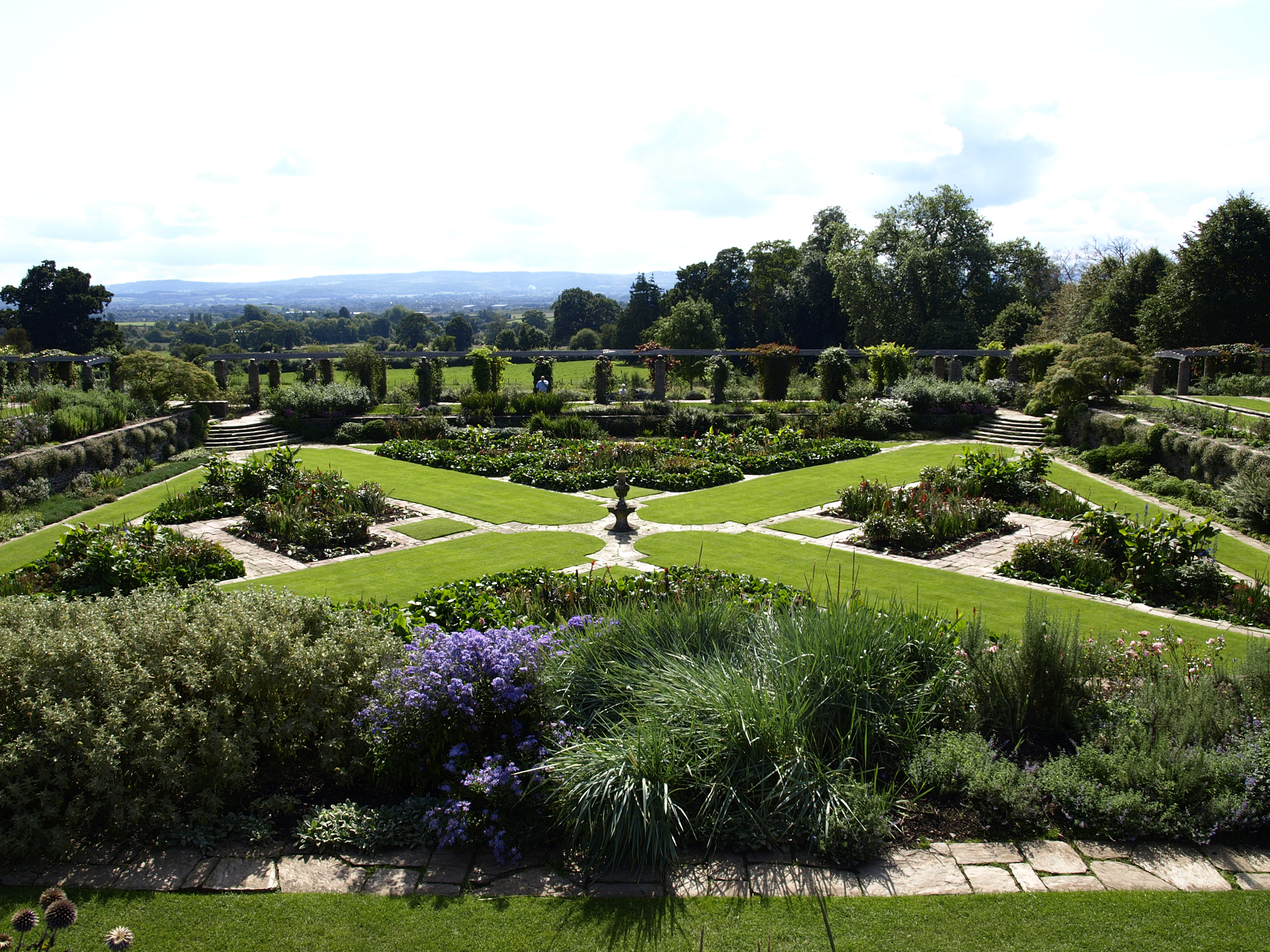
Hestercombe Gardens
Hestercombe Gardens is a garden complex situated on the grounds of Hestercombe House in the southwestern English county of Somerset. The entire garden...

Harold Redler
Lieutenant Harold Bolton Redler (27 January 1897 – 21 June 1918) was a British World War I flying ace credited with ten aerial victories. His most notable...
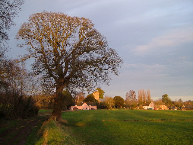
Cheddon Fitzpaine
Cheddon Fitzpaine is a village and civil parish in Somerset, England, situated on the Quantock Hills 2 miles (3.2 km) north of Taunton. The village is...

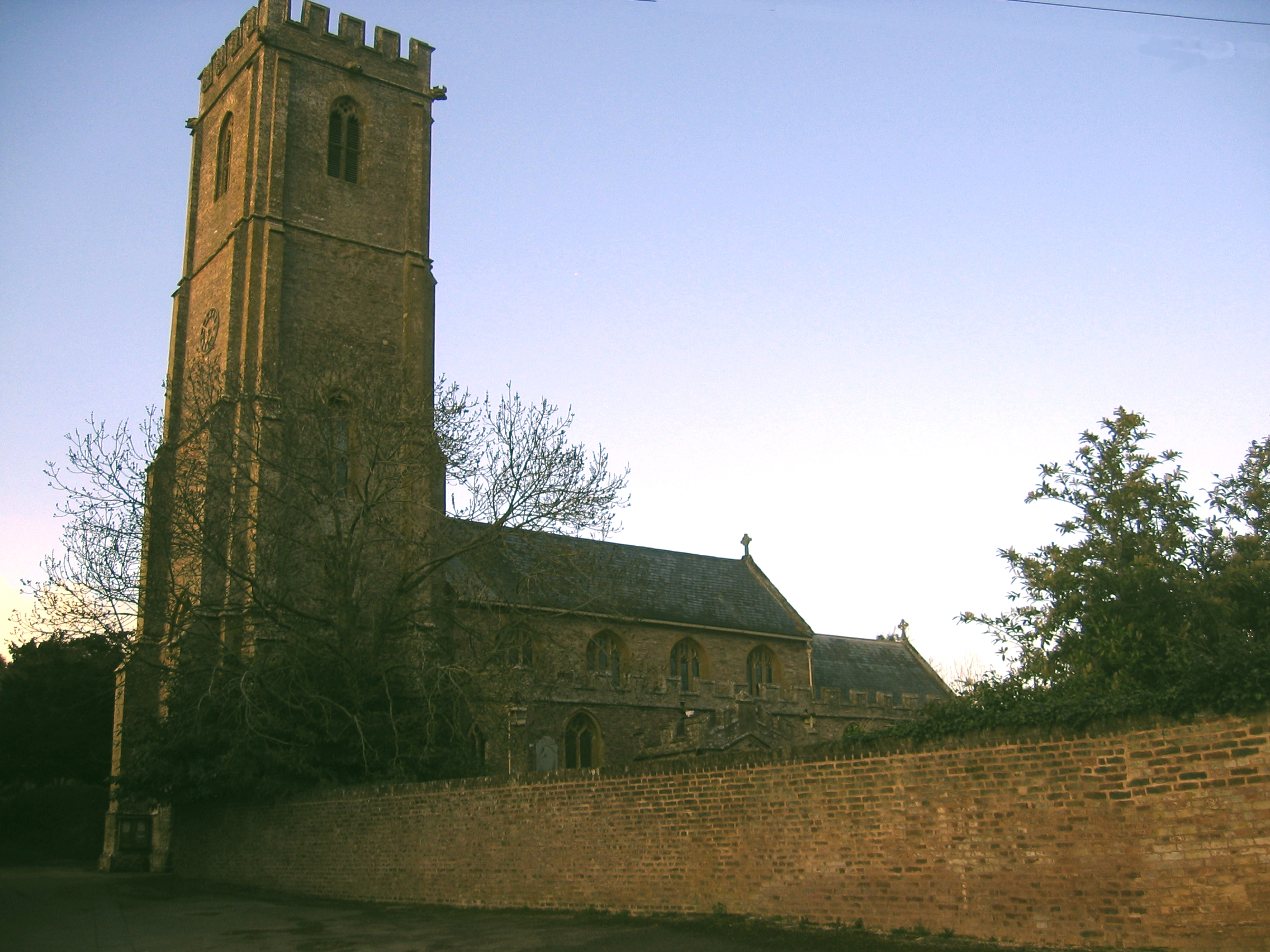
Church of St Mary, Cheddon Fitzpaine
The Anglican Church of St Mary in Cheddon Fitzpaine, Somerset, England was built in the late 13th century. It is a Grade II* listed building. == History... ==
West Monkton
West Monkton is a village and civil parish in Somerset, England, situated 2 miles (3.2 km) north east of Taunton. The parish includes the hamlets of Monkton...
Walford, Somerset
Walford is a small village 3 miles (5 km) north east of Taunton in Somerset, England. Most of the village, including Walford Cross at the junction of...
Kingston St Mary
Kingston St Mary is a village and parish in Somerset, England, situated at the southern end of the Quantock Hills 4 miles (6.4 km) north of Taunton. The...
Nearby Amenities
Located within 500m of 51.058401,-3.0705992Have you been to Beadon's Copse?
Leave your review of Beadon's Copse below (or comments, questions and feedback).