Orchard Wood
Wood, Forest in Somerset Somerset West and Taunton
England
Orchard Wood
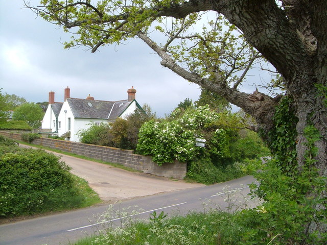
Orchard Wood is a picturesque forest located in Somerset, England. Spanning over a vast area of land, the wood is known for its abundant orchards, dense foliage, and diverse wildlife. It is a popular destination for nature enthusiasts, hikers, and birdwatchers.
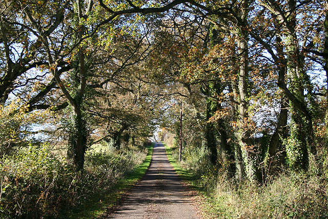
The forest is characterized by its tall oak and beech trees that create a dense canopy, providing shade and shelter for a wide variety of flora and fauna. The wood is home to a rich assortment of plant species, including bluebells, foxgloves, and wild garlic, which create a vibrant display of colors during the spring and summer months.
The wildlife in Orchard Wood is equally diverse. Visitors can spot numerous bird species, such as woodpeckers, owls, and thrushes, as well as small mammals like squirrels and rabbits. The forest is also known to host occasional deer sightings, adding to its natural beauty.
Trails and footpaths wind through the wood, allowing visitors to explore its hidden gems. Whether taking a leisurely stroll or embarking on a more challenging hike, individuals can enjoy the peaceful ambiance and breathtaking views that Orchard Wood has to offer.
Additionally, the forest is equipped with picnic areas and benches, providing visitors with the opportunity to relax and enjoy a meal amidst nature. It is a perfect spot for families, couples, and individuals seeking a tranquil escape from the hustle and bustle of everyday life.
Overall, Orchard Wood in Somerset is a haven for nature lovers, offering a serene environment, stunning landscapes, and a chance to immerse oneself in the beauty of the natural world.
If you have any feedback on the listing, please let us know in the comments section below.
Orchard Wood Images
Images are sourced within 2km of 50.977152/-3.0697263 or Grid Reference ST2420. Thanks to Geograph Open Source API. All images are credited.


Orchard Wood is located at Grid Ref: ST2420 (Lat: 50.977152, Lng: -3.0697263)
Administrative County: Somerset
District: Somerset West and Taunton
Police Authority: Avon and Somerset
What 3 Words
///theory.enveloped.spite. Near Taunton, Somerset
Nearby Locations
Related Wikis
Orchard Portman
Orchard Portman is a village and civil parish in Somerset, England, situated 2 miles (3.2 km) south of Taunton. The village has a population of 150.The...
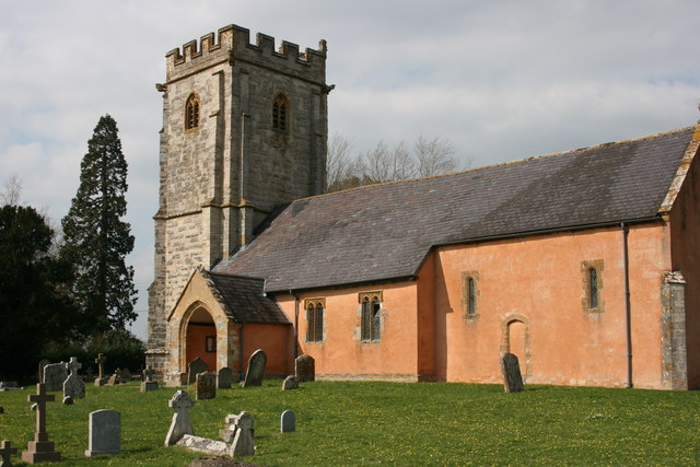
Church of St Thomas, Thurlbear
The Church of St Thomas in the village of Thurlbear, which is in the parish of Orchard Portman, Somerset, England, dates from the 12th century. It has...

St Michael's Church, Orchard Portman
The Anglican Church of St Michael in Orchard Portman, Somerset, England, dates from the Norman period. It is a Grade II* listed building. == History... ==

Corfe
Corfe is a village and civil parish in Somerset, England, situated below the Blackdown Hills 4 miles (6.4 km) south of Taunton. The village has a population...

Taunton Racecourse
Taunton Racecourse is a thoroughbred horse racing venue located in Orchard Portman, two miles south of Taunton, Somerset, England. Opened in 1927, Taunton...

Church of St Nicholas, Corfe
The Anglican Church of St Nicholas in Corfe, Somerset, England was built in the Norman period and rebuilt in 1842. It is a Grade II* listed building....
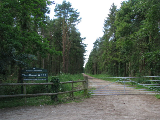
Thurlbear Wood and Quarrylands
Thurlbear Wood and Quarrylands (grid reference ST270210) is a 26.7 hectare (65.8 acre) biological Site of Special Scientific Interest south of Stoke St...

Staple Fitzpaine
Staple Fitzpaine is a village and civil parish in Somerset, England, situated 5 miles (8.0 km) south of Taunton. The village has a population of 189 and...
Have you been to Orchard Wood?
Leave your review of Orchard Wood below (or comments, questions and feedback).