Higher Shute's Copse
Wood, Forest in Somerset Somerset West and Taunton
England
Higher Shute's Copse
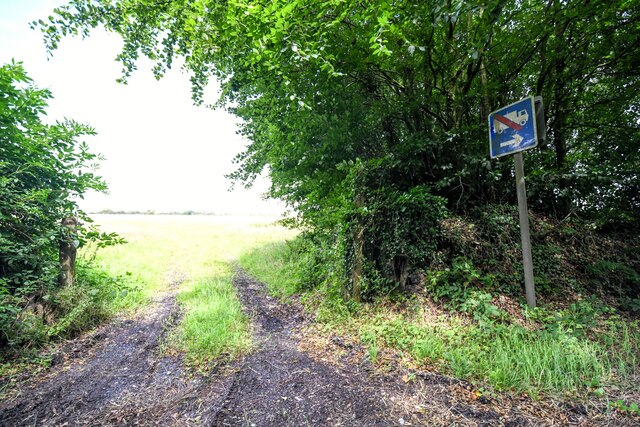
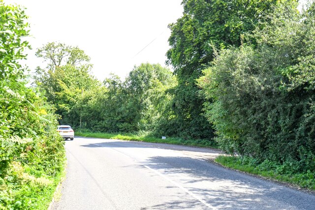
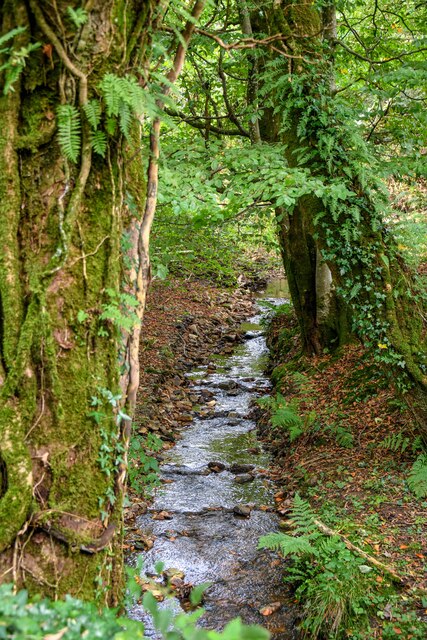
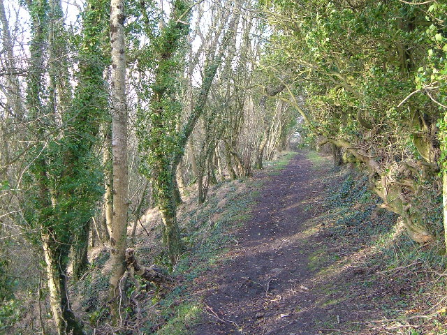
Higher Shute's Copse is a picturesque woodland located in Somerset, a county in southwest England. This enchanting copse covers an area of approximately 50 acres and is situated in close proximity to the village of Shute's Copse.
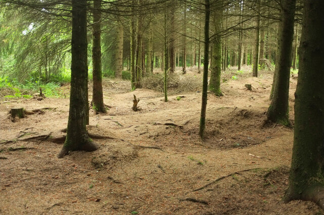
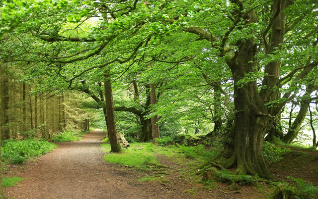
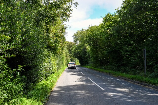
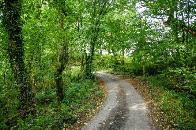
The copse is characterized by its diverse range of tree species, including oak, beech, and ash. These majestic trees form a dense canopy that provides shade and shelter to a variety of flora and fauna. The woodland floor is adorned with a vibrant carpet of wildflowers, adding to its natural beauty.
Higher Shute's Copse is a haven for wildlife, with numerous species finding refuge in its tranquil surroundings. It is home to a rich variety of bird species, including woodpeckers, owls, and songbirds. Small mammals such as badgers, foxes, and rabbits can also be spotted within the copse, while butterflies and bees are attracted to the abundant wildflowers.
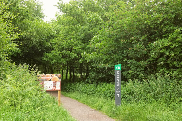
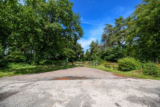
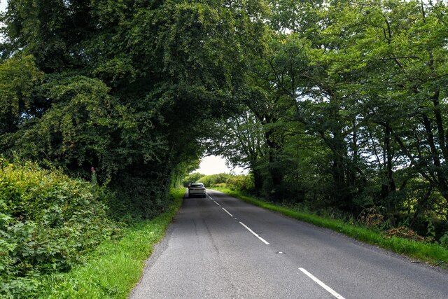
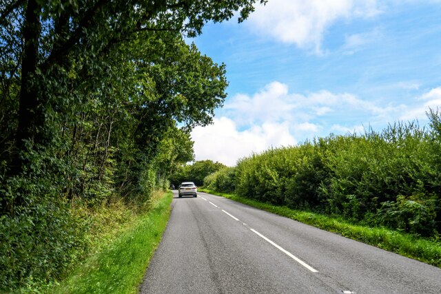
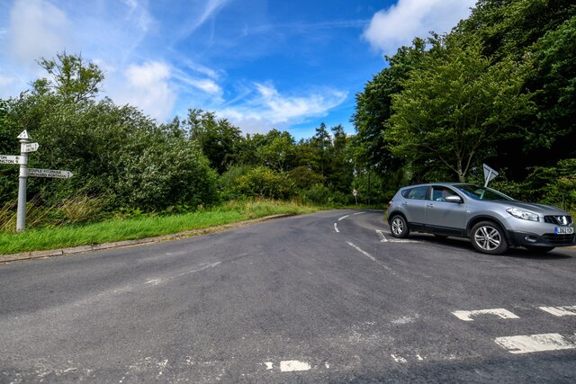
The copse offers a serene and peaceful environment, making it a popular destination for nature enthusiasts and walkers. There are well-maintained footpaths that meander through the copse, allowing visitors to explore its hidden corners and appreciate its scenic beauty.
Higher Shute's Copse is not only a natural treasure but also holds historical significance. It is believed to have been a part of the ancient Selwood Forest, which played a vital role in Somerset's history. Today, it stands as a testament to the region's rich natural heritage and provides a tranquil retreat for those seeking solace in nature.
If you have any feedback on the listing, please let us know in the comments section below.
Higher Shute's Copse Images
Images are sourced within 2km of 50.944882/-3.0692984 or Grid Reference ST2416. Thanks to Geograph Open Source API. All images are credited.


Higher Shute's Copse is located at Grid Ref: ST2416 (Lat: 50.944882, Lng: -3.0692984)
Administrative County: Somerset
District: Somerset West and Taunton
Police Authority: Avon and Somerset
What 3 Words
///fuse.forever.matchbox. Near Taunton, Somerset
Nearby Locations
Related Wikis

Ruttersleigh
Ruttersleigh (grid reference ST250165) is a 97 hectares (240 acres) biological Site of Special Scientific Interest between Buckland St Mary and Staple...

Staple Hill (Somerset)
Staple Hill is a hill in the English county of Somerset, the highest point in the Blackdown Hills. It is classed as both a Marilyn and a Hardy.This is...

Deadman SSSI, Somerset
Deadman (grid reference ST234156) is a 28.8 hectare (71.2 acre) biological Site of Special Scientific Interest on the edge of the Blackdown Hills, near...

Staple Fitzpaine
Staple Fitzpaine is a village and civil parish in Somerset, England, situated 5 miles (8.0 km) south of Taunton. The village has a population of 189 and...

All Saints Church, Curland
All Saints Church is a former Church of England parish church in Curland, Somerset, England. Designed by Benjamin Ferrey, it was built in 1855–56 to replace...
William Portman Almshouses
The William Portman Almshouses in Staple Fitzpaine, Somerset, England was built in 1643. It is a Grade II* listed building. == History == The almshouses...
Prior's Park & Adcombe Wood
Prior's Park & Adcombe Wood (grid reference ST225170) is a 103.6 hectare (256.0 acre) biological Site of Special Scientific Interest south of Pitminster...

Castle Neroche
Castle Neroche is a Norman motte-and-bailey castle on the site of an earlier hill fort in the parish of Curland, near Staple Fitzpaine, Somerset, England...
Have you been to Higher Shute's Copse?
Leave your review of Higher Shute's Copse below (or comments, questions and feedback).