Back Rigg Wood

Wood, Forest in Lancashire South Lakeland

England

Back Rigg Wood

A595 at Ellermire Bridge
A595 at Ellermire Bridge Credit: Colin Pyle

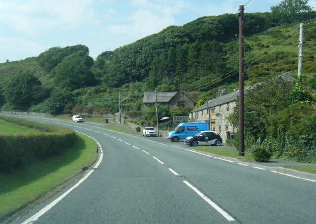
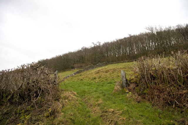
Back Rigg Wood is a stunning woodland located in the county of Lancashire, England. Situated in the picturesque countryside, it covers an area of approximately 100 acres and is known for its diverse range of flora and fauna. The wood is managed by the local Forestry Commission and is a popular destination for nature lovers and outdoor enthusiasts.

The wood is predominantly composed of oak, birch, and beech trees, creating a beautiful canopy that provides shade and shelter for the various wildlife species that inhabit the area. Bluebells, primroses, and wild garlic are just some of the wildflowers that carpet the forest floor during springtime, adding bursts of color to the landscape.

Back Rigg Wood is also home to a wide array of wildlife. Visitors may spot red squirrels, badgers, and foxes roaming freely among the trees, while birdwatchers will appreciate the diverse bird species that can be seen, including woodpeckers, owls, and various songbirds. The wood is also an important habitat for several bat species, with their distinctive calls often filling the air during the evening hours.

The woodland offers a network of well-maintained trails, allowing visitors to explore its beauty on foot. These trails vary in difficulty and length, catering to both casual strollers and more adventurous hikers. Along the way, benches and picnic areas provide opportunities to rest and take in the tranquil surroundings.

Overall, Back Rigg Wood is a captivating natural haven that offers a peaceful escape from the hustle and bustle of everyday life. Its rich biodiversity and scenic landscapes make it a must-visit destination for anyone seeking to immerse themselves in the beauty of Lancashire's woodlands.

If you have any feedback on the listing, please let us know in the comments section below.

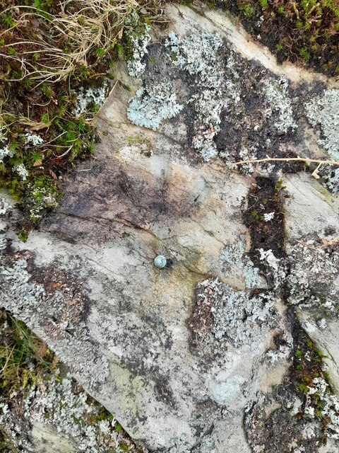
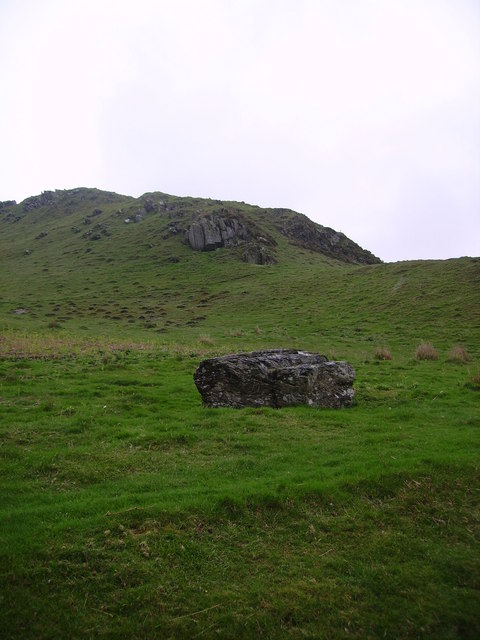
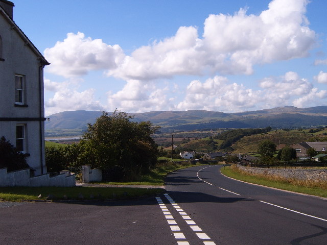
Back Rigg Wood Images

Images are sourced within 2km of 54.26609/-3.1577033 or Grid Reference SD2486. Thanks to Geograph Open Source API. All images are credited.
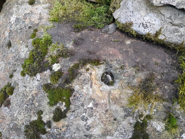
A595 at Ellermire Bridge
Wreaks Causeway End Bridge over Kirkby Pool Wreaks Causeway End Bridge carrying the A595.
Listed Building entry number 1138084. Grade II.
Listing includes carvings on the coping stones of the parapets.
<span class="nowrap"><a title="https://historicengland.org.uk/listing/the-list/list-entry/1138084?section=official-listing" rel="nofollow ugc noopener" href="https://historicengland.org.uk/listing/the-list/list-entry/1138084?section=official-listing">Link</a><img style="margin-left:2px;" alt="External link" title="External link - shift click to open in new window" src="https://s1.geograph.org.uk/img/external.png" width="10" height="10"/></span>
Wreaks Causeway End Bridge over Kirkby Pool
Wreaks Causeway End Bridge carrying the A595. Listed Building entry number 1138084. Grade II. Listing includes carvings on the coping stones of the parapets. LinkExternal link
Carved words on Wreaks Causeway End Bridge Wreaks Causeway End Bridge carrying the A595.
Listed Building entry number 1138084. Grade II.
Listing includes carvings on the coping stones of the parapets.
<span class="nowrap"><a title="https://historicengland.org.uk/listing/the-list/list-entry/1138084?section=official-listing" rel="nofollow ugc noopener" href="https://historicengland.org.uk/listing/the-list/list-entry/1138084?section=official-listing">Link</a><img style="margin-left:2px;" alt="External link" title="External link - shift click to open in new window" src="https://s1.geograph.org.uk/img/external.png" width="10" height="10"/></span>

"Do not stop long at the fair". One of many carvings on the parapets. Many of the stones have been damaged, presumably during bridge widening. Other carvings include "Yellow for ever", "Be kind to the poor", "A sensible man wont offend me and no other can", "Forget me not", "Happy land", "England for ever", "I can paddle my own canoe", "Tomorrow may be silent", "Thomas Dawson post messenger arrives [6 10 a m]".
Carved words on Wreaks Causeway End Bridge
Wreaks Causeway End Bridge carrying the A595. Listed Building entry number 1138084. Grade II. Listing includes carvings on the coping stones of the parapets. LinkExternal link "Do not stop long at the fair". One of many carvings on the parapets. Many of the stones have been damaged, presumably during bridge widening. Other carvings include "Yellow for ever", "Be kind to the poor", "A sensible man wont offend me and no other can", "Forget me not", "Happy land", "England for ever", "I can paddle my own canoe", "Tomorrow may be silent", "Thomas Dawson post messenger arrives [6 10 a m]".
Moorhouse Farm After a generally dull day, a burst of afternoon sunshine picks out the fells beyond Moorhouse Farm.
Moorhouse Farm
After a generally dull day, a burst of afternoon sunshine picks out the fells beyond Moorhouse Farm.
Ordnance Survey Flush Bracket (G2834) This OS Flush Bracket can be found on the north buttress of Wreaks Causeway Bridge. It marks a point 6.471m above mean sea level.
Ordnance Survey Flush Bracket (G2834)
This OS Flush Bracket can be found on the north buttress of Wreaks Causeway Bridge. It marks a point 6.471m above mean sea level.
Remains of OSBM Bolt The hole and remains of bolt thread can be found on a large boulder in field wall. It marked a point 170.505m above mean sea level.
Remains of OSBM Bolt
The hole and remains of bolt thread can be found on a large boulder in field wall. It marked a point 170.505m above mean sea level.
Ordnance Survey Rivet This OS rivet can be found on the wall east side of Woodlands Road. It marks a point 79.376m above mean sea level.
Ordnance Survey Rivet
This OS rivet can be found on the wall east side of Woodlands Road. It marks a point 79.376m above mean sea level.
Ordnance Survey Rivet This OS rivet can be found on the wall west side of Woodlands Road. It marks a point 93.637m above mean sea level.
Ordnance Survey Rivet
This OS rivet can be found on the wall west side of Woodlands Road. It marks a point 93.637m above mean sea level.
Ordnance Survey Rivet This OS rivet can be found on the wall east side of Woodlands Road. It marks a point 69.758m above mean sea level.
Ordnance Survey Rivet
This OS rivet can be found on the wall east side of Woodlands Road. It marks a point 69.758m above mean sea level.
Ordnance Survey Rivet This OS rivet can be found on the rock south side of the road. It marks a point 202.140m above mean sea level.
Ordnance Survey Rivet
This OS rivet can be found on the rock south side of the road. It marks a point 202.140m above mean sea level.
Ordnance Survey Flush Bracket (S7106) This OS Flush Bracket can be found on old school building which is now a private property. It marks a point 14.673m above mean sea level.
Ordnance Survey Flush Bracket (S7106)
This OS Flush Bracket can be found on old school building which is now a private property. It marks a point 14.673m above mean sea level.
Ordnance Survey Cut Mark This OS cut mark can be found on the NE parapet of Ellermire Bridge. It marks a point 11.408m above mean sea level.
Ordnance Survey Cut Mark
This OS cut mark can be found on the NE parapet of Ellermire Bridge. It marks a point 11.408m above mean sea level.
Ordnance Survey Cut Mark This OS cut mark can be found on the house which was once the Mission Church. It marks a point 12.722m above mean sea level.
Ordnance Survey Cut Mark
This OS cut mark can be found on the house which was once the Mission Church. It marks a point 12.722m above mean sea level.
Ordnance Survey Cut Mark This OS cut mark can be found on the gatepost east side of Woodlands Road. It marks a point 34.203m above mean sea level.
Ordnance Survey Cut Mark
This OS cut mark can be found on the gatepost east side of Woodlands Road. It marks a point 34.203m above mean sea level.
Ordnance Survey Rivet This OS rivet can be found on a rock south side of the road. It marks a point 124.383m above mean sea level.
Ordnance Survey Rivet
This OS rivet can be found on a rock south side of the road. It marks a point 124.383m above mean sea level.
Ordnance Survey Cut Mark This OS cut mark can be found on a rock south side of the road. It marks a point 126.204m above mean sea level.
Ordnance Survey Cut Mark
This OS cut mark can be found on a rock south side of the road. It marks a point 126.204m above mean sea level.
Hallstead Farm
Hallstead Farm
Gateway to field Gateway to field near Black Springs Wood
Gateway to field
Gateway to field near Black Springs Wood
Show me another place!

Back Rigg Wood is located at Grid Ref: SD2486 (Lat: 54.26609, Lng: -3.1577033)

Administrative County: Cumbria

District: South Lakeland

Police Authority: Cumbria

What 3 Words

///colonies.domain.prawn. Near Ulverston, Cumbria

Related Wikis

Burney (hill)

Burney is a hill in Cumbria, England, to the north of the A5092 road between Greenodd and Broughton-in-Furness. It is the subject of a chapter of Wainwright...

Beanthwaite

Beanthwaite is a hamlet in Cumbria, England.

Kirkby Slate Quarries

Kirkby Slate Quarries, formally known as Burlington Slate Quarries, are located near Kirkby-in-Furness in Cumbria, England. The quarries have produced...

Blawith Knott

Blawith Knott is a hill in the south of the English Lake District, near Woodland, Cumbria. It is the subject of a chapter of Wainwright's book The Outlying...

Nearby Amenities

Located within 500m of 54.26609,-3.1577033
Barrier: kissing_gate
Lat/Long: 54.2694676/-3.1560213
Barrier: stile
Lat/Long: 54.2690334/-3.1532397
Barrier: cattle_grid
Lat/Long: 54.2665818/-3.1508459
Knott End
Place: locality
Lat/Long: 54.2691204/-3.1521148
Barrier: stile
Lat/Long: 54.264171/-3.1630143
Barrier: stile
Lat/Long: 54.2660315/-3.1604373
Barrier: stile
Lat/Long: 54.2687105/-3.1546846
Ford: yes
Lat/Long: 54.2656793/-3.1559412
Power: pole
Lat/Long: 54.2661269/-3.1649961
Power: pole
Lat/Long: 54.2668325/-3.163822
Power: pole
Lat/Long: 54.2673518/-3.1630287
Power: pole
Lat/Long: 54.2681306/-3.1623311
Power: pole
Lat/Long: 54.269209/-3.1614237
Power: pole
Lat/Long: 54.2681479/-3.1530388
Power: pole
Lat/Long: 54.2673571/-3.1529065
Power: pole
Lat/Long: 54.2662354/-3.1527333
Power: pole
Lat/Long: 54.2689341/-3.1599259
Power: pole
Lat/Long: 54.26854/-3.1579744
Power: pole
Lat/Long: 54.2682338/-3.156431
Power: pole
Lat/Long: 54.2681845/-3.1542425
The data included in this document is from www.openstreetmap.org. The data is made available under ODbL.

Have you been to Back Rigg Wood?

Leave your review of Back Rigg Wood below (or comments, questions and feedback).