Baker's Copse
Wood, Forest in Somerset Somerset West and Taunton
England
Baker's Copse
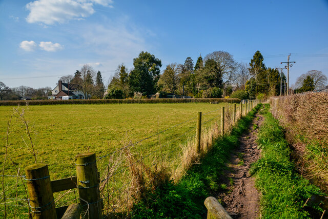
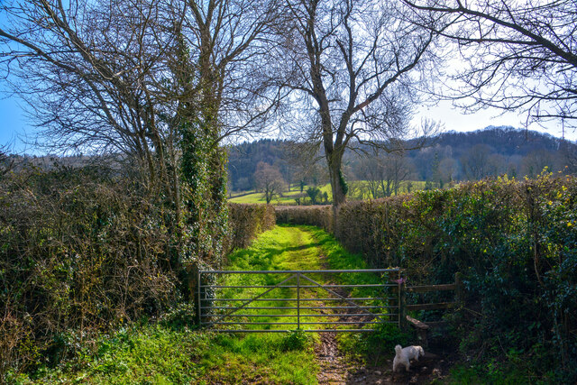
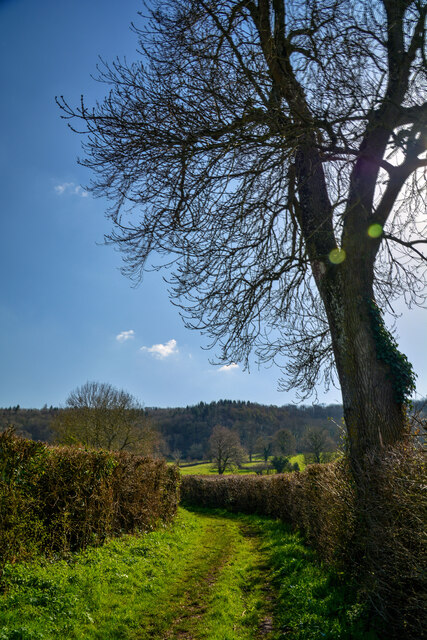
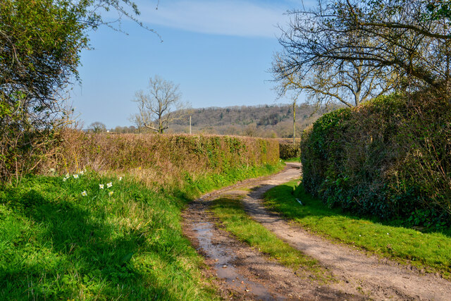
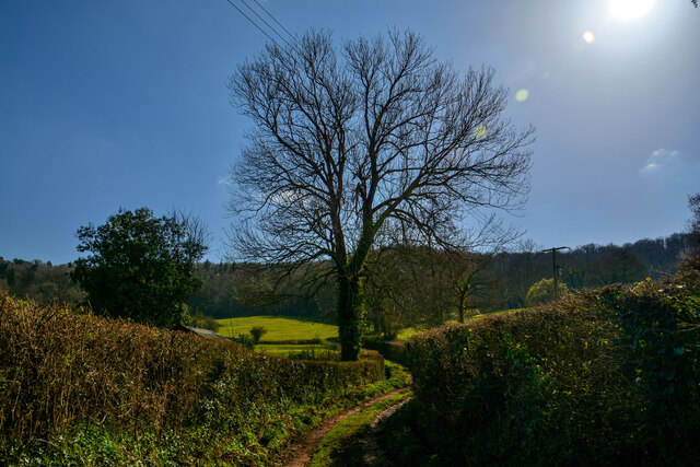
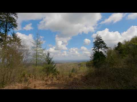
Baker's Copse is a picturesque woodland located in Somerset, England. Spanning over an area of approximately 20 acres, this enchanting forest is nestled within the rolling countryside, offering visitors a serene and tranquil retreat from the hustle and bustle of everyday life.
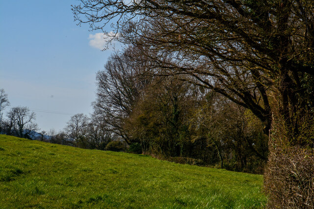
The copse is predominantly composed of native broadleaf trees, such as oak, beech, and ash, which create a diverse and rich ecosystem. These towering trees provide a dense canopy, allowing only dappled sunlight to filter through to the forest floor below. As a result, the woodland is adorned with a vibrant understory of wildflowers, ferns, and mosses, adding to its natural beauty.
Baker's Copse is also home to a variety of wildlife, making it a haven for nature enthusiasts. The forest provides a habitat for numerous bird species, including woodpeckers, owls, and warblers, which can be heard singing their melodic tunes throughout the day. Additionally, small mammals, such as squirrels and rabbits, can be spotted scurrying amongst the undergrowth.
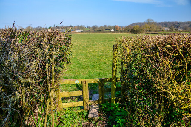
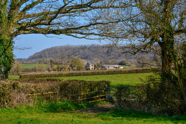
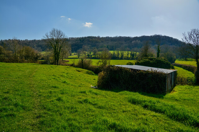
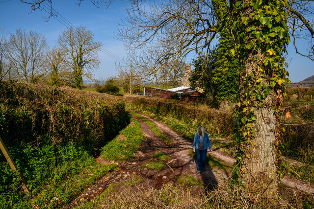
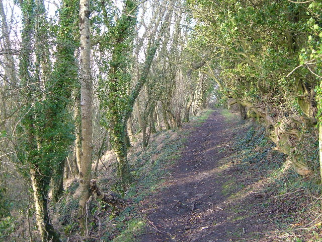
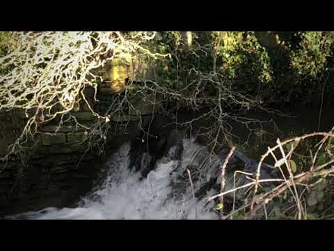
The copse is a popular destination for walkers and hikers, with a network of well-maintained trails winding through the woodland. These paths lead visitors on a journey of exploration, allowing them to discover hidden clearings, babbling brooks, and ancient trees. The peaceful ambiance and stunning scenery make Baker's Copse an ideal location for leisurely strolls, picnics, and photography.
Whether seeking solace in nature or simply wanting to immerse oneself in the beauty of the Somerset countryside, Baker's Copse offers a serene escape that is sure to leave visitors feeling refreshed and rejuvenated.
If you have any feedback on the listing, please let us know in the comments section below.
Baker's Copse Images
Images are sourced within 2km of 50.963842/-3.091265 or Grid Reference ST2318. Thanks to Geograph Open Source API. All images are credited.
Baker's Copse is located at Grid Ref: ST2318 (Lat: 50.963842, Lng: -3.091265)
Administrative County: Somerset
District: Somerset West and Taunton
Police Authority: Avon and Somerset
What 3 Words
///slacker.both.perch. Near Taunton, Somerset
Nearby Locations
Related Wikis

Corfe
Corfe is a village and civil parish in Somerset, England, situated below the Blackdown Hills 4 miles (6.4 km) south of Taunton. The village has a population...

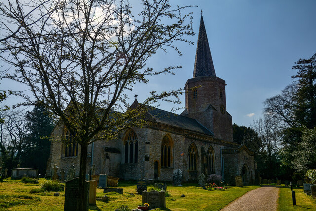
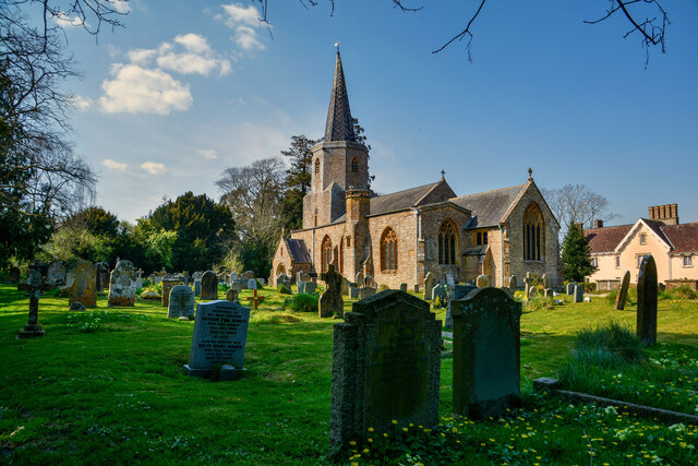
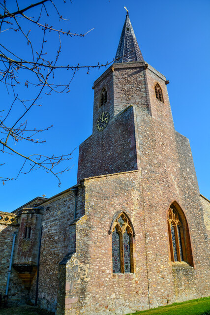
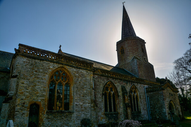
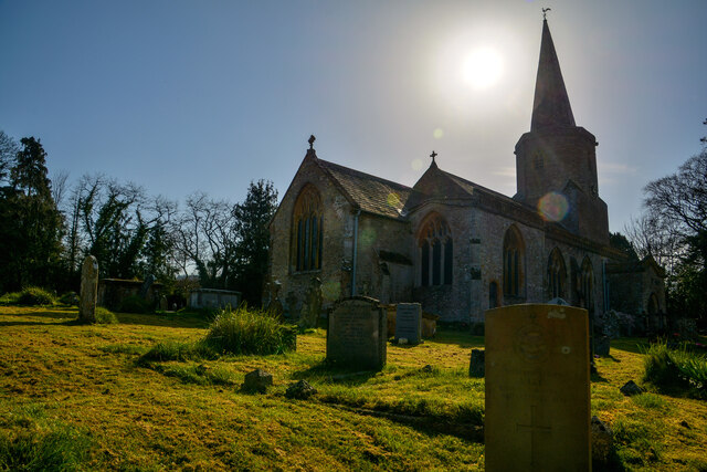
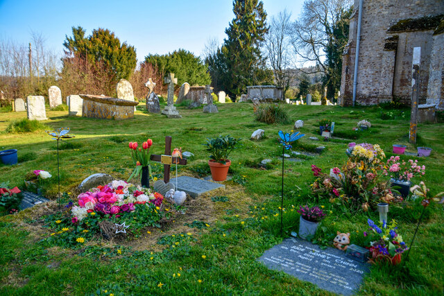
Church of St Nicholas, Corfe
The Anglican Church of St Nicholas in Corfe, Somerset, England was built in the Norman period and rebuilt in 1842. It is a Grade II* listed building....
Pitminster
Pitminster is a village and civil parish in Somerset, England, situated 4 miles (6.4 km) south of Taunton. The parish has a population of 956. The parish...

Poundisford Park
Poundisford Park north of Pitminster, Somerset, England is an English country house that typifies progressive housebuilding on the part of the West Country...
Prior's Park & Adcombe Wood
Prior's Park & Adcombe Wood (grid reference ST225170) is a 103.6 hectare (256.0 acre) biological Site of Special Scientific Interest south of Pitminster...

Staple Hill (Somerset)
Staple Hill is a hill in the English county of Somerset, the highest point in the Blackdown Hills. It is classed as both a Marilyn and a Hardy.This is...

Staple Fitzpaine
Staple Fitzpaine is a village and civil parish in Somerset, England, situated 5 miles (8.0 km) south of Taunton. The village has a population of 189 and...

Ruttersleigh
Ruttersleigh (grid reference ST250165) is a 97 hectares (240 acres) biological Site of Special Scientific Interest between Buckland St Mary and Staple...
Related Videos

Why I started a South West of England YouTube Channel | Autumn Channel Chat | October 2022
I am often asked why I started a YouTube channel and what it is about doing it that I enjoy! In this video I touch upon some of my ...
Blackdown Hills, Staple Hill. GoPro Hero 9 (5k)
A test of the Gopro Hero 9 in 5K30 using the linear lens mostly and Hypersmooth 3.0 without the horizon leveling. Staple Hill is a ...

Westcroft Lodge
Westcroft Lodge is a holiday let shortly to be listed on AirBnB.
Nearby Amenities
Located within 500m of 50.963842,-3.091265Have you been to Baker's Copse?
Leave your review of Baker's Copse below (or comments, questions and feedback).