Clipiau

Settlement in Merionethshire

Wales

Clipiau

Old Milestone by the A470, Dolcorsllwyn, Glantwymyn Parish Machynlleth Chamfer by the A470, in parish of Glantwymyn (Powys District), Dolcorsllwyn, between road to Hall and Lodge, on verge, East side of road.

Inscription reads:- : MACHYNLLETH / 9 MILES / MALLWYD / 2½ / POOL 29 : 

Surveyed

Milestone Society National ID: MOT_MCWP09
Old Milestone by the A470, Dolcorsllwyn, Glantwymyn Parish Credit: Milestone Society

The requested URL returned error: 429 Too Many Requests

If you have any feedback on the listing, please let us know in the comments section below.
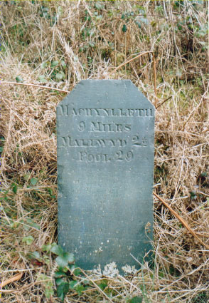
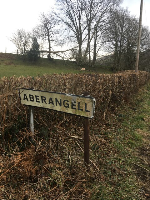
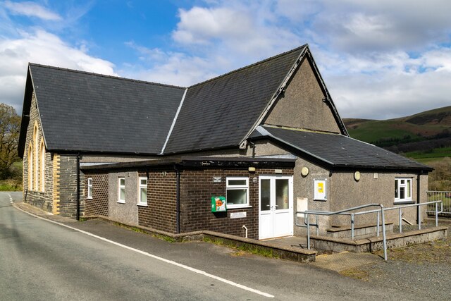
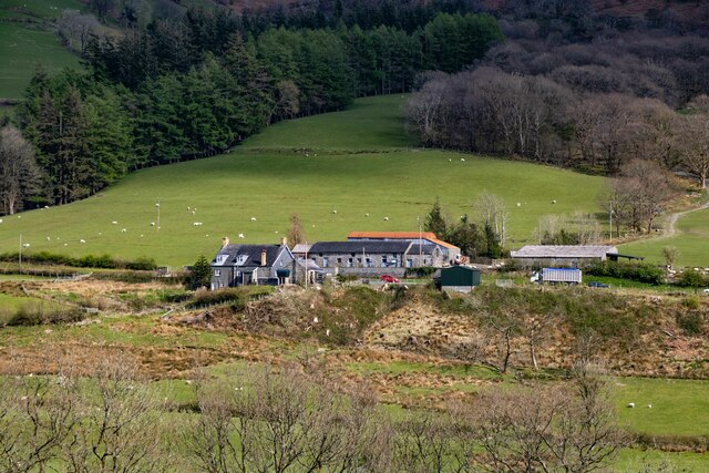
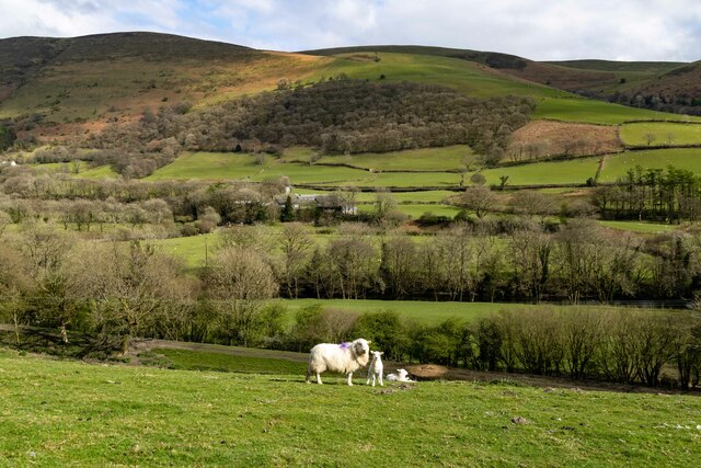
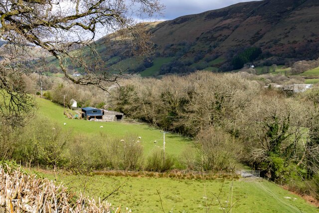
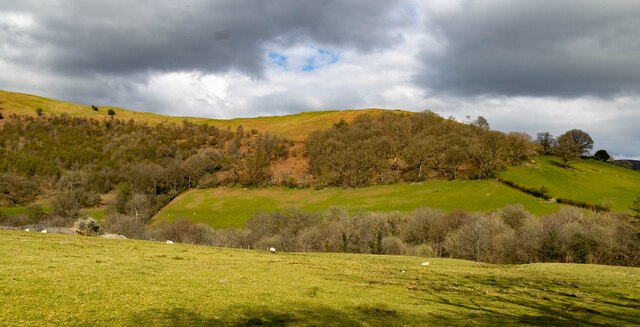
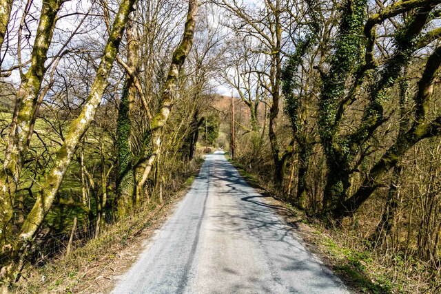
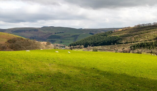
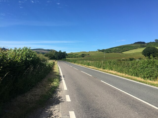
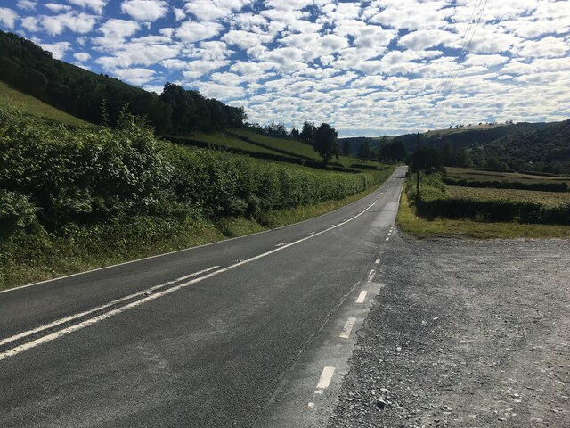
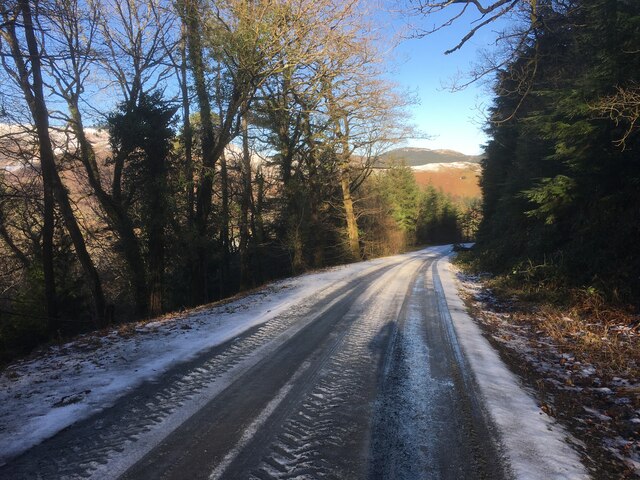
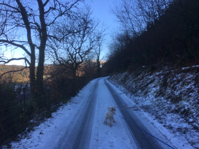
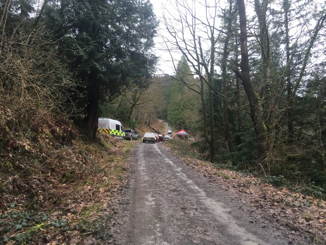
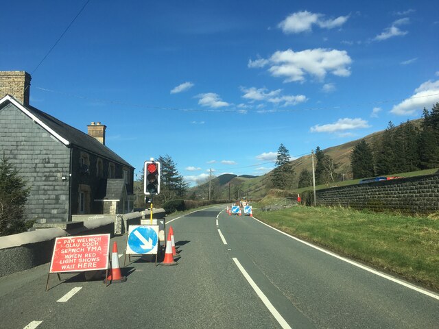
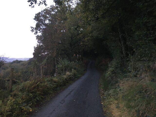
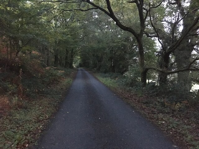
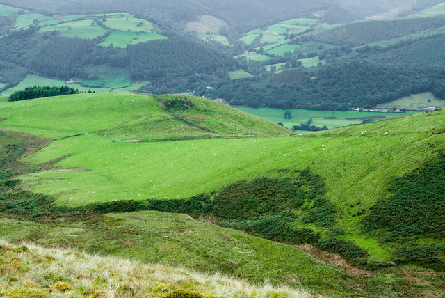
Clipiau Images

Images are sourced within 2km of 52.6775/-3.709102 or Grid Reference SH8410. Thanks to Geograph Open Source API. All images are credited.

Old Milestone by the A470, Dolcorsllwyn, Glantwymyn Parish Machynlleth Chamfer by the A470, in parish of Glantwymyn (Powys District), Dolcorsllwyn, between road to Hall and Lodge, on verge, East side of road.

Inscription reads:- : MACHYNLLETH / 9 MILES / MALLWYD / 2½ / POOL 29 : 

Surveyed

Milestone Society National ID: MOT_MCWP09
Old Milestone by the A470, Dolcorsllwyn, Glantwymyn Parish
Machynlleth Chamfer by the A470, in parish of Glantwymyn (Powys District), Dolcorsllwyn, between road to Hall and Lodge, on verge, East side of road. Inscription reads:- : MACHYNLLETH / 9 MILES / MALLWYD / 2½ / POOL 29 : Surveyed Milestone Society National ID: MOT_MCWP09
Sign marking the village of Aberangell
Village Hall Clipiau village hall.
Village Hall
Clipiau village hall.
Blaenplwyf Uchaf
Blaenplwyf Uchaf
Gwernhefin
Gwernhefin
Camlan Isaf
Camlan Isaf
Mynyd Cefn-gwyn
Mynyd Cefn-gwyn
Clipiau Road from the forest leading into Clipiau.
Clipiau
Road from the forest leading into Clipiau.
Esgairangell
Esgairangell
A470 near Cwm Llinau
A470 near Mallwyd
A470 near Mallwyd
Forestry road, Dyfi Forest
Private road near Aberangell
Forestry road in Dyfi Forest
A470 towards Mallwyd
Minor road towards Aberangell
Minor road near Aberangell
Cwm Gast Cwm Gast is a minor rise - OS maps give it just a single, individual contour ring - on what is one of two ridges descending generally south-west from Esgair Ddu. The view is from a location south-west of the summit of that hill.
Cwm Gast
Cwm Gast is a minor rise - OS maps give it just a single, individual contour ring - on what is one of two ridges descending generally south-west from Esgair Ddu. The view is from a location south-west of the summit of that hill.
Show me another place!

Clipiau is located at Grid Ref: SH8410 (Lat: 52.6775, Lng: -3.709102)

Unitary Authority: Gwynedd

Police Authority: North Wales

What 3 Words

///branch.havens.clustered. Near Cwm-Llinau, Powys

Related Wikis

Aberangell railway station

Aberangell railway station was an intermediate railway station on the Mawddwy Railway which ran from Cemmaes Road to Dinas Mawddy in the Welsh county...

Aberangell

Aberangell () is a village in Gwynedd, Wales. == Geography == Aberangell stands at the confluence of the Afon Angell and the Afon Dyfi, and lies within...

Afon Angell

The Afon Angell is a river in Gwynedd, Mid Wales. The river flows eastwards from its source on the eastern flank of Mynydd Dolgoed, joining the Afon Dyfi...

Moel y Ffridd

Moel y Ffridd (also known as Foel y Ffridd) is a mountain in Wales. It lies north-west of the village of Aberangell and west of Mallwyd and is one of the...

Nearby Amenities

Located within 500m of 52.6775,-3.709102
Aberangell
Is In: Gwynedd
Place: village
Source: npe
Lat/Long: 52.6761994/-3.7092328
Source: npe
Lat/Long: 52.676273/-3.7050626
Aberangell
Abandoned Railway: station
Railway: site
Wikidata: Q4666771
Wikipedia: en:Aberangell railway station
Lat/Long: 52.6754061/-3.7073234
Place: farm
Lat/Long: 52.6775134/-3.7042332
Aberangell
Historic Railway: station
Railway: site
Wikidata: Q4666771
Wikipedia: en:Aberangell railway station
Lat/Long: 52.6745524/-3.7080125
The data included in this document is from www.openstreetmap.org. The data is made available under ODbL.

Have you been to Clipiau?

Leave your review of Clipiau below (or comments, questions and feedback).