Binthwaite Plantation

Wood, Forest in Cumberland Allerdale

England

Binthwaite Plantation

Looking up Carlisegate Lane Lane going North away from Boltongate.
Looking up Carlisegate Lane Credit: Martin

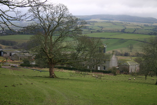
Binthwaite Plantation is a picturesque woodland area located in Cumberland, England. Situated amidst the stunning natural landscapes of the region, this plantation is a haven for nature enthusiasts and outdoor adventurers alike.

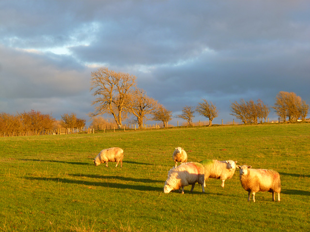
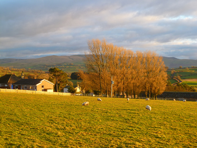
Covering an extensive area, Binthwaite Plantation is predominantly composed of dense, mature trees that form a lush forest canopy. The plantation is home to a variety of tree species, including oak, beech, and pine, which contribute to the rich biodiversity of the area. The woodland floor is covered in a carpet of ferns, mosses, and wildflowers, adding to the enchanting atmosphere of the plantation.

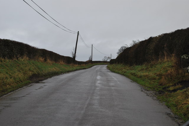
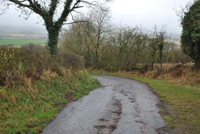
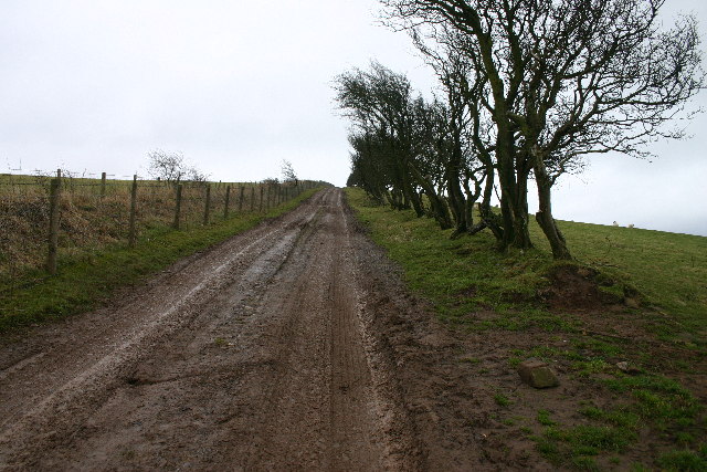
The plantation is crisscrossed by a network of walking trails, allowing visitors to explore the area and take in its breathtaking beauty. These trails wind through the woodland, offering opportunities for peaceful walks, jogging, or simply immersing oneself in nature. The plantation also boasts several viewpoints that offer panoramic vistas of the surrounding countryside, making it a popular spot for photographers and nature lovers.

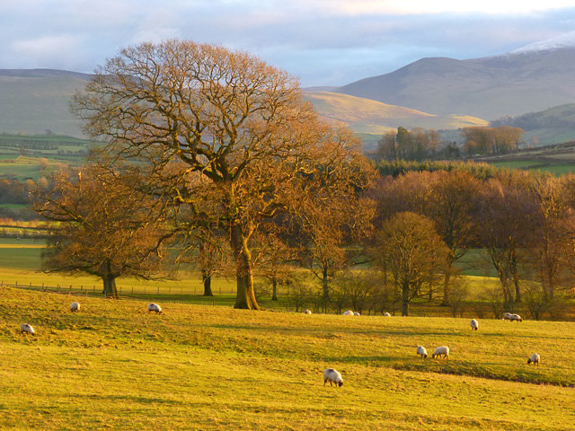
Binthwaite Plantation is not only a haven for flora, but also for various wildlife species. Visitors may spot deer, foxes, rabbits, and a wide array of bird species, including woodpeckers and owls. The plantation is also known for its diverse insect population, including butterflies and dragonflies.

With its serene atmosphere, stunning landscapes, and abundant wildlife, Binthwaite Plantation is a must-visit destination for those seeking a peaceful retreat in the heart of Cumberland. Whether it's for leisurely walks, wildlife spotting, or simply enjoying the beauty of nature, this plantation offers a truly immersive experience for all who venture into its enchanting realms.

If you have any feedback on the listing, please let us know in the comments section below.

Binthwaite Plantation Images

Images are sourced within 2km of 54.751163/-3.192837 or Grid Reference NY2340. Thanks to Geograph Open Source API. All images are credited.

Looking up Carlisegate Lane Lane going North away from Boltongate.
Looking up Carlisegate Lane
Lane going North away from Boltongate.
Lane North of Boltongate Lane to the North of Boltongate, looking back towards Boltongate.
Lane North of Boltongate
Lane to the North of Boltongate, looking back towards Boltongate.
Lane leading away from Boltongate
Lane North of Boltongate looking back towards Boltongate
Disused Quarry North of Boltongate The grass clearing leads up to the disused quarry shown on the OS map.
Disused Quarry North of Boltongate
The grass clearing leads up to the disused quarry shown on the OS map.
Headend Quarry at Sandale Cumbria This disused quarry is now an excellent place to practise rock climbing and enjoy the 360 degree views of the Solway Coast and Northern Fells of the Lake District National Park.
Headend Quarry at Sandale Cumbria
This disused quarry is now an excellent place to practise rock climbing and enjoy the 360 degree views of the Solway Coast and Northern Fells of the Lake District National Park.
Pasture, Boltons A view from the road to the east of Boltongate. Bakestall is the small peak in the background, just below Skiddaw's snow-line.
Pasture, Boltons
A view from the road to the east of Boltongate. Bakestall is the small peak in the background, just below Skiddaw's snow-line.
Pasture, Boltons With evening sunshine picking out the Caldbeck Fells.
Pasture, Boltons
With evening sunshine picking out the Caldbeck Fells.
Pasture, Boltons Sheep garzing to the north of Boltongate.
Pasture, Boltons
Sheep garzing to the north of Boltongate.
Pasture, Boltons A view towards the Caldbeck Fells from Boltongate.
Pasture, Boltons
A view towards the Caldbeck Fells from Boltongate.
Boltongate Church This little church  looks very similar to small parish churches across Cumbria, but is unique, possessing the only stone tunnel-vaulted church roof in England.
Boltongate Church
This little church looks very similar to small parish churches across Cumbria, but is unique, possessing the only stone tunnel-vaulted church roof in England.
Catlands Hill Looking north, over the Solway Plain.
Catlands Hill
Looking north, over the Solway Plain.
Headend Quarry Also known as Sandale Quarry, this has become a designated County Wildlife Site. A joint initiative has implemented cleaning up vandalism and fly tipping and erecting seating and information boards. Interesting wildflowers are found here, along with a wide range of birds.
Headend Quarry
Also known as Sandale Quarry, this has become a designated County Wildlife Site. A joint initiative has implemented cleaning up vandalism and fly tipping and erecting seating and information boards. Interesting wildflowers are found here, along with a wide range of birds.
Track to Powhead Plantation The ancient hedge and dyke to the right is replaced by modern wire on the left.
Track to Powhead Plantation
The ancient hedge and dyke to the right is replaced by modern wire on the left.
Ellen Bank Farm
Ellen Bank Farm
Carlislegate Lane Mis-spelt on OS map. Connects Boltongate with Carlislegate.
Carlislegate Lane
Mis-spelt on OS map. Connects Boltongate with Carlislegate.
Field Entrance Seemingly over-ornate for a field gate, this entrance was at the eastern end of some parkland, in the middle of which stood Quarry Hill House, visible in distance.
Field Entrance
Seemingly over-ornate for a field gate, this entrance was at the eastern end of some parkland, in the middle of which stood Quarry Hill House, visible in distance.
Dual Carriageway Presumably shared access didn't work here. Another example is at <a href="https://www.geograph.org.uk/gridref/NY2142">NY2142</a>
Dual Carriageway
Presumably shared access didn't work here. Another example is at NY2142
Show me another place!

Binthwaite Plantation is located at Grid Ref: NY2340 (Lat: 54.751163, Lng: -3.192837)

Administrative County: Cumbria

District: Allerdale

Police Authority: Cumbria

What 3 Words

///twitchy.triangles.label. Near Wigton, Cumbria

Related Wikis

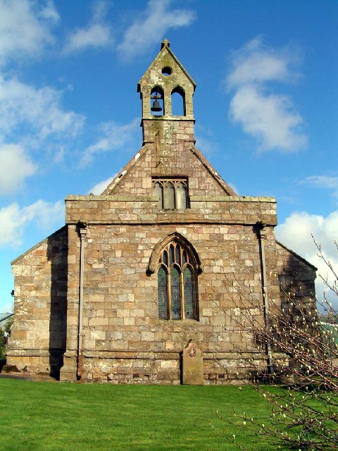
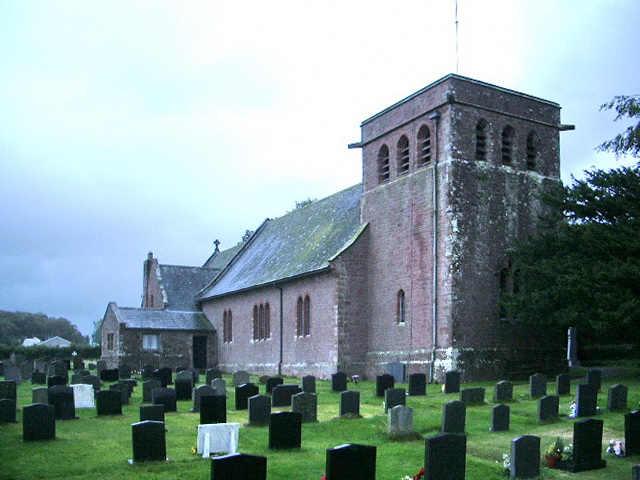
All Saints Church, Boltongate

All Saints' Church is in the village of Boltongate, Cumbria, England. It is an active Anglican parish church in the deanery of Solway, the archdeaconry...

Boltongate

Boltongate is a village in Cumbria, England. It is situated about 10 miles (16 km) north-east of Cockermouth. It is located just outside the Lake District...

Ireby Old Church

Ireby Old Church is a redundant Anglican church, of which only the chancel remains. It stands in an isolated position 1 mile (2 km) to the west of the...

Ireby, Cumbria

Ireby is a village in Cumbria, England with a population of around 180. Between 1974 and 2023, it was in Allerdale district, Cumbria. Since April 2023...

Boltons

Boltons is a civil parish in Cumbria, England. According to the 2001 census it had a population of 585, increasing to 629 at the 2011 Census. Settlements...

Ireby and Uldale

Ireby and Uldale is a civil parish in the English county of Cumbria forming part of the district of Allerdale. The population, including Bewaldeth and...

St Michael's Church, Torpenhow

St Michael's Church is in the civil parish of Blennerhasset and Torpenhow, Cumbria, England. It is an active Anglican church in the deanery of Derwent...

Mealsgate

Mealsgate is a village in Cumbria, England, historically within Cumberland. == Location == Mealsgate grid reference NY208421 is situated on the old Roman...

Nearby Amenities

Located within 500m of 54.751163,-3.192837
The data included in this document is from www.openstreetmap.org. The data is made available under ODbL.

Have you been to Binthwaite Plantation?

Leave your review of Binthwaite Plantation below (or comments, questions and feedback).