Coed Cochion

Wood, Forest in Shropshire

England

Coed Cochion

House on bend south of Ty Cerrig
House on bend south of Ty Cerrig Credit: John Firth

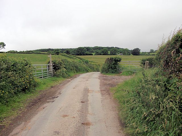
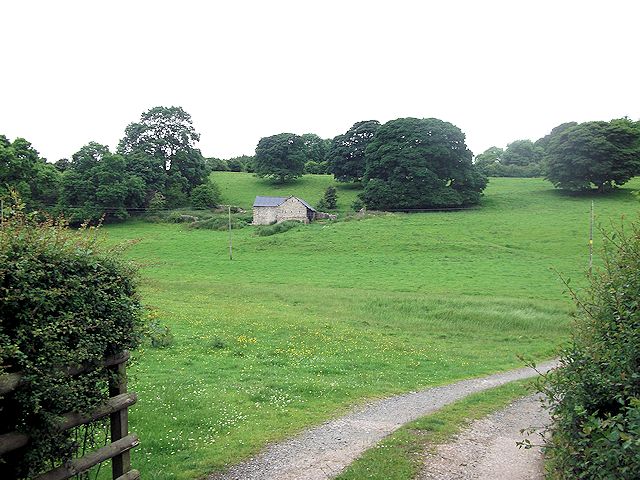
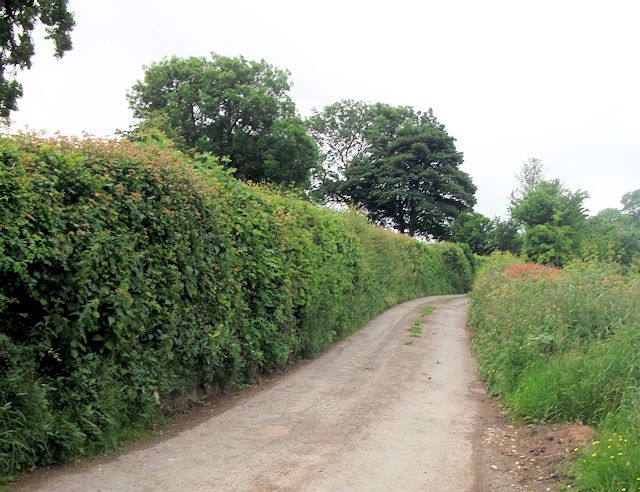
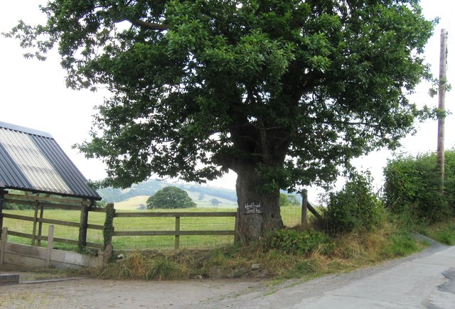
Coed Cochion is a small woodland located in the county of Shropshire, England. Situated near the village of Wood, it is known for its picturesque beauty and rich biodiversity. Covering an area of approximately 100 acres, the woodland is a mix of deciduous and coniferous trees, including oak, beech, birch, and pine.

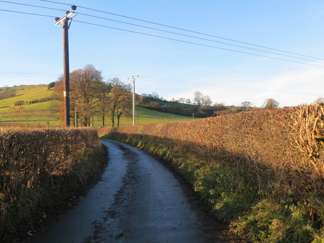
The forest is a popular destination for nature enthusiasts and walkers, as it offers a variety of well-maintained footpaths and trails. These paths wind through the woodland, providing visitors with the opportunity to explore its diverse flora and fauna. The forest floor is carpeted with bluebells in spring, creating a stunning display of vibrant colors.

Coed Cochion is also home to an abundance of wildlife. Birdwatchers flock to the area to spot species such as woodpeckers, owls, and various migratory birds. The woodland is also inhabited by mammals like deer, foxes, and squirrels.

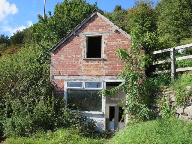
In addition to its natural beauty, Coed Cochion holds historical significance. It is believed that the woodland has been present for centuries and was once part of the extensive forests that covered much of Shropshire. The ancient trees and ruins scattered throughout the area serve as reminders of its past.

Overall, Coed Cochion is a tranquil haven for individuals seeking solace in nature. Its stunning landscapes, diverse wildlife, and historical charm make it a must-visit destination for anyone visiting Shropshire.

If you have any feedback on the listing, please let us know in the comments section below.
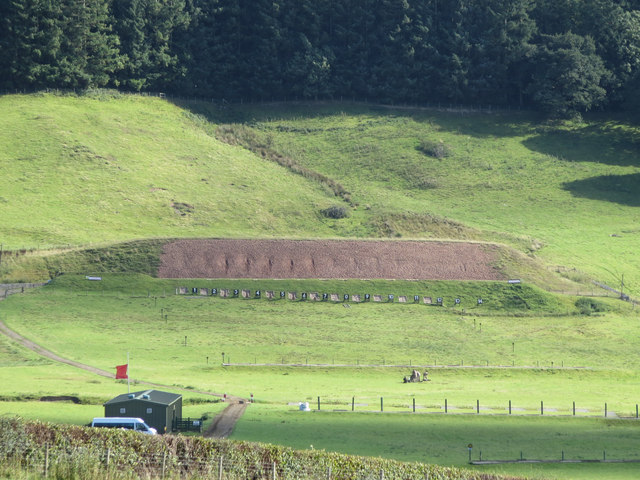
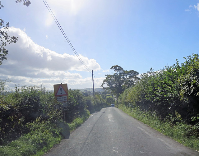
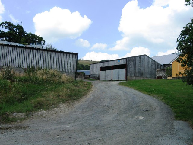
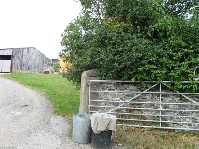
Coed Cochion Images

Images are sourced within 2km of 52.850776/-3.1466222 or Grid Reference SJ2228. Thanks to Geograph Open Source API. All images are credited.

House on bend south of Ty Cerrig
Road junction at Croesau Bach Nerar Ty Carreg
Road junction at Croesau Bach
Nerar Ty Carreg
Gates and footpath from Pentregaer lane
Track to Pentregaer Uchaf There is a large barn in the field. Taken from cattle grid
Track to Pentregaer Uchaf
There is a large barn in the field. Taken from cattle grid
Lane to Pentregaer Issa Taken from junction of lane to Pentregaer Uchaf
Lane to Pentregaer Issa
Taken from junction of lane to Pentregaer Uchaf
Crossroads at Croesau Bach
Craig-llwyn church
Craig-llwyn church
Entrance to track to Panthir Old Edwardian bus shelter at start of track.
Entrance to track to Panthir
Old Edwardian bus shelter at start of track.
Pentre Cefn farm on Sychtyn road
Derelict house east of Bwlch-y-rhiw
Rifle range south of Bwlch-y-Rhiw
B4580 - hidden dip revealed The dip is revealed by the school bus panting up from the pant (Welsh for hollow) belching diesel fumes for all it was worth.
B4580 - hidden dip revealed
The dip is revealed by the school bus panting up from the pant (Welsh for hollow) belching diesel fumes for all it was worth.
Wenffrwd Smithy
Wenffrwd Smithy
Hedge enclosed lane from Derwen-deg to Rhyleos Looking north-westward.
Hedge enclosed lane from Derwen-deg to Rhyleos
Looking north-westward.
Ordnance Survey Flush Bracket G3024 This can be found on a converted barn - now a private dwelling - at Derwen Deg.
For more detail see : <span class="nowrap"><a title="http://www.bench-marks.org.uk/bm14927" rel="nofollow ugc noopener" href="http://www.bench-marks.org.uk/bm14927">Link</a><img style="margin-left:2px;" alt="External link" title="External link - shift click to open in new window" src="https://s1.geograph.org.uk/img/external.png" width="10" height="10"/></span>
Ordnance Survey Flush Bracket G3024
This can be found on a converted barn - now a private dwelling - at Derwen Deg. For more detail see : LinkExternal link
Ordnance Survey Flush Bracket G3023 This partly buried bracket can be found on the wall of a roadside outbuilding at Bryncoch, Tan-y-graig.
For more detail see : <span class="nowrap"><a title="http://www.bench-marks.org.uk/bm14926" rel="nofollow ugc noopener" href="http://www.bench-marks.org.uk/bm14926">Link</a><img style="margin-left:2px;" alt="External link" title="External link - shift click to open in new window" src="https://s1.geograph.org.uk/img/external.png" width="10" height="10"/></span>
Ordnance Survey Flush Bracket G3023
This partly buried bracket can be found on the wall of a roadside outbuilding at Bryncoch, Tan-y-graig. For more detail see : LinkExternal link
Show me another place!

Coed Cochion is located at Grid Ref: SJ2228 (Lat: 52.850776, Lng: -3.1466222)

Unitary Authority: Shropshire

Police Authority: West Mercia

What 3 Words

///marsh.ruler.torso. Near Oswestry, Shropshire

Nearby Locations

Coed Cochion

Related Wikis

Nant-y-Gollen

Nant-y-Gollen is a village in Shropshire in England. == References ==

St Silin's Church, Llansilin

St Silin's Church is a Church in Wales parish church in Llansilin, Powys, Wales. The present building, which has parts dating back to the 13th century...

Llansilin

Llansilin () is a village and local government community in Montgomeryshire, Powys, Wales, 5 miles (8 km) west of Oswestry. The community, which includes...

Rhydycroesau

Rhydycroesau is a tiny village on the English-Welsh border, 3.25 miles (5.23 km) west of Oswestry on the B4580 road. It lies partly in the Shropshire parish...

Nearby Amenities

Located within 500m of 52.850776,-3.1466222
The data included in this document is from www.openstreetmap.org. The data is made available under ODbL.

Have you been to Coed Cochion?

Leave your review of Coed Cochion below (or comments, questions and feedback).