Cliftonville
Settlement in Kent Thanet
England
Cliftonville

Cliftonville is a coastal town located in the district of Thanet in Kent, England. It is a popular seaside resort known for its sandy beaches, historic architecture, and vibrant community. Situated just east of the larger town of Margate, Cliftonville offers a more tranquil and relaxed atmosphere.
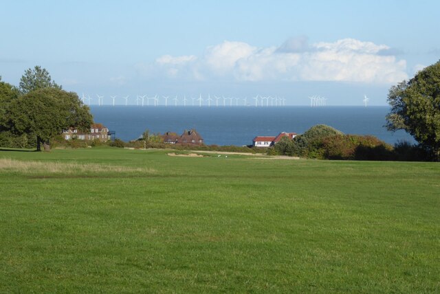
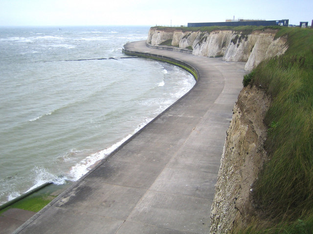
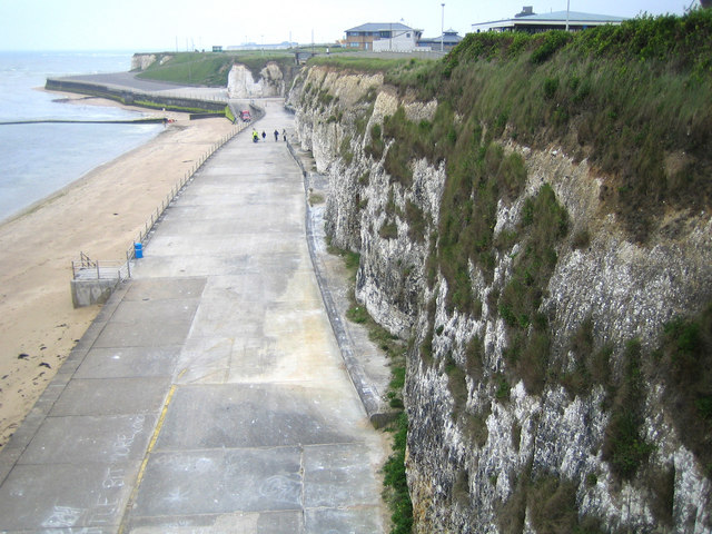
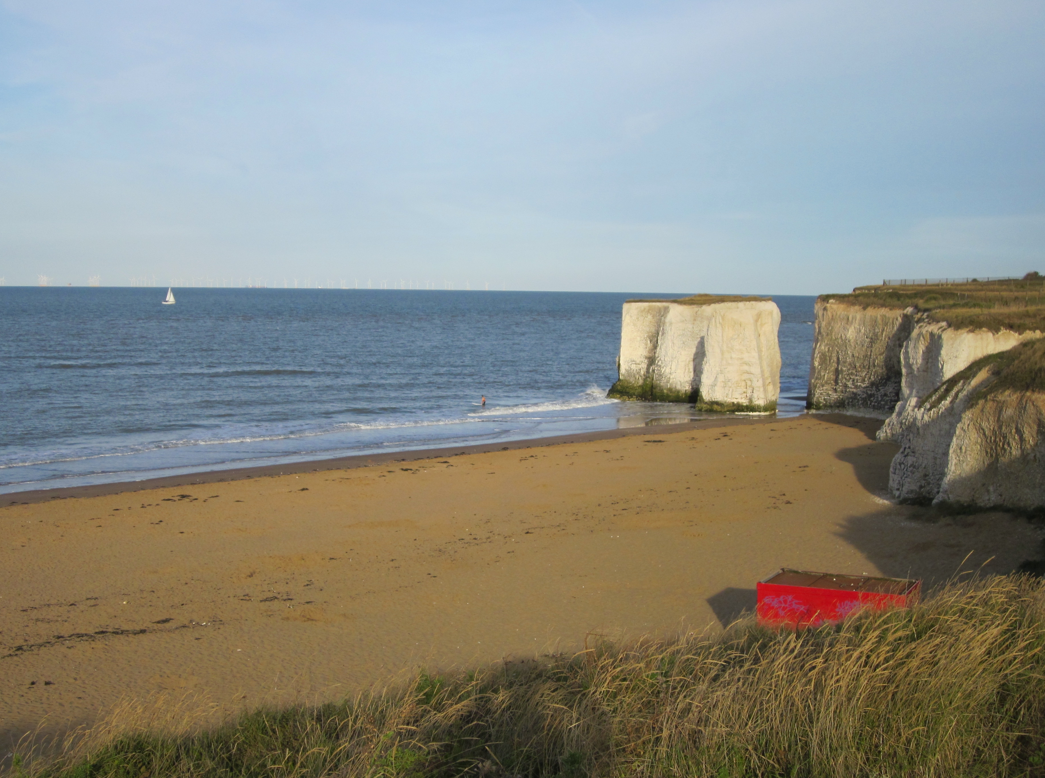
One of the main attractions of Cliftonville is its beautiful sandy beaches, which stretch for miles along the coastline. These beaches are perfect for sunbathing, picnicking, and leisurely walks, and they also offer various water sports activities, including sailing and windsurfing.
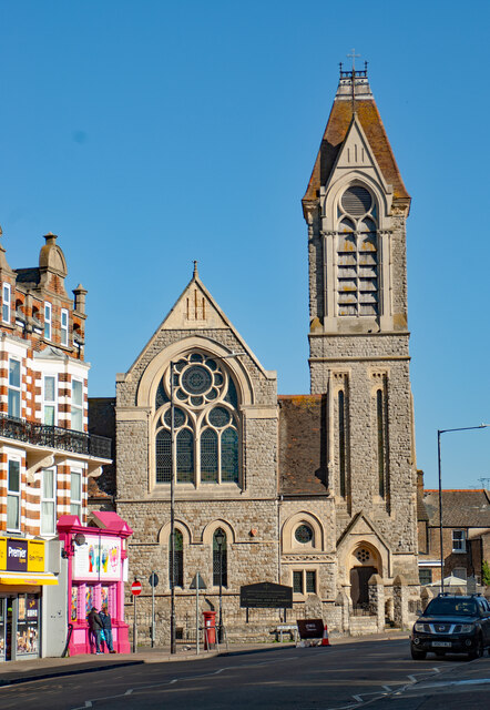
The town boasts an array of stunning architectural gems, with many historic Victorian and Edwardian buildings still standing. The elegant Cliftonville Lido, a Grade II listed seafront building, is a testament to the town's rich architectural heritage. Additionally, the iconic Walpole Bay Hotel, with its distinctive red-brick facade, is a popular landmark in the area.
Cliftonville is also home to a vibrant community, with a range of amenities and facilities to cater to residents and tourists alike. The town has a number of shops, cafes, restaurants, and pubs, offering a diverse range of cuisines and entertainment options. There are also several parks and green spaces, providing opportunities for outdoor activities and relaxation.
Overall, Cliftonville is a charming coastal town with a rich history, beautiful beaches, and a friendly community. Whether visitors are looking for a peaceful getaway or an active seaside adventure, Cliftonville has something to offer for everyone.
If you have any feedback on the listing, please let us know in the comments section below.
Cliftonville Images
Images are sourced within 2km of 51.387925/1.417239 or Grid Reference TR3770. Thanks to Geograph Open Source API. All images are credited.


Cliftonville is located at Grid Ref: TR3770 (Lat: 51.387925, Lng: 1.417239)
Administrative County: Kent
District: Thanet
Police Authority: Kent
What 3 Words
///gentle.panic.tonic. Near Margate, Kent
Nearby Locations
Related Wikis
Palm Bay, Kent
Palm Bay is an area of Cliftonville, a suburb of Margate in Kent, England. The area is predominantly housing, but also has recreational land for the general...

Holy Trinity Church, Margate
Holy Trinity Church, Margate is a Church of England church in Margate, Kent, and in the Diocese of Canterbury. == Original church == The growth of Margate...
Cliftonville
Cliftonville is a coastal area of Margate in the Thanet district of Kent, England. It includes the Palm Bay estate, built in the 1930s with wide avenues...

Foreness Point
Foreness Point is a low headland on the coast of Kent in England. It extends a short distance into the entrance of the Thames Estuary, on the north coast...

Northern Belle
The Northern Belle was an American transatlantic ship which ran aground near Thanet, England, on 5 January 1857. No lives on her were lost, thanks to...
Botany Bay, Kent
Botany Bay is a bay in Broadstairs facing the north sea, Kent, England. Botany Bay is the northernmost of seven bays in Broadstairs. It features chalk...
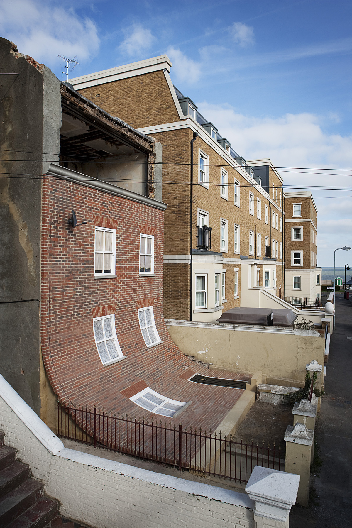
From the Knees of my Nose to the Belly of my Toes
From the Knees of my Nose to the Belly of my Toes was a sculpture and public art installation by the artist Alex Chinneck that existed in Cliftonville...
Clifton Villa Estate
Clifton Villa Estate, also known as New Cricket Ground, was a cricket ground in the Cliftonville area of the town of Margate in Kent. The only first-class...
Nearby Amenities
Located within 500m of 51.387925,1.417239Have you been to Cliftonville?
Leave your review of Cliftonville below (or comments, questions and feedback).