Churchman's Copse
Wood, Forest in Somerset Sedgemoor
England
Churchman's Copse
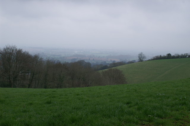
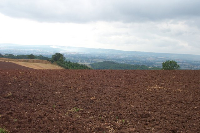
Churchman's Copse, Somerset is a picturesque woodland located in the southwestern part of England. Covering an area of approximately 100 acres, this charming copse is nestled in the heart of the county, near the village of Churchman. It is a popular destination for nature enthusiasts, hikers, and birdwatchers.
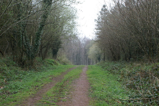
The copse is characterized by its dense forest of tall, mature trees, primarily consisting of oak, ash, and beech. The canopy provides a cool and shady atmosphere, especially on hot summer days. The forest floor is covered in a thick carpet of moss, wildflowers, and ferns, creating a vibrant and colorful undergrowth.
A network of well-maintained footpaths weaves through the copse, allowing visitors to explore its beauty at their leisure. These trails lead to various scenic spots, including a small stream, which adds to the tranquility of the surroundings. The copse is also home to an abundance of wildlife, with sightings of deer, foxes, badgers, and a wide variety of bird species being common.
Churchman's Copse is not only a haven for nature lovers but also has historical significance. It is believed to have been part of an ancient woodland that dates back centuries. The copse has witnessed the passage of time and the changes in the landscape, providing a glimpse into the region's rich history.
Overall, Churchman's Copse in Somerset offers a peaceful retreat from the hustle and bustle of modern life. Its natural beauty, diverse flora and fauna, and historical charm make it a must-visit destination for those seeking a connection with nature and a serene escape.
If you have any feedback on the listing, please let us know in the comments section below.
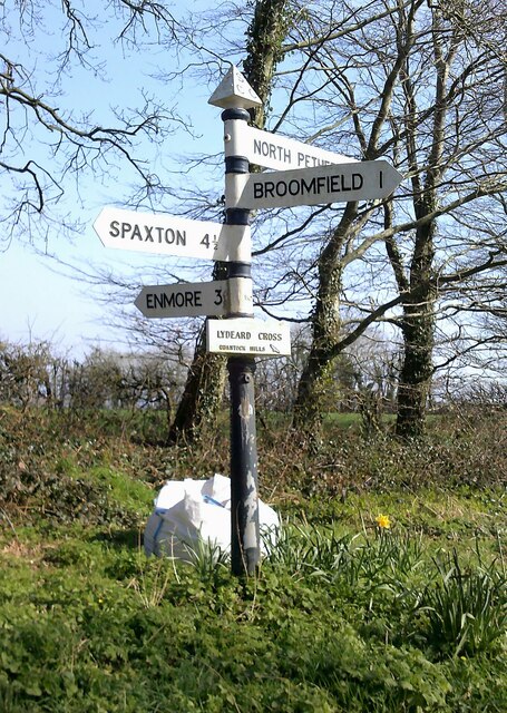
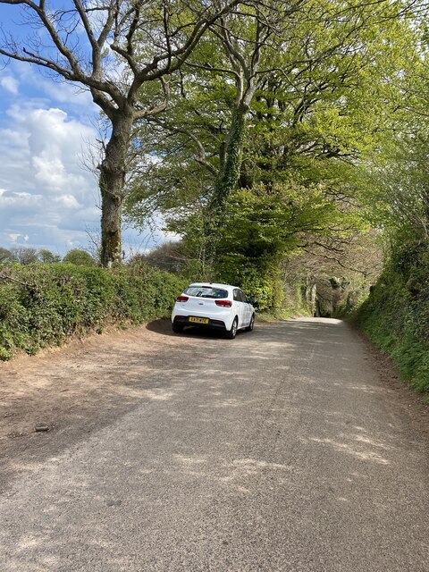
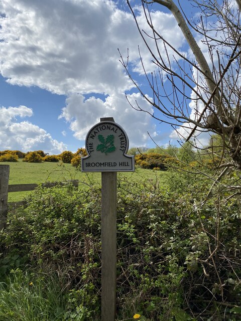
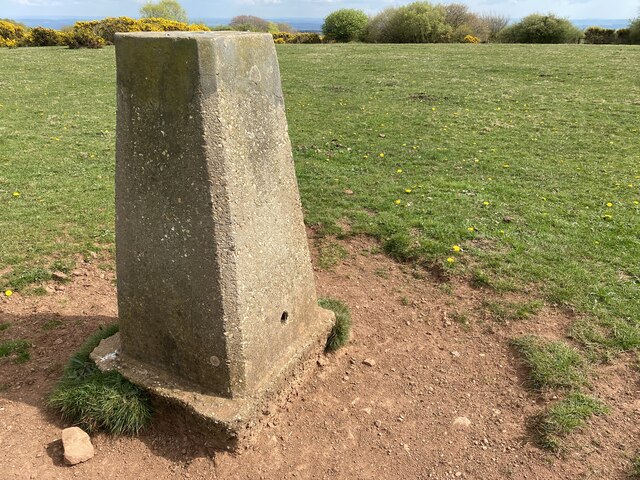
Churchman's Copse Images
Images are sourced within 2km of 51.084158/-3.1060158 or Grid Reference ST2232. Thanks to Geograph Open Source API. All images are credited.


Churchman's Copse is located at Grid Ref: ST2232 (Lat: 51.084158, Lng: -3.1060158)
Administrative County: Somerset
District: Sedgemoor
Police Authority: Avon and Somerset
What 3 Words
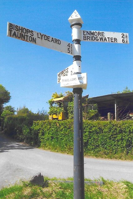
///jubilant.scans.yourself. Near Bishops Lydeard, Somerset
Nearby Locations
Related Wikis

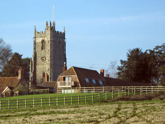
Broomfield, Somerset
Broomfield is a village and civil parish in Somerset, England, situated about five miles north of Taunton. According to the 2011 census it had a population...

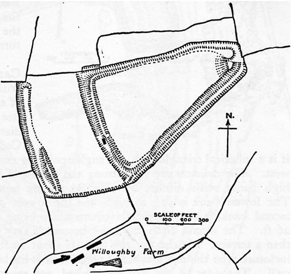
Broomfield Camp
Broomfield Camp (which is also known as Higher Castles enclosure) is a univallate Iron Age hill fort in the Taunton Deane district of Somerset, England...
Ruborough Camp
Ruborough Camp is an Iron Age hill fort on the Quantock Hills near Broomfield in Somerset, England. The name comes from Rugan beorh or Ruwan-beorge meaning...

Tetton, Kingston St Mary
Tetton is an historic estate in the parish of Kingston St Mary in the English county of Somerset. The present grade II* listed Tetton House dates from...
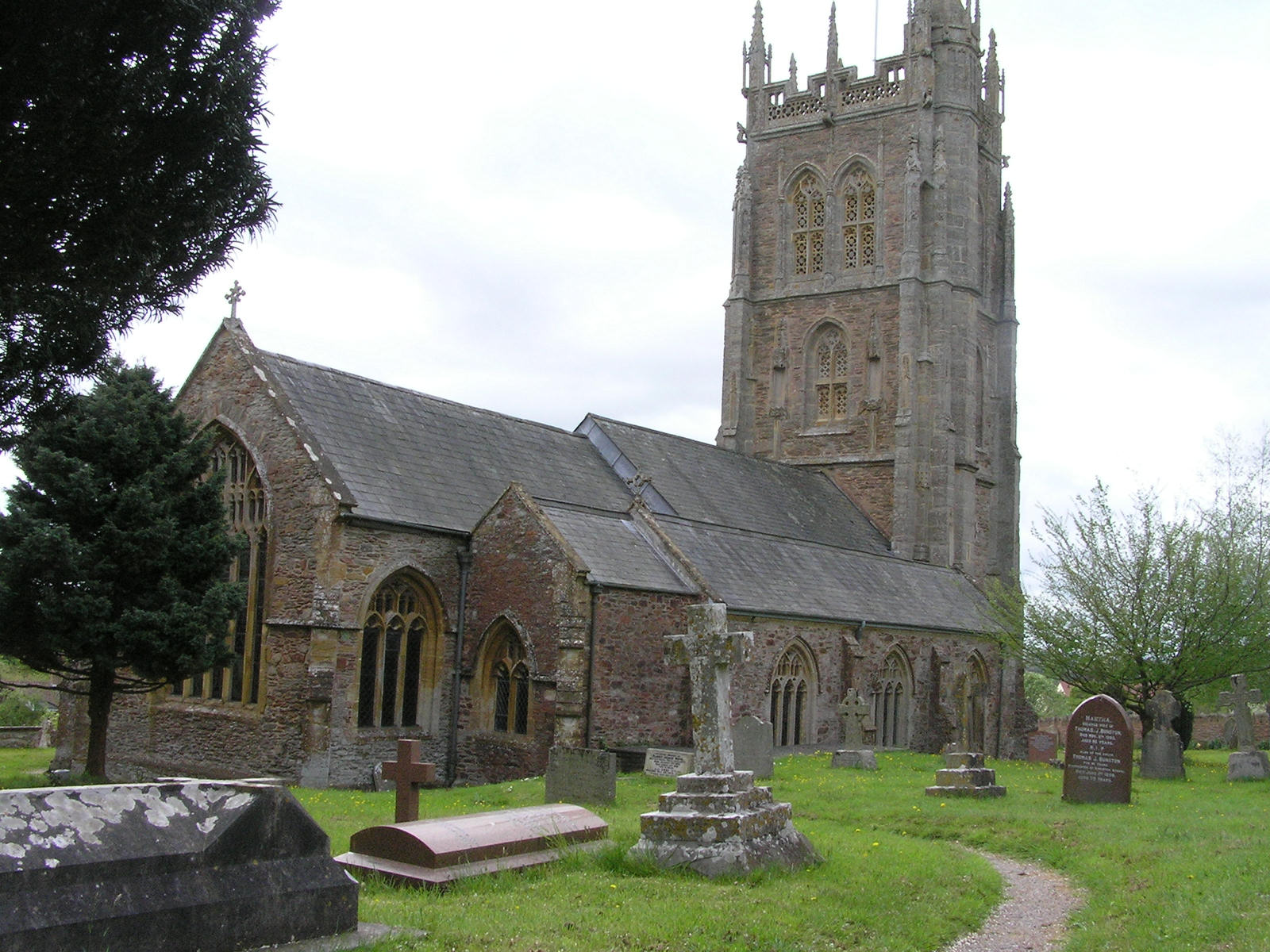
Kingston St Mary
Kingston St Mary is a village and parish in Somerset, England, situated at the southern end of the Quantock Hills 4 miles (6.4 km) north of Taunton. The...
Robin Hood's Hut
Robin Hood's Hut is a small pavilion in the grounds of Halswell House, Goathurst, Somerset, in the west of England. It was built between 1740 and 1760...

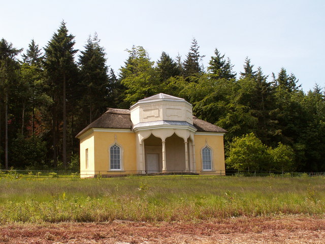
Temple of Harmony
The Temple of Harmony is an 18th-century folly in the grounds of Halswell House, Goathurst, Somerset, England. Built in 1767, it is a replica of the 1st...
Enmore, Somerset
Enmore is a village and civil parish 2 miles (3 km) west of Bridgwater on the Quantock Hills in Somerset, England. The parish includes the hamlet of Bare...
Nearby Amenities
Located within 500m of 51.084158,-3.1060158Have you been to Churchman's Copse?
Leave your review of Churchman's Copse below (or comments, questions and feedback).