Dunnerdale Forest
Wood, Forest in Cumberland Copeland
England
Dunnerdale Forest
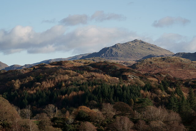
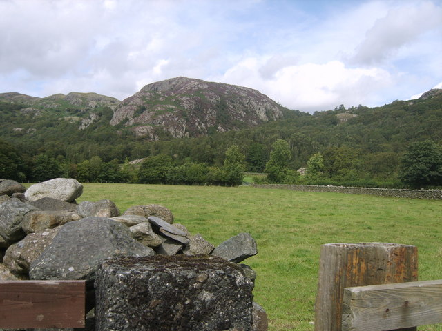
Dunnerdale Forest, located in Cumberland, is a picturesque woodland area renowned for its natural beauty and rich biodiversity. Spanning over a vast area, this forest is a popular destination for nature enthusiasts, hikers, and those seeking tranquility amidst the natural surroundings.
The forest is characterized by its dense canopy of tall, ancient trees that provide a habitat for a diverse range of flora and fauna. Species such as oak, beech, birch, and conifers dominate the landscape, creating a vibrant and colorful environment throughout the seasons. The forest floor is adorned with a carpet of wildflowers, including bluebells, primroses, and wood anemones, adding to the enchanting atmosphere.
Dunnerdale Forest is home to an array of wildlife, including deer, foxes, badgers, and numerous bird species. Birdwatchers will be delighted by the opportunity to spot rare species such as the black grouse and the elusive nightjar. The forest's tranquil setting also attracts a variety of woodland birds, making it a haven for birding enthusiasts.
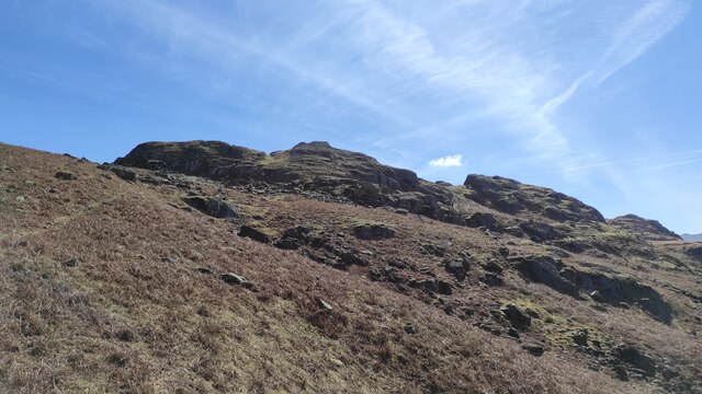
Alongside its natural beauty, Dunnerdale Forest offers a network of well-maintained trails and paths, making it an ideal location for walking and hiking. These trails cater to all levels of fitness, from leisurely strolls to more challenging hikes, ensuring there is something for everyone. As visitors explore the forest, they may come across hidden streams, cascading waterfalls, and breathtaking viewpoints that provide panoramic vistas of the surrounding countryside.
Overall, Dunnerdale Forest in Cumberland is a natural gem, offering a diverse range of attractions for nature lovers and outdoor enthusiasts. Its captivating beauty, abundant wildlife, and well-maintained trails make it a must-visit destination for those seeking a connection with nature.
If you have any feedback on the listing, please let us know in the comments section below.
Dunnerdale Forest Images
Images are sourced within 2km of 54.375832/-3.1962142 or Grid Reference SD2298. Thanks to Geograph Open Source API. All images are credited.


Dunnerdale Forest is located at Grid Ref: SD2298 (Lat: 54.375832, Lng: -3.1962142)
Administrative County: Cumbria
District: Copeland
Police Authority: Cumbria
What 3 Words
///useful.music.toothpick. Near Ambleside, Cumbria
Nearby Locations
Related Wikis

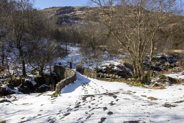
Birks Bridge
Birks Bridge is a traditional stone-built bridge over the River Duddon in the English Lake District, in Dunnerdale-with-Seathwaite, Cumbria, standing...
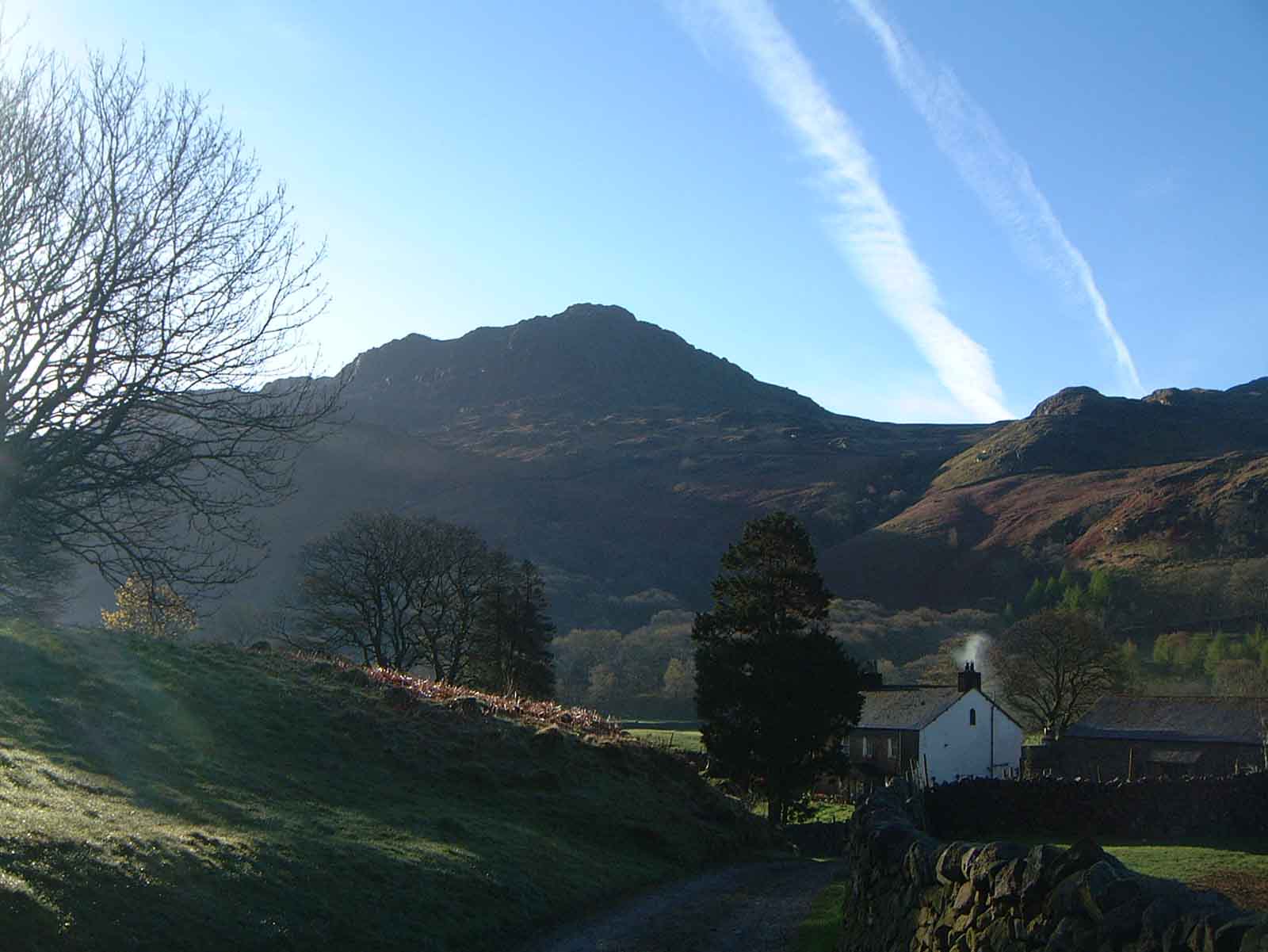
Harter Fell (Eskdale)
Harter Fell is a fell in the western part of the English Lake District, located between the Eskdale and Duddon valleys. Its height is 653 metres (2,142...
Wallowbarrow Crag
Wallowbarrow Crag is a hill of 292 metres (958 ft) in the Lake District, England. It is on the west of the Duddon Valley, across the valley from the village...

Walna Scar
Walna Scar is a hill in the English Lake District, lying just south of a pass of the same name in the Coniston Hills. Its summit at 2,035 feet (620 m)...
Nearby Amenities
Located within 500m of 54.375832,-3.1962142Have you been to Dunnerdale Forest?
Leave your review of Dunnerdale Forest below (or comments, questions and feedback).