Scrithwaite Wood

Wood, Forest in Lancashire South Lakeland

England

Scrithwaite Wood

Dunnerdale Fells above Stonestar There is an old postcard of this scene called "Dunnerdale Fells". This is a recent picture of the same from the same location. Peaks include Cat's Crag and Raven's Crag, and what rock-climbers call Stonestar Crag.
This picture is a reverse view of <a href="https://www.geograph.org.uk/photo/7300826">SD1992 : Duddon Valley south of Ulpha</a>.
Dunnerdale Fells above Stonestar Credit: Alan Jolley

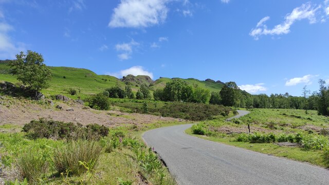
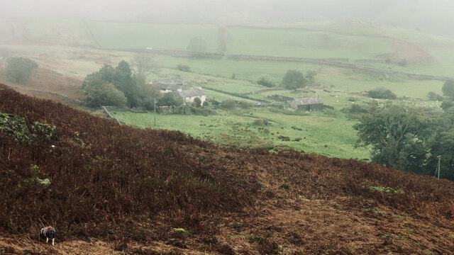
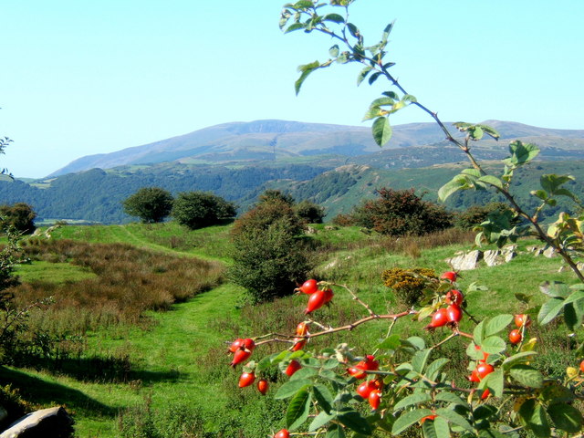
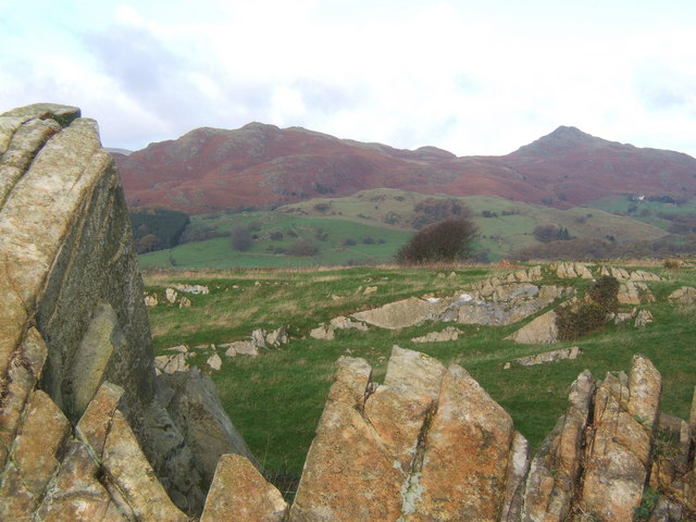
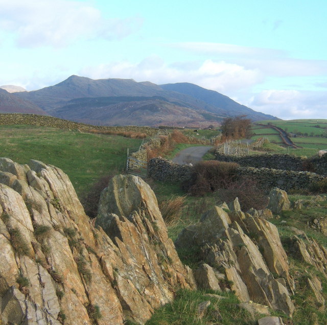
Scrithwaite Wood is a scenic woodland located in Lancashire, England. Covering an area of approximately 50 hectares, this enchanting forest is a popular destination for nature lovers and outdoor enthusiasts. The wood is situated in close proximity to the village of Scrithwaite, hence the name.

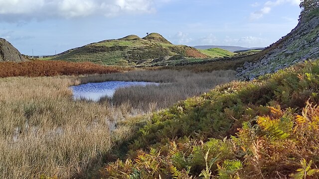
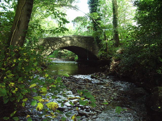
The woodland is characterized by its diverse range of tree species, including oak, beech, birch, and ash, which create a rich and vibrant canopy. The forest floor is carpeted with a variety of wildflowers, such as bluebells and foxgloves, adding to the area's natural beauty.

As visitors explore the wood, they can follow several well-marked trails that wind through the trees, allowing them to fully immerse themselves in the peaceful ambiance of the forest. These paths cater to different levels of difficulty, accommodating both leisurely strolls and more challenging hikes.

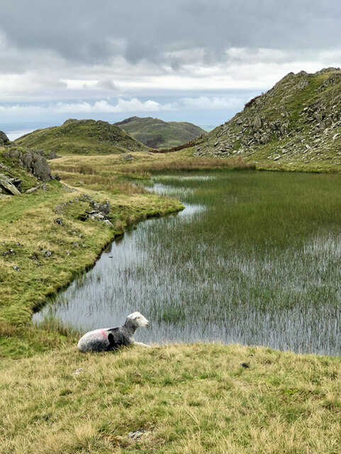
Wildlife thrives within the wood, making it a haven for animal enthusiasts. Birdwatchers will be delighted by the presence of various species, including woodpeckers, owls, and songbirds. Meanwhile, small mammals like squirrels and rabbits scurry through the undergrowth.

Scrithwaite Wood also boasts a picnic area, providing a perfect spot for visitors to relax and enjoy the tranquility of their surroundings. Additionally, the wood is equipped with several benches and interpretation boards, offering educational information about the forest's flora and fauna.

Overall, Scrithwaite Wood is a captivating destination, offering a peaceful retreat from the hustle and bustle of everyday life. Its picturesque landscapes and abundant wildlife make it a must-visit location for nature enthusiasts and those seeking a serene outdoor experience.

If you have any feedback on the listing, please let us know in the comments section below.

Scrithwaite Wood Images

Images are sourced within 2km of 54.311474/-3.1968057 or Grid Reference SD2291. Thanks to Geograph Open Source API. All images are credited.

Dunnerdale Fells above Stonestar There is an old postcard of this scene called "Dunnerdale Fells". This is a recent picture of the same from the same location. Peaks include Cat's Crag and Raven's Crag, and what rock-climbers call Stonestar Crag.
This picture is a reverse view of <a href="https://www.geograph.org.uk/photo/7300826">SD1992 : Duddon Valley south of Ulpha</a>.
Dunnerdale Fells above Stonestar
There is an old postcard of this scene called "Dunnerdale Fells". This is a recent picture of the same from the same location. Peaks include Cat's Crag and Raven's Crag, and what rock-climbers call Stonestar Crag. This picture is a reverse view of SD1992 : Duddon Valley south of Ulpha.
On Dunnerdale Fells near Gowther Barrow I can't work out what these mounds are called. They might be part of Potherilt Hill or Gowther Barrow. They don't seem to be so distinctive when viewed from other angles.
On Dunnerdale Fells near Gowther Barrow
I can't work out what these mounds are called. They might be part of Potherilt Hill or Gowther Barrow. They don't seem to be so distinctive when viewed from other angles.
Stickle Tarn
Stickle Tarn
A forest of stakes, no saplings, no tree guards, just stakes
Carter Ground
Carter Ground
Road bridge Road bridge over the River Lickle near Hartley Ground
Road bridge
Road bridge over the River Lickle near Hartley Ground
High Aulthwaite Side
Is this the way forward Is this trying to tell us something about the price of electricity? Somebody makes the effort to install solar panels to power their equipment which is attached to a power line. I wonder if they sell the surplus (if any) to the National Grid
Is this the way forward
Is this trying to tell us something about the price of electricity? Somebody makes the effort to install solar panels to power their equipment which is attached to a power line. I wonder if they sell the surplus (if any) to the National Grid
View from a lane above Hawthwaite Black Combe in the distance.
View from a lane above Hawthwaite
Black Combe in the distance.
Rocky outcrop on ridge near Broughton Mills Looking to the Dunnerdale Fells, with Stickle Pike to the right.
Rocky outcrop on ridge near Broughton Mills
Looking to the Dunnerdale Fells, with Stickle Pike to the right.
Rocky outcrop, looking along the ridge lane Coniston Fells in the distance.
Rocky outcrop, looking along the ridge lane
Coniston Fells in the distance.
Lane to Broughton Mills in wintry conditions Stickle Pike right background.
Lane to Broughton Mills in wintry conditions
Stickle Pike right background.
Lane above Hawthwaite This lane provides an alternative route between Broughton and Torver, running mostly near the crest of a rising ridge of high ground.
Lane above Hawthwaite
This lane provides an alternative route between Broughton and Torver, running mostly near the crest of a rising ridge of high ground.
Lickle Bridge
Lickle Bridge
Start of footpath to Lane End
Croglinhurst Croglinhurst is a tiny hamlet of a few houses. Walkers in the Lickle Valley will know it as it has a network of about ten public footpaths within one kilometre.
Croglinhurst
Croglinhurst is a tiny hamlet of a few houses. Walkers in the Lickle Valley will know it as it has a network of about ten public footpaths within one kilometre.
Flood culverts, Croglinhurst Normal flow of the River Lickle is under the bridge at the top left of this view.
Flood culverts, Croglinhurst
Normal flow of the River Lickle is under the bridge at the top left of this view.
Footpath to Broughton Mills A path with some fine views over the beautiful valley of the River Lickle
Footpath to Broughton Mills
A path with some fine views over the beautiful valley of the River Lickle
Show me another place!

Scrithwaite Wood is located at Grid Ref: SD2291 (Lat: 54.311474, Lng: -3.1968057)

Administrative County: Cumbria

District: South Lakeland

Police Authority: Cumbria

What 3 Words

///careless.unions.hydration. Near Millom, Cumbria

Related Wikis

Blacksmiths Arms, Broughton Mills

The Blacksmiths Arms is a Grade II listed public house at Broughton Mills, Cumbria, England.It is on the Campaign for Real Ale's National Inventory of...

Great Stickle

Great Stickle is a fell located in the southern Lake District of England with an altitude of 305 m (1,001 ft). Alfred Wainwright included it in the Stickle...

Broughton Mills

Broughton Mills is a village in Cumbria, England, located 3.5 kilometres from the larger town of Broughton-in-furness. The village consists of about 40...

Broughton West

Broughton West is a civil parish in the Westmorland and Furness district of Cumbria, England. In the 2001 census the parish had a population of 954, decreasing...

Nearby Amenities

Located within 500m of 54.311474,-3.1968057
Leisure: picnic_table
Lat/Long: 54.3100081/-3.2015031
Leisure: picnic_table
Lat/Long: 54.3101747/-3.2018065
Knott End
Place: locality
Lat/Long: 54.3139704/-3.1955296
Ford: yes
Lat/Long: 54.3131566/-3.1985035
Ford: yes
Lat/Long: 54.3133192/-3.1991567
Power: pole
Lat/Long: 54.3083866/-3.1998593
Power: pole
Lat/Long: 54.3083518/-3.1982325
Power: pole
Lat/Long: 54.3083124/-3.1967039
Power: pole
Lat/Long: 54.3084994/-3.1960048
Power: pole
Lat/Long: 54.308693/-3.1953267
Power: pole
Lat/Long: 54.3090463/-3.1939871
Power: pole
Lat/Long: 54.310084/-3.1940789
Power: pole
Lat/Long: 54.3109952/-3.1939559
Power: pole
Lat/Long: 54.3127128/-3.1931261
Power: pole
Lat/Long: 54.3152743/-3.1983157
Power: pole
Lat/Long: 54.3145158/-3.1967733
Power: pole
Lat/Long: 54.3138791/-3.195512
Power: pole
Lat/Long: 54.3133313/-3.1943854
Power: pole
Lat/Long: 54.3134205/-3.1924197
Power: pole
Lat/Long: 54.3139941/-3.1918473
Power: pole
Lat/Long: 54.3145351/-3.1987159
Power: pole
Lat/Long: 54.3137436/-3.1991455
Power: pole
Lat/Long: 54.3129258/-3.1996102
Power: pole
Lat/Long: 54.3121365/-3.2000358
Power: pole
Lat/Long: 54.3114759/-3.2004263
Power: pole
Lat/Long: 54.3132834/-3.191859
Power: pole
Lat/Long: 54.3079755/-3.1924955
The data included in this document is from www.openstreetmap.org. The data is made available under ODbL.

Have you been to Scrithwaite Wood?

Leave your review of Scrithwaite Wood below (or comments, questions and feedback).