Clifton Hampden
Settlement in Oxfordshire South Oxfordshire
England
Clifton Hampden
Clifton Hampden is a charming and picturesque village nestled in the county of Oxfordshire, England. Situated on the banks of the River Thames, this idyllic location offers stunning views and a tranquil atmosphere. The village is located approximately 10 miles south-east of the city of Oxford.
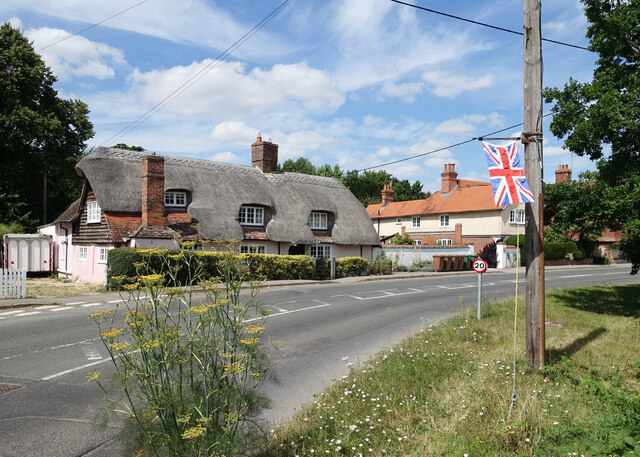
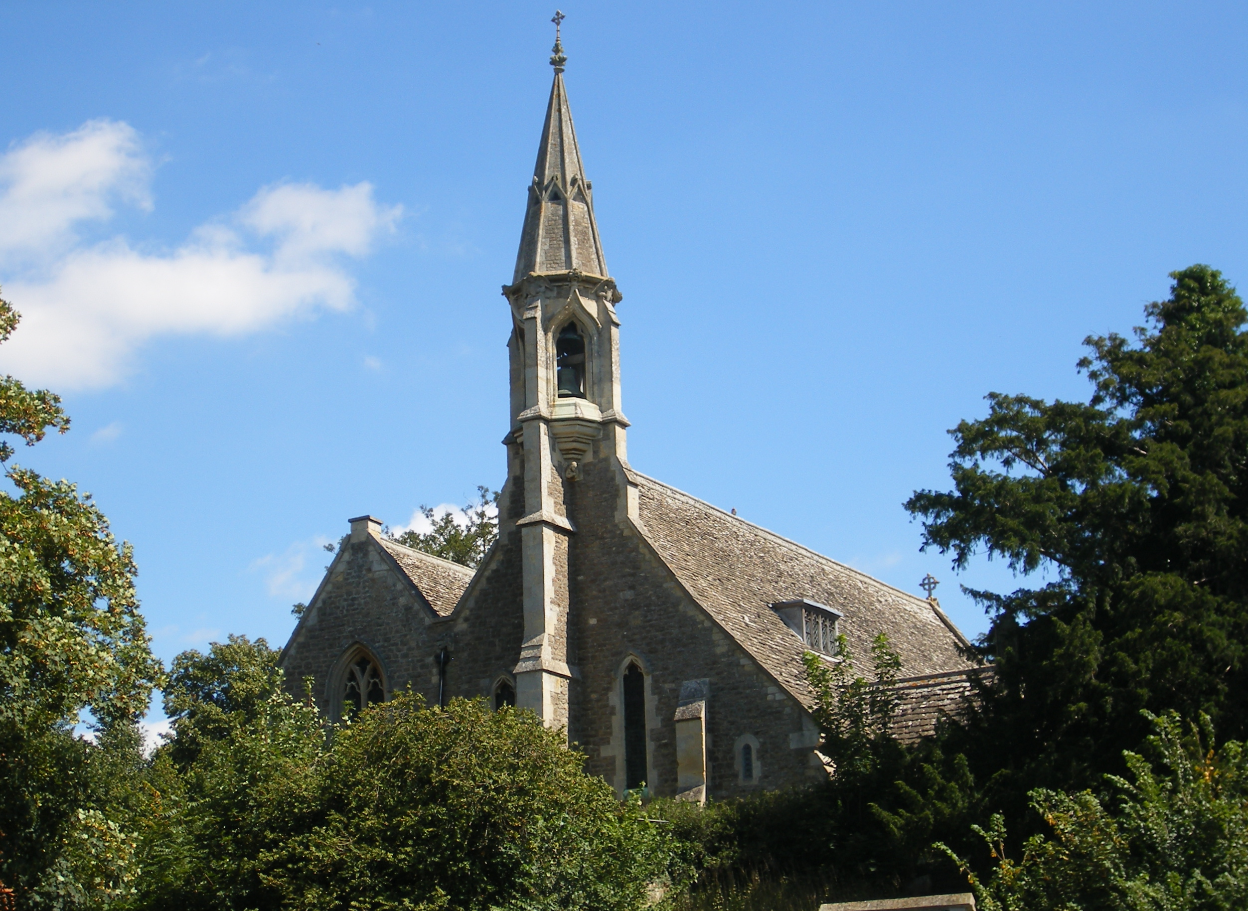
With a population of around 500 residents, Clifton Hampden boasts a rich history dating back to Saxon times. It is known for its well-preserved thatched cottages, stone walls, and traditional English gardens. The village is a designated conservation area, preserving its rural character and architectural heritage.
One of the notable landmarks in Clifton Hampden is the Clifton Hampden Bridge, a Grade II listed structure that spans across the River Thames. Built in 1864, this historic bridge provides a scenic crossing and is a popular spot for visitors and locals alike.
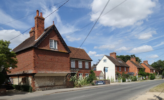
The village is also home to the Barley Mow, a traditional English pub that has been serving locals and tourists since the 17th century. It offers a warm and welcoming atmosphere, serving a variety of local ales and traditional pub food.
For those seeking outdoor activities, Clifton Hampden offers beautiful riverside walks and cycling routes. The Thames Path, a long-distance footpath, passes through the village, providing access to stunning scenery and wildlife.
Overall, Clifton Hampden is a quintessential English village, offering a peaceful retreat from the hustle and bustle of city life. Its historic charm, scenic beauty, and community spirit make it a delightful destination for visitors and a cherished home for its residents.
If you have any feedback on the listing, please let us know in the comments section below.
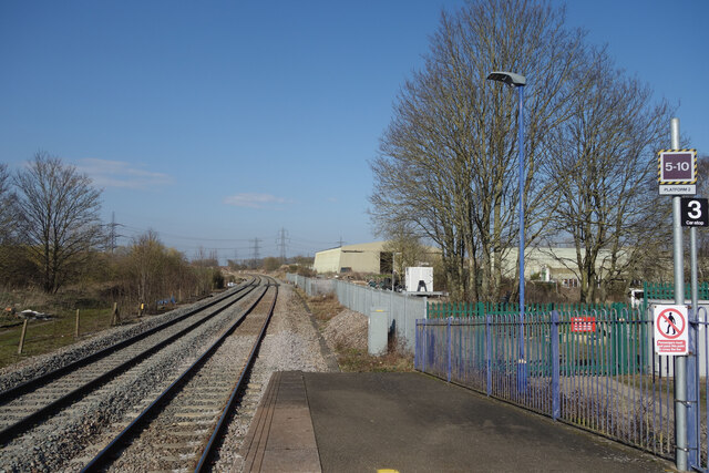
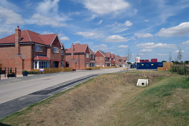
Clifton Hampden Images
Images are sourced within 2km of 51.655242/-1.211611 or Grid Reference SU5495. Thanks to Geograph Open Source API. All images are credited.


Clifton Hampden is located at Grid Ref: SU5495 (Lat: 51.655242, Lng: -1.211611)
Administrative County: Oxfordshire
District: South Oxfordshire
Police Authority: Thames Valley
What 3 Words
///catching.parkland.arming. Near Radley, Oxfordshire
Nearby Locations
Related Wikis
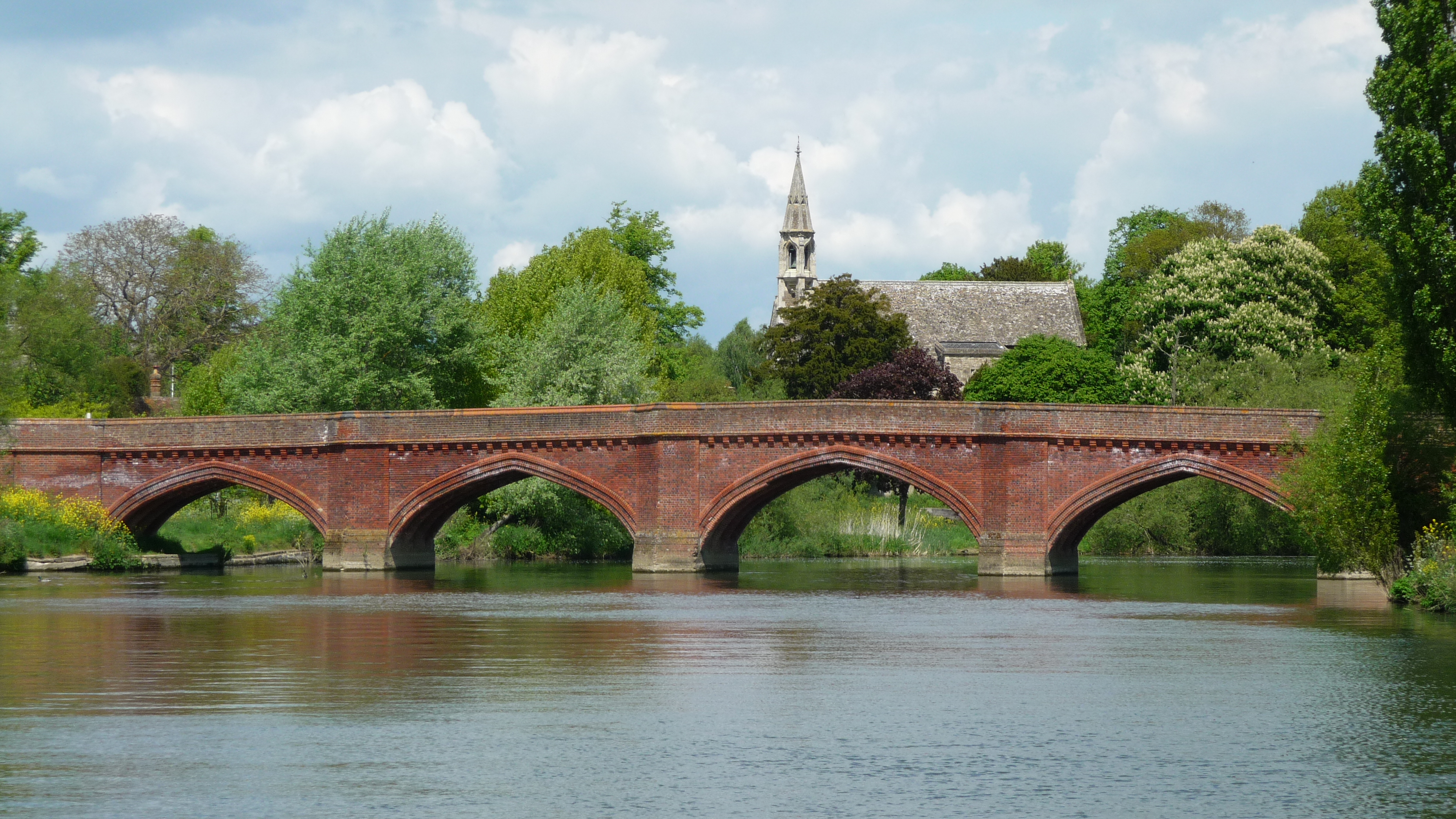
Clifton Hampden Bridge
Clifton Hampden Bridge is a road bridge crossing the River Thames in Clifton Hampden, Oxfordshire, England, situated on the reach below Clifton Lock. Originally...
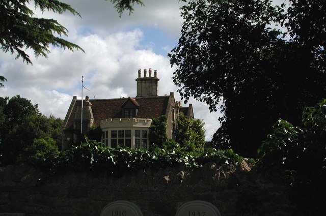
Clifton Hampden Manor
Clifton Hampden Manor is a country house in the village of Clifton Hampden, Oxfordshire, England, overlooking the River Thames. It has been a Grade II...
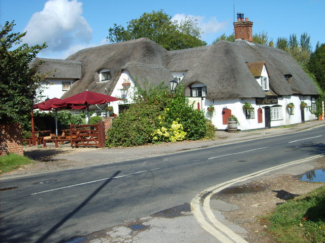
The Barley Mow, Clifton Hampden
The Barley Mow is a historic public house, just south of the River Thames near the bridge at Clifton Hampden, Oxfordshire, England. == Overview == The...
Clifton Hampden
Clifton Hampden is a village and civil parish on the north bank of the River Thames, just over 3 miles (5 km) east of Abingdon in Oxfordshire. Since 1932...
Nearby Amenities
Located within 500m of 51.655242,-1.211611Have you been to Clifton Hampden?
Leave your review of Clifton Hampden below (or comments, questions and feedback).