Cat Wood

Wood, Forest in Somerset Somerset West and Taunton

England

Cat Wood

Lower Cock Farm 25 acre farm located on the edge of Sedgemoor D.C. The property is not grade listed but thought to be originally built around 1880.
Lower Cock Farm Credit: Iain Laslett

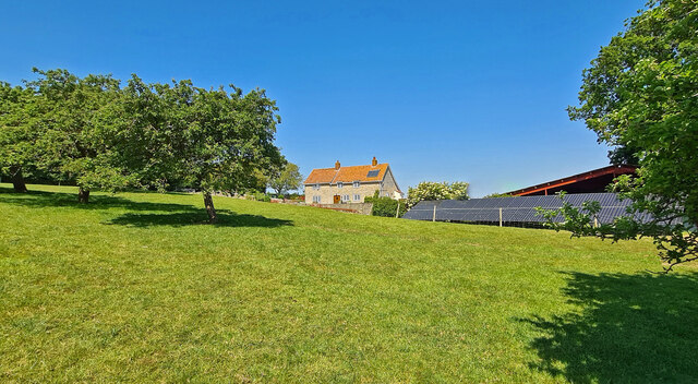
Cat Wood is a beautiful and tranquil forest located in Somerset, England. It is known for its dense woodland, towering trees, and diverse wildlife. The forest covers an area of approximately 50 acres and is a popular destination for nature enthusiasts, hikers, and birdwatchers.

Cat Wood is home to a variety of tree species, including oak, beech, and birch, which provide a rich habitat for a wide range of bird species such as robins, thrushes, and woodpeckers. The forest floor is covered with a lush carpet of ferns, wildflowers, and mosses, creating a magical and enchanting atmosphere.

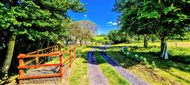
Visitors to Cat Wood can enjoy peaceful walks along the well-marked trails that wind through the forest, offering stunning views of the surrounding countryside. There are also picnic areas and benches scattered throughout the woodland, providing the perfect spot to relax and enjoy the sights and sounds of nature.

Overall, Cat Wood is a hidden gem in Somerset, offering a peaceful retreat from the hustle and bustle of everyday life. It is a place where visitors can connect with nature, unwind, and recharge in a serene and picturesque setting.

If you have any feedback on the listing, please let us know in the comments section below.
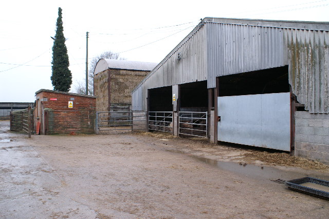
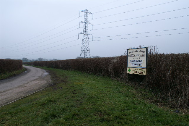
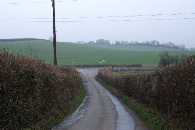
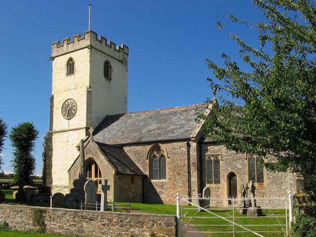
Cat Wood Images

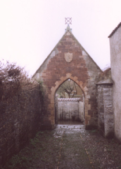
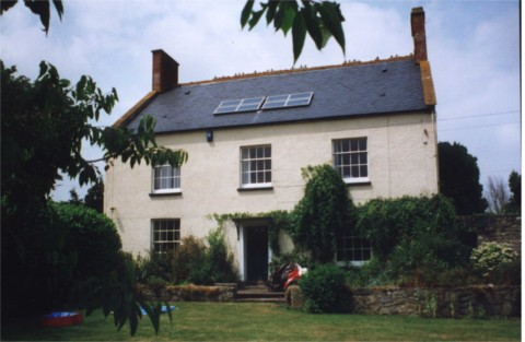
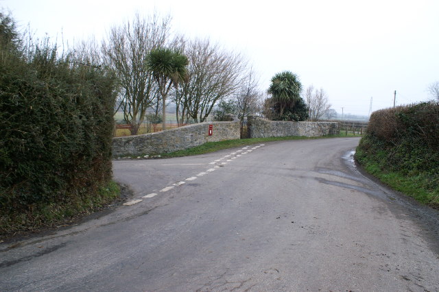
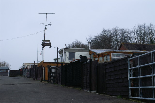
Images are sourced within 2km of 51.179475/-3.1223306 or Grid Reference ST2142. Thanks to Geograph Open Source API. All images are credited.

Lower Cock Farm 25 acre farm located on the edge of Sedgemoor D.C. The property is not grade listed but thought to be originally built around 1880.
Lower Cock Farm
25 acre farm located on the edge of Sedgemoor D.C. The property is not grade listed but thought to be originally built around 1880.
Lower Cock Lane Easterly end of Lower Cock Lane.  A country track single lane leading to Lower Cock Farm.
Lower Cock Lane
Easterly end of Lower Cock Lane. A country track single lane leading to Lower Cock Farm.
Hillside Farm, Cockwood
Monkton Cottages
Monkton Cottages
The centre of Stogursey On the left, Stogursey Motors and village shop; on the right, the war memorial
The centre of Stogursey
On the left, Stogursey Motors and village shop; on the right, the war memorial
Acland Hotel, Stogursey Now holiday apartments
Acland Hotel, Stogursey
Now holiday apartments
St Andrews Street, Stogursey, and cross base The Central Cross is described <a href="https://www.geograph.org.uk/photo/6049532">ST2042 : Old Central Cross by High Street, Stogursey parish</a>
St Andrews Street, Stogursey, and cross base
Old Central Cross by High Street, Stogursey
St Andrew's Well, Stogursey This is the entrance to the courtyard containing the well. It is not a conventional well being more like a spring. Water comes out of 3 lead spouts into 2 cisterns. The right hand spout is said to be softer. The water is used for baptisms in the church.
St Andrew's Well, Stogursey
This is the entrance to the courtyard containing the well. It is not a conventional well being more like a spring. Water comes out of 3 lead spouts into 2 cisterns. The right hand spout is said to be softer. The water is used for baptisms in the church.
Stogursey church from main street
Bonsonwood farm, near Fiddington
Shurton Inn
Shurton Inn
Road Junction near Wick
Caravan site on Farringdon Hill
Farmyard at Cock Farm
Farmyard at Upper Monkton Farm, with pigs.
Road to Coultings
Road to Coultings
Show me another place!

Cat Wood is located at Grid Ref: ST2142 (Lat: 51.179475, Lng: -3.1223306)

Administrative County: Somerset

District: Somerset West and Taunton

Police Authority: Avon and Somerset

What 3 Words

///sniff.headsets.bibs. Near Nether Stowey, Somerset

Related Wikis

Stogursey

Stogursey is a small village and civil parish in the Quantock Hills in Somerset, England. It is situated 3 miles (4.8 km) from Nether Stowey, and 8 miles...

Stogursey Priory

Stogursey Priory, also called Stoke Courcy Priory or The Priory of St Andrew de Stoke, was a Benedictine alien priory dedicated to St Andrew at Stogursey...

Stogursey Castle

Stogursey Castle is a medieval castle in Somerset, England. Most of the site is in ruins, but there is a thatched gatehouse used for holiday rental by...

Church of St Martin, Fiddington

The Anglican Church of St Martin in Fiddington within the English county of Somerset dates from the 11th century and has been designated by English Heritage...

Nearby Amenities

Located within 500m of 51.179475,-3.1223306
Post Box
Operator: Royal Mail
Operator Wikidata: Q638098
Post Box Type: lamp
Ref: TA5 133D
Royal Cypher: EIIR
Royal Cypher Wikidata: Q33102113
Lat/Long: 51.1776839/-3.1157929
Give Way
Lat/Long: 51.1766134/-3.1236861
Power: pole
Lat/Long: 51.1831395/-3.1255031
Power: pole
Lat/Long: 51.1822568/-3.1255513
Power: pole
Lat/Long: 51.1813506/-3.1255782
Power: pole
Lat/Long: 51.1805217/-3.1256372
Power: pole
Lat/Long: 51.1776649/-3.1193045
Power: pole
Lat/Long: 51.1775253/-3.12038
Power: pole
Lat/Long: 51.1773857/-3.121473
Power: pole
Lat/Long: 51.1766803/-3.1225057
Power: pole
Lat/Long: 51.1760784/-3.1234364
Power: pole
Lat/Long: 51.1756378/-3.1241043
Power: pole
Lat/Long: 51.1786536/-3.1257123
Power: pole
Lat/Long: 51.1778498/-3.1257686
Power: pole
Lat/Long: 51.1770478/-3.1255755
Power: pole
Lat/Long: 51.1759262/-3.125326
Turning Circle
Lat/Long: 51.1787221/-3.1178013
The data included in this document is from www.openstreetmap.org. The data is made available under ODbL.

Have you been to Cat Wood?

Leave your review of Cat Wood below (or comments, questions and feedback).