Barn Covert
Wood, Forest in Devon East Devon
England
Barn Covert

Barn Covert is a beautiful woodland area located in Devon, England. This tranquil forest is a haven for nature enthusiasts and those seeking a peaceful retreat. The forest covers an expansive area of land, providing ample space for exploration and outdoor activities.
Barn Covert is characterized by its dense canopy of trees, which includes a variety of species such as oak, beech, and birch. The forest floor is adorned with an abundance of vibrant wildflowers, creating a picturesque setting. The diversity of plant life in Barn Covert supports a thriving ecosystem, attracting a wide range of wildlife including deer, foxes, and a plethora of bird species.
Visitors to Barn Covert can enjoy a multitude of recreational activities. There are several well-maintained walking trails that meander through the forest, allowing visitors to immerse themselves in the natural beauty of the surroundings. These trails cater to all levels of fitness, from leisurely strolls to more challenging hikes.
In addition to walking, Barn Covert offers opportunities for birdwatching, photography, and picnicking. The peaceful atmosphere provides the perfect backdrop for relaxation and unwinding. As an added bonus, the forest is notably less crowded than some of the more popular tourist destinations in the area, allowing visitors to enjoy a more intimate experience with nature.
Overall, Barn Covert is a hidden gem in Devon, offering a serene escape from the bustle of everyday life. Its natural beauty, diverse wildlife, and range of recreational activities make it a must-visit destination for nature lovers and outdoor enthusiasts.
If you have any feedback on the listing, please let us know in the comments section below.
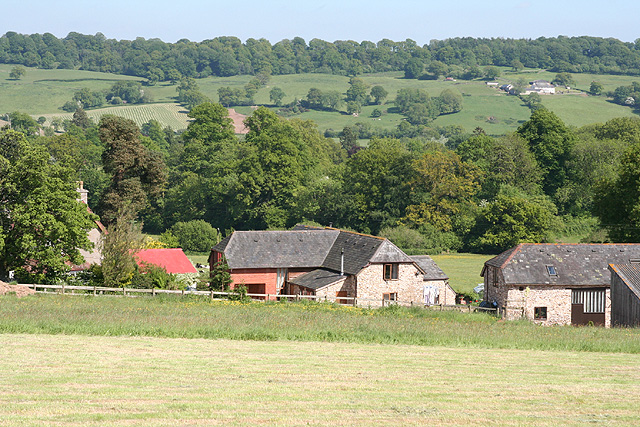
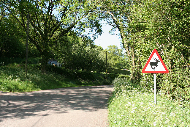
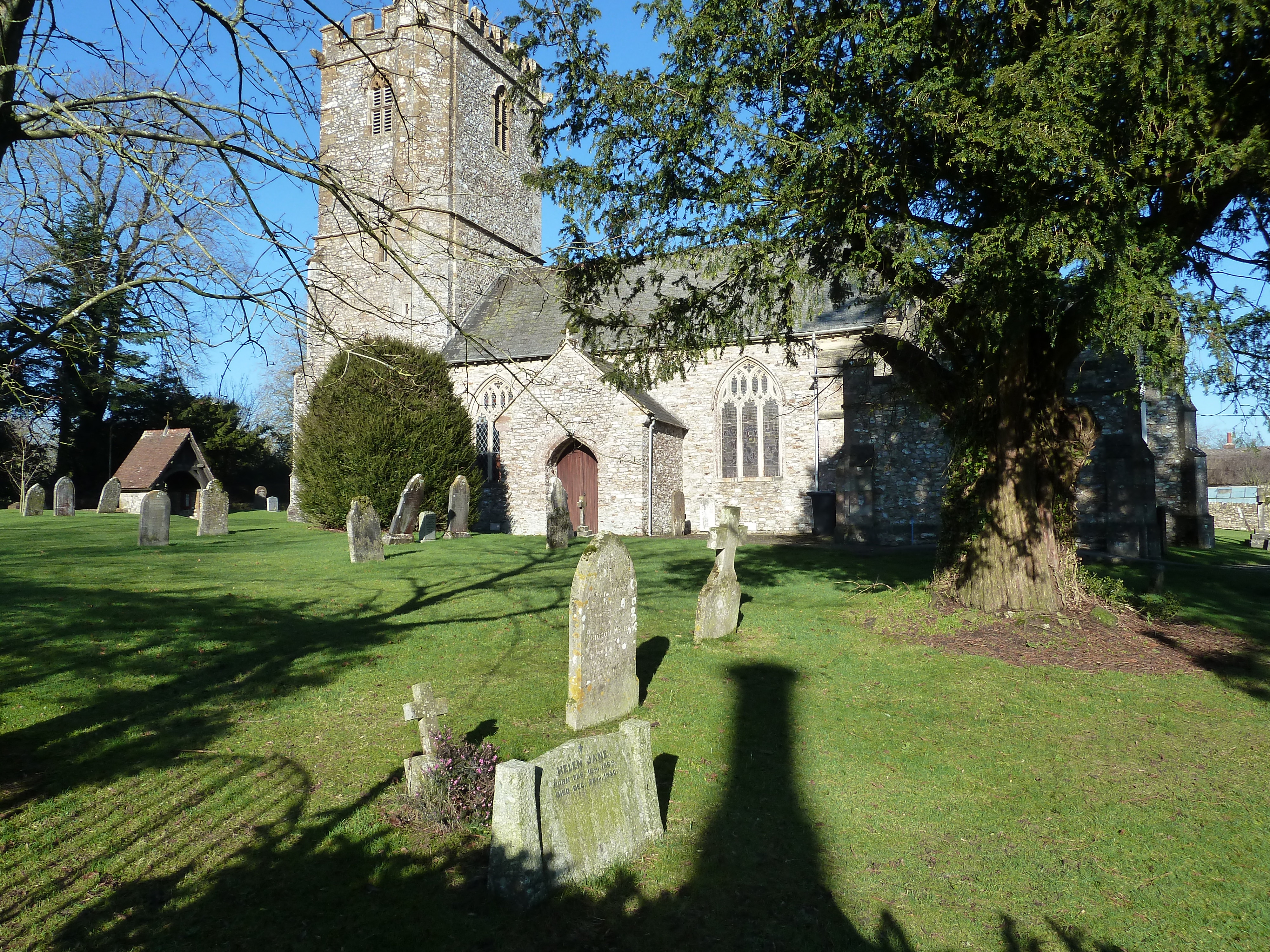
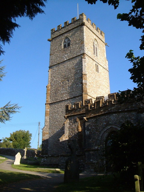
Barn Covert Images
Images are sourced within 2km of 50.857586/-3.1213326 or Grid Reference ST2107. Thanks to Geograph Open Source API. All images are credited.


Barn Covert is located at Grid Ref: ST2107 (Lat: 50.857586, Lng: -3.1213326)
Administrative County: Devon
District: East Devon
Police Authority: Devon and Cornwall
What 3 Words
///absorb.bombshell.expert. Near Dunkeswell, Devon
Nearby Locations
Related Wikis
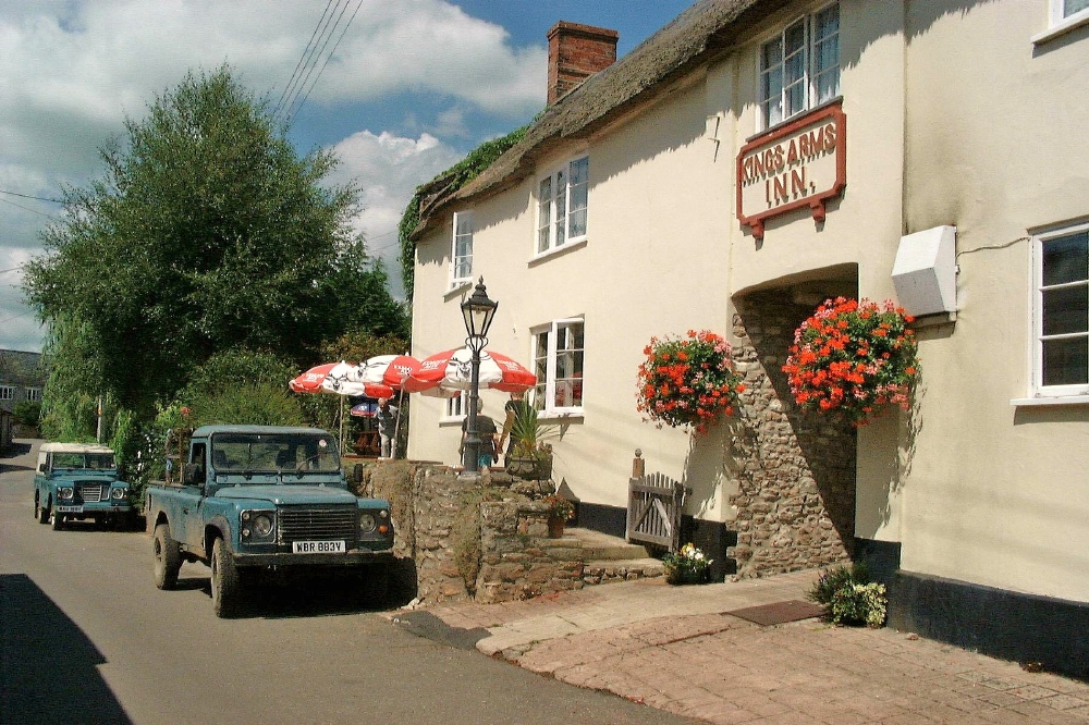
Upottery
Upottery (originally Up Ottery) is a rural village, civil parish and former manor in East Devon, England. == Location == Upottery takes up both sides of...

Mohuns Ottery
Mohuns Ottery or Mohun's Ottery ( "moon's awtrey"), is a house and historic manor in the parish of Luppitt, 1 mile south-east of the village of Luppitt...

Hartridge Hill
Hartridge Hill is an elongated, peat hill situated in the Luppitt catchment area of East Devon, England. Mostly privately owned and primarily used for...
Yarcombe
Yarcombe is a village and civil parish in the county of Devon, England, situated in the East Devon administrative district on the A30 road near the towns...

RAF Upottery
RAF Upottery (also known as Smeatharpe) is a former Royal Air Force station in East Devon, England. The airfield is located near the village of Upottery...
Stockland, Devon
Stockland is a village and civil parish in Devon, close to the Somerset boundary. The parish is surrounded clockwise from the north by the parishes of...
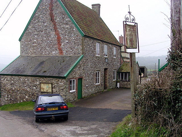
Luppitt Inn
The Luppitt Inn is the only public house at Luppitt, Devon. Located in the front rooms of a farmhouse, the building is constructed from stone, rendered...

Luppitt
Luppitt is a village and civil parish in East Devon situated about 6 kilometres (4 mi) due north of Honiton. The historian William Harris was preacher...
Nearby Amenities
Located within 500m of 50.857586,-3.1213326Have you been to Barn Covert?
Leave your review of Barn Covert below (or comments, questions and feedback).