Clifton
Settlement in Yorkshire Harrogate
England
Clifton
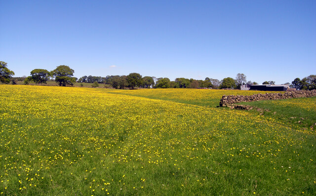
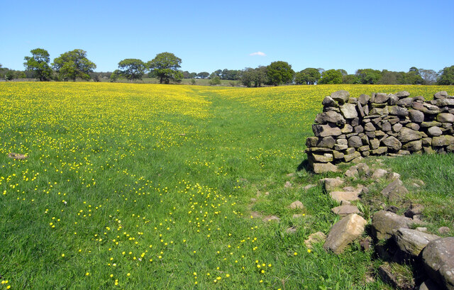
Clifton is a picturesque village located in the county of Yorkshire, England. Situated in the Ryedale district, it lies approximately 20 miles northwest of the historic city of York. Clifton is known for its stunning natural beauty, charming stone houses, and friendly community.
The village is surrounded by rolling hills and lush green fields, providing a tranquil and idyllic setting for residents and visitors alike. The River Derwent flows nearby, offering opportunities for peaceful walks along its banks. Clifton is also within close proximity to the Howardian Hills Area of Outstanding Natural Beauty, which further enhances the area's appeal to nature enthusiasts.
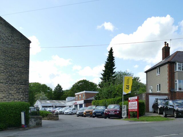
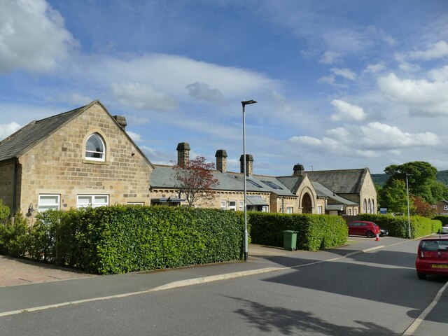
Within the village, there are a few amenities to cater to the needs of the local population. These include a village hall, a primary school, a church, and a small convenience store. Clifton also benefits from excellent transport links, with the A64 road passing nearby, providing easy access to York and other major cities.
The community in Clifton is known for its welcoming and inclusive nature. The village often organizes various events and gatherings throughout the year, fostering a strong sense of community spirit. Residents can also enjoy the beautiful surroundings through activities such as hiking, cycling, and picnicking.
Overall, Clifton in Yorkshire is a charming and peaceful village, offering a perfect blend of natural beauty, community spirit, and convenient amenities. It is an ideal place for those seeking a serene countryside escape while remaining within reach of urban centers.
If you have any feedback on the listing, please let us know in the comments section below.
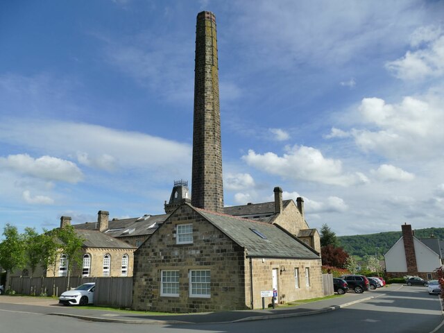
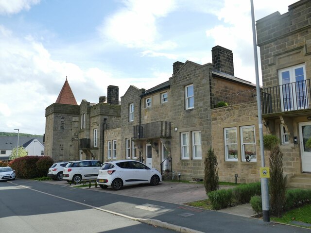
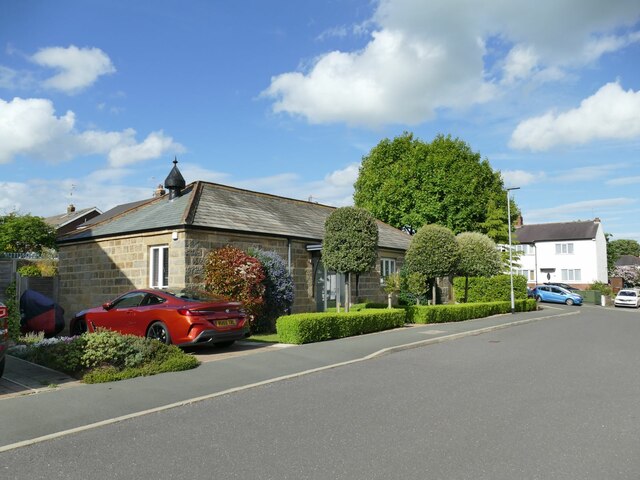
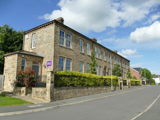
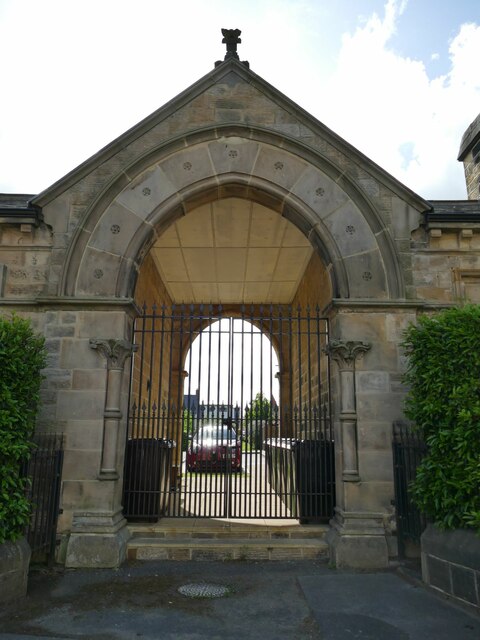
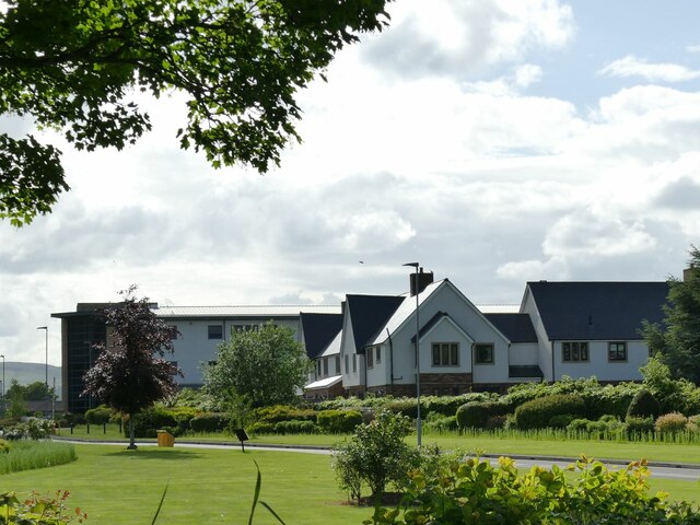
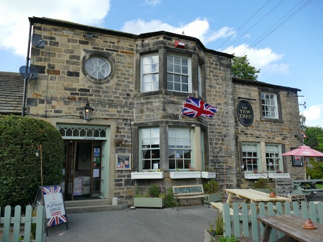
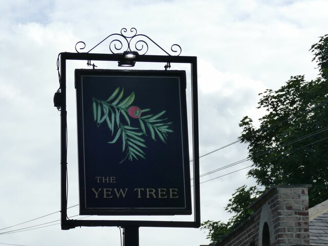
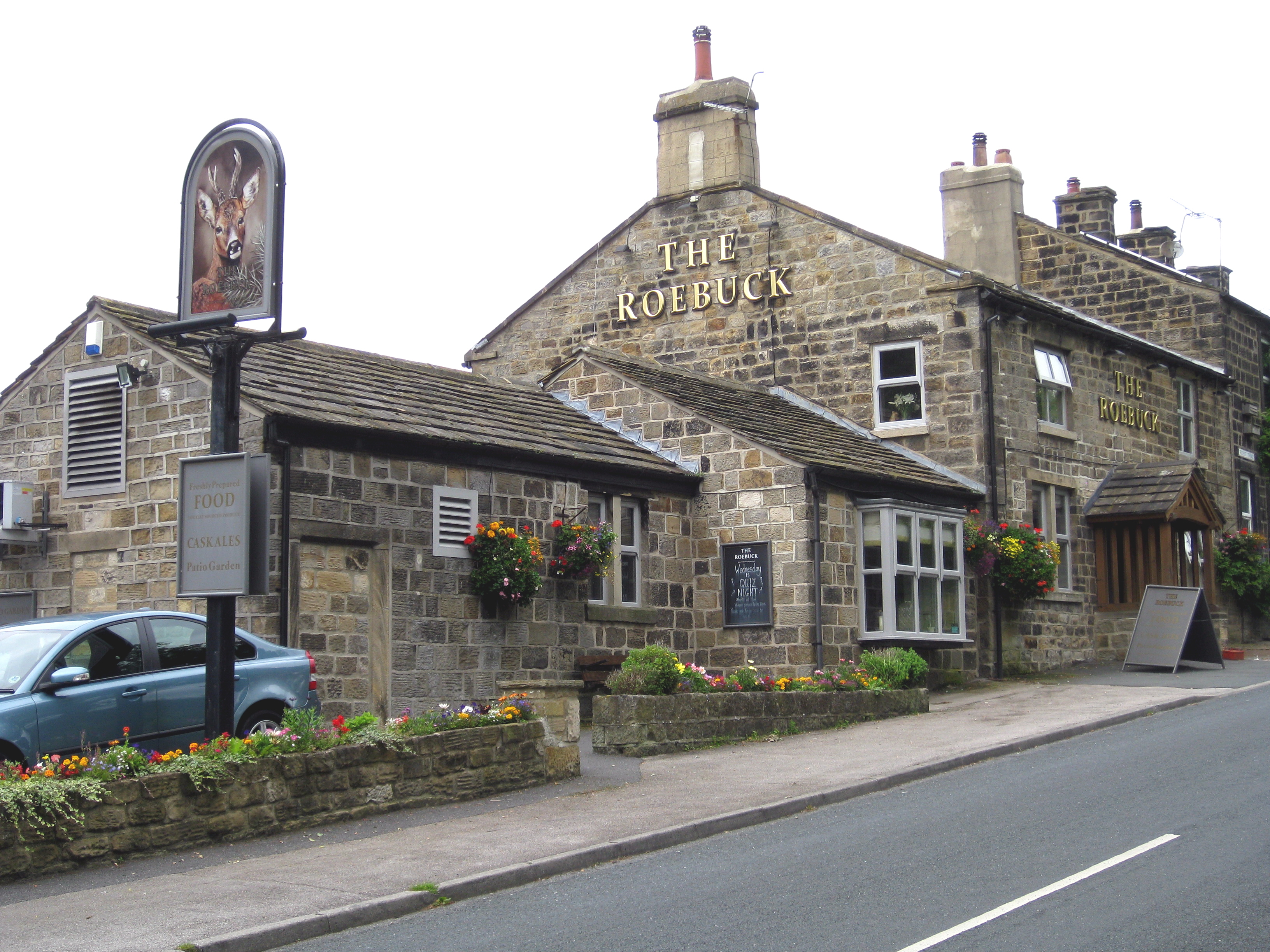
Clifton Images
Images are sourced within 2km of 53.929079/-1.7080632 or Grid Reference SE1948. Thanks to Geograph Open Source API. All images are credited.


Clifton is located at Grid Ref: SE1948 (Lat: 53.929079, Lng: -1.7080632)
Division: West Riding
Administrative County: North Yorkshire
District: Harrogate
Police Authority: North Yorkshire
What 3 Words
///coverage.emblem.relishing. Near Otley, West Yorkshire
Nearby Locations
Related Wikis
Newall with Clifton
Newall with Clifton (historically also spelt Newell with Clifton) is a civil parish in North Yorkshire, England. It lies two miles north of Otley in West...

Wharfedale Hospital
Wharfedale Hospital (formerly known as Wharfedale General Hospital) is located in the market town of Otley, West Yorkshire, England, and is managed by...

Weston, North Yorkshire
Weston is a village and civil parish in the former Harrogate district of North Yorkshire, England. The village is 1.2 miles (2 km) north–west of Otley...

Newall, West Yorkshire
Newall (historically also spelt Newell) is an area of Otley in West Yorkshire, England. It lies on the north bank of the River Wharfe, across Otley Bridge...

Weston Hall, Yorkshire
Weston Hall is a country house and Grade I listed building in Weston, North Yorkshire, England. == History and architecture == The house has been in the...

Prince Henry's Grammar School, Otley
Prince Henry's Grammar School (Specialist Language College), also known as Prince Henry's or PHGS, is a secondary school and sixth form established in...

Askwith
Askwith is a village and civil parish in North Yorkshire, England, with a population of 220 (2001 census), increasing to 240 at the 2011 Census. The village...
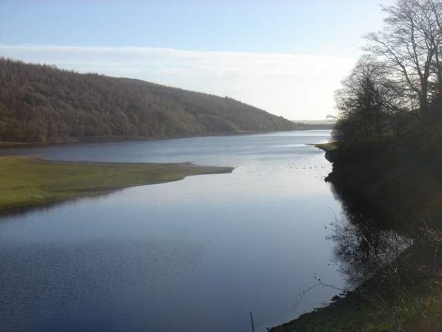
Lindley Wood Reservoir
Lindley Wood Reservoir is located in the Washburn valley north of Otley in Yorkshire, England. == History == The reservoir was built by navvies between...
Nearby Amenities
Located within 500m of 53.929079,-1.7080632Have you been to Clifton?
Leave your review of Clifton below (or comments, questions and feedback).