Alder Grove
Wood, Forest in Devon East Devon
England
Alder Grove

Alder Grove, Devon, located in the southwestern part of England, is a stunning wood known for its picturesque landscapes and dense population of alder trees. Situated in the heart of Dartmoor National Park, this enchanting forest covers an expansive area of approximately 500 acres.
The woodland is renowned for its biodiversity, hosting a wide variety of plant and animal species. The dominant feature of the grove is the alder tree, which thrives in the damp and marshy conditions prevalent in the area. The trees, with their distinct silvery bark and serrated leaves, create a captivating sight, particularly during autumn when their foliage turns a vibrant shade of yellow.
Visitors to Alder Grove can explore a network of well-maintained footpaths that wind through the forest, offering a tranquil and immersive experience in nature. The dense canopy of the trees provides ample shade, and the air is filled with the soothing sounds of chirping birds and rustling leaves. The grove is also home to a diverse range of wildlife, including various species of birds, small mammals, and insects.
Alder Grove holds significant ecological importance as it serves as a natural water filter, with the alder trees helping to purify the water and prevent erosion. The grove's wetland habitat attracts a multitude of bird species, making it a popular spot for birdwatching enthusiasts.
Overall, Alder Grove, Devon is a haven for nature lovers and those seeking a peaceful retreat in the midst of a breathtaking forest setting. Its unique ecosystem and natural beauty make it a must-visit destination for anyone exploring the Devon area.
If you have any feedback on the listing, please let us know in the comments section below.
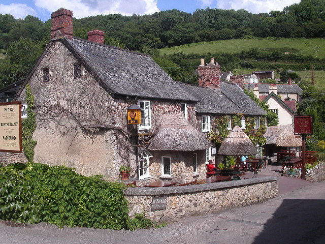
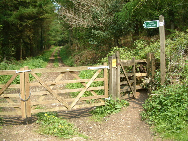
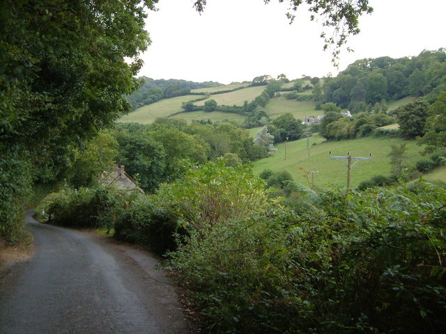
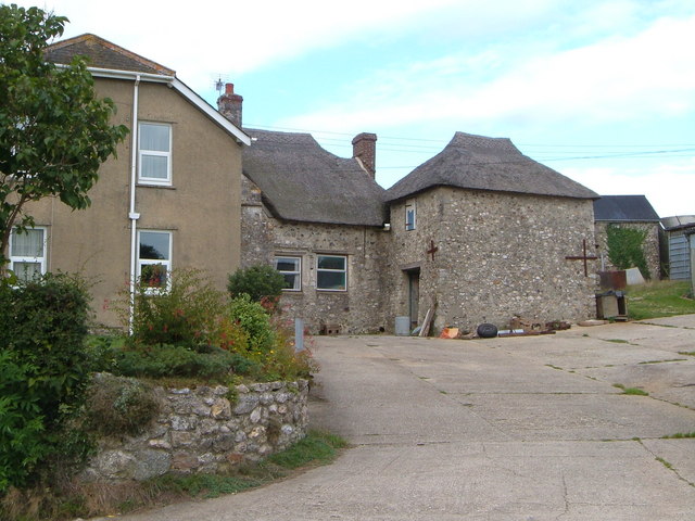
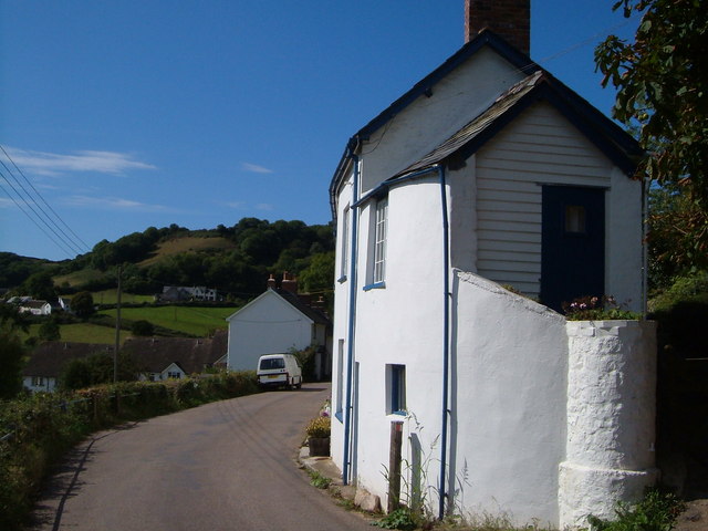
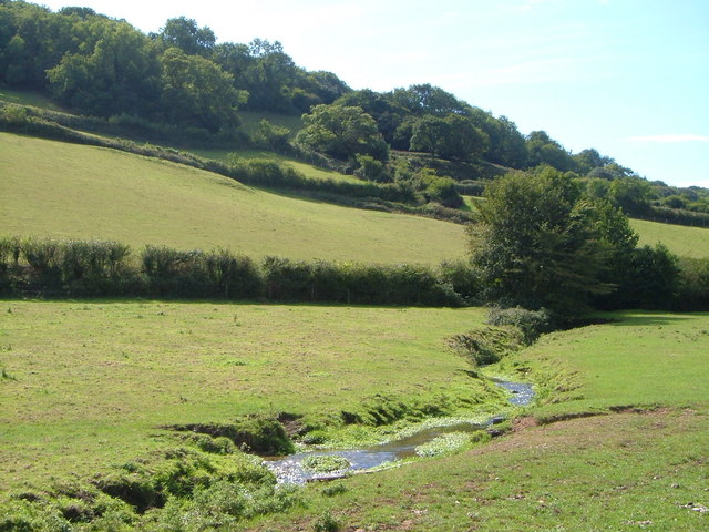
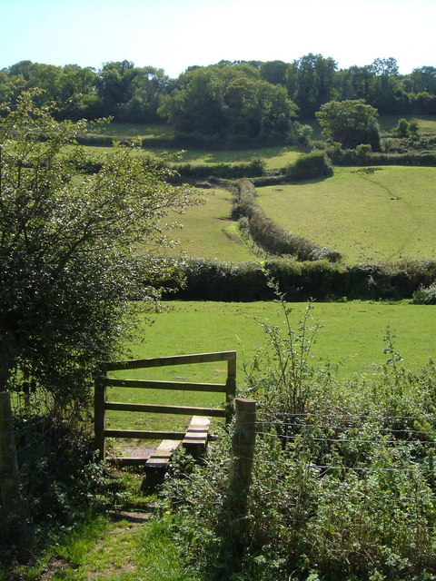
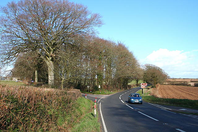
Alder Grove Images
Images are sourced within 2km of 50.704292/-3.1307422 or Grid Reference SY2090. Thanks to Geograph Open Source API. All images are credited.


Alder Grove is located at Grid Ref: SY2090 (Lat: 50.704292, Lng: -3.1307422)
Administrative County: Devon
District: East Devon
Police Authority: Devon and Cornwall
What 3 Words
///directors.amid.forgets. Near Colyton, Devon
Nearby Locations
Related Wikis

Beer Quarry Caves
Beer Quarry Caves is a man-made limestone underground complex located about a mile west of the village of Beer, Devon, and the main source in England for beer stone. The tunnels resulted from 2,000 years of quarrying beer stone, which was particularly favoured for cathedral and church features such as door and window surrounds because of its colour and workability for carving. Stone from the quarry was used in the construction of several of southern England's ancient cathedrals and a number of other important buildings as well as for many town and village churches, and for some buildings in the United States.
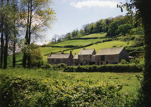
The Old Bakery, Manor Mill & Forge
The Old Bakery, Manor Mill & Forge is a collection of buildings in Branscombe, Seaton, Devon, England. The property has been in the ownership of the National Trust since 1965. The property consists of three buildings: a bakery, a watermill and a forge.

Berry Camp
Berry Camp or Berry Cliff, is an Iron Age Hill fort on a partially eroded cliff top close to Branscombe in Devon. The cliff is situated some 140 metres (460 ft) above sea level.Berry Camp is a rectangular promontory hillfort located on a plateau, close to the cliff edge at Langham Field on Littlecombe Hill at Berry Cliff, Branscombe, Devon. It is part of the Jurassic Coast World Heritage Site, which is also a Site of Special Scientific Interest.

St Winifred's Church, Branscombe
St Winifred's Church is a Church of England church in Branscombe in Devon, England. The church is dedicated to Saint Winifred, a Welsh saint. It is among the oldest and most architecturally significant parish churches of Devon.

Branscombe
Branscombe is a village in the East Devon district of the English County of Devon. The parish covers 3,440 acres (1,390 ha). Its permanent population in 2009 was estimated at 513 by the Family Health Services Authority, reducing to 507 at the 2011 Census.

Street, Devon
Street is a small village in the East Devon district of Devon, England. Its nearest town is Sidmouth, which lies approximately 4 miles (6.4 km) south-west from the village. The village is situated north from the Jurassic Coast World Heritage Site.
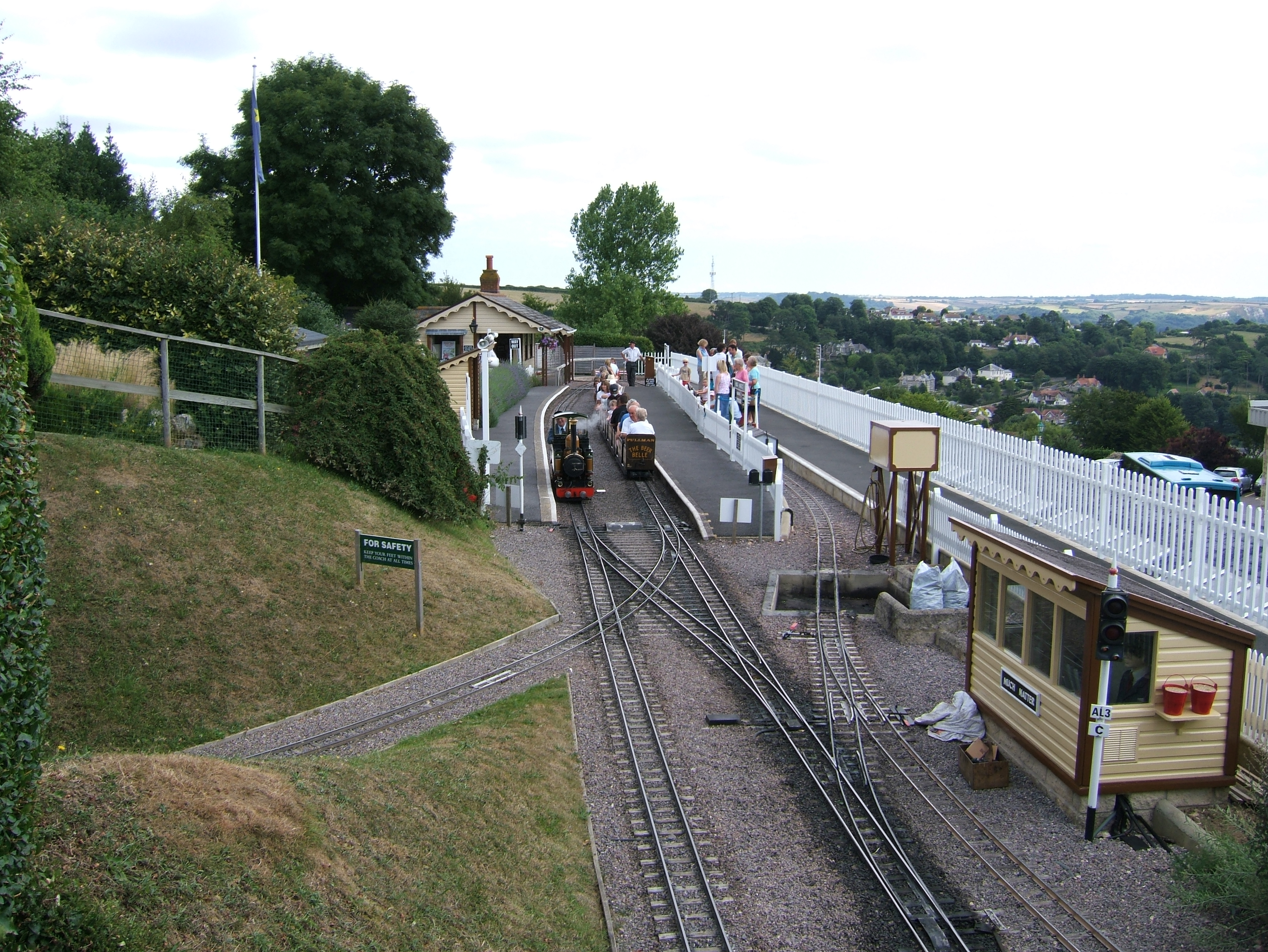
Beer Heights Light Railway
The Beer Heights Light Railway operates 1 mile (1.6 km) of minimum gauge 7+1⁄4 in (184 mm) track at Beer, Devon, England. It is part of Pecorama, an exhibition owned by Peco. == Overview == The official opening was by Rev.

Pecorama
Pecorama (or Pecorama Pleasure Gardens) is a tourist attraction on the hillside above the village of Beer, Devon, in southwest England, that includes a display of many model railways, gardens, a shop, and the Beer Heights Light Railway.The attraction is owned and run by PECO, a UK-based manufacturer of model railway accessories. The factory is on the same site. Pecorama is also home to "Teddy Mac and the Railway Bears", a series of children's books written by Margaret Edmonds.
Related Videos
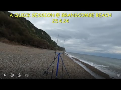
A QUICK SESSION @BRANSCOMBE BEACH
SEA FISHING UK [ BEACH FISHING 2024 [ DEVON SEA FISHING [ .. HAD A QUICK SESSION AT BRANSCOMBE BEACH IN ...

Sea Fishing Uk | Beach Fishing for Sharks | Travel to East Devon
Join Andy on an east Devon beach targeting smooth hound #fishing #fishinglife.
Branscombe Beach & Hooken cliffs
360 view of Branscombe Beach and Hooken cliffs, 16 October 2020.

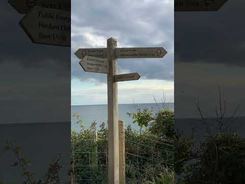
Branscombe to Beer walk and back
Branscombe to Beer cliff walk and back.
Nearby Amenities
Located within 500m of 50.704292,-3.1307422Have you been to Alder Grove?
Leave your review of Alder Grove below (or comments, questions and feedback).