Batty's Moor

Wood, Forest in Devon East Devon

England

Batty's Moor

The valley south of Southleigh The woodland in the centre is just south of Tottiskay Farm (hidden by the hedge)
The valley south of Southleigh Credit: David Smith

Batty's Moor is a captivating woodland located in the county of Devon, England. Spread over an extensive area, this enchanting forest is a nature lover's paradise. Nestled amidst the rolling hills and verdant meadows, Batty's Moor offers a serene and tranquil escape from the hustle and bustle of everyday life.

The woodland is primarily composed of ancient oak trees, which create a dense canopy, casting a mystical ambiance over the entire area. The towering trees provide shade and shelter to a diverse array of flora and fauna, making it a haven for wildlife enthusiasts and botany enthusiasts alike. The forest floor is carpeted with a rich tapestry of wildflowers, ferns, and mosses, lending an ethereal beauty to the landscape.

Batty's Moor is also home to a myriad of wildlife species, including deer, foxes, badgers, and a plethora of bird species. Birdwatchers flock to this woodland to catch a glimpse of elusive species such as the great spotted woodpecker and the tawny owl. The tranquil atmosphere and abundance of food sources make Batty's Moor an ideal habitat for these creatures.

For those seeking adventure, Batty's Moor offers an extensive network of walking trails, allowing visitors to explore the forest at their own pace. The trails wind through the ancient trees, offering breathtaking views of the surrounding countryside and glimpses of the nearby river that meanders through the woodland.

Overall, Batty's Moor is a captivating woodland that showcases the natural beauty of Devon. With its ancient oak trees, diverse wildlife, and picturesque walking trails, it remains a cherished destination for nature enthusiasts and those looking to immerse themselves in the peaceful embrace of the forest.

If you have any feedback on the listing, please let us know in the comments section below.
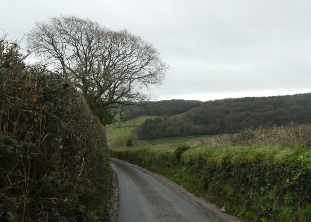
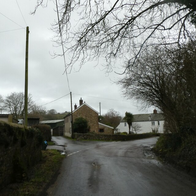
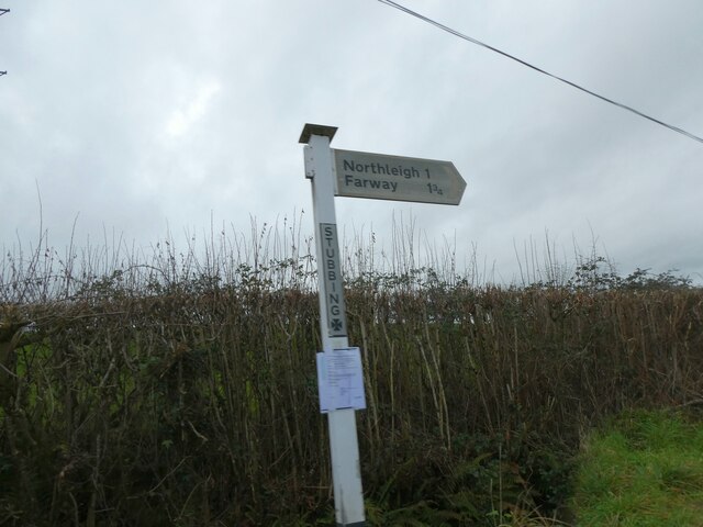
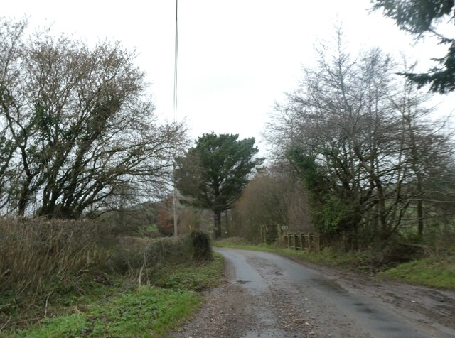
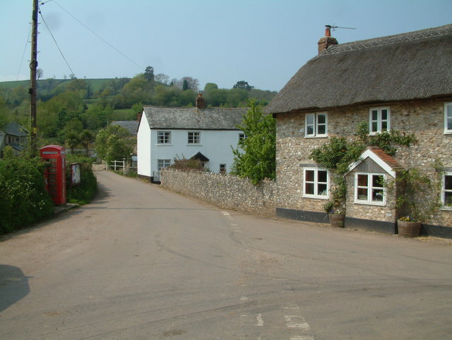
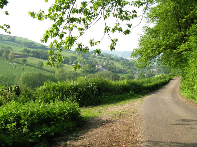
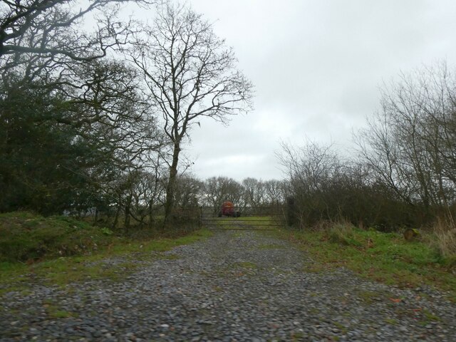
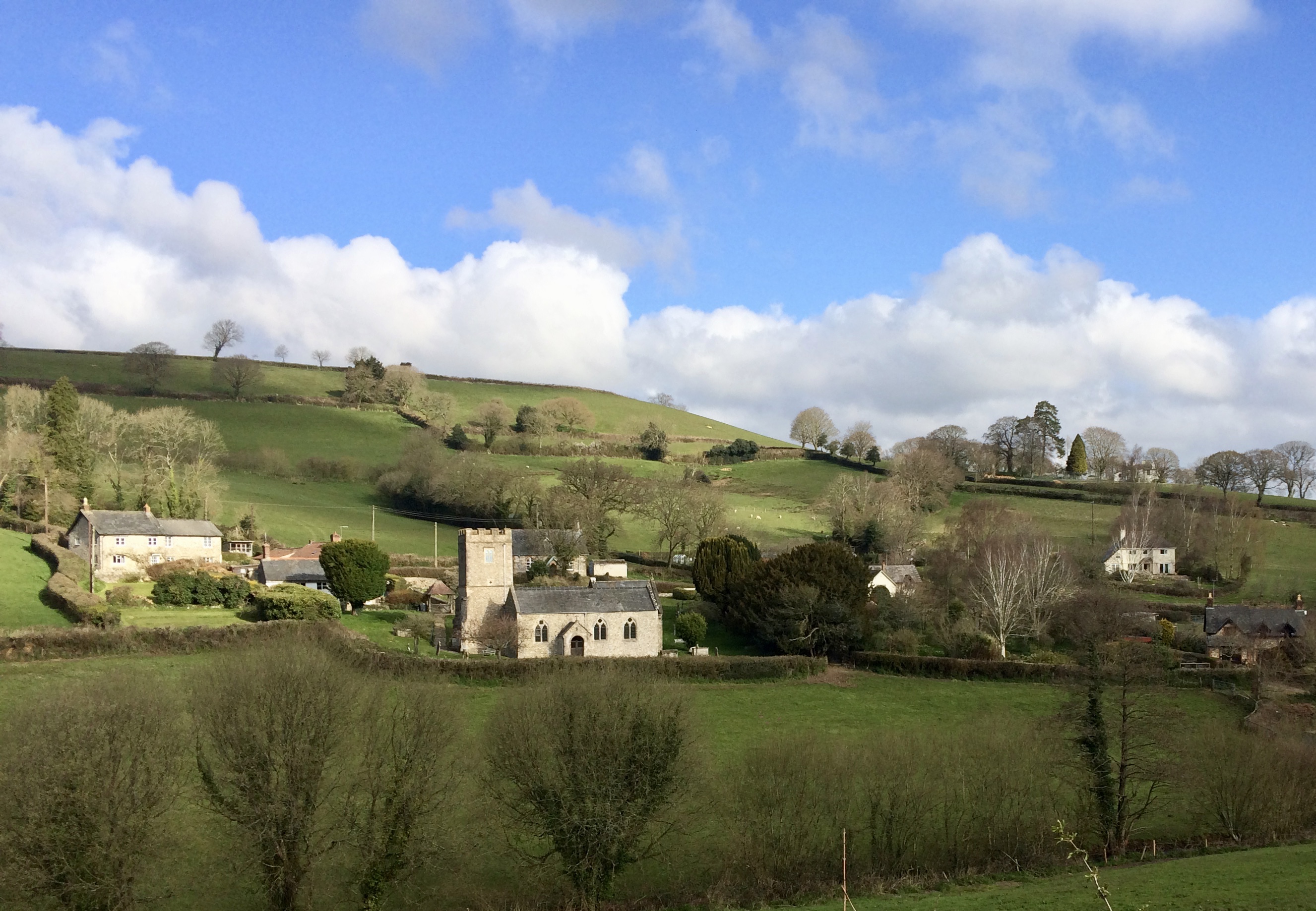
Batty's Moor Images

Images are sourced within 2km of 50.743631/-3.1377559 or Grid Reference SY1994. Thanks to Geograph Open Source API. All images are credited.

The valley south of Southleigh The woodland in the centre is just south of Tottiskay Farm (hidden by the hedge)
The valley south of Southleigh
The woodland in the centre is just south of Tottiskay Farm (hidden by the hedge)
Road junction in Southleigh, and bridge over stream
Moorplash Farm, north of Southleigh
Winter trees north of Southleigh
Signpost at Stubbing Cross
Ford and bridge on Suddon's Lane There is a small footbridge on the right for when the stream flows over the road
Ford and bridge on Suddon's Lane
There is a small footbridge on the right for when the stream flows over the road
Kissing Gate and Public Footpath This photo was taken by the bridge over the River Col near Road Pitt Farm.
Kissing Gate and Public Footpath
This photo was taken by the bridge over the River Col near Road Pitt Farm.
Farwood Barton, Northleigh, Devon View across farmland towards Farwood Barton.
Farwood Barton, Northleigh, Devon
View across farmland towards Farwood Barton.
Moorplash Farm, Devon This farm is just north of soulthleigh.
Moorplash Farm, Devon
This farm is just north of soulthleigh.
Southleigh Village, Devon Southleigh is located within East Devon local authority area. Historically it formed part of Colyton Hundred.
Southleigh Village, Devon
Southleigh is located within East Devon local authority area. Historically it formed part of Colyton Hundred.
Southleigh: nearing the village Looking west with Glebe House on the hill on the right
Southleigh: nearing the village
Looking west with Glebe House on the hill on the right
Bonehayne A large farm in the Coly valley, seen from the edge of Bonehayne Covert. Ball Hill rises behind.
Bonehayne
A large farm in the Coly valley, seen from the edge of Bonehayne Covert. Ball Hill rises behind.
View from Baker's Gate Looking along the ridge towards Ball Hill. The combe on the left drops to the Offwell Brook valley.
View from Baker's Gate
Looking along the ridge towards Ball Hill. The combe on the left drops to the Offwell Brook valley.
Looking towards Ball Hill Ball Hill is the final summit on the ridge between the upper Coly valley and the Offwell Brook valley. This view looks towards it from the track between Baker's Gate and Blamphayne, across the head of a tributary valley of the Offwell Brook. In the distance are woods on the slopes of Colyton Hill.
Looking towards Ball Hill
Ball Hill is the final summit on the ridge between the upper Coly valley and the Offwell Brook valley. This view looks towards it from the track between Baker's Gate and Blamphayne, across the head of a tributary valley of the Offwell Brook. In the distance are woods on the slopes of Colyton Hill.
Purlbridge Farm A farm in the Coly valley that seems to have been overlooked by the passage of time. On Purlbridge Road approaching Bonehayne.
Purlbridge Farm
A farm in the Coly valley that seems to have been overlooked by the passage of time. On Purlbridge Road approaching Bonehayne.
Lane to Southleigh Village Country Lane from Blackbury Camp to Southleigh Village
Lane to Southleigh Village
Country Lane from Blackbury Camp to Southleigh Village
Track to Widcombe Wood
Track and road on Strap Common Another view of this junction is <a href="https://www.geograph.org.uk/photo/6421770">SY1894 : Minor road to Southleigh</a>.  Older OS maps show the track (left) and road (right) as the boundaries of Strap Common; the woodland is from the 20th century.  Modern OS maps show Strap Common as a much larger area, to the north (left).
Track and road on Strap Common
Another view of this junction is SY1894 : Minor road to Southleigh. Older OS maps show the track (left) and road (right) as the boundaries of Strap Common; the woodland is from the 20th century. Modern OS maps show Strap Common as a much larger area, to the north (left).
Show me another place!

Batty's Moor is located at Grid Ref: SY1994 (Lat: 50.743631, Lng: -3.1377559)

Administrative County: Devon

District: East Devon

Police Authority: Devon and Cornwall

What 3 Words

///stormed.dentures.addicted. Near Colyton, Devon

Related Wikis

Woodbridge, Devon

Woodbridge is a hamlet in Farway civil parish, south-south-east of the town of Honiton, in the English county of Devon. The OS grid reference is SY1895...

Southleigh

Southleigh is a village and civil parish in the East Devon district of Devon, England. Its nearest town is Colyton, which lies approximately 3 miles (4...

Northleigh

Northleigh is a village and civil parish in the East Devon district of Devon, England. Its nearest town is Colyton, which lies approximately 3.5 miles...

Wiscombe Park Hillclimb

Wiscombe Park Hillclimb is a British hillclimb, situated in Colyton, Devon. The course, which is 1000 yards (914 metres) in length — the same as Shelsley...

Wiscombe Park

Wiscombe Park is a 19th-century Gothic country house in Southleigh, Devon, UK which stands in parkland some 3 miles west of Colyton. The house is a grade...

Farway

Farway is a small village, civil parish and former manor in the East Devon district of Devon, England. The village is situated about 3+1⁄2 miles (5.6 km...

Blackbury Camp

Blackbury Camp, also known as Blackbury Castle, is an Iron Age hill fort in Devon, England. It is managed by English Heritage. == Location == Blackbury...

Bolshayne Fen

Bolshayne Fen (grid reference SY222938) is a wetland in southeast Devon, England. It has an area of 1.62 hectares. The site was designated as a Site of...

Nearby Amenities

Located within 500m of 50.743631,-3.1377559
Hornshayne
Place: locality
Lat/Long: 50.745451/-3.141302
Generator Method: photovoltaic
Generator Output Electricity: yes
Generator Source: solar
Generator Type: solar_photovoltaic_panel
Location: roof
Power: generator
Source: Bing
Lat/Long: 50.7467988/-3.1400272
Generator Method: photovoltaic
Generator Output Electricity: yes
Generator Source: solar
Generator Type: solar_photovoltaic_panel
Location: roof
Power: generator
Source: Bing
Lat/Long: 50.7467682/-3.1401962
Generator Method: photovoltaic
Generator Output Electricity: yes
Generator Source: solar
Generator Type: solar_photovoltaic_panel
Location: roof
Power: generator
Source: Bing
Lat/Long: 50.7462218/-3.1395873
The data included in this document is from www.openstreetmap.org. The data is made available under ODbL.

Have you been to Batty's Moor?

Leave your review of Batty's Moor below (or comments, questions and feedback).