Patterlegs Plantation

Wood, Forest in Somerset Sedgemoor

England

Patterlegs Plantation

View from Merridge Trig Point - Hinckley Point Power Station in the distance
View from Merridge Trig Point - Hinckley Point Power Station in the distance Credit: thejackrustles

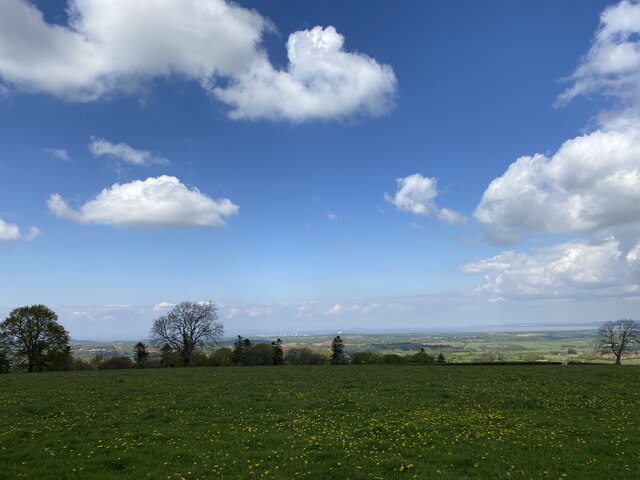
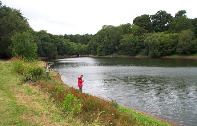
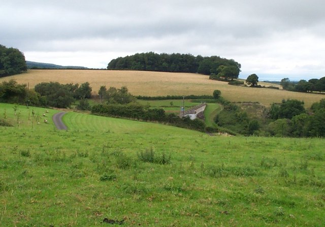
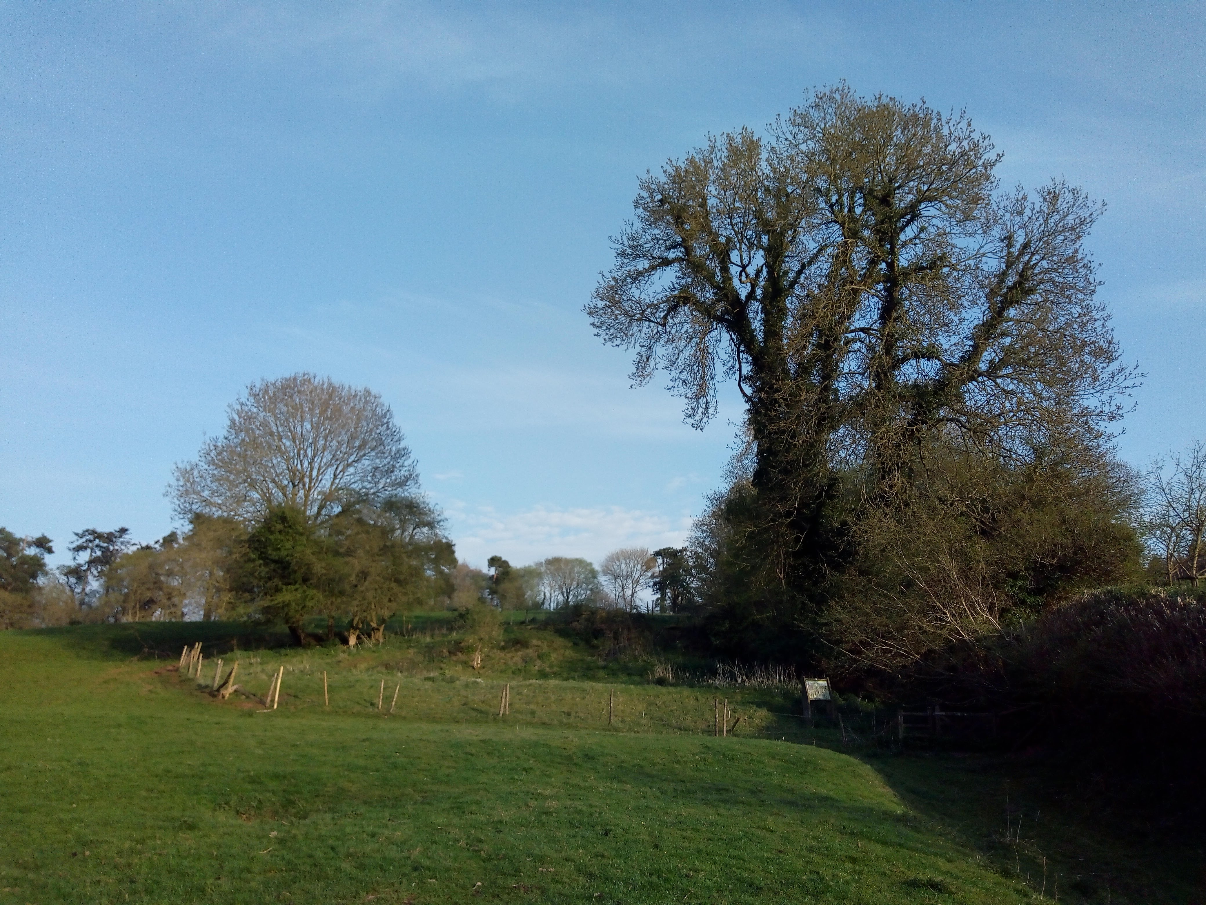
Patterlegs Plantation is a historic woodland area located in Somerset, England. Situated within the larger Somerset Forest, this plantation is known for its beautiful woodlands and rich biodiversity. The plantation covers an area of approximately 500 acres and is home to a variety of flora and fauna.

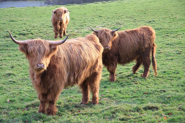
The woodland at Patterlegs Plantation consists mainly of native tree species such as oak, beech, and ash, creating a diverse and vibrant ecosystem. The dense canopy of trees provides habitat for numerous bird species, including woodpeckers, owls, and various songbirds. The understory is filled with a variety of wildflowers, ferns, and mosses, adding to the beauty and ecological value of the plantation.

Patterlegs Plantation has a long history, dating back several centuries. It was originally established as a timber plantation, supplying wood for various industries such as shipbuilding and construction. Over time, the plantation has been managed sustainably, ensuring the preservation of its natural resources while also allowing for selective harvesting of trees.

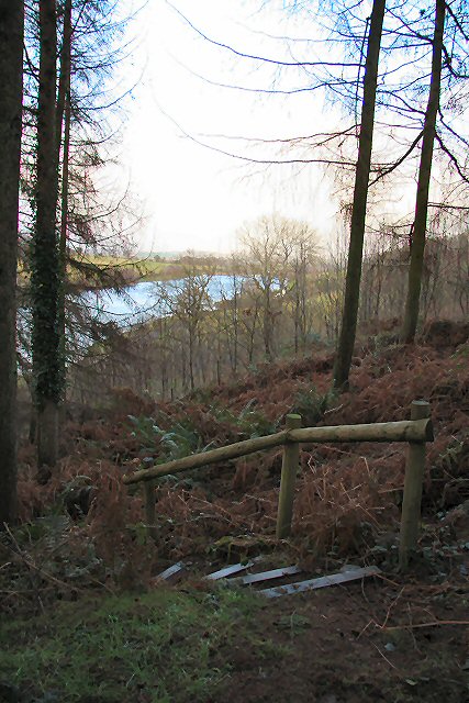
Visitors to Patterlegs Plantation can enjoy a range of recreational activities. There are several walking trails that meander through the woodlands, offering the opportunity to explore and appreciate the beauty of nature. The plantation is also popular among birdwatchers and nature enthusiasts, who can spot various species of birds and other wildlife.

Overall, Patterlegs Plantation in Somerset is a remarkable woodland area that showcases the beauty and importance of nature. With its rich history, diverse ecosystem, and recreational opportunities, it is a cherished natural asset in the region.

If you have any feedback on the listing, please let us know in the comments section below.

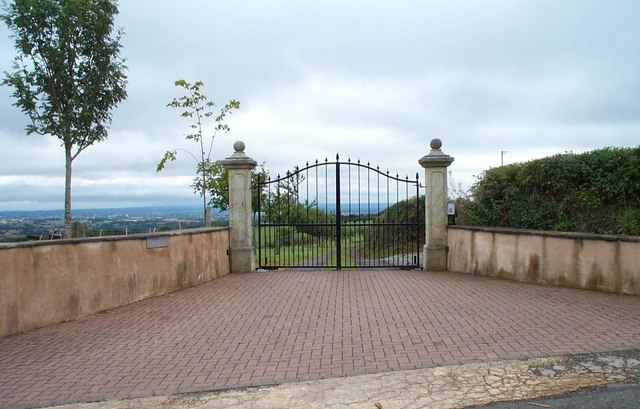
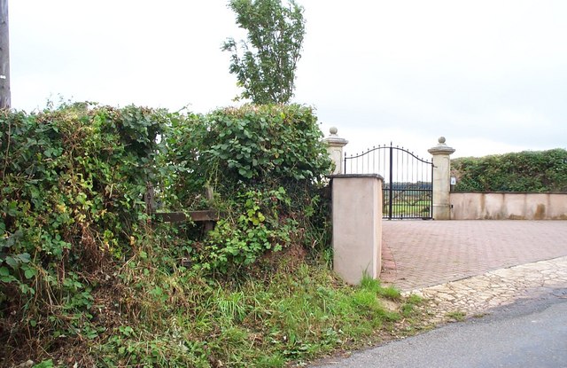
Patterlegs Plantation Images

Images are sourced within 2km of 51.116801/-3.1525287 or Grid Reference ST1935. Thanks to Geograph Open Source API. All images are credited.

View from Merridge Trig Point - Hinckley Point Power Station in the distance
Merridge Trigpoint Flush Bracket S3245
Hawksridge Reservoir
Hawkridge Reservoir
Hawkridge Reservoir
Hawkridge Reservoir
Hawkridge Reservoir
Picturesque Pond At Tuxwell Farm
Picturesque Pond
At Tuxwell Farm
Anglers at Hawkridge Reservoir
Aisholt and Merridge Village Hall This little village hall stands on its own away from both Aisholt and Merridge.
Aisholt and Merridge Village Hall
This little village hall stands on its own away from both Aisholt and Merridge.
Impressive Entrance. The house lies out of shot down a long drive. To the left there is a properly maintained stile, and in fact a footpath runs alongside the drive for over half its length. The modern map seems to indicate that the footpath has been diverted when it gets close to the house to afford more privacy.
Impressive Entrance.
The house lies out of shot down a long drive. To the left there is a properly maintained stile, and in fact a footpath runs alongside the drive for over half its length. The modern map seems to indicate that the footpath has been diverted when it gets close to the house to afford more privacy.
The dam at Hawkridge Reservoir Not the most impressive dam in Britain.In fact,it's quite difficult to spot from the road from which the photo was taken.
The dam at Hawkridge Reservoir
Not the most impressive dam in Britain.In fact,it's quite difficult to spot from the road from which the photo was taken.
Footpath to Spaxton The stile giving access to the footpath can be seen in the middle of the hedge, the lettering just visible on the vertical post. The path runs along the same line as the drive accessed through the gates.
Footpath to Spaxton
The stile giving access to the footpath can be seen in the middle of the hedge, the lettering just visible on the vertical post. The path runs along the same line as the drive accessed through the gates.
Woodland walk above Hawkridge Reservoir Part of a circular walk from the parking area at Hawkridge Reservoir.
Woodland walk above Hawkridge Reservoir
Part of a circular walk from the parking area at Hawkridge Reservoir.
Limekiln above Hawkridge Reservoir Following its demise in the 1930s, this limekiln was restored in 1997, using traditional materials including lime mortar and reclaimed stone and bricks from the site. In its time it would have produced between five and eight tons of lime a day. The kiln faces into the prevailing wind and has ‘wings’ in order to catch maximum draught.
Limekiln above Hawkridge Reservoir
Following its demise in the 1930s, this limekiln was restored in 1997, using traditional materials including lime mortar and reclaimed stone and bricks from the site. In its time it would have produced between five and eight tons of lime a day. The kiln faces into the prevailing wind and has ‘wings’ in order to catch maximum draught.
Hawkridge Reservoir Looking west along the reservoir from the car parking area.
Hawkridge Reservoir
Looking west along the reservoir from the car parking area.
Hawkridge Reservoir A number of fishing boats are stored on the southern bank of the reservoir and a landing stage facilitates launching.
Hawkridge Reservoir
A number of fishing boats are stored on the southern bank of the reservoir and a landing stage facilitates launching.
Hawkridge Reservoir Hawkridge Reservoir was built in the early 1960s to provide water for the town of Bridgwater, holding up to 864 million litres of water.
Hawkridge Reservoir
Hawkridge Reservoir was built in the early 1960s to provide water for the town of Bridgwater, holding up to 864 million litres of water.
Anthills or molehills? These strange bumps in a field above Hawkridge Reservoir appear too large for molehills. Perhaps they are anthills?
Anthills or molehills?
These strange bumps in a field above Hawkridge Reservoir appear too large for molehills. Perhaps they are anthills?
Highland cattle Curious onlookers in a field above Hawkridge Reservoir.
Highland cattle
Curious onlookers in a field above Hawkridge Reservoir.
Show me another place!

Patterlegs Plantation is located at Grid Ref: ST1935 (Lat: 51.116801, Lng: -3.1525287)

Administrative County: Somerset

District: Sedgemoor

Police Authority: Avon and Somerset

What 3 Words

///corded.shades.publisher. Near Nether Stowey, Somerset

Related Wikis

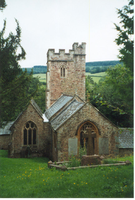
Church of All Saints, Aisholt

All Saints Church in Aisholt, Somerset, England, is the Anglican parish church for the ancient parish of Aisholt, now part of the Quantock Villages Benefice...
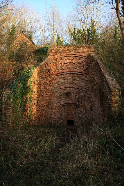
Plainsfield Camp

Plainsfield Camp (or Park Plantation or Cockercombe Castle) is a possible Iron Age earthwork on the Quantock Hills near Aisholt in Somerset, England.The...
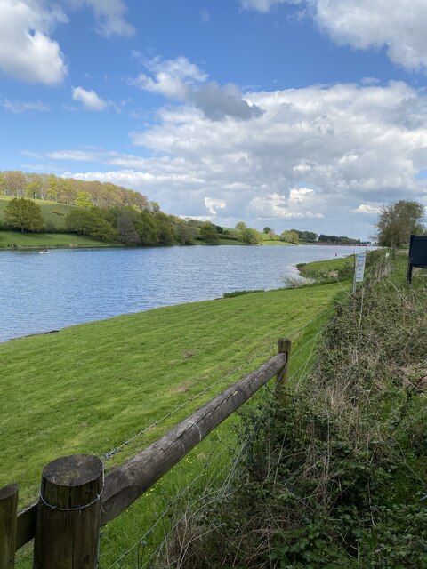
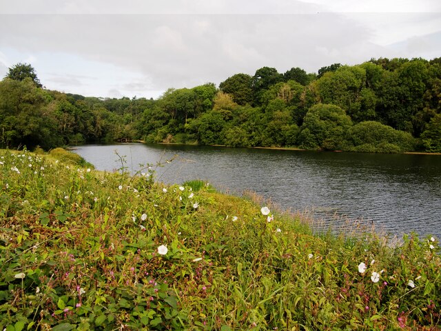
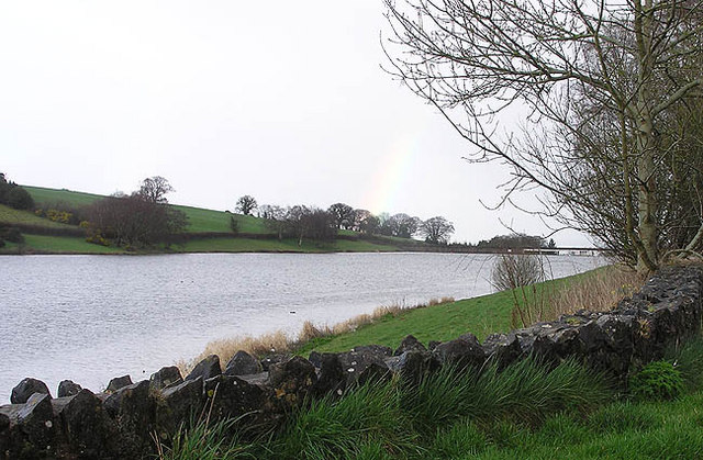
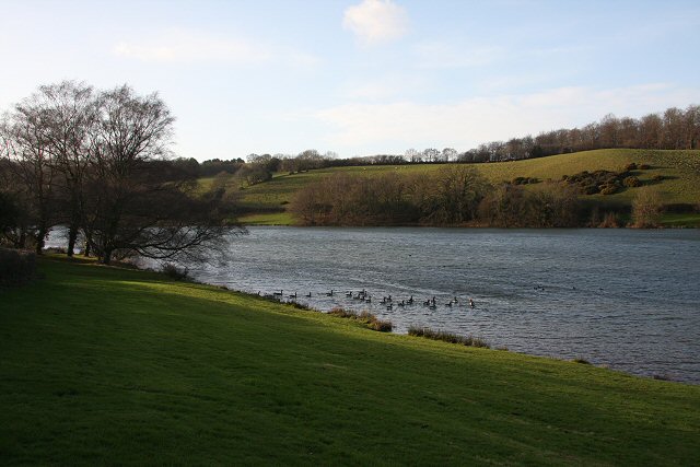
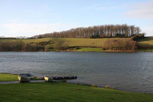
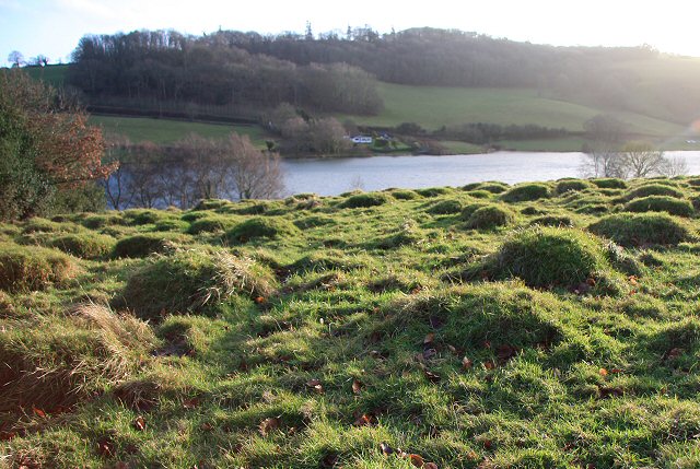
Hawkridge Reservoir

Hawkridge Reservoir is a reservoir near Spaxton, Somerset, England. The inflow is from several streams in the Quantock Hills Area of Outstanding Natural...

Quantock Lodge

Quantock Lodge is a grade II listed nineteenth-century Gothic revival mansion built by Henry Labouchere, 1st Baron Taunton (1798–1869), to the design of...

Adscombe Chapel

Adscombe Chapel: The site and remains of a medieval chapel, located 280 metres (920 ft) east of Adscombe Farm in Somerset, UK, situated on the north-west...

William Holland (diarist)

William Holland (9 May 1746 – 17 April 1819) is now best remembered for his diary, which he kept from 1799 to 1818. == Diary == The diary chronicles his...

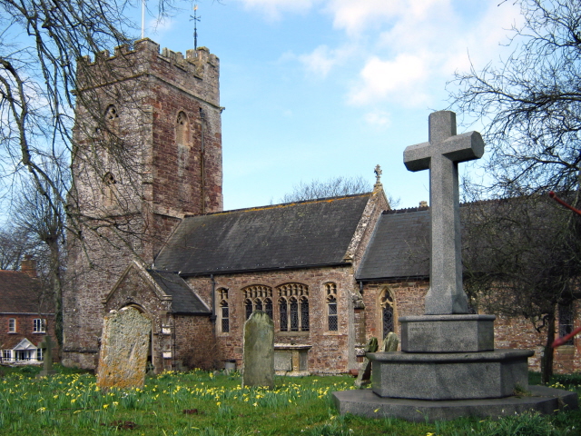
Church of St Peter and St Paul, Over Stowey

Church Of St Peter And St Paul in Over Stowey, Somerset, England, is the Anglican parish church for the ancient parish of Over Stowey, now part of the...

Wills Neck

Wills Neck is the highest summit on the Quantock Hills and one of the highest points in Somerset, England. Although only 1261 ft (384 m) high, it qualifies...

Nearby Amenities

Located within 500m of 51.116801,-3.1525287
Ford: yes
Lat/Long: 51.1182351/-3.149427
Aisholt
Place: hamlet
Population: 50
Lat/Long: 51.1140354/-3.1529955
Ford: yes
Lat/Long: 51.1143046/-3.155183
Post Box
Brand: Royal Mail
Brand Wikidata: Q638098
Operator: Royal Mail
Operator Wikidata: Q638098
Post Box Type: lamp
Ref: TA5 158
Royal Cypher: EIIR
Royal Cypher Wikidata: Q33102113
Lat/Long: 51.1140057/-3.1524163
The data included in this document is from www.openstreetmap.org. The data is made available under ODbL.

Have you been to Patterlegs Plantation?

Leave your review of Patterlegs Plantation below (or comments, questions and feedback).