Baldash Coppice

Wood, Forest in Devon East Devon

England

Baldash Coppice

Footpath, Bovey Down, Devon This is just north of the A35.
Footpath, Bovey Down, Devon Credit: Stuart Buchan

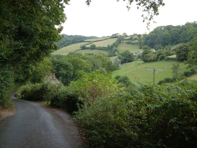
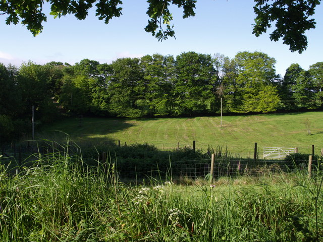
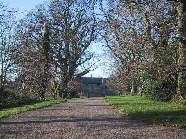
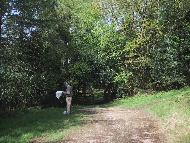
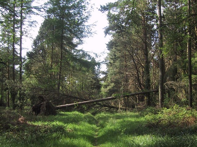
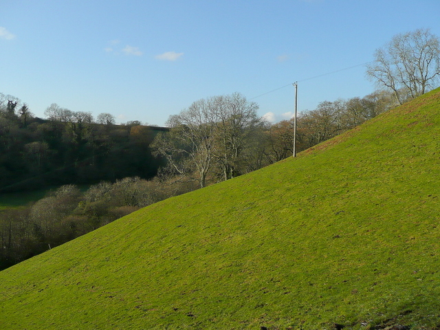
Baldash Coppice is a picturesque woodland located in the county of Devon, England. Situated near the village of Baldash, the coppice covers an area of approximately 50 acres. It is known for its dense foliage, diverse wildlife, and tranquil atmosphere.

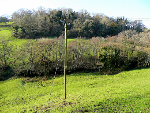
The coppice is predominantly made up of broadleaf trees, including oak, beech, and ash. These trees create a dense canopy that provides shade and shelter to a variety of plant and animal species. The forest floor is covered in a thick carpet of moss, ferns, and wildflowers, adding to the area's natural beauty.

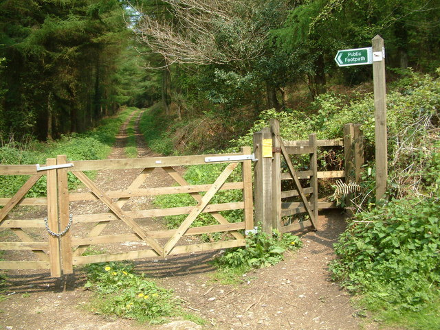
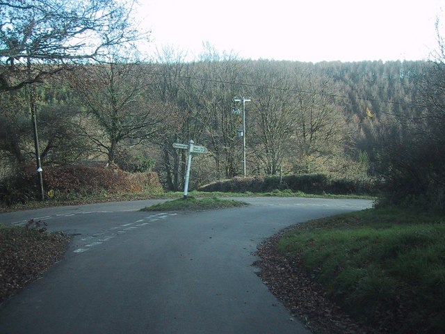
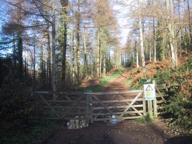
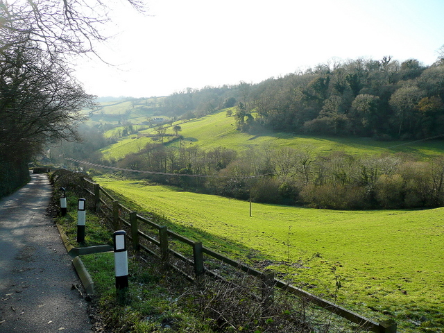
With its remote location, Baldash Coppice offers a peaceful retreat for nature enthusiasts and hikers. There are several well-maintained footpaths that wind through the woodland, allowing visitors to explore its hidden treasures. Along these paths, one can encounter a wide range of wildlife, including deer, squirrels, and various bird species.

Baldash Coppice is also known for its historical significance. It has been managed as a coppice woodland for centuries, with traditional techniques of woodland management being employed to encourage the growth of new shoots and maintain the health of the trees. This sustainable approach has not only preserved the natural beauty of the woodland but has also allowed for the growth of unique flora and fauna.

Overall, Baldash Coppice is a haven of tranquility, offering visitors a chance to immerse themselves in the beauty of nature. Whether it's a leisurely stroll, a bird-watching expedition, or a peaceful picnic, this woodland provides a serene escape from the hustle and bustle of daily life.

If you have any feedback on the listing, please let us know in the comments section below.

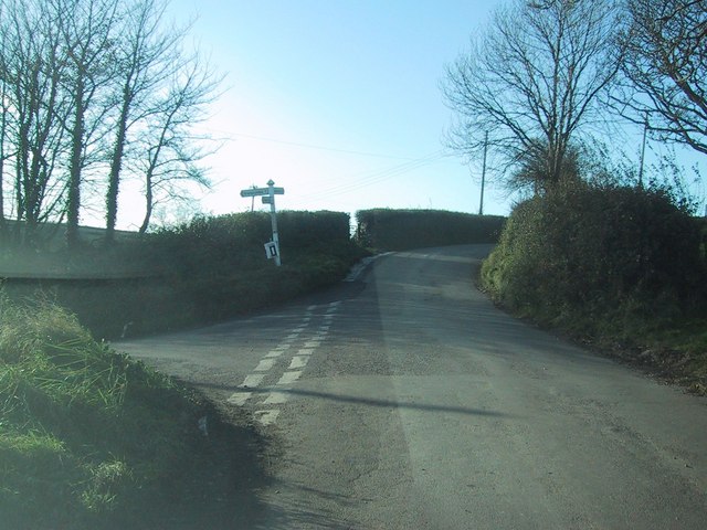
Baldash Coppice Images

Images are sourced within 2km of 50.710712/-3.1456266 or Grid Reference SY1990. Thanks to Geograph Open Source API. All images are credited.

Footpath, Bovey Down, Devon This is just north of the A35.
Footpath, Bovey Down, Devon
This is just north of the A35.
Branscombe valley The valley north of the village, seen from Seller's Wood Hill (though the house is spelt "Sellars Wood"). Gay's Farm is on the other side of the valley, with Margell's Hill beyond.
Branscombe valley
The valley north of the village, seen from Seller's Wood Hill (though the house is spelt "Sellars Wood"). Gay's Farm is on the other side of the valley, with Margell's Hill beyond.
Woodhead Farm, Branscombe The old thatched farmhouse with modern extension is set high above the Branscombe valley, at the top of the steep Seller's Wood Hill.
Woodhead Farm, Branscombe
The old thatched farmhouse with modern extension is set high above the Branscombe valley, at the top of the steep Seller's Wood Hill.
Beer: Stafford Cross On the A3052 Exeter – Lyme Regis road, looking east-north-east towards Colyford. The left turn leads to Colyton. The lane on the right runs up from Branscombe and Beer. The crossroads is on the boundary between Beer and Colyton parishes
Beer: Stafford Cross
On the A3052 Exeter – Lyme Regis road, looking east-north-east towards Colyford. The left turn leads to Colyton. The lane on the right runs up from Branscombe and Beer. The crossroads is on the boundary between Beer and Colyton parishes
Field beside drive to Bovey House The oaks shading the camera are at the east end of the drive, which crosses into <a href="https://www.geograph.org.uk/gridref/SY2090">SY2090</a> to the right. The photo shows the eastern end of the field to the south of the drive, occupying a shallow valley, which is crossed on the left by the lane to Bovey Fir Cross.
Field beside drive to Bovey House
The oaks shading the camera are at the east end of the drive, which crosses into SY2090 to the right. The photo shows the eastern end of the field to the south of the drive, occupying a shallow valley, which is crossed on the left by the lane to Bovey Fir Cross.
Road junction north-west of Bovey Down
Forest track on Bovey Down
Stubble field near Bovey House The map indicates forest in this area, but there is no sign of it on the ground.  (Nor on my - older - map.)
Stubble field near Bovey House
The map indicates forest in this area, but there is no sign of it on the ground. (Nor on my - older - map.)
Drive to Bovey House
Rooks fly across the road junction near Bovey House
Road junction by Woodhead Farm
Paths cross in the woods on Bovey Down
Bluebells at the edge of the woods on Bovey Down
Trees block a woodland ride on Bovey Down
Woodhead Farm
Woodhead Farm
Steep hillside west of Seller's Wood Hill Viewed from the road to Branscombe beach from Woodhead.
Steep hillside west of Seller's Wood Hill
Viewed from the road to Branscombe beach from Woodhead.
Watercombe valley Looking south, downhill, along Seller's Wood Hill leading towards Branscombe Beach.
Watercombe valley
Looking south, downhill, along Seller's Wood Hill leading towards Branscombe Beach.
Alder Grove and Lower Watercombe Coppice Looking across the valley from Seller's Wood Hill.
Alder Grove and Lower Watercombe Coppice
Looking across the valley from Seller's Wood Hill.
Show me another place!

Baldash Coppice is located at Grid Ref: SY1990 (Lat: 50.710712, Lng: -3.1456266)

Administrative County: Devon

District: East Devon

Police Authority: Devon and Cornwall

What 3 Words

///sprinting.finders.leans. Near Colyton, Devon

Related Wikis

Blackbury Camp

Blackbury Camp, also known as Blackbury Castle, is an Iron Age hill fort in Devon, England. It is managed by English Heritage. == Location == Blackbury...

Street, Devon

Street is a small village in the East Devon district of Devon, England. Its nearest town is Sidmouth, which lies approximately 4 miles (6.4 km) south-west...

The Old Bakery, Manor Mill & Forge

The Old Bakery, Manor Mill & Forge is a collection of buildings in Branscombe, Seaton, Devon, England. The property has been in the ownership of the National...

St Winifred's Church, Branscombe

St Winifred's Church is a Church of England church in Branscombe in Devon, England. The church is dedicated to Saint Winifred, a Welsh saint. It is among...

Berry Camp

Berry Camp or Berry Cliff, is an Iron Age Hill fort on a partially eroded cliff top close to Branscombe in Devon. The cliff is situated some 140 metres...

Wiscombe Park Hillclimb

Wiscombe Park Hillclimb is a British hillclimb, situated in Colyton, Devon. The course, which is 1000 yards (914 metres) in length — the same as Shelsley...

Wiscombe Park

Wiscombe Park is a 19th-century Gothic country house in Southleigh, Devon, UK which stands in parkland some 3 miles west of Colyton. The house is a grade...

Branscombe

Branscombe is a village in the East Devon district of the English County of Devon. The parish covers 3,440 acres (1,390 ha). Its permanent population in...

Nearby Amenities

Located within 500m of 50.710712,-3.1456266
Generator Method: photovoltaic
Generator Output Electricity: yes
Generator Source: solar
Generator Type: solar_photovoltaic_panel
Location: roof
Power: generator
Lat/Long: 50.7114624/-3.1431882
Power: pole
Source: bing
Lat/Long: 50.713458/-3.1403052
Power: pole
Source: bing
Lat/Long: 50.7130569/-3.140309
Power: pole
Source: bing
Lat/Long: 50.7122858/-3.1408934
Power: pole
Source: bing
Lat/Long: 50.7114931/-3.1415438
Power: pole
Source: bing
Transformer: distribution
Lat/Long: 50.7112138/-3.1456083
Power: pole
Source: bing
Lat/Long: 50.7110096/-3.1447204
Power: pole
Source: bing
Lat/Long: 50.7107351/-3.1436062
Power: pole
Source: bing
Transformer: distribution
Lat/Long: 50.7108174/-3.1421188
Power: pole
Source: bing
Lat/Long: 50.7103841/-3.140801
Power: pole
Source: bing
Lat/Long: 50.7099627/-3.139602
The data included in this document is from www.openstreetmap.org. The data is made available under ODbL.

Have you been to Baldash Coppice?

Leave your review of Baldash Coppice below (or comments, questions and feedback).