Clifford
Settlement in Yorkshire
England
Clifford
Clifford is a charming village located in the West Yorkshire county of England, nestled in the picturesque Aire Valley. Situated about 10 miles southwest of the historic city of Leeds, Clifford is a small yet vibrant community that offers residents and visitors a tranquil and idyllic setting.
The village is known for its rich history, dating back to Roman times. It is believed that Clifford was once a Roman settlement, evidenced by the discovery of Roman coins and artifacts in the surrounding area. The name "Clifford" is derived from the Old English words "cliff" and "ford," referencing the crossing point on the River Wharfe nearby.
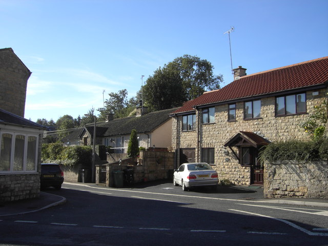
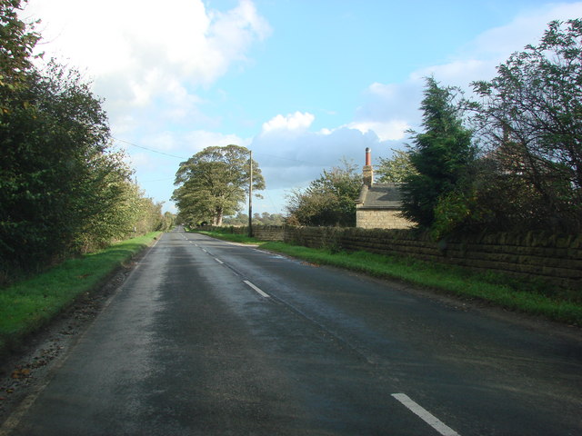
The heart of Clifford is its charming village center, where traditional stone buildings line the streets. The village is home to a handful of local amenities, including a post office, a village hall, and a primary school, making it an ideal place for families.
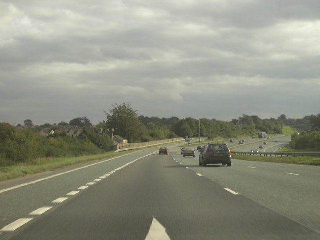
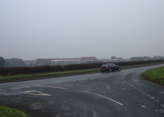
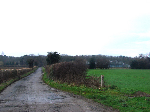
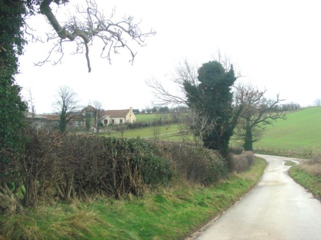
Nature enthusiasts will find themselves drawn to Clifford's beautiful surroundings. The village is encompassed by stunning countryside, offering ample opportunities for outdoor activities such as hiking, cycling, and birdwatching. Notably, the nearby Hetchell Woods and Nature Reserve provide a haven for wildlife and offer scenic walking trails.
Clifford's community spirit is evident through various events and activities held throughout the year. The village hosts an annual summer fair, bringing together residents and visitors for a day of entertainment and local produce. Additionally, the Clifford Feast, an ancient tradition dating back centuries, sees the village come alive with festivities including parades, live music, and delicious food stalls.
Overall, Clifford offers a delightful combination of history, natural beauty, and community spirit, making it a truly charming destination in Yorkshire.
If you have any feedback on the listing, please let us know in the comments section below.
Clifford Images
Images are sourced within 2km of 53.89291/-1.3500164 or Grid Reference SE4244. Thanks to Geograph Open Source API. All images are credited.

Clifford is located at Grid Ref: SE4244 (Lat: 53.89291, Lng: -1.3500164)
Division: West Riding
Unitary Authority: Leeds
Police Authority: West Yorkshire
What 3 Words
///deleting.forklift.diplomats. Near Clifford, West Yorkshire
Related Wikis

Clifford, West Yorkshire
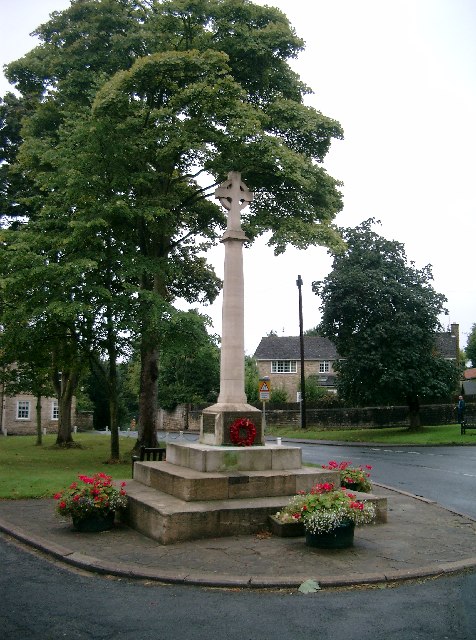
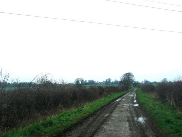
Clifford is a small village in West Yorkshire, England. The population at the 2011 Census was 1,662. The village is 3 miles (4.8 km) south of Wetherby...
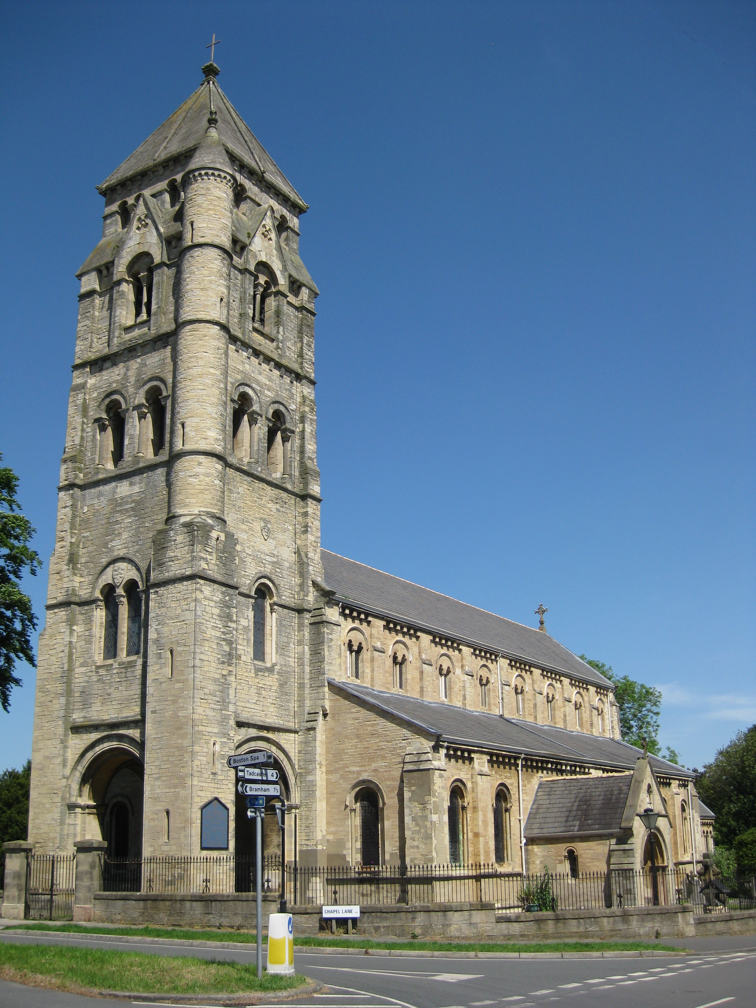
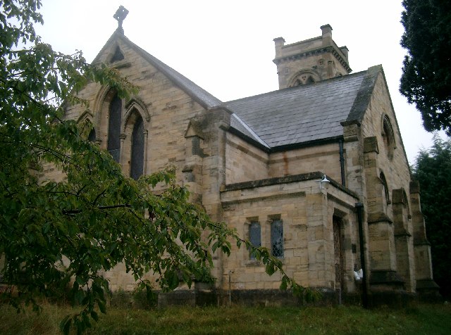
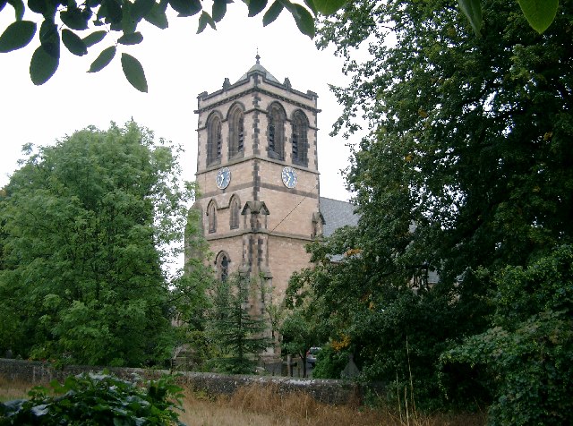
St Edward King and Confessor Catholic Church, Clifford
Saint Edward King and Confessor Church is a Roman Catholic church in Clifford, West Yorkshire. The church is the largest in Clifford and its tall tower...

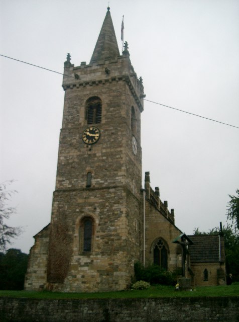
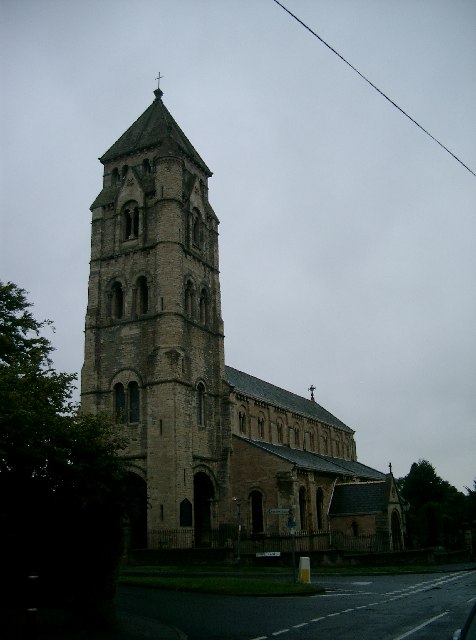
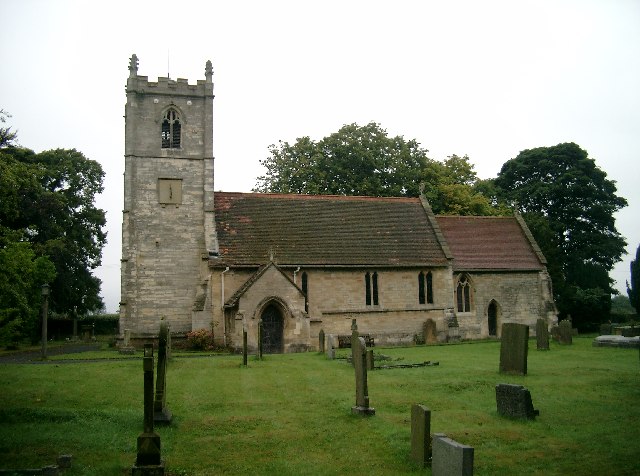
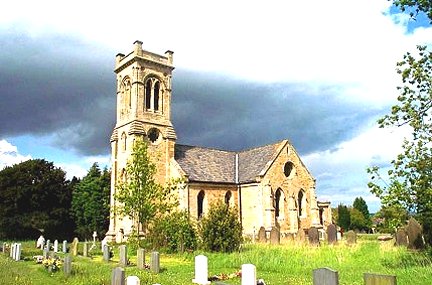
St Luke's Church, Clifford, West Yorkshire
St Luke's is an Anglican church in Clifford, West Yorkshire, England, part of the New Ainsty Deanery. It is one of three churches in Clifford; the second...
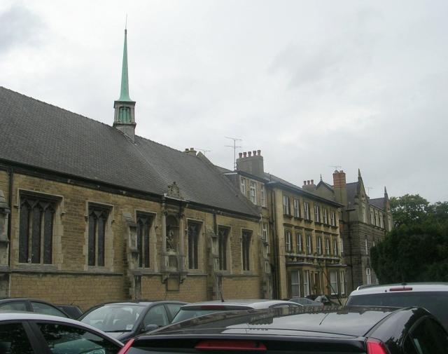
St John's Catholic School for the Deaf
St John's Catholic School for the Deaf is a school for deaf and hearing impaired children in Boston Spa, Wetherby, West Yorkshire, England. Monsignor de...

Martin House Hospice
Martin House is a charity that provides hospice care for children and young people across West, North and East Yorkshire. It provides family-led care to...

Boston Spa Academy
Boston Spa Academy (formerly Boston Spa Comprehensive School) is a coeducational secondary school for pupils aged 11–19 years old on Clifford Moor Road...
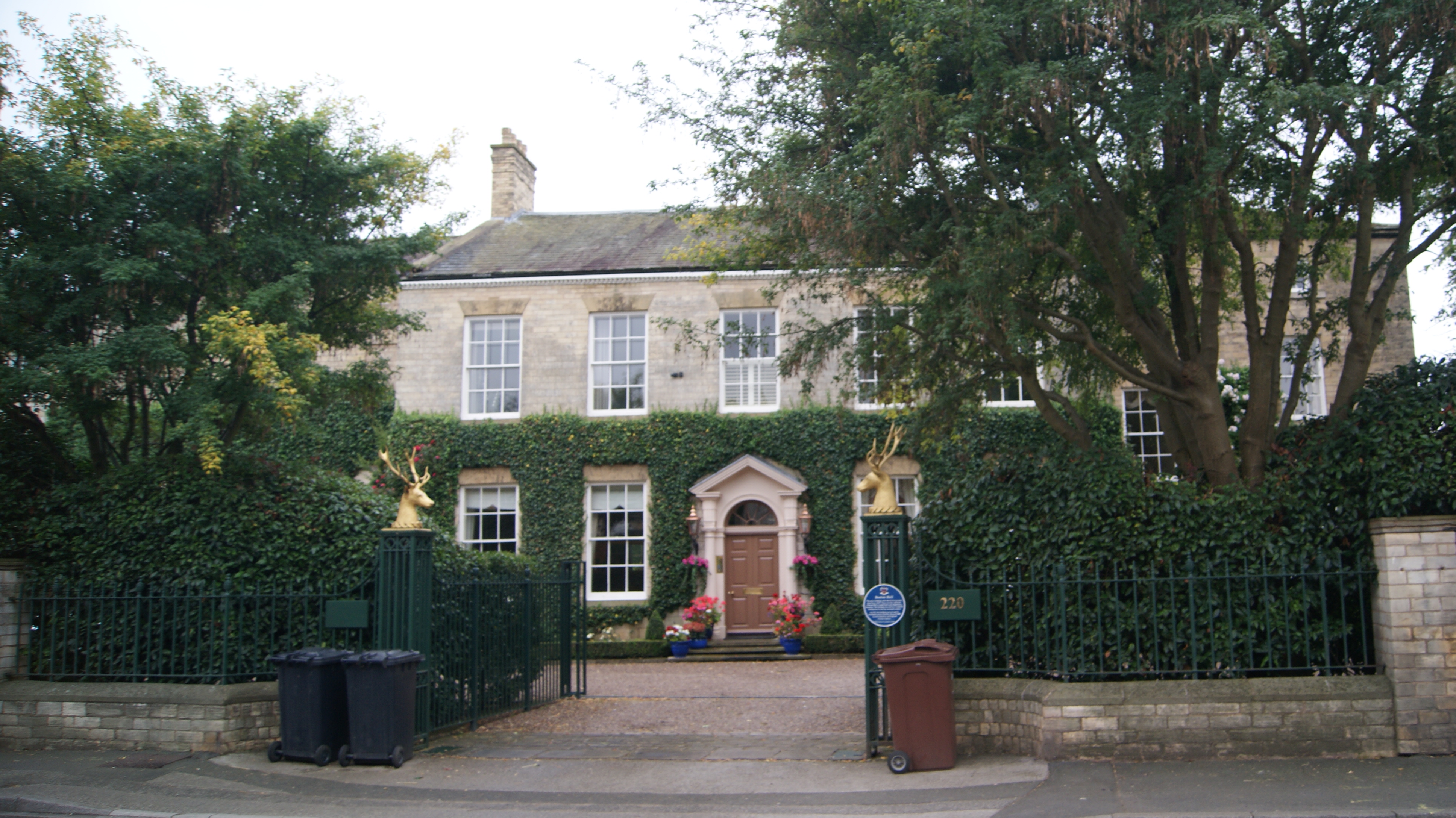
Boston Hall, Boston Spa
Boston Hall is a Grade II listed neo-classical house in Boston Spa, West Yorkshire, England. == History == The main part of the house was completed in...

Boston Spa
Boston Spa is a village and civil parish in the City of Leeds in West Yorkshire, England. Situated 3 miles (5 km) south of Wetherby, Boston Spa is on the...
Nearby Amenities
Located within 500m of 53.89291,-1.3500164Have you been to Clifford?
Leave your review of Clifford below (or comments, questions and feedback).