Cliffe

Settlement in Yorkshire Selby

England

Cliffe

Cliffe Institute The benchmark is cut into the south-east facing wall of the building. The mark has been slightly damaged by layers of masonry paint.
Cliffe Institute Credit: Mel Towler

Cliffe is a small village located in the East Riding of Yorkshire, England. Situated on the southern bank of the River Ouse, it lies about 10 miles to the east of the city of York. The village is part of the civil parish of Cliffe cum Lund.

Historically, Cliffe was an important port, serving as a trading hub for the surrounding agricultural region. The village is believed to have been settled since Roman times, with evidence of Roman pottery and coins found in the area. During the medieval period, Cliffe was a prosperous market town, benefiting from its river access.

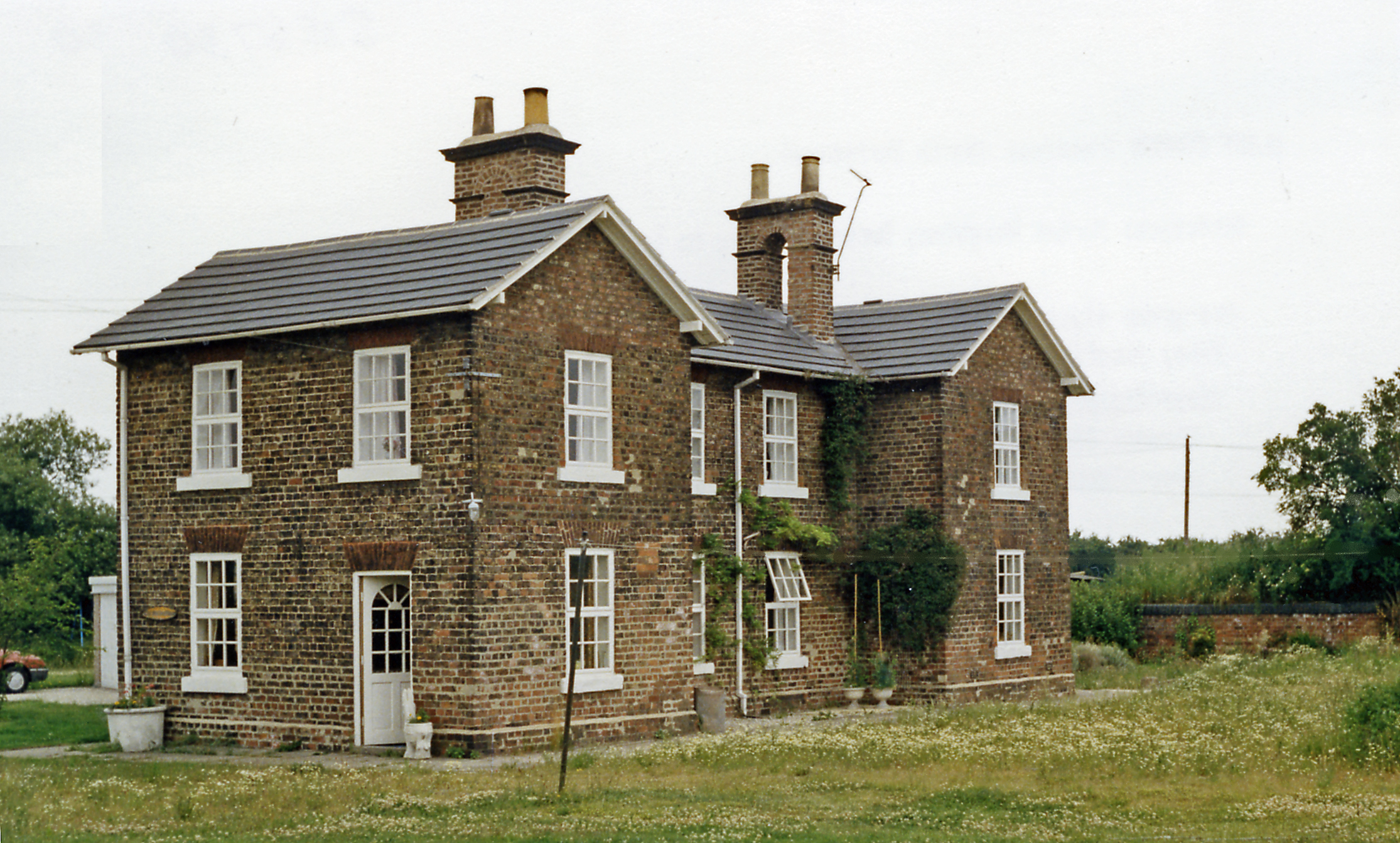
In terms of its physical layout, Cliffe is characterized by its charming mix of traditional stone cottages and larger brick houses. The village has a close-knit community, with a population of around 400 residents. Essential amenities in Cliffe include a primary school, a village hall, a post office, and a local pub.

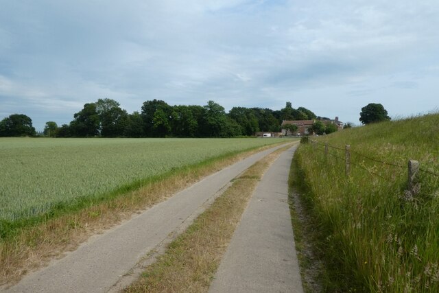
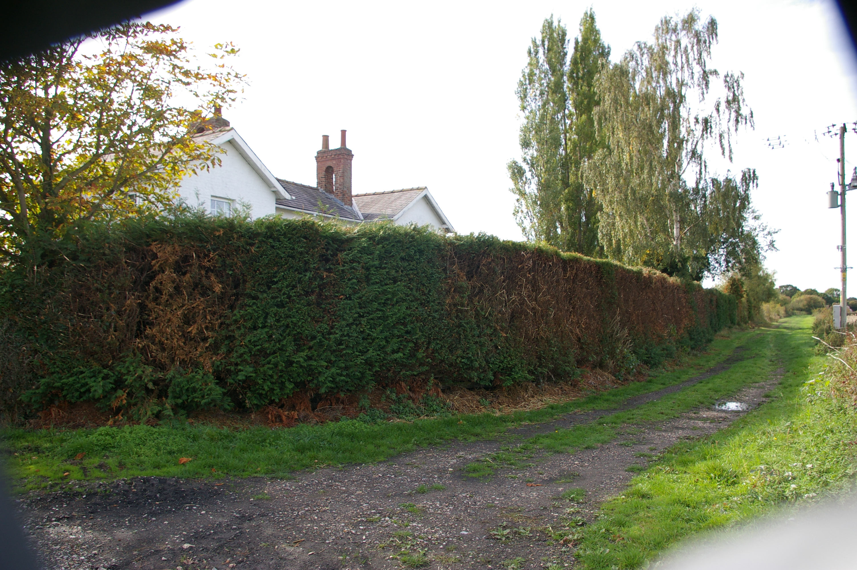
Cliffe is also known for its natural beauty, with picturesque countryside and scenic views of the river. The area offers various opportunities for outdoor activities, such as walking, cycling, and fishing. Additionally, Cliffe is a popular destination for birdwatching enthusiasts, as the nearby Cliffe Pools Nature Reserve provides a habitat for a wide range of bird species.

Overall, Cliffe is a peaceful and picturesque village that combines its rich historical heritage with rural charm, making it an attractive place to live or visit for those seeking a tranquil countryside setting.

If you have any feedback on the listing, please let us know in the comments section below.

Cliffe Images

Images are sourced within 2km of 53.779989/-0.99719543 or Grid Reference SE6631. Thanks to Geograph Open Source API. All images are credited.

Cliffe Institute The benchmark is cut into the south-east facing wall of the building. The mark has been slightly damaged by layers of masonry paint.
Cliffe Institute
The benchmark is cut into the south-east facing wall of the building. The mark has been slightly damaged by layers of masonry paint.
Cliffe Institute There is a benchmark cut into the south-east facing wall of the building. The mark has been slightly damaged by layers of masonry paint.
Cliffe Institute
There is a benchmark cut into the south-east facing wall of the building. The mark has been slightly damaged by layers of masonry paint.
Cliffe, railway According to the OS benchmark database there was a signal box located near the floodlight and white picket fence. The box had a benchmark cut into north-west face. The crossing is now controlled automatically and the signal box has been demolished.
Cliffe, railway
According to the OS benchmark database there was a signal box located near the floodlight and white picket fence. The box had a benchmark cut into north-west face. The crossing is now controlled automatically and the signal box has been demolished.
Main Street near the Church in Hemingbrough Looking towards the Church of St. Mary the Virgin. The road forms part of National Cycle Network Route 65 and has recently been resurfaced.
Main Street near the Church in Hemingbrough
Looking towards the Church of St. Mary the Virgin. The road forms part of National Cycle Network Route 65 and has recently been resurfaced.
Cycle path meets Hemingbrough Main Street The path forms part of National Cycle Network Route 65 and leaves Hull Road to head into Hemingbrough.
Cycle path meets Hemingbrough Main Street
The path forms part of National Cycle Network Route 65 and leaves Hull Road to head into Hemingbrough.
Fields south of Hull Road Looking across farmland beside the A63 with Drax Power Station visible in the distance.
Fields south of Hull Road
Looking across farmland beside the A63 with Drax Power Station visible in the distance.
Hull Road in Cliffe The road has been recently resurfaced and forms part of National Cycle Network Route 65.
Hull Road in Cliffe
The road has been recently resurfaced and forms part of National Cycle Network Route 65.
Gate beside Turnham Lane Looking into a field south of the road with Drax Power Station visible in the distance.
Gate beside Turnham Lane
Looking into a field south of the road with Drax Power Station visible in the distance.
Fields south of Turnham Lane Farmland near the junction of Turnham Lane and Ings Road with Drax Power Station visible in the distance.
Fields south of Turnham Lane
Farmland near the junction of Turnham Lane and Ings Road with Drax Power Station visible in the distance.
Field and electric cables near Turnham Lane Fields south of Turnham Lane with overhead electric cables heading towards Drax Power Station.
Field and electric cables near Turnham Lane
Fields south of Turnham Lane with overhead electric cables heading towards Drax Power Station.
Ouse Bank Looking along Ouse Bank near Turnham Hall. The track forms part of National Cycle Network Route 65.
Ouse Bank
Looking along Ouse Bank near Turnham Hall. The track forms part of National Cycle Network Route 65.
Turnham Hall The lane forms part of National Cycle Network Route 65.
Turnham Hall
The lane forms part of National Cycle Network Route 65.
Path near Turnham Hall The path forms part of National Cycle Network Route 65.
Path near Turnham Hall
The path forms part of National Cycle Network Route 65.
Hemingbrough View South from the church tower showing Drax power station in the background and the Churchyard in the foreground.
Hemingbrough
View South from the church tower showing Drax power station in the background and the Churchyard in the foreground.
Hemingbrough Post Office
Hemingbrough Parish Church
Tennis Courts on Oxen Lane, Cliffe
New House on Oxen Lane, Cliffe
Show me another place!

Cliffe is located at Grid Ref: SE6631 (Lat: 53.779989, Lng: -0.99719543)

Division: East Riding

Administrative County: North Yorkshire

District: Selby

Police Authority: North Yorkshire

What 3 Words

///titles.suitable.masses. Near Hemingbrough, North Yorkshire

Nearby Locations

Cliffe

Related Wikis

Hemingbrough railway station

Cliff railway station was opened in 1840 as an original station of the Hull and Selby Railway. It was renamed Hemingbrough railway station in 1874. The...

Cliffe, Selby

Cliffe is a small village and civil parish in North Yorkshire, England. It was historically part of the East Riding of Yorkshire until 1974, but from...

St Mary the Virgin, Hemingbrough

The church of St Mary the Virgin, Hemingbrough is a Grade I listed building in Hemingbrough, district of Selby, North Yorkshire, England. It is also known...

Hemingbrough

Hemingbrough is a small village and civil parish in North Yorkshire, England that is located approximately 5 miles (8 km) from Selby and 4 miles (6.4 km...

Cliffe Common railway station

Cliffe Common railway station, also known as Cliff Common, formerly Cliff Common Gate, served the village of Cliffe, Selby, England from 1848 to 1964 on...

Osgodby, Barlby with Osgodby

Osgodby is a village in the civil parish of Barlby with Osgodby, in North Yorkshire, England, 2 miles (3.2 km) from Selby. Its neighbouring village is...

River Ouse swing bridge

The River Ouse swing bridge is a road bridge over the River Ouse in North Yorkshire, England. It was opened in 2004 when the A63 road bypassed the town...

Duffield Gate railway station

Duffield Gate railway station was a station on the Selby to Driffield Line in North Yorkshire, England, serving the hamlet of South Duffield. It opened...

Nearby Amenities

Located within 500m of 53.779989,-0.99719543
Cliffe
Created By: Potlatch 0.5c
Is In: North Yorkshire, England
Place: village
Lat/Long: 53.7783462/-0.9968602
Railway: level_crossing
Lat/Long: 53.7821015/-0.9961356
Turning Circle
Lat/Long: 53.7777484/-0.9939465
Post Box
Post Box Type: lamp
Ref: YO8 77
Source: survey
Lat/Long: 53.777458/-0.9971627
Ncn Milepost: mills
Source: survey
Sustrans Ref: MP767
Lat/Long: 53.7774584/-0.9971111
Post Box
Post Box Type: lamp
Ref: YO8 8
Lat/Long: 53.7829116/-0.9956043
Railway: level_crossing
Lat/Long: 53.7820715/-0.9961518
Defibrillator
Defibrillator Location: outside New Inn, York Road, Cliffe - on left side facing road
Emergency: defibrillator
Indoor: no
Ref GB The Circuit: 2BBB91E0-BBF7-4120-A54F-AD7A00A593EE
Lat/Long: 53.7809992/-0.9965437
Cherry Tree Stores
Shop: convenience
Lat/Long: 53.780362/-0.9968684
Information: guidepost
Tourism: information
Lat/Long: 53.7774386/-0.9974624
The data included in this document is from www.openstreetmap.org. The data is made available under ODbL.

Have you been to Cliffe?

Leave your review of Cliffe below (or comments, questions and feedback).