Anstey
Settlement in Leicestershire Charnwood
England
Anstey
Anstey is a small town located in the Charnwood district of Leicestershire, England. Situated about 5 miles northwest of Leicester city center, it is nestled on the eastern slopes of the Rothley Hills, offering picturesque views of the surrounding countryside. With its prime location, Anstey serves as a popular residential area for those seeking a balance between rural charm and easy access to urban amenities.
The town has a rich history, dating back to the 12th century. It was once known for its thriving textile industry, particularly in the production of hosiery. Today, remnants of this industry can still be seen in the town's architecture, with some former factories having been converted into residential buildings.
Anstey boasts a range of amenities, including local shops, pubs, and restaurants, providing residents with all the necessary conveniences. The town is also well-served by public transportation, with regular bus services connecting it to Leicester and other nearby towns.
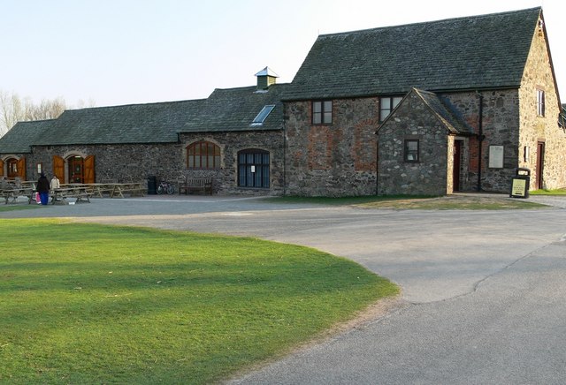
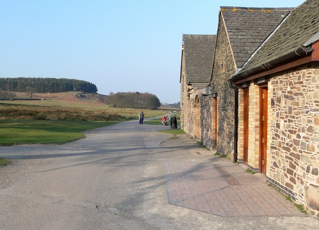
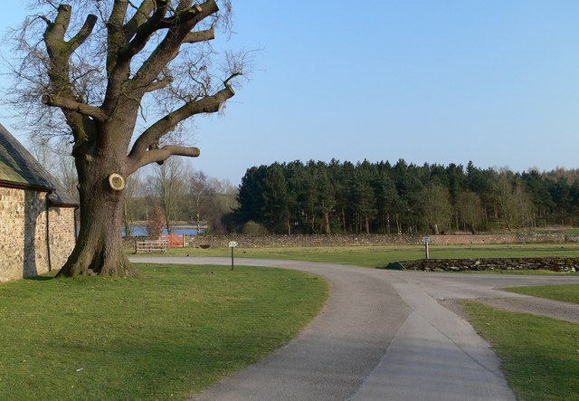
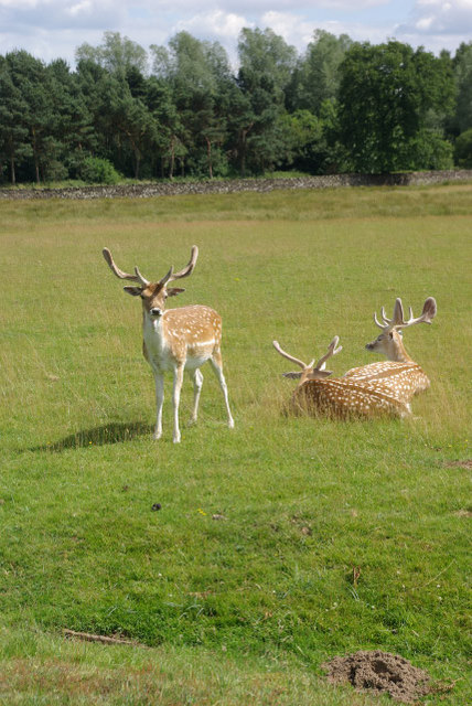
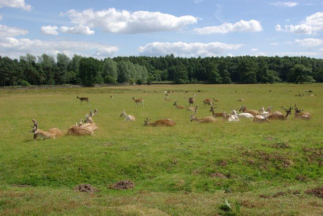
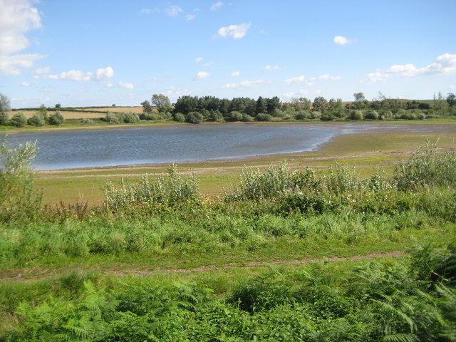
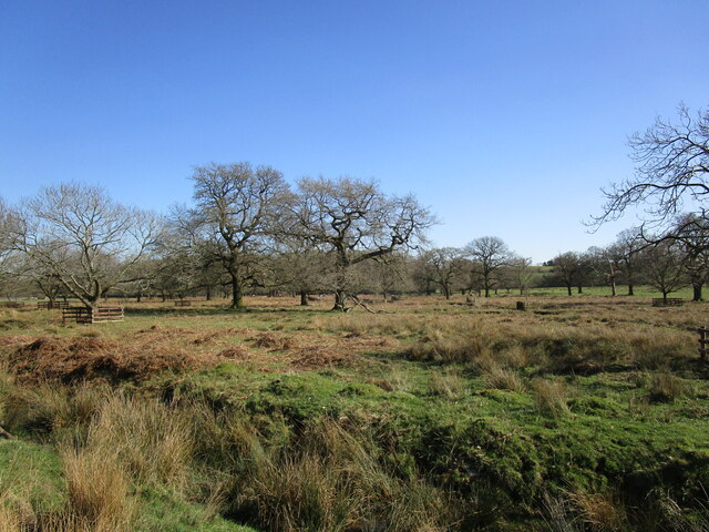
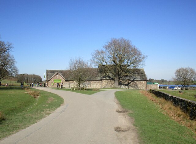
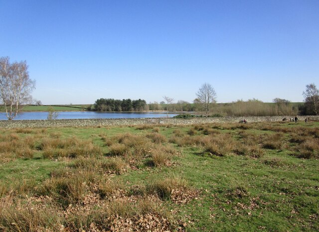
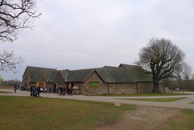
Nature enthusiasts are drawn to Anstey due to its proximity to several green spaces, including Bradgate Park, one of the largest and most popular attractions in Leicestershire. This expansive park offers vast open spaces, woodlands, and a variety of wildlife, making it an ideal spot for outdoor activities such as walking, cycling, and picnicking.
In terms of education, Anstey is home to several primary schools, ensuring that young families have access to quality education within the local area. The town also benefits from being within the catchment area of several highly regarded secondary schools.
Overall, Anstey offers a tranquil and scenic setting, combined with convenient access to nearby urban areas, making it an attractive place to live for individuals and families alike.
If you have any feedback on the listing, please let us know in the comments section below.
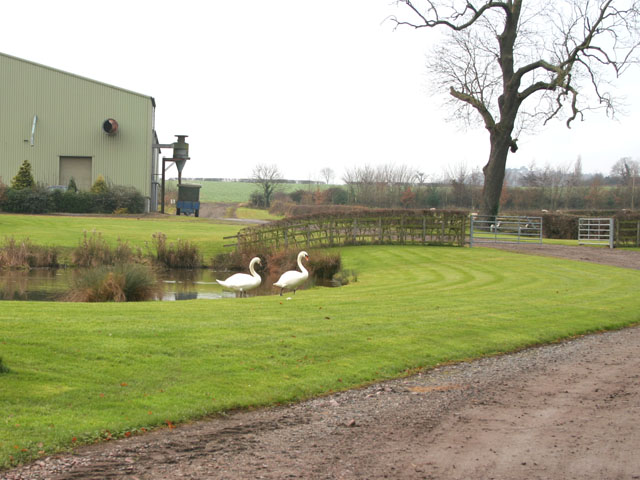
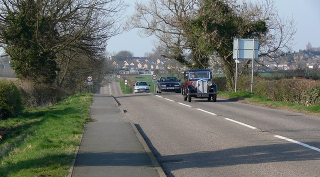
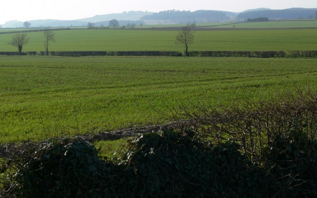
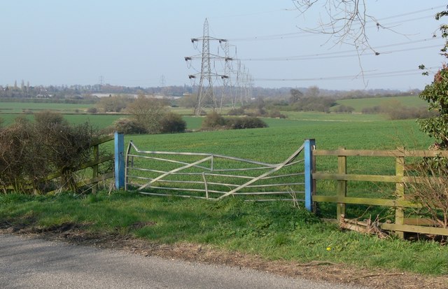
Anstey Images
Images are sourced within 2km of 52.672997/-1.18767 or Grid Reference SK5508. Thanks to Geograph Open Source API. All images are credited.

Anstey is located at Grid Ref: SK5508 (Lat: 52.672997, Lng: -1.18767)
Administrative County: Leicestershire
District: Charnwood
Police Authority: Leicestershire
What 3 Words
///encounter.rally.thigh. Near Anstey, Leicestershire
Nearby Locations
Related Wikis
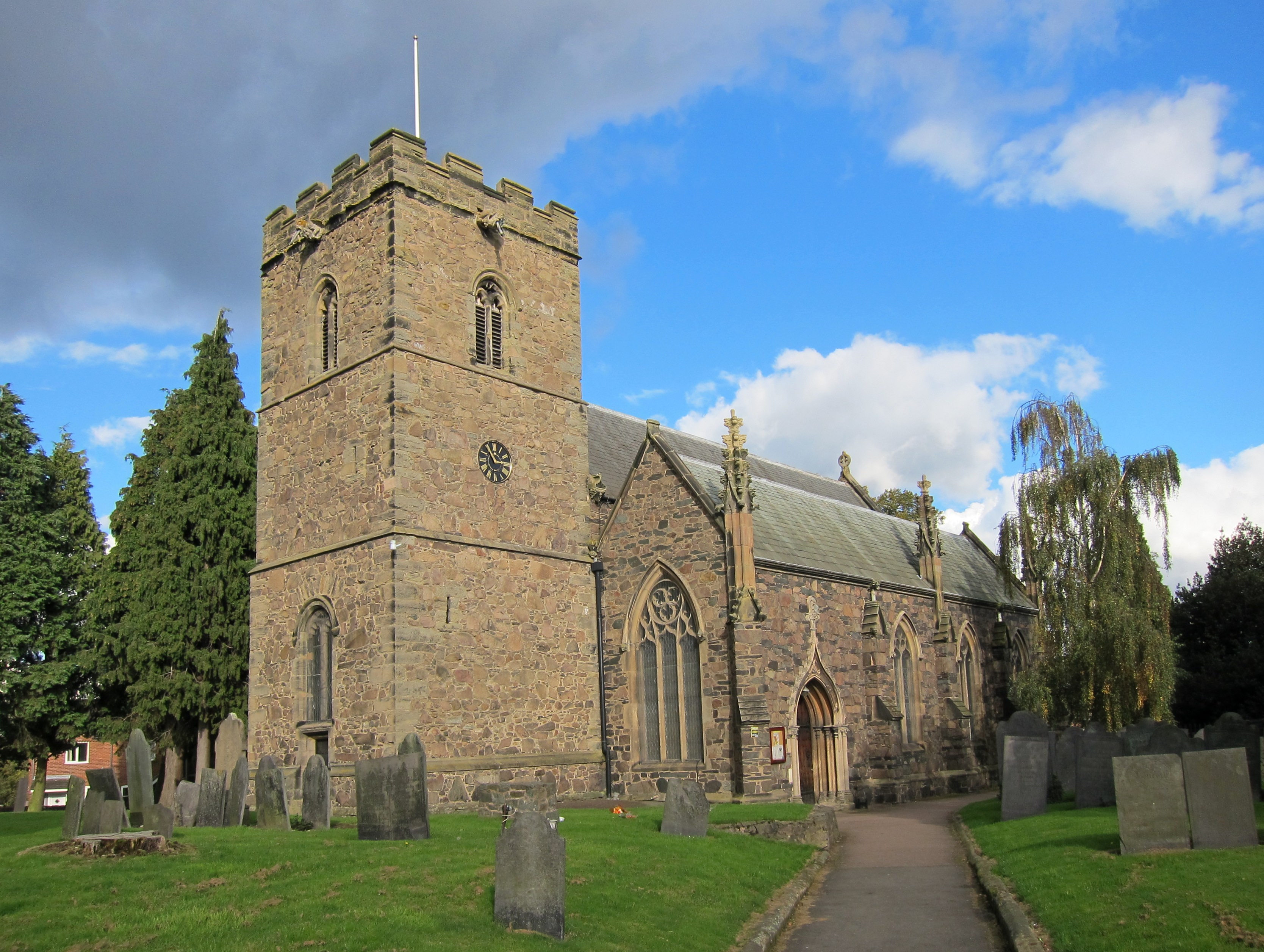
St Mary's Church, Anstey
St Mary's Church is the Church of England parish church in Anstey, Leicestershire, in the Diocese of Leicester. == The church == The church is situated...

Anstey, Leicestershire
Anstey is a large village in Leicestershire, England, located north west of Leicester in the borough of Charnwood. Its population was 6,528 at the 2011...

Anstey Nomads F.C.
Anstey Nomads Football Club is a football club based in Anstey, Leicestershire, England. They are currently members of the Northern Premier League Division...
The Martin High School, Anstey
The Martin High School is a coeducational secondary school with academy status, located in the village of Anstey, Leicestershire, on the outskirts of Leicester...
Beaumont Shopping Centre
Beaumont Shopping Centre is in Beaumont Leys, on the edge of Leicester. The 301,099 sq ft (27,973.0 m2) shopping centre is owned by British Land and managed...
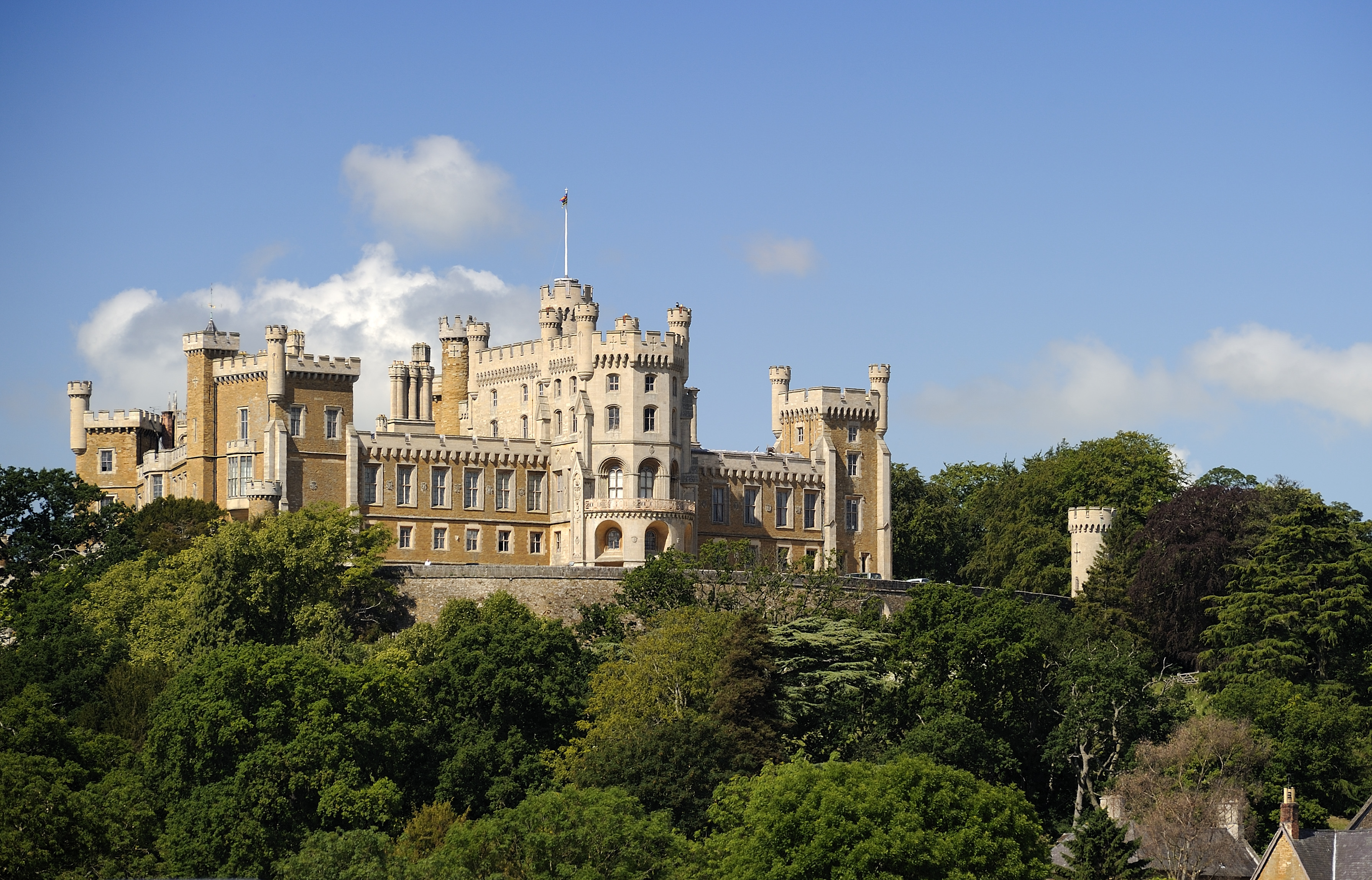
Leicestershire
Leicestershire ( LEST-ər-sheer, -shər) is a ceremonial county in the East Midlands of England. It is bordered by Derbyshire, Nottinghamshire, and Lincolnshire...
Cropston
Cropston is a village and former civil parish, now in the parish of Thurcaston and Cropston, part of the Borough of Charnwood in Leicestershire, England...

County Hall, Glenfield
County Hall is a municipal building on Leicester Road (the A50) in Glenfield, Leicestershire. It is the headquarters of Leicestershire County Council....
Nearby Amenities
Located within 500m of 52.672997,-1.18767Have you been to Anstey?
Leave your review of Anstey below (or comments, questions and feedback).