Blackrigg Plantation

Wood, Forest in Cumberland Allerdale

England

Blackrigg Plantation

Wellington House Road approaching Wellington House
Wellington House Credit: P Gaskell

Blackrigg Plantation is a lush woodland located in Cumberland, England. It covers a vast area and is renowned for its diverse flora and fauna. The plantation is situated in a picturesque setting, surrounded by rolling hills and offering breathtaking views of the countryside.

The woodland consists mainly of deciduous trees, including oak, birch, and beech, which provide a dense canopy and create a cool, shady environment. The forest floor is covered with a rich carpet of mosses, ferns, and wildflowers, adding to the natural beauty of the area. The plantation is also home to a variety of wildlife, including deer, badgers, foxes, and numerous bird species.

Blackrigg Plantation is a popular destination for nature enthusiasts and hikers. It offers numerous walking trails, allowing visitors to explore the woodland and discover its hidden gems. The well-maintained paths wind through the trees, offering glimpses of secluded clearings and tranquil streams.

In addition to its natural beauty, Blackrigg Plantation also holds historical significance. It is believed to have been used as a hunting ground for the local nobility in the past, and remnants of old hunting lodges can still be found within the woodland.

Overall, Blackrigg Plantation is a haven for those seeking solace in nature. Its stunning scenery, diverse wildlife, and peaceful atmosphere make it a must-visit destination for anyone looking to escape the hustle and bustle of everyday life.

If you have any feedback on the listing, please let us know in the comments section below.

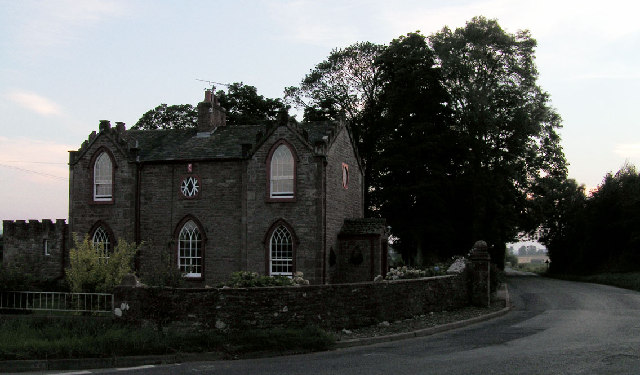
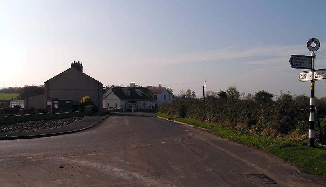
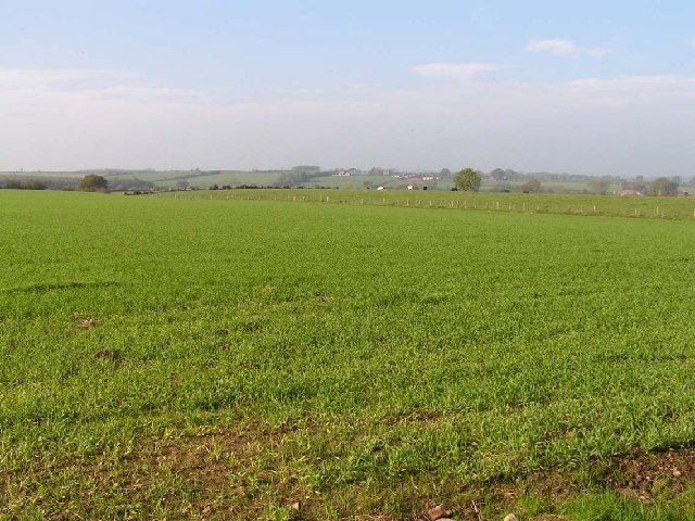
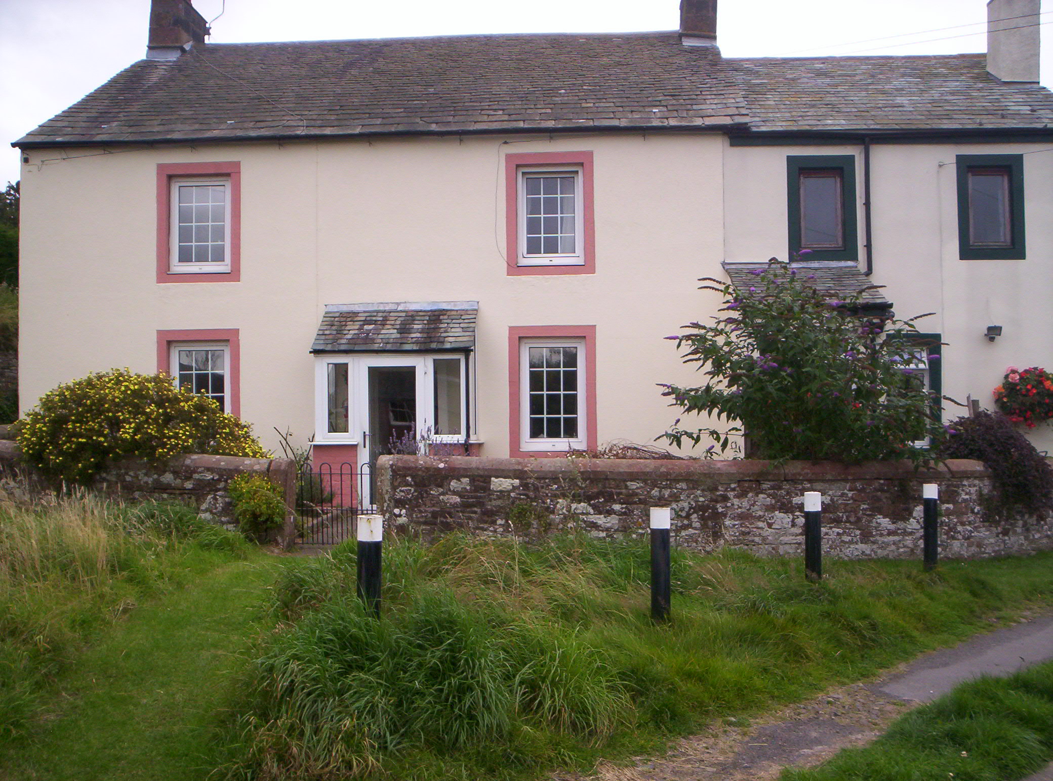
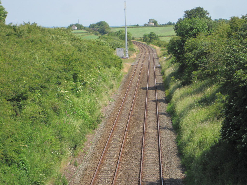
Blackrigg Plantation Images

Images are sourced within 2km of 54.784757/-3.2698668 or Grid Reference NY1844. Thanks to Geograph Open Source API. All images are credited.

Wellington House Road approaching Wellington House
Wellington House
Road approaching Wellington House
Gillmorend Brow Road approaching A596
Gillmorend Brow
Road approaching A596
Old Milestone by the unclassified road, north west of Sandraw Bridge Carved stone post by the UC road, in parish of BROMFIELD (ALLERDALE District), Sandraw, Gillmorend Brow, West of Highscales, on grass verge, on North side of road. Wigton curved red stone, erected by the Cockermouth & Maryport turnpike trust in the 19th century. 

Inscription reads:-
WORKINGTON
18
WIGTON
5
Carved benchmark.

Grade II Listed. List Entry Number: 1275820
<span class="nowrap"><a title="https://historicengland.org.uk/listing/the-list/list-entry/1275820" rel="nofollow ugc noopener" href="https://historicengland.org.uk/listing/the-list/list-entry/1275820">Link</a><img style="margin-left:2px;" alt="External link" title="External link - shift click to open in new window" src="https://s1.geograph.org.uk/img/external.png" width="10" height="10"/></span>

Milestone Society National ID: CU_WGWO05.
Old Milestone by the unclassified road, north west of Sandraw Bridge
Carved stone post by the UC road, in parish of BROMFIELD (ALLERDALE District), Sandraw, Gillmorend Brow, West of Highscales, on grass verge, on North side of road. Wigton curved red stone, erected by the Cockermouth & Maryport turnpike trust in the 19th century. Inscription reads:- WORKINGTON 18 WIGTON 5 Carved benchmark. Grade II Listed. List Entry Number: 1275820 LinkExternal link Milestone Society National ID: CU_WGWO05.
Direction Sign - Signpost at Langrigg Bank Located on the northwest side of the crossroads at Langrigg Bank in Bromfield parish. 4 arms and pawn finial. Restored by Terry Moore.

Milestone Society National ID: CU_NY1745
Direction Sign - Signpost at Langrigg Bank
Located on the northwest side of the crossroads at Langrigg Bank in Bromfield parish. 4 arms and pawn finial. Restored by Terry Moore. Milestone Society National ID: CU_NY1745
Corner House at junction of road to Low Road with A596
Gateway to field with vodafone masts
Gateway to field on southeast side of A596 opposite Corner House
Field gateway on NW side of A596 NE of High Scales Ordnance Survey records indicate that a benchmark levelled at 48.315m above Newlyn Datum was verified in 1970 on a gatepost at this gateway which has been widened in recent times
Field gateway on NW side of A596 NE of High Scales
Ordnance Survey records indicate that a benchmark levelled at 48.315m above Newlyn Datum was verified in 1970 on a gatepost at this gateway which has been widened in recent times
Field with sheep and wind turbine on north side of minor road east of High Scales
Prospect Farm Wind Farm with turbine and electricity substation
Ford at Gill House This ford on the Sandraw Beck is found at Gill House.
<span class="nowrap"><a title="https://youtu.be/Apy9633OE24" rel="nofollow ugc noopener" href="https://youtu.be/Apy9633OE24">Link</a><img style="margin-left:2px;" alt="External link" title="External link - shift click to open in new window" src="https://s1.geograph.org.uk/img/external.png" width="10" height="10"/></span>
Ford at Gill House
This ford on the Sandraw Beck is found at Gill House. LinkExternal link
A596 westbound near High Scales
A596 crosses railway at Heathfield
Cockgate, near Blennerhasset A rather imposing house at the junction of two relatively minor roads between Blennerhasset and Aspatria.
Cockgate, near Blennerhasset
A rather imposing house at the junction of two relatively minor roads between Blennerhasset and Aspatria.
Ford, Gill House A ford on an unmade road near Langrigg.
Ford, Gill House
A ford on an unmade road near Langrigg.
Watchhill, nr Aspatria The B5299 turns sharply right at Watchhill between Aspatria on the A596 and Mealsgate on the A595
Watchhill, nr Aspatria
The B5299 turns sharply right at Watchhill between Aspatria on the A596 and Mealsgate on the A595
View across open country towards Crookdake About as rural as you will get.
View across open country towards Crookdake
About as rural as you will get.
Lane near High Scales This lane is not shown on the 1:50000 scale OS map.
Lane near High Scales
This lane is not shown on the 1:50000 scale OS map.
Show me another place!

Blackrigg Plantation is located at Grid Ref: NY1844 (Lat: 54.784757, Lng: -3.2698668)

Administrative County: Cumbria

District: Allerdale

Police Authority: Cumbria

What 3 Words

///ribs.glaze.prune. Near Aspatria, Cumbria

Nearby Locations

Blackrigg Plantation

Related Wikis

Allhallows, Cumbria

Allhallows is a civil parish in Cumbria, England. It has a population of 548 (2001 census), reducing slightly to 546 at the 2011 Census. The parish includes...

Watchhill

Watchhill is a hamlet in the parish of Allhallows, Cumbria, England. The parish had 538 recorded residents in the 2001 census. Watchhill is sited near...

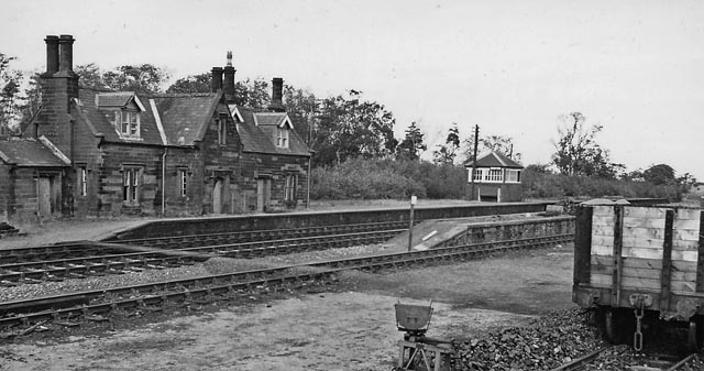
Brayton railway station

Brayton was a railway station which served as the interchange for the Solway Junction Railway (SJR) with the Maryport and Carlisle Railway (M&CR); it also...

Baggrow railway station

Baggrow railway station was in the former county of Cumberland, now Cumbria, England. It was a stop on the Bolton Loop (sometimes referred to as the "Mealsgate...

Brayton Hall

Brayton Hall is a ruined former mansion in Cumbria, England. Once the ancestral seat of the Lawson family, it stood in a large park, with views of the...

Allhallows Colliery railway station

Allhallows Colliery railway station was in the former county of Cumberland, now Cumbria, England. It was a stop on the Bolton Loop (sometimes referred...

Brayton Park

Brayton Park is a hamlet in Cumbria, England. It contains a small lake, notable for its fishing. == References ==

Leegate railway station

Leegate was a railway station on the Maryport and Carlisle Railway (M&CR) and served this rural district in Cumbria. The station was opened by the M&CR...

Nearby Amenities

Located within 500m of 54.784757,-3.2698668
Goosegreen
Place: locality
Lat/Long: 54.7862998/-3.2627794
Man Made: mast
Lat/Long: 54.7867468/-3.2749091
Irvine Nook
Place: locality
Lat/Long: 54.7854071/-3.2731954
Power: pole
Lat/Long: 54.785849/-3.2773689
Power: pole
Lat/Long: 54.7861068/-3.2756561
Power: pole
Lat/Long: 54.7863284/-3.2742689
Power: pole
Lat/Long: 54.7864936/-3.2730837
Power: pole
Lat/Long: 54.7867377/-3.2714685
Power: pole
Lat/Long: 54.786938/-3.2701443
Power: pole
Lat/Long: 54.7872221/-3.2682079
Power: pole
Lat/Long: 54.7872772/-3.2668099
Power: pole
Lat/Long: 54.7873285/-3.2653728
Power: pole
Lat/Long: 54.7873648/-3.2640269
The data included in this document is from www.openstreetmap.org. The data is made available under ODbL.

Have you been to Blackrigg Plantation?

Leave your review of Blackrigg Plantation below (or comments, questions and feedback).