Widcombe Wood
Wood, Forest in Devon East Devon
England
Widcombe Wood

Widcombe Wood is a picturesque woodland located in the county of Devon, England. Covering an area of approximately 100 acres, it is a popular destination for nature enthusiasts and outdoor lovers. The wood is situated near the charming village of Widcombe, surrounded by rolling hills and countryside.
The woodland is composed of a diverse range of tree species, including oak, ash, beech, and birch. The trees create a dense canopy overhead, providing shade and shelter for a variety of wildlife. Visitors can explore the wood through a network of well-maintained trails, allowing them to immerse themselves in the tranquil atmosphere and enjoy the beauty of nature.
Widcombe Wood is home to a rich array of flora and fauna. Wildflowers such as bluebells, primroses, and wood anemones bloom in the spring, adding vibrant colors to the woodland floor. The wood also provides habitat for a variety of bird species, including woodpeckers, nuthatches, and thrushes. Squirrels can often be spotted scurrying between the trees, while deer occasionally make an appearance, adding to the enchanting atmosphere.
In addition to its natural beauty, Widcombe Wood offers recreational activities for visitors. Picnic areas are available, inviting visitors to relax and enjoy a meal amidst the peaceful surroundings. The wood also provides opportunities for walking, jogging, and birdwatching, making it an ideal destination for outdoor enthusiasts of all ages.
Overall, Widcombe Wood in Devon is a haven of tranquility and natural beauty, offering visitors a chance to escape the bustle of everyday life and connect with the wonders of the natural world.
If you have any feedback on the listing, please let us know in the comments section below.
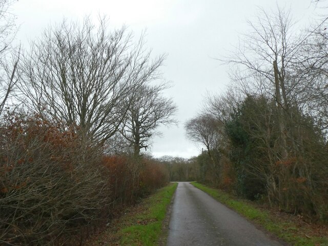
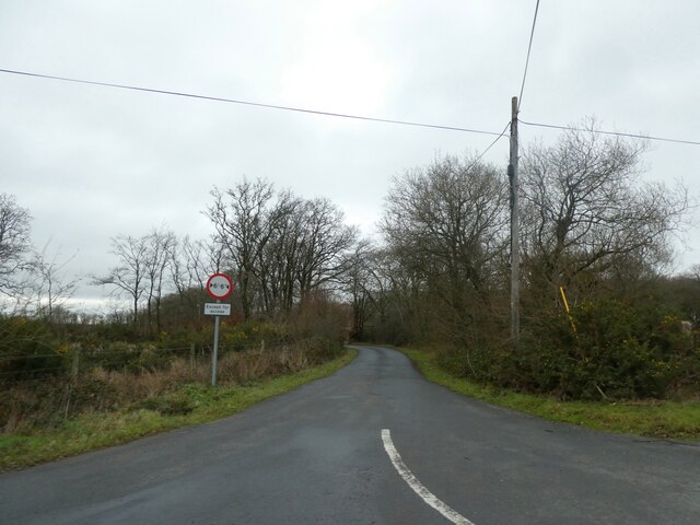
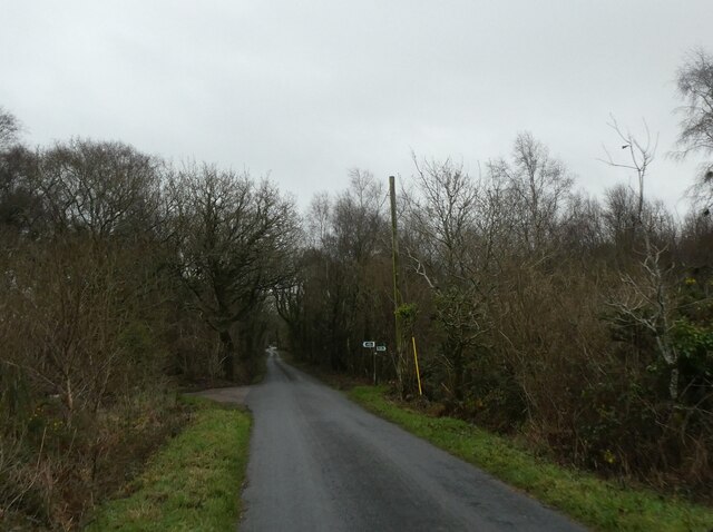
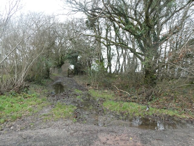
Widcombe Wood Images
Images are sourced within 2km of 50.74482/-3.1639636 or Grid Reference SY1794. Thanks to Geograph Open Source API. All images are credited.


Widcombe Wood is located at Grid Ref: SY1794 (Lat: 50.74482, Lng: -3.1639636)
Administrative County: Devon
District: East Devon
Police Authority: Devon and Cornwall
What 3 Words
///flying.pointed.backhand. Near Honiton, Devon
Nearby Locations
Related Wikis
Farway
Farway is a small village, civil parish and former manor in the East Devon district of Devon, England. The village is situated about 3+1⁄2 miles (5.6 km...

Woodbridge, Devon
Woodbridge is a hamlet in Farway civil parish, south-south-east of the town of Honiton, in the English county of Devon. The OS grid reference is SY1895...
Wiscombe Park
Wiscombe Park is a 19th-century Gothic country house in Southleigh, Devon, UK which stands in parkland some 3 miles west of Colyton. The house is a grade...
Wiscombe Park Hillclimb
Wiscombe Park Hillclimb is a British hillclimb, situated in Colyton, Devon. The course, which is 1000 yards (914 metres) in length — the same as Shelsley...
Have you been to Widcombe Wood?
Leave your review of Widcombe Wood below (or comments, questions and feedback).