Baggrow Quarry Wood
Wood, Forest in Cumberland Allerdale
England
Baggrow Quarry Wood

Baggrow Quarry Wood is a stunning forest located in Cumberland, England. Covering an area of approximately 50 acres, it is situated near the village of Baggrow and is renowned for its natural beauty and rich biodiversity.
The woodland is primarily composed of a mix of broadleaf trees including oak, ash, birch, and beech. These towering trees create a dense canopy that filters sunlight, resulting in a cool and shaded environment beneath. The forest floor is carpeted with a variety of wildflowers, ferns, and mosses, adding to the enchanting atmosphere.
Baggrow Quarry Wood is home to a wide range of wildlife, making it an important conservation area. Visitors may encounter various bird species such as woodpeckers, owls, and thrushes, as well as small mammals like foxes, badgers, and voles. The forest also provides habitat for numerous insects, including butterflies, bees, and beetles.
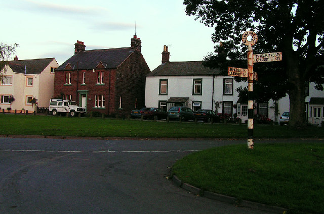
The woodland is crisscrossed by a network of well-maintained footpaths, allowing visitors to explore the area and enjoy the peaceful surroundings. These paths lead to a picturesque quarry that adds a unique element to the landscape. The quarry walls are covered in lush vegetation, creating a striking contrast against the rugged rock face.
Baggrow Quarry Wood is a popular destination for nature lovers, hikers, and photographers. Its tranquil atmosphere and diverse flora and fauna make it an ideal place for relaxation and exploration. Whether one is seeking a peaceful walk, wildlife spotting, or simply to immerse themselves in nature, Baggrow Quarry Wood offers a delightful experience for visitors of all ages.
If you have any feedback on the listing, please let us know in the comments section below.
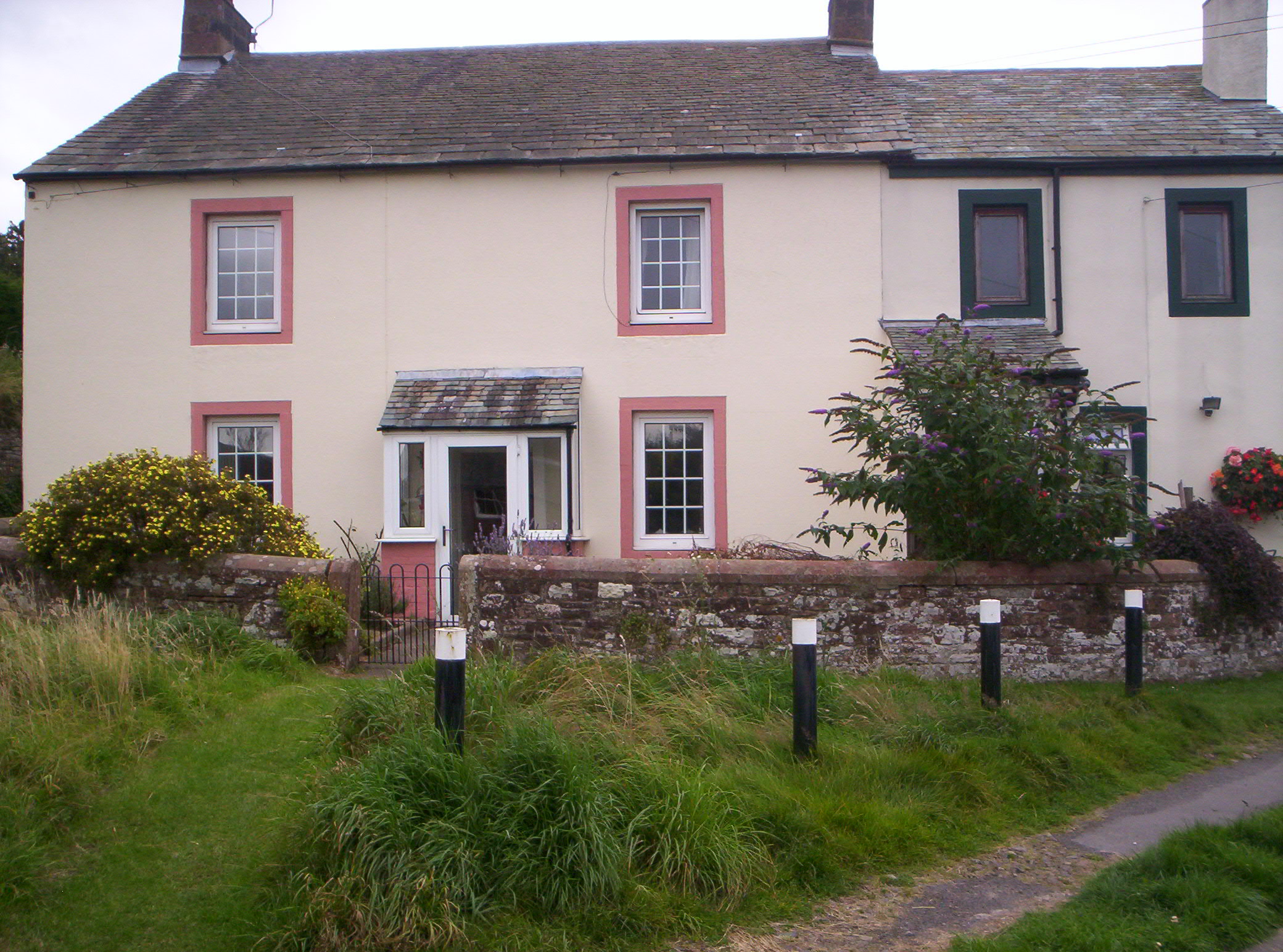
Baggrow Quarry Wood Images
Images are sourced within 2km of 54.773414/-3.278497 or Grid Reference NY1742. Thanks to Geograph Open Source API. All images are credited.


Baggrow Quarry Wood is located at Grid Ref: NY1742 (Lat: 54.773414, Lng: -3.278497)
Administrative County: Cumbria
District: Allerdale
Police Authority: Cumbria
What 3 Words
///detection.attention.joints. Near Aspatria, Cumbria
Nearby Locations
Related Wikis
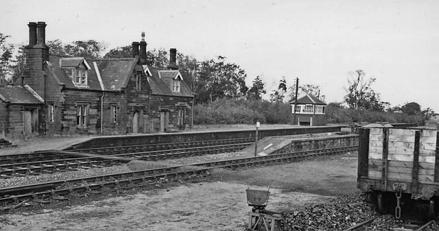
Baggrow railway station
Baggrow railway station was in the former county of Cumberland, now Cumbria, England. It was a stop on the Bolton Loop (sometimes referred to as the "Mealsgate...

Brayton Hall
Brayton Hall is a ruined former mansion in Cumbria, England. Once the ancestral seat of the Lawson family, it stood in a large park, with views of the...

Allhallows, Cumbria
Allhallows is a civil parish in Cumbria, England. It has a population of 548 (2001 census), reducing slightly to 546 at the 2011 Census. The parish includes...

Watchhill
Watchhill is a hamlet in the parish of Allhallows, Cumbria, England. The parish had 538 recorded residents in the 2001 census. Watchhill is sited near...

Brayton Park
Brayton Park is a hamlet in Cumbria, England. It contains a small lake, notable for its fishing. == References ==
Brayton railway station
Brayton was a railway station which served as the interchange for the Solway Junction Railway (SJR) with the Maryport and Carlisle Railway (M&CR); it also...

Harbybrow
Harbybrow is a small settlement in the parish of Allhallows, Cumbria, England. Consisting of two inhabited dwellings - the old manor house and nearby mill...

Harriston, Cumbria
Harriston is a small hamlet in Cumbria, England, consisting of approximately 100 houses. == Construction == When, in 1868, the trustees of the infant Joseph...
Nearby Amenities
Located within 500m of 54.773414,-3.278497Have you been to Baggrow Quarry Wood?
Leave your review of Baggrow Quarry Wood below (or comments, questions and feedback).