Cragfield Wood

Wood, Forest in Cumberland Copeland

England

Cragfield Wood

A5093 at The Hill village boundary
A5093 at The Hill village boundary Credit: Colin Pyle

Cragfield Wood is a picturesque woodland located in the county of Cumberland, northwestern England. Spread across an area of approximately 100 hectares, this enchanting forest is known for its diverse flora and fauna, making it an ideal destination for nature enthusiasts and hikers alike.

The woodland is primarily composed of broadleaf trees, including oak, birch, and beech, which form a dense canopy, providing shade and shelter for a variety of wildlife. The forest floor is adorned with a carpet of wildflowers, ferns, and mosses, adding to the woodland's charm and beauty.

Cragfield Wood is home to an array of animal species, both common and rare. Birdwatchers can spot a wide range of avian residents, such as woodpeckers, owls, and songbirds. The forest also provides a habitat for small mammals like squirrels, rabbits, and hedgehogs. Lucky visitors may even catch a glimpse of elusive creatures like badgers and deer.

Tranquil paths wind their way through the wood, inviting visitors to explore its hidden treasures. The trails offer breathtaking views of the surrounding countryside and are a haven for photographers, capturing the beauty of the changing seasons. The woodland is especially enchanting in spring when the forest comes alive with vibrant colors and the gentle sound of birdsong fills the air.

For those seeking a peaceful retreat, Cragfield Wood provides a serene and calming atmosphere. The sound of rustling leaves and the scent of the forest awaken the senses, creating a mindful escape from the hustle and bustle of daily life.

Cragfield Wood is truly a nature lover's paradise, offering an immersive experience in the heart of Cumberland's natural beauty.

If you have any feedback on the listing, please let us know in the comments section below.

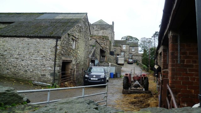
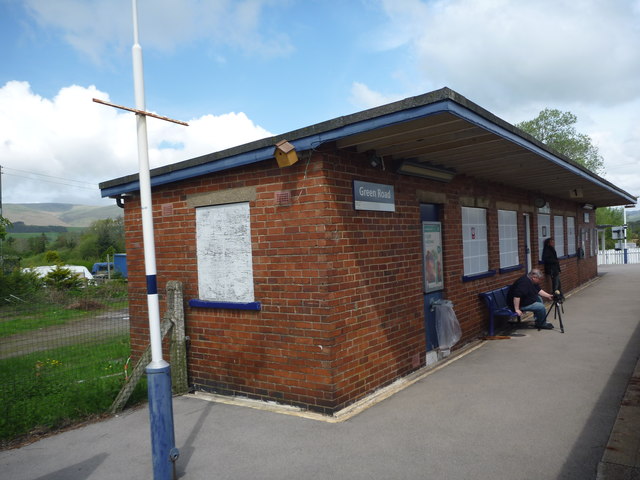
Cragfield Wood Images

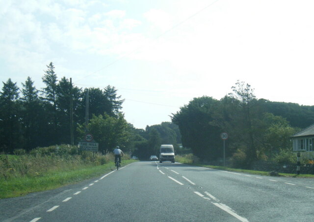
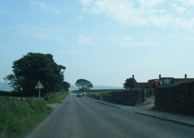
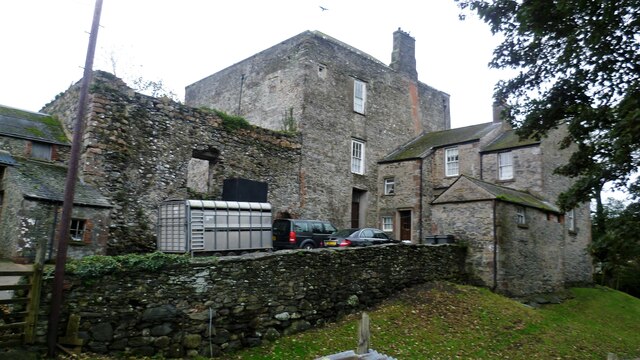
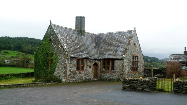
Images are sourced within 2km of 54.235462/-3.2689568 or Grid Reference SD1782. Thanks to Geograph Open Source API. All images are credited.

A5093 at The Hill village boundary
A5093 south of The Hill
A5093 at Castle Farm
Millom Castle The great tower and the farmhouse wing
Millom Castle
The great tower and the farmhouse wing
Church Hall Close to Holy Trinity Church and Millom Castle
Church Hall
Close to Holy Trinity Church and Millom Castle
Castle Farm Based around Millom Castle remains
Castle Farm
Based around Millom Castle remains
The Punch Bowl Inn, The Green, Millom
Ordnance Survey Cut Mark This OS cut mark can be found on Briar Dene. It marks a point 19.020m above mean sea level.
Ordnance Survey Cut Mark
This OS cut mark can be found on Briar Dene. It marks a point 19.020m above mean sea level.
SRPS Cumbrian Coast Railtour 2018 : Green Road Station
Ordnance Survey Flush Bracket (G3082) This OS Flush Bracket can be found on the roadside barn at Castle Farm. It marks a point 11.488m above mean sea level.
Ordnance Survey Flush Bracket (G3082)
This OS Flush Bracket can be found on the roadside barn at Castle Farm. It marks a point 11.488m above mean sea level.
Ordnance Survey Cut Mark This OS cut mark can be found on the east face of Holy Trinity Church. It marks a point 11.119m above mean sea level.
Ordnance Survey Cut Mark
This OS cut mark can be found on the east face of Holy Trinity Church. It marks a point 11.119m above mean sea level.
Ordnance Survey Rivet This OS rivet can be found on the step of the buried water tank compound. It marks a point 107.189m above mean sea level.
Ordnance Survey Rivet
This OS rivet can be found on the step of the buried water tank compound. It marks a point 107.189m above mean sea level.
Ordnance Survey Rivet This OS rivet can be found on the wall SE side of the road. It marks a point 92.013m above mean sea level.
Ordnance Survey Rivet
This OS rivet can be found on the wall SE side of the road. It marks a point 92.013m above mean sea level.
Ordnance Survey Cut Mark This OS cut mark can be found on the wall south side of the road. It marks a point 54.724m above mean sea level.
Ordnance Survey Cut Mark
This OS cut mark can be found on the wall south side of the road. It marks a point 54.724m above mean sea level.
Ordnance Survey Cut Mark This OS cut mark can be found on the rock face NE side of the road. It marks a point 56.565m above mean sea level.
Ordnance Survey Cut Mark
This OS cut mark can be found on the rock face NE side of the road. It marks a point 56.565m above mean sea level.
Ordnance Survey Cut Mark This OS cut mark can be found on the Village Hall SE side of the road. It marks a point 51.075m above mean sea level.
Ordnance Survey Cut Mark
This OS cut mark can be found on the Village Hall SE side of the road. It marks a point 51.075m above mean sea level.
Ordnance Survey Flush Bracket (G3081) This OS Flush Bracket can be found on Hall Bank. It marks a point 28.226m above mean sea level.
Ordnance Survey Flush Bracket (G3081)
This OS Flush Bracket can be found on Hall Bank. It marks a point 28.226m above mean sea level.
Ordnance Survey Cut Mark This OS cut mark can be found on the brick building at Waltham Nursery. It marks a point 5.925m above mean sea level.
Ordnance Survey Cut Mark
This OS cut mark can be found on the brick building at Waltham Nursery. It marks a point 5.925m above mean sea level.
Show me another place!

Cragfield Wood is located at Grid Ref: SD1782 (Lat: 54.235462, Lng: -3.2689568)

Administrative County: Cumbria

District: Copeland

Police Authority: Cumbria

What 3 Words

///weeps.spark.begin. Near Millom, Cumbria

Related Wikis

Arnaby

Arnaby is a village in Cumbria, England.

St Peter, Drigg

St Peter, Drigg is in Drigg, Cumbria, England. It is an active Anglican parish church in the deanery of Calder, and the diocese of Carlisle. Its benefice...

Millom Castle

Millom Castle is an ancient building at Millom in Cumbria. It is a Grade I listed building and scheduled ancient monument. == History == A manor on the...

Holy Trinity Church, Millom

Holy Trinity Church is a medieval building situated next to Millom Castle near the town of Millom, Cumbria, England. It is an active Anglican parish church...

Green Road railway station

Green Road is a railway station on the Cumbrian Coast Line, which runs between Carlisle and Barrow-in-Furness. The station, situated 13+1⁄2 miles (22 km...

Millom Without

Millom Without is a civil parish in the county of Cumbria, England. It had a population of 1,638 in 2001, decreasing to 859 at the 2011 Census. Millom...

Millom School

Millom School is a coeducational secondary school and sixth form located in Millom in the English county of Cumbria. == The school today == It is a comprehensive...

Thwaites, Cumbria

Thwaites is a small village near Duddon Valley and on the edge of the Duddon Estuary in the Lake District National Park in the Borough of Copeland, Cumbria...

Nearby Amenities

Located within 500m of 54.235462,-3.2689568
Bus Stop
White Horse Inn (S bound)
Bench: no
Bin: no
Lit: no
Naptan AtcoCode: 090050162334
Naptan Bearing: S
Naptan CommonName: White Horse Inn (S bound)
Naptan Indicator: o/s
Naptan Landmark: Hodgson Terrace
Naptan NaptanCode: cumawdaw
Naptan Street: A5093
Naptan Verified: no
Shelter: yes
Source: naptan_import
Tactile Paving: no
Lat/Long: 54.2369634/-3.2630433
Bus Stop
White Horse Inn (N bound)
Bench: no
Bin: no
Lit: no
Naptan AtcoCode: 090050163545
Naptan Bearing: N
Naptan BusStopType: CUS
Naptan CommonName: White Horse Inn (N bound)
Naptan Indicator: opp
Naptan Landmark: Hodgson Terrace
Naptan NaptanCode: cumawdgj
Naptan Street: A5093
Naptan Verified: no
Shelter: no
Source: naptan_import
Tactile Paving: no
Lat/Long: 54.2375333/-3.262571
Millom Rock Park
Tourism: viewpoint
Lat/Long: 54.2363123/-3.2722492
Barrier: kissing_gate
Lat/Long: 54.238667/-3.2722383
Post Box
Collection Times: Mo-Fr 15:30; Sa 11:00
Ref: LA18 92
Lat/Long: 54.2360828/-3.2615918
Material: wood
Power: pole
Lat/Long: 54.2363437/-3.2635268
Power: pole
Lat/Long: 54.2362195/-3.2629478
Power: pole
Lat/Long: 54.2360362/-3.2619815
Power: pole
Lat/Long: 54.2360352/-3.2614048
Power: pole
Lat/Long: 54.2356949/-3.2614141
Material: wood
Power: pole
Lat/Long: 54.2366089/-3.2632299
Material: wood
Power: pole
Lat/Long: 54.2368117/-3.2629911
Material: wood
Power: pole
Lat/Long: 54.2370364/-3.2627373
Material: wood
Power: pole
Lat/Long: 54.2355367/-3.2640604
Material: wood
Power: pole
Lat/Long: 54.2359676/-3.2637543
Barrier: stile
Lat/Long: 54.2368628/-3.2659412
Barrier: stile
Material: wood
Stile: stepover
Lat/Long: 54.2332442/-3.2666413
Power: pole
Lat/Long: 54.2371218/-3.2657081
Power: pole
Lat/Long: 54.2378563/-3.2660802
Power: pole
Lat/Long: 54.2388055/-3.2665881
Material: wood
Power: pole
Lat/Long: 54.2364964/-3.2642685
Power: pole
Lat/Long: 54.2368258/-3.265045
Power: pole
Lat/Long: 54.2373707/-3.2661659
Material: wood
Power: pole
Lat/Long: 54.2312357/-3.2685497
Material: wood
Power: pole
Lat/Long: 54.2319728/-3.2685467
Material: wood
Power: pole
Lat/Long: 54.231781/-3.26889
Material: wood
Power: pole
Lat/Long: 54.2315306/-3.2693793
Power: pole
Lat/Long: 54.2331859/-3.2711477
Material: wood
Power: pole
Lat/Long: 54.2322659/-3.2706585
Power: pole
Lat/Long: 54.2322445/-3.2714334
Power: pole
Lat/Long: 54.234239/-3.2717828
Power: pole
Lat/Long: 54.2318018/-3.2650216
Power: pole
Lat/Long: 54.23163/-3.2656843
Power: pole
Lat/Long: 54.2313701/-3.266197
Power: pole
Lat/Long: 54.2364408/-3.2615105
Power: pole
Lat/Long: 54.2395574/-3.2657811
The data included in this document is from www.openstreetmap.org. The data is made available under ODbL.

Have you been to Cragfield Wood?

Leave your review of Cragfield Wood below (or comments, questions and feedback).