Barn Plantation
Wood, Forest in Devon Mid Devon
England
Barn Plantation

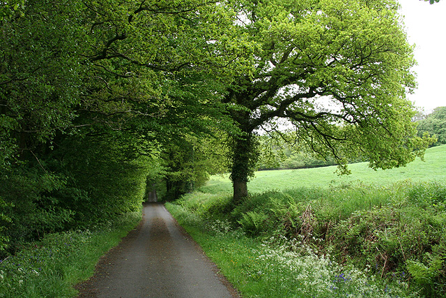
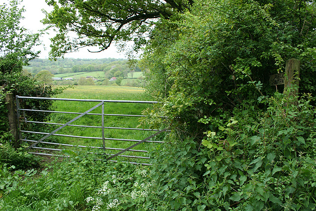
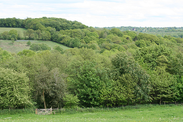
Barn Plantation, located in Devon, England, is a picturesque woodland area known for its natural beauty and diverse ecosystem. Spread over a vast expanse of land, this forested paradise is a haven for outdoor enthusiasts and nature lovers alike.
The woodland, comprising mainly of deciduous trees such as oak, beech, and birch, presents a rich tapestry of colors throughout the year. In spring, the forest floor is adorned with a vibrant carpet of bluebells and wildflowers, creating a stunning visual spectacle. During the autumn months, the foliage transforms into a kaleidoscope of red, orange, and gold, attracting visitors from far and wide.
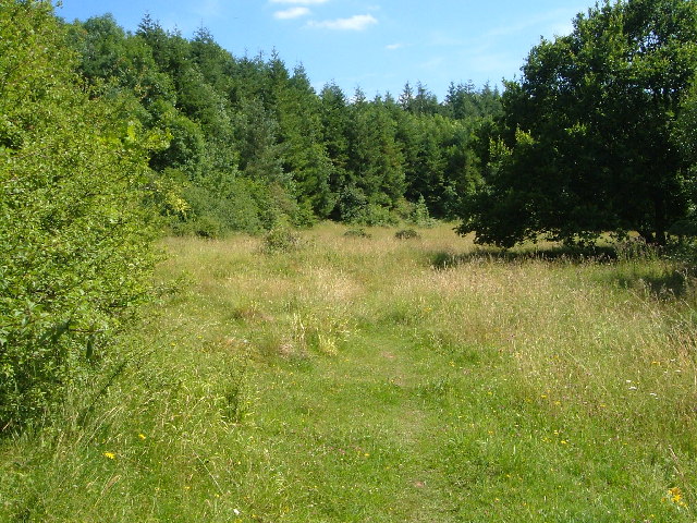
Barn Plantation boasts an extensive network of walking trails, offering visitors an opportunity to explore the forest at their own pace. These well-maintained paths wind through the woods, meandering beside babbling brooks and providing glimpses of native wildlife, including deer, foxes, and various bird species. The gentle rustling of leaves and the sweet chorus of birdsong create a tranquil ambiance that is both soothing and invigorating.
For those seeking a more immersive experience, Barn Plantation offers camping facilities and designated picnic areas. The campsite, situated in a secluded part of the forest, provides a peaceful retreat amidst the beauty of nature. The picnic areas, strategically placed throughout the woodland, offer a perfect spot to enjoy a packed lunch while soaking in the breathtaking views.
Barn Plantation is not only a refuge for flora and fauna but also a testament to the importance of preserving natural habitats. With its stunning scenery and diverse wildlife, this woodland gem in Devon is a true paradise for those seeking solace in nature.
If you have any feedback on the listing, please let us know in the comments section below.
Barn Plantation Images
Images are sourced within 2km of 50.930527/-3.1779289 or Grid Reference ST1715. Thanks to Geograph Open Source API. All images are credited.


Barn Plantation is located at Grid Ref: ST1715 (Lat: 50.930527, Lng: -3.1779289)
Administrative County: Devon
District: Mid Devon
Police Authority: Devon and Cornwall
What 3 Words
///panic.reworked.credit. Near Hemyock, Devon
Nearby Locations
Related Wikis

Ringdown SSSI, Somerset
Ringdown (grid reference ST178155) is a 4.0 hectare (9.9 acre) biological Site of Special Scientific Interest west of Burnworthy in the Blackdown Hills...
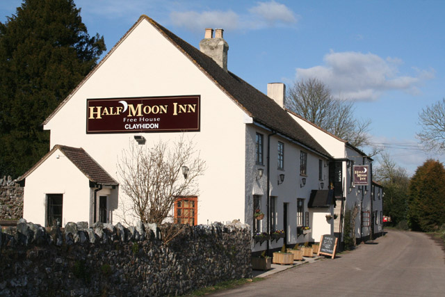
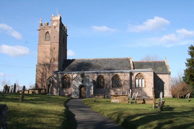
Clayhidon
Clayhidon () is a village and civil parish in Mid Devon, England. The parish church is St. Andrews. The parish is in the Blackdown Hills and its northern...

Churchstanton
Churchstanton is a village and civil parish in Somerset, England, situated within the Blackdown Hills Area of Outstanding Natural Beauty, on the River...
Quants Reserve
Quants Reserve is a nature reserve north west of Burnworthy in Somerset, England. It consists of a grassland clearing in a forestry plantation. It is well...
Ashculme
Ashculme is a village in Devon, England.

Leigh Reservoir
Leigh Reservoir, or Leigh Hill Reservoir, is a small reservoir in Somerset, England. It was built in 1893 to supply water to the town of Taunton, Somerset...

RAF Culmhead
Royal Air Force Culmhead or more simply RAF Culmhead is a former Royal Air Force station, situated at Churchstanton on the Blackdown Hills in Somerset...
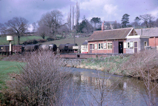
Hemyock railway station
Hemyock railway station served the village of Hemyock, Devon, England, from 1876 to 1963 on the Culm Valley Light Railway. == History == The station was...
Nearby Amenities
Located within 500m of 50.930527,-3.1779289Have you been to Barn Plantation?
Leave your review of Barn Plantation below (or comments, questions and feedback).