Coombe Land Copse
Wood, Forest in Somerset Somerset West and Taunton
England
Coombe Land Copse
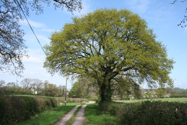
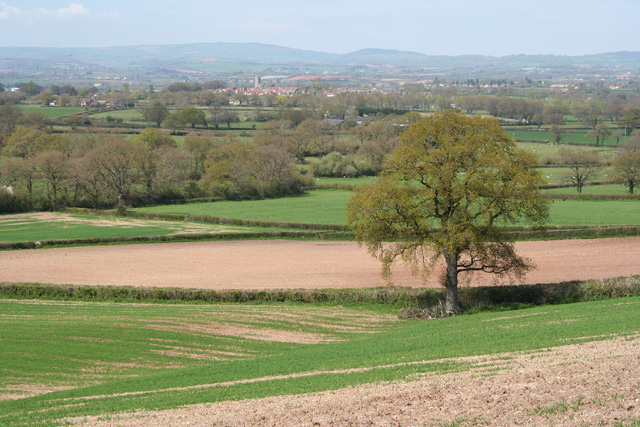
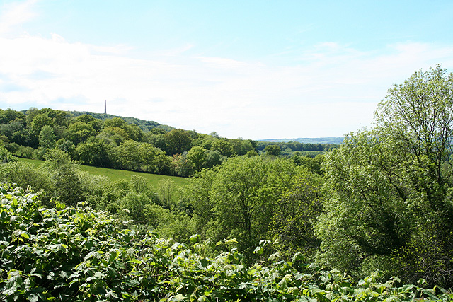
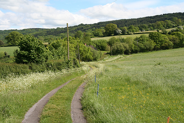
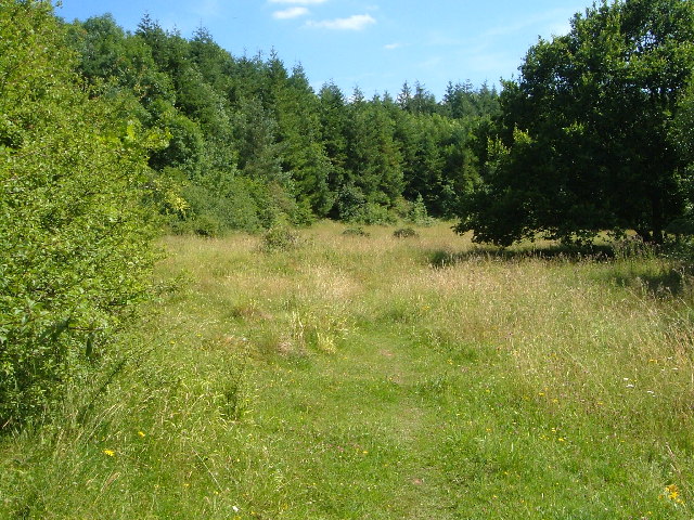
Coombe Land Copse is a picturesque woodland located in Somerset, England. Stretching across an area of approximately 50 acres, this enchanting forest is a haven for nature enthusiasts and those seeking tranquility amidst the beauty of the countryside.
The copse is characterized by a diverse array of tree species, including oak, beech, ash, and hazel. These majestic trees create a dense canopy that filters the sunlight, casting a dappled glow on the forest floor. Beneath the towering giants, a rich understory of wildflowers, ferns, and mosses thrives, adding bursts of color to the woodland landscape.
Traversing Coombe Land Copse, visitors can explore a network of well-maintained footpaths that meander through the forest. These paths offer a chance to immerse oneself in the serene ambiance of the copse while enjoying peaceful walks or engaging in birdwatching. The forest is home to a variety of bird species, including woodpeckers, thrushes, and owls, making it a popular spot for avid birdwatchers.
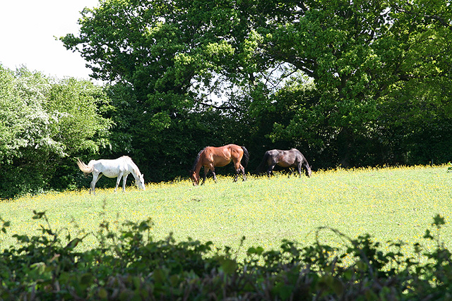
Coombe Land Copse also provides habitat for a range of woodland creatures, such as squirrels, badgers, and deer. Wildlife enthusiasts can spot these creatures in their natural habitat, adding an element of excitement to their woodland adventure.
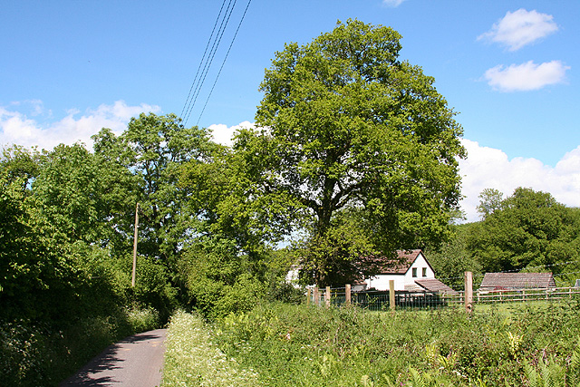
The copse is easily accessible, with designated parking areas and well-marked entrances. Picnic spots are scattered throughout the woodland, offering visitors the opportunity to relax and enjoy a meal surrounded by nature's serenity.
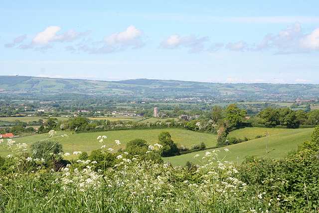
Coombe Land Copse is a true gem, offering a peaceful and enchanting escape for nature lovers, hikers, and families seeking a day of outdoor exploration in the heart of Somerset.
If you have any feedback on the listing, please let us know in the comments section below.
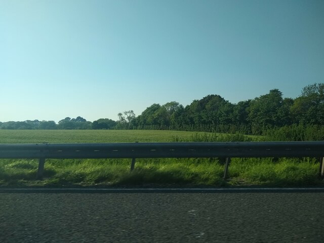
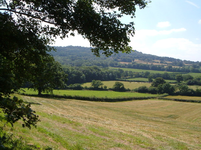
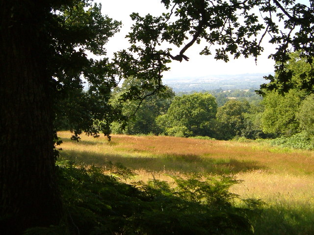
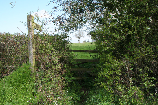
Coombe Land Copse Images
Images are sourced within 2km of 50.964413/-3.1822179 or Grid Reference ST1718. Thanks to Geograph Open Source API. All images are credited.


Coombe Land Copse is located at Grid Ref: ST1718 (Lat: 50.964413, Lng: -3.1822179)
Administrative County: Somerset
District: Somerset West and Taunton
Police Authority: Avon and Somerset
What 3 Words
///rejoiced.resists.dupe. Near Hemyock, Devon
Nearby Locations
Related Wikis
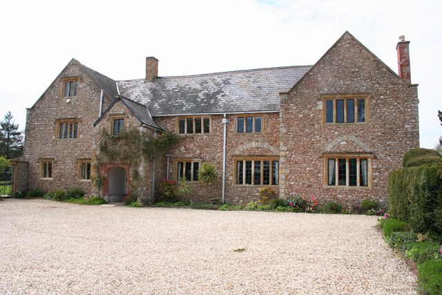
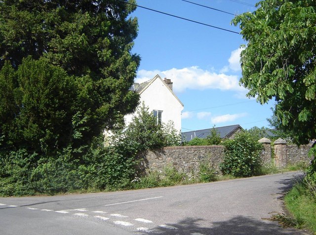
Gerbestone Manor
Gerbestone Manor in West Buckland, Somerset, England was largely rebuilt in the late 16th century, although some fabric from the 13th century house remains...
West Buckland
West Buckland is a village and civil parish in Somerset, England, situated 5 miles (8.0 km) south west of Taunton. The parish has a population of 1,189...
Quants Reserve
Quants Reserve is a nature reserve north west of Burnworthy in Somerset, England. It consists of a grassland clearing in a forestry plantation. It is well...

South West England
South West England, or the South West of England, is one of the nine official regions of England in the United Kingdom. It consists of the counties of...
Taunton Deane services
Taunton Deane services is a double sided motorway service station on the M5 motorway near Taunton, England. It is owned by Roadchef. == Location == The...

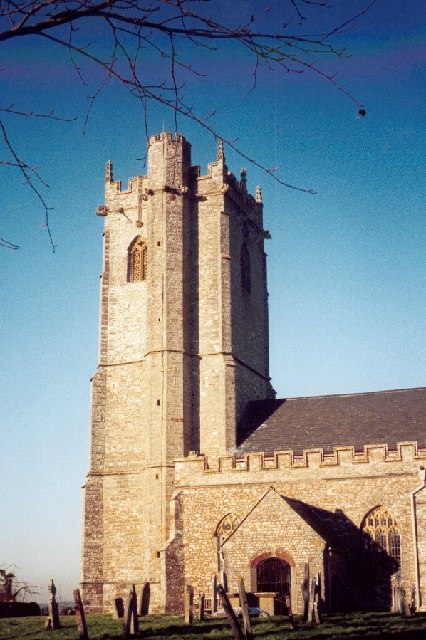
Church of St Michael, Angersleigh
The Anglican Church of St Michael in Angersleigh, Somerset, England was built in the 14th century. It is a Grade II* listed building. == History == The...

Leigh Reservoir
Leigh Reservoir, or Leigh Hill Reservoir, is a small reservoir in Somerset, England. It was built in 1893 to supply water to the town of Taunton, Somerset...

Wellington, Somerset
Wellington is a market town in rural Somerset, a county in the west of England, situated 7 miles (11 km) south west of Taunton, near the border with Devon...
Nearby Amenities
Located within 500m of 50.964413,-3.1822179Have you been to Coombe Land Copse?
Leave your review of Coombe Land Copse below (or comments, questions and feedback).