Ashlands Wood

Wood, Forest in Cumberland Allerdale

England

Ashlands Wood

Snow on hill road descending to Thackthwaite Thin snow cover on the road which reaches Thackthwaite in the Vale of Lorton.
The slopes across the valley rise to Whiteside and Grasmoor. Crummock Water can be seen in the distance.
Snow on hill road descending to Thackthwaite Credit: Trevor Littlewood

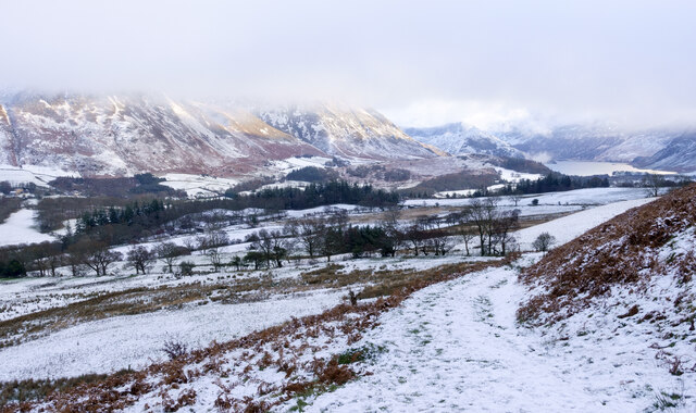
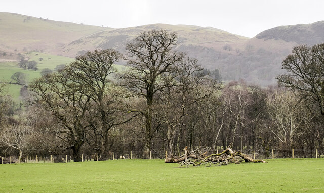
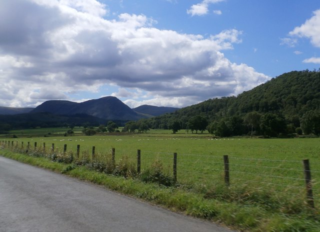
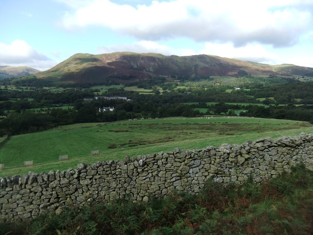
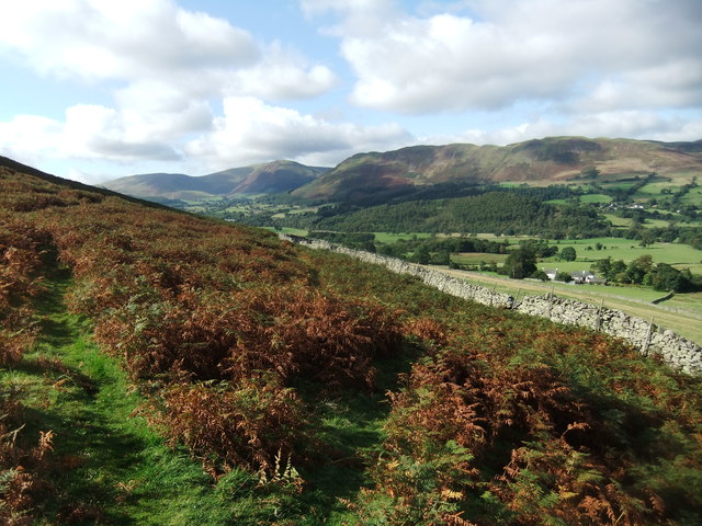
Ashlands Wood is a picturesque forest located in Cumberland, a county in the northwest of England. Covering an area of approximately 100 acres, it is a haven for nature enthusiasts and offers a tranquil escape from the bustling city life. The wood is primarily composed of a mix of deciduous and coniferous trees, including oak, beech, pine, and spruce, creating a diverse and beautiful landscape.

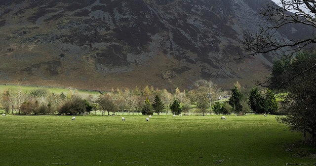
The forest is home to a wide variety of flora and fauna, making it a popular destination for wildlife enthusiasts and birdwatchers. Visitors can spot a range of bird species, such as woodpeckers, owls, and various songbirds. Small mammals, including foxes, rabbits, and squirrels, can also be seen scurrying amongst the trees.

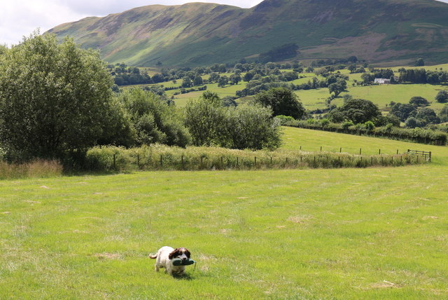
For those seeking outdoor activities, Ashlands Wood offers several well-maintained walking trails, providing opportunities for leisurely strolls or more challenging hikes. The paths meander through the forest, offering glimpses of the surrounding countryside and providing a peaceful setting for a picnic or a moment of reflection.

The forest is managed by the local forestry commission, ensuring the preservation of its natural beauty and the protection of its wildlife. Educational programs and guided tours are also available, allowing visitors to learn more about the woodland ecosystem and the importance of conservation.

Ashlands Wood is easily accessible by road, with ample parking facilities available for visitors. Whether you are a nature lover, a hiker, or simply seeking a serene environment to unwind, Ashlands Wood in Cumberland is a must-visit destination that promises a memorable experience in the heart of nature.

If you have any feedback on the listing, please let us know in the comments section below.

Ashlands Wood Images

Images are sourced within 2km of 54.598773/-3.3037138 or Grid Reference NY1523. Thanks to Geograph Open Source API. All images are credited.

Snow on hill road descending to Thackthwaite Thin snow cover on the road which reaches Thackthwaite in the Vale of Lorton.
The slopes across the valley rise to Whiteside and Grasmoor. Crummock Water can be seen in the distance.
Snow on hill road descending to Thackthwaite
Thin snow cover on the road which reaches Thackthwaite in the Vale of Lorton. The slopes across the valley rise to Whiteside and Grasmoor. Crummock Water can be seen in the distance.
Trees at field edge A view across a field from the B5289 south of Hopebeck Bridge to the trees which line Hope Beck. There's a pile of broken branches in view and there are other similar heaps nearby, debris probably of the winter  storms of 2021 / 2022.
Trees at field edge
A view across a field from the B5289 south of Hopebeck Bridge to the trees which line Hope Beck. There's a pile of broken branches in view and there are other similar heaps nearby, debris probably of the winter storms of 2021 / 2022.
Sunshine creeping across fields and trees An eastwards view from a minor road at Brackenthwaite, north of Crummock Water.
The mountain slope in the distance is the west face of Whiteside.
Sunshine creeping across fields and trees
An eastwards view from a minor road at Brackenthwaite, north of Crummock Water. The mountain slope in the distance is the west face of Whiteside.
Murky day in Lorton Vale Looking across the vale towards Low Fell in the mist.
Murky day in Lorton Vale
Looking across the vale towards Low Fell in the mist.
A Gated Road Near The Hope, in the Lorton Vale.
A Gated Road
Near The Hope, in the Lorton Vale.
Gasgale Crags
Gasgale Crags
Around the aged ash tree near Low Lorton What stories this tree could tell! Today it has been announced that the Lake District has entered the hallowed empire of the World Heritage status. It should be thus and despite its over-population of tourists I am glad to say there's always a spot around here that you can enjoy in splendid isolation.
Around the aged ash tree near Low Lorton
What stories this tree could tell! Today it has been announced that the Lake District has entered the hallowed empire of the World Heritage status. It should be thus and despite its over-population of tourists I am glad to say there's always a spot around here that you can enjoy in splendid isolation.
A dog, a busman's holiday by Whitbeck Bridge Here, Springer keeps her paw in amidst the splendour of the latest addition to the World Heritage sites.
A dog, a busman's holiday by Whitbeck Bridge
Here, Springer keeps her paw in amidst the splendour of the latest addition to the World Heritage sites.
Gasgale Gill
Gasgale Gill
Dusk at Whitbeck Bridge
Agricultural Compound by Whit Beck
Fields near Newhouse Farm
Gated Field at the Hopebeck Road Junction The signpost seems to have taken a knock since 2012 see: <a href="https://www.geograph.org.uk/photo/3148361">NY1523 : Hopebeck Sign</a>
Gated Field at the Hopebeck Road Junction
The signpost seems to have taken a knock since 2012 see: NY1523 : Hopebeck Sign
Minor Road Junction near Brackenthwaite
Beck House
Beck House
Brackenthwaite
Brackenthwaite
Path below Whiteside
Path below Dodd
Path below Dodd
Show me another place!

Ashlands Wood is located at Grid Ref: NY1523 (Lat: 54.598773, Lng: -3.3037138)

Administrative County: Cumbria

District: Allerdale

Police Authority: Cumbria

What 3 Words

///jugs.lion.soap. Near Cockermouth, Cumbria

Related Wikis

Thackthwaite

Thackthwaite is a village in Cumbria, England, from which hikers can climb Low Fell and Fellbarrow. The place-name contains thwaite ("clearing").A second...

Brackenthwaite, Buttermere

Brackenthwaite is a settlement and former civil parish, now in the parish of Buttermere, in the unitary authority area of Cumberland, in the ceremonial...

Whiteside (Lake District)

Whiteside is a fell in the north-western area of the English Lake District. It stands at the western end of the Grisedale Pike- Hopegill Head ridge overlooking...

Brackenthwaite Hows

Brackenthwaite Hows (also known as Lanthwaite Hill) is a hill in the Lake District of North West England. Crummock Water, Looking Towards Buttermere, a...

Nearby Amenities

Located within 500m of 54.598773,-3.3037138
Power: pole
Lat/Long: 54.5977546/-3.2982962
Power: pole
Lat/Long: 54.5970282/-3.2990436
Power: pole
Lat/Long: 54.596614/-3.2993779
Power: pole
Lat/Long: 54.59562/-3.2998134
Power: pole
Lat/Long: 54.5947668/-3.3002226
The data included in this document is from www.openstreetmap.org. The data is made available under ODbL.

Have you been to Ashlands Wood?

Leave your review of Ashlands Wood below (or comments, questions and feedback).