Oake Plantation
Wood, Forest in Somerset Somerset West and Taunton
England
Oake Plantation

Oake Plantation, located in Somerset, England, is a picturesque woodland area known for its stunning natural beauty and rich biodiversity. Covering an expansive area, the plantation is home to a diverse range of trees, making it an important habitat for various flora and fauna.
The woodland is predominantly composed of a mix of deciduous and coniferous trees, including oak, beech, pine, and birch. These trees provide a lush canopy that creates a serene and tranquil atmosphere, perfect for nature lovers and outdoor enthusiasts.
Walking through Oake Plantation, visitors will be greeted by a vibrant undergrowth of plants and wildflowers, adding a burst of color to the surroundings. The woodland floor is also home to a variety of fungi species, adding to the ecological richness of the area.
Oake Plantation is not only a haven for plant life but also a sanctuary for numerous animal species. The woodland supports a thriving ecosystem, with a wide range of birds, small mammals, and insects calling it home. Birdwatchers will have the opportunity to spot species such as woodpeckers, owls, and various songbirds.
The plantation offers several walking trails and paths, allowing visitors to explore the woodland at their own pace. These trails provide opportunities for nature photography, birdwatching, and simply immersing oneself in the tranquility of the surroundings.
Oake Plantation is a cherished natural gem in Somerset, offering a peaceful retreat for those seeking solace in nature's embrace. Its diverse range of trees, vibrant undergrowth, and abundant wildlife make it a must-visit destination for anyone looking to connect with the beauty of the natural world.
If you have any feedback on the listing, please let us know in the comments section below.
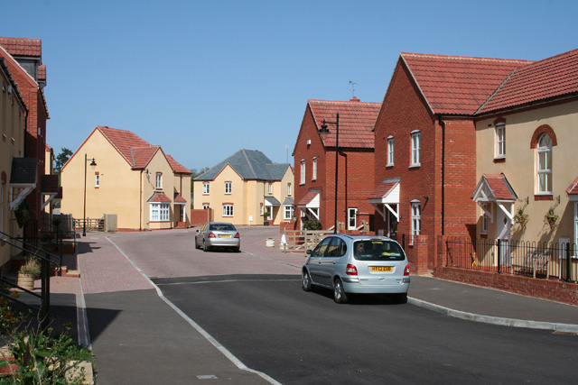
Oake Plantation Images
Images are sourced within 2km of 51.025277/-3.2118565 or Grid Reference ST1525. Thanks to Geograph Open Source API. All images are credited.


Oake Plantation is located at Grid Ref: ST1525 (Lat: 51.025277, Lng: -3.2118565)
Administrative County: Somerset
District: Somerset West and Taunton
Police Authority: Avon and Somerset
What 3 Words
///await.mainland.vans. Near Milverton, Somerset
Nearby Locations
Related Wikis

Oake
Oake is a village and civil parish in Somerset, England, situated 5 miles (8.0 km) west of Taunton. The village has a population of 765.The parish includes...
Church of St Bartholomew, Oake
The Church of St Bartholomew in Oake, Somerset, England was built in the 13th century. It is a Grade II* listed building. == History == The first part...

Church of St John the Baptist, Heathfield
The Church of St John the Baptist in Heathfield, Somerset, England was built in the 13th century, from which the tower remains. It is a Grade II listed...

Church of the Holy Cross, Hillfarrance
The Church of the Holy Cross in Hillfarrance, Oake, Somerset, England was built in the 14th century. It is a Grade II* listed building. == History == The...
Cotford St Luke
Cotford St Luke () is a village and civil parish in Somerset, England. It is located approximately 2 miles (3.2 km) northwest of Norton Fitzwarren and...

Tone Vale Hospital
Tone Vale Hospital was a psychiatric hospital located approximately 3 kilometres (1.9 mi) to the north west of Norton Fitzwarren, near Taunton, Somerset...
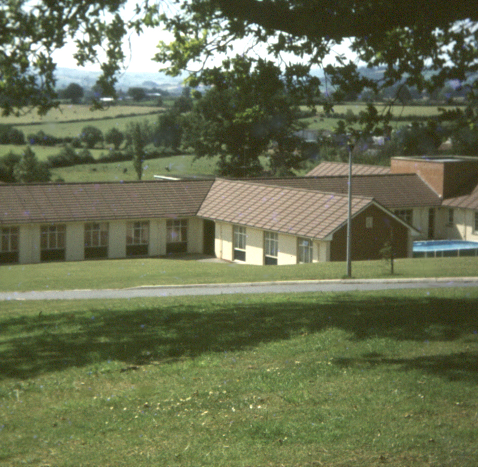
Merrifield Children's Unit
Merrifield Children's Unit (also known as Merryfield or colloquially as Merrifields) was a residential children's and adolescents' psychiatric institution...

Halse, Somerset
Halse is a village and civil parish in Somerset, England, situated 6 miles (9.7 km) north west of Taunton. The village has a population of 290. == History... ==
Nearby Amenities
Located within 500m of 51.025277,-3.2118565Have you been to Oake Plantation?
Leave your review of Oake Plantation below (or comments, questions and feedback).